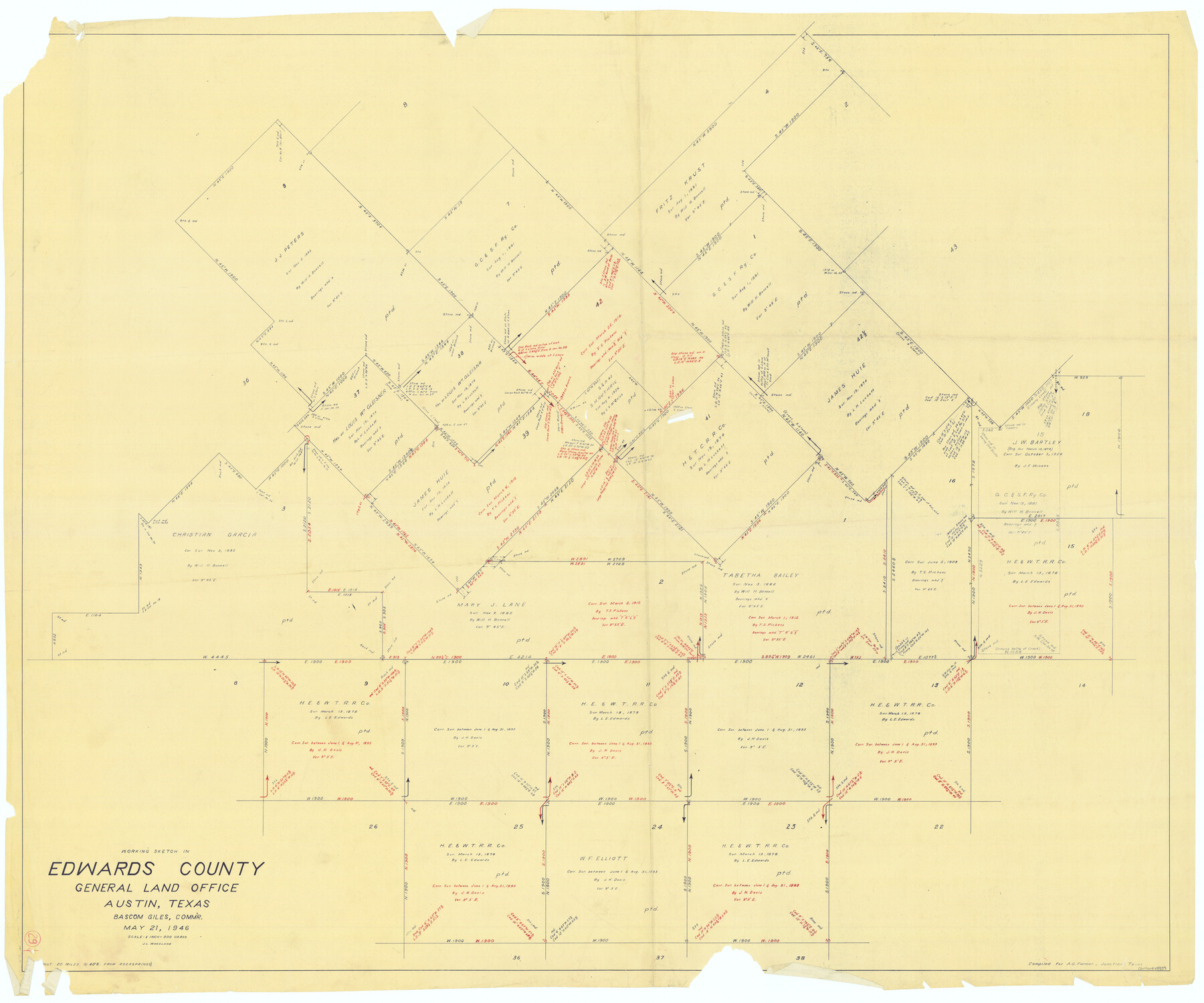
Edwards County Working Sketch 29
-
Map/Doc
68905
-
Collection
General Map Collection
-
Counties
Edwards
-
Subjects
Cadastral Surveying Working Sketch
-
Height x Width
44.9 x 53.9 inches
114.0 x 136.9 cm
Part of: General Map Collection
Deaf Smith County Sketch File 7
![20664, Deaf Smith County Sketch File 7, General Map Collection](https://historictexasmaps.com/wmedia_w700/pdf_converted_jpg/qi_pdf_thumbnail_10660.jpg)
Print $4.00
- Digital $50.00
Deaf Smith County Sketch File 7
1917
Size 11.3 x 9.0 inches
Map/Doc 20664
Cass County Working Sketch 14
![67917, Cass County Working Sketch 14, General Map Collection](https://historictexasmaps.com/wmedia_w700/maps/67917.tif.jpg)
Print $20.00
- Digital $50.00
Cass County Working Sketch 14
Size 36.7 x 26.4 inches
Map/Doc 67917
Upton County Sketch File 11
![12511, Upton County Sketch File 11, General Map Collection](https://historictexasmaps.com/wmedia_w700/pdf_converted_jpg/qi_pdf_thumbnail_8790.jpg)
Print $20.00
- Digital $50.00
Upton County Sketch File 11
1919
Size 22.5 x 27.6 inches
Map/Doc 12511
Mills County Sketch File 18A
![12093, Mills County Sketch File 18A, General Map Collection](https://historictexasmaps.com/wmedia_w700/pdf_converted_jpg/qi_pdf_thumbnail_8436.jpg)
Print $20.00
- Digital $50.00
Mills County Sketch File 18A
1913
Size 26.5 x 18.4 inches
Map/Doc 12093
Calhoun County Working Sketch 2a
![67817, Calhoun County Working Sketch 2a, General Map Collection](https://historictexasmaps.com/wmedia_w700/maps/67817.tif.jpg)
Print $20.00
- Digital $50.00
Calhoun County Working Sketch 2a
Size 17.4 x 20.1 inches
Map/Doc 67817
Sutton County Rolled Sketch 65
![7900, Sutton County Rolled Sketch 65, General Map Collection](https://historictexasmaps.com/wmedia_w700/maps/7900.tif.jpg)
Print $20.00
- Digital $50.00
Sutton County Rolled Sketch 65
Size 40.8 x 30.5 inches
Map/Doc 7900
Fisher County Sketch File A
![11482, Fisher County Sketch File A, General Map Collection](https://historictexasmaps.com/wmedia_w700/pdf_converted_jpg/qi_pdf_thumbnail_7933.jpg)
Print $20.00
- Digital $50.00
Fisher County Sketch File A
Size 33.1 x 22.8 inches
Map/Doc 11482
Medina County Working Sketch 5
![70920, Medina County Working Sketch 5, General Map Collection](https://historictexasmaps.com/wmedia_w700/maps/70920.tif.jpg)
Print $20.00
- Digital $50.00
Medina County Working Sketch 5
Size 38.5 x 37.3 inches
Map/Doc 70920
Uvalde County Working Sketch 43
![72113, Uvalde County Working Sketch 43, General Map Collection](https://historictexasmaps.com/wmedia_w700/maps/72113.tif.jpg)
Print $4.00
- Digital $50.00
Uvalde County Working Sketch 43
Size 29.3 x 27.7 inches
Map/Doc 72113
Map of the New England or Eastern States (Inset 1: Map of New Brunswick, Nova Scotia and Newfoundland / Inset 2: Vicinity of Boston and Providence / Inset 3: Vicinity of New Haven and Hartford)
![93495, Map of the New England or Eastern States (Inset 1: Map of New Brunswick, Nova Scotia and Newfoundland / Inset 2: Vicinity of Boston and Providence / Inset 3: Vicinity of New Haven and Hartford), General Map Collection](https://historictexasmaps.com/wmedia_w700/maps/93495.tif.jpg)
Print $20.00
- Digital $50.00
Map of the New England or Eastern States (Inset 1: Map of New Brunswick, Nova Scotia and Newfoundland / Inset 2: Vicinity of Boston and Providence / Inset 3: Vicinity of New Haven and Hartford)
1844
Size 17.8 x 11.8 inches
Map/Doc 93495
Panola County Working Sketch 41
![71450, Panola County Working Sketch 41, General Map Collection](https://historictexasmaps.com/wmedia_w700/maps/71450.tif.jpg)
Print $20.00
- Digital $50.00
Panola County Working Sketch 41
Size 30.3 x 41.0 inches
Map/Doc 71450
Menard County Sketch File 29
![10543, Menard County Sketch File 29, General Map Collection](https://historictexasmaps.com/wmedia_w700/pdf_converted_jpg/qi_pdf_thumbnail_7197.jpg)
Print $20.00
- Digital $50.00
Menard County Sketch File 29
1962
Size 21.0 x 41.1 inches
Map/Doc 10543
You may also like
City and Harbor of Port Arthur Texas, Bird's Eye View Looking South to the Gulf of Mexico
![93483, City and Harbor of Port Arthur Texas, Bird's Eye View Looking South to the Gulf of Mexico, Library of Congress](https://historictexasmaps.com/wmedia_w700/maps/93483.tif.jpg)
Print $20.00
City and Harbor of Port Arthur Texas, Bird's Eye View Looking South to the Gulf of Mexico
1912
Size 17.4 x 39.9 inches
Map/Doc 93483
Stephens County Sketch File 11
![37055, Stephens County Sketch File 11, General Map Collection](https://historictexasmaps.com/wmedia_w700/pdf_converted_jpg/qi_pdf_thumbnail_14296.jpg)
Print $4.00
- Digital $50.00
Stephens County Sketch File 11
1882
Size 8.8 x 9.1 inches
Map/Doc 37055
Map of Cameron, Hidalgo and half of Starr County of Texas
![3150, Map of Cameron, Hidalgo and half of Starr County of Texas, General Map Collection](https://historictexasmaps.com/wmedia_w700/maps/3150.tif.jpg)
Print $20.00
- Digital $50.00
Map of Cameron, Hidalgo and half of Starr County of Texas
1900
Size 42.4 x 30.3 inches
Map/Doc 3150
[F. W. & D. C. Ry. Co. Alignment and Right of Way Map, Clay County]
![64729, [F. W. & D. C. Ry. Co. Alignment and Right of Way Map, Clay County], General Map Collection](https://historictexasmaps.com/wmedia_w700/maps/64729.tif.jpg)
Print $20.00
- Digital $50.00
[F. W. & D. C. Ry. Co. Alignment and Right of Way Map, Clay County]
1927
Size 18.5 x 11.7 inches
Map/Doc 64729
Johnson County Sketch File 22
![11891, Johnson County Sketch File 22, General Map Collection](https://historictexasmaps.com/wmedia_w700/pdf_converted_jpg/qi_pdf_thumbnail_8279.jpg)
Print $20.00
- Digital $50.00
Johnson County Sketch File 22
Size 18.8 x 16.2 inches
Map/Doc 11891
Sutton County Working Sketch 8
![62351, Sutton County Working Sketch 8, General Map Collection](https://historictexasmaps.com/wmedia_w700/maps/62351.tif.jpg)
Print $20.00
- Digital $50.00
Sutton County Working Sketch 8
Size 14.2 x 21.6 inches
Map/Doc 62351
Dimmit County Working Sketch 37
![68698, Dimmit County Working Sketch 37, General Map Collection](https://historictexasmaps.com/wmedia_w700/maps/68698.tif.jpg)
Print $20.00
- Digital $50.00
Dimmit County Working Sketch 37
Size 28.9 x 25.6 inches
Map/Doc 68698
Jasper County Working Sketch 31
![66493, Jasper County Working Sketch 31, General Map Collection](https://historictexasmaps.com/wmedia_w700/maps/66493.tif.jpg)
Print $20.00
- Digital $50.00
Jasper County Working Sketch 31
Size 38.2 x 37.7 inches
Map/Doc 66493
Kinney County Working Sketch 1
![70183, Kinney County Working Sketch 1, General Map Collection](https://historictexasmaps.com/wmedia_w700/maps/70183.tif.jpg)
Print $20.00
- Digital $50.00
Kinney County Working Sketch 1
Size 22.6 x 24.0 inches
Map/Doc 70183
Leon County Rolled Sketch 10
![6598, Leon County Rolled Sketch 10, General Map Collection](https://historictexasmaps.com/wmedia_w700/maps/6598.tif.jpg)
Print $20.00
- Digital $50.00
Leon County Rolled Sketch 10
1962
Size 30.9 x 37.2 inches
Map/Doc 6598
Starr County Rolled Sketch 24
![7808, Starr County Rolled Sketch 24, General Map Collection](https://historictexasmaps.com/wmedia_w700/maps/7808.tif.jpg)
Print $20.00
- Digital $50.00
Starr County Rolled Sketch 24
1938
Size 37.5 x 26.7 inches
Map/Doc 7808
Travis County Rolled Sketch 7
![8012, Travis County Rolled Sketch 7, General Map Collection](https://historictexasmaps.com/wmedia_w700/maps/8012.tif.jpg)
Print $20.00
- Digital $50.00
Travis County Rolled Sketch 7
Size 17.4 x 37.0 inches
Map/Doc 8012