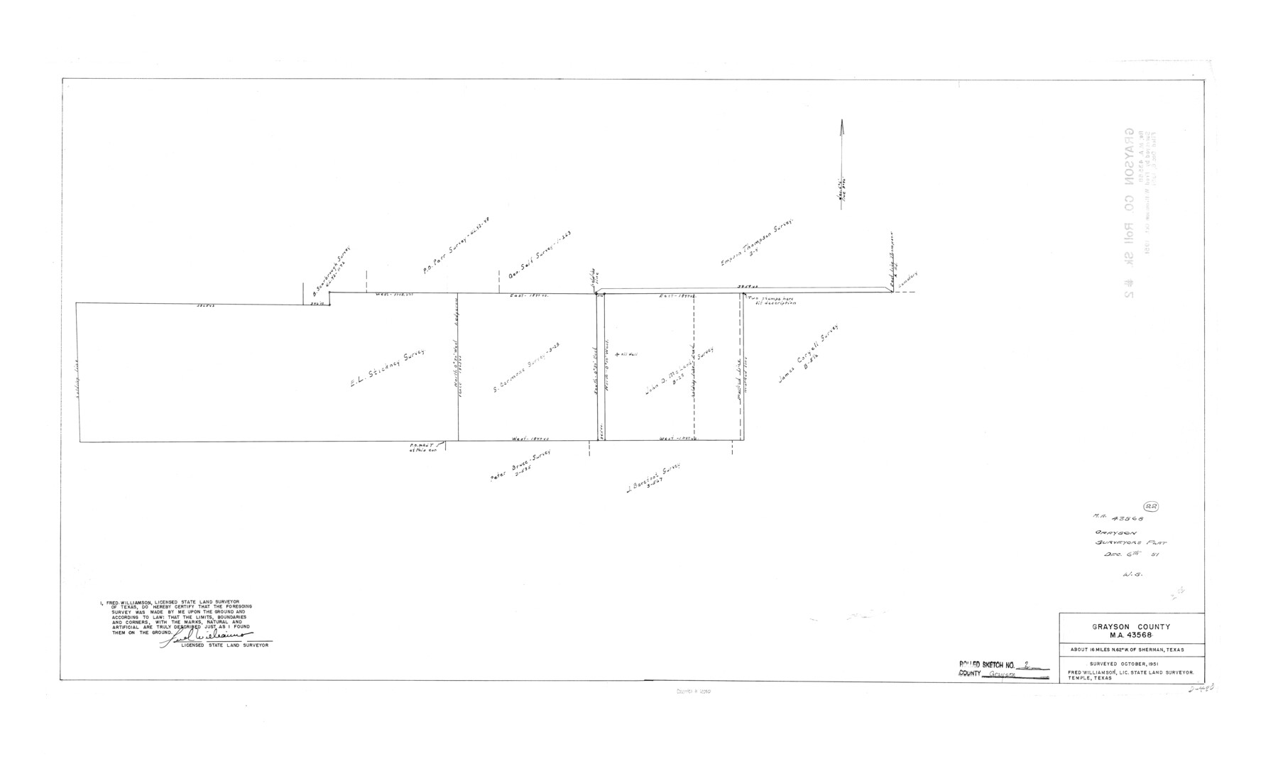
Grayson County Rolled Sketch 2
Grayson County MA 43568
-
Map/Doc
6030
-
Collection
General Map Collection
-
Object Dates
1951 (Creation Date)
1951/12/6 (File Date)
-
People and Organizations
Fred Williamson (Surveyor/Engineer)
-
Counties
Grayson
-
Subjects
Surveying Rolled Sketch
-
Height x Width
25.5 x 42.5 inches
64.8 x 108.0 cm
Part of: General Map Collection
Sterling County Rolled Sketch 30

Print $20.00
- Digital $50.00
Sterling County Rolled Sketch 30
Size 20.4 x 27.8 inches
Map/Doc 7855
Zapata County Sketch File 3

Print $6.00
- Digital $50.00
Zapata County Sketch File 3
1883
Size 16.3 x 10.7 inches
Map/Doc 40904
Coast Chart No. 210 Aransas Pass and Corpus Christi Bay with the coast to latitude 27° 12' Texas

Print $20.00
- Digital $50.00
Coast Chart No. 210 Aransas Pass and Corpus Christi Bay with the coast to latitude 27° 12' Texas
1887
Size 27.3 x 18.3 inches
Map/Doc 72803
Childress County Rolled Sketch 1

Print $20.00
- Digital $50.00
Childress County Rolled Sketch 1
Size 31.2 x 26.5 inches
Map/Doc 5437
McCulloch County Working Sketch 14

Print $20.00
- Digital $50.00
McCulloch County Working Sketch 14
1990
Size 15.3 x 29.0 inches
Map/Doc 70689
Le Golfe de Mexique, et les Provinces et Isles qui l'Environe comme sont la Floride au nord, le Mexique ou Nouvelle Espagne a l'ouest, la Terre-Ferme au sud, les Is. Antilles, Lucayes, St. Domingue et Jamaique a l'est

Print $20.00
- Digital $50.00
Le Golfe de Mexique, et les Provinces et Isles qui l'Environe comme sont la Floride au nord, le Mexique ou Nouvelle Espagne a l'ouest, la Terre-Ferme au sud, les Is. Antilles, Lucayes, St. Domingue et Jamaique a l'est
1717
Size 20.2 x 25.7 inches
Map/Doc 95923
Eastland County Sketch File 11

Print $8.00
- Digital $50.00
Eastland County Sketch File 11
Size 6.7 x 7.0 inches
Map/Doc 21585
Index for Texas Railroad ROW & track maps available on microfilm at THD & Archives and Records

Print $2.00
- Digital $50.00
Index for Texas Railroad ROW & track maps available on microfilm at THD & Archives and Records
1977
Size 11.3 x 8.8 inches
Map/Doc 60760
Carte des Côtes du Golfe du Mexique compris entre la Pointe Sud de la Presqu'Ile de la Floride et la Pointe Nord de la Presqu'Ile d'Yucatan

Print $20.00
- Digital $50.00
Carte des Côtes du Golfe du Mexique compris entre la Pointe Sud de la Presqu'Ile de la Floride et la Pointe Nord de la Presqu'Ile d'Yucatan
1800
Size 26.0 x 37.5 inches
Map/Doc 95322
Dimmit County Sketch File 30

Print $4.00
- Digital $50.00
Dimmit County Sketch File 30
Size 10.6 x 8.5 inches
Map/Doc 21146
Map of Texas and Adjacent Regions in the Eighteenth Century

Print $20.00
- Digital $50.00
Map of Texas and Adjacent Regions in the Eighteenth Century
1915
Size 16.7 x 20.0 inches
Map/Doc 94007
Kinney County Working Sketch 16

Print $20.00
- Digital $50.00
Kinney County Working Sketch 16
1946
Size 46.3 x 37.7 inches
Map/Doc 70198
You may also like
Ochiltree County Boundary File 6

Print $4.00
- Digital $50.00
Ochiltree County Boundary File 6
Size 11.1 x 8.6 inches
Map/Doc 57713
Live Oak County Boundary File 1

Print $24.00
- Digital $50.00
Live Oak County Boundary File 1
Size 9.0 x 4.2 inches
Map/Doc 56387
Webb County Sketch File 46-1

Print $20.00
- Digital $50.00
Webb County Sketch File 46-1
1939
Size 24.9 x 15.3 inches
Map/Doc 12645
The Republic County of Austin. Defined, May 24, 1838

Print $20.00
The Republic County of Austin. Defined, May 24, 1838
2020
Size 14.7 x 21.6 inches
Map/Doc 96082
Tom Green County Rolled Sketch 14

Print $20.00
- Digital $50.00
Tom Green County Rolled Sketch 14
1953
Size 28.3 x 30.9 inches
Map/Doc 7999
Brewster County Rolled Sketch 49

Print $20.00
- Digital $50.00
Brewster County Rolled Sketch 49
1930
Size 35.1 x 47.4 inches
Map/Doc 8478
Duval County Rolled Sketch 38

Print $20.00
- Digital $50.00
Duval County Rolled Sketch 38
1937
Size 22.6 x 16.1 inches
Map/Doc 5755
Kleberg County Rolled Sketch 10-34

Print $20.00
- Digital $50.00
Kleberg County Rolled Sketch 10-34
1952
Size 38.2 x 32.3 inches
Map/Doc 9384
Scurry County Rolled Sketch 9

Print $20.00
- Digital $50.00
Scurry County Rolled Sketch 9
1963
Size 23.0 x 22.0 inches
Map/Doc 7769
Travis County Working Sketch 40

Print $20.00
- Digital $50.00
Travis County Working Sketch 40
1974
Size 31.7 x 32.1 inches
Map/Doc 69424
Outline Map showing a new route from Texas to Fort Yuma, California for cattle droves and trains en route to California

Print $40.00
- Digital $50.00
Outline Map showing a new route from Texas to Fort Yuma, California for cattle droves and trains en route to California
1870
Size 17.3 x 52.7 inches
Map/Doc 94048
Map of Cameron, Hidalgo and half of Starr County of Texas

Print $20.00
- Digital $50.00
Map of Cameron, Hidalgo and half of Starr County of Texas
1900
Size 42.4 x 30.3 inches
Map/Doc 3150