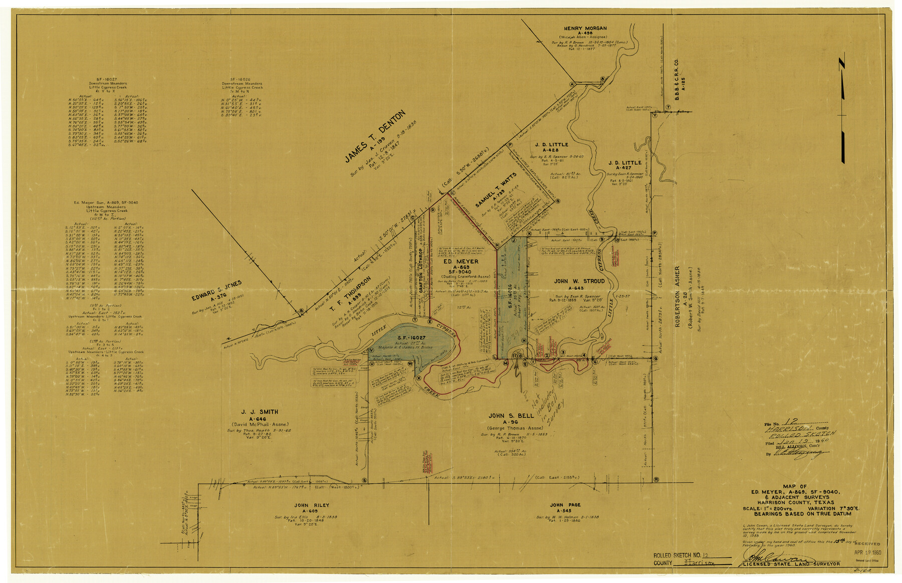
Harrison County Rolled Sketch 12
Map of Ed Meyer, A-869, SF.9040 & adjacent surveys
-
Map/Doc
6155
-
Collection
General Map Collection
-
Object Dates
2/15/1960 (Creation Date)
4/19/1960 (File Date)
-
People and Organizations
John Cowan (Surveyor/Engineer)
-
Counties
Harrison
-
Subjects
Surveying Rolled Sketch
-
Height x Width
22.9 x 34.9 inches
58.2 x 88.7 cm
-
Medium
van dyke/brownline/sepia
-
Scale
1" = 200 varas
Part of: General Map Collection
Bandera County Sketch File 34

Print $6.00
- Digital $50.00
Bandera County Sketch File 34
1987
Size 14.1 x 8.7 inches
Map/Doc 14030
Grayson County Working Sketch 23

Print $20.00
- Digital $50.00
Grayson County Working Sketch 23
1976
Size 18.6 x 24.3 inches
Map/Doc 63262
Red River County Sketch File 23

Print $4.00
- Digital $50.00
Red River County Sketch File 23
1901
Size 11.3 x 8.8 inches
Map/Doc 35157
The Rand-McNally New Commercial Atlas Map of Texas

The Rand-McNally New Commercial Atlas Map of Texas
1914
Size 29.4 x 40.7 inches
Map/Doc 88745
Williamson County Sketch File 31

Print $14.00
- Digital $50.00
Williamson County Sketch File 31
1991
Size 11.2 x 8.4 inches
Map/Doc 40386
Clay County Sketch File 12a

Print $20.00
- Digital $50.00
Clay County Sketch File 12a
Size 19.7 x 16.4 inches
Map/Doc 11085
Montague County Boundary File 1

Print $32.00
- Digital $50.00
Montague County Boundary File 1
Size 12.8 x 8.1 inches
Map/Doc 57399
Flight Mission No. BQY-4M, Frame 34, Harris County

Print $20.00
- Digital $50.00
Flight Mission No. BQY-4M, Frame 34, Harris County
1953
Size 18.6 x 22.4 inches
Map/Doc 85249
Red River County Working Sketch 82

Print $20.00
- Digital $50.00
Red River County Working Sketch 82
1996
Size 21.9 x 30.6 inches
Map/Doc 72068
Flight Mission No. BRA-16M, Frame 66, Jefferson County

Print $20.00
- Digital $50.00
Flight Mission No. BRA-16M, Frame 66, Jefferson County
1953
Size 18.6 x 22.3 inches
Map/Doc 85683
Map of The Surveyed Part of Peters Colony Texas

Print $40.00
- Digital $50.00
Map of The Surveyed Part of Peters Colony Texas
1858
Size 45.0 x 58.1 inches
Map/Doc 4653
Current Miscellaneous File 37

Print $4.00
- Digital $50.00
Current Miscellaneous File 37
Size 13.2 x 8.7 inches
Map/Doc 73956
You may also like
Northern Part of Laguna Madre

Print $20.00
- Digital $50.00
Northern Part of Laguna Madre
1988
Size 45.1 x 36.4 inches
Map/Doc 73531
Industrial - Commercial - Progressive Dallas

Industrial - Commercial - Progressive Dallas
1940
Size 19.1 x 23.7 inches
Map/Doc 96509
The Republic County of Austin. January 29, 1842

Print $20.00
The Republic County of Austin. January 29, 1842
2020
Size 14.7 x 21.7 inches
Map/Doc 96086
Lavaca County

Print $40.00
- Digital $50.00
Lavaca County
1946
Size 51.1 x 42.8 inches
Map/Doc 73216
Lamb County Boundary File 1c

Print $32.00
- Digital $50.00
Lamb County Boundary File 1c
Size 11.0 x 8.7 inches
Map/Doc 56045
Northeast Part of Crockett County

Print $20.00
- Digital $50.00
Northeast Part of Crockett County
1976
Size 31.4 x 41.0 inches
Map/Doc 77253
Crockett County Rolled Sketch 3

Print $20.00
- Digital $50.00
Crockett County Rolled Sketch 3
1886
Size 18.1 x 22.9 inches
Map/Doc 5579
Montgomery County Sketch File 9

Print $6.00
- Digital $50.00
Montgomery County Sketch File 9
Size 9.0 x 7.6 inches
Map/Doc 31795
Map of Blue Creek Ranch in Moore County, Texas

Print $20.00
- Digital $50.00
Map of Blue Creek Ranch in Moore County, Texas
Size 15.1 x 13.8 inches
Map/Doc 91420
Upton County Rolled Sketch 59A

Print $20.00
- Digital $50.00
Upton County Rolled Sketch 59A
Size 35.7 x 45.9 inches
Map/Doc 76423
English Field Notes of the Spanish Archives - Books GMP, FH, SCH, and JAV

English Field Notes of the Spanish Archives - Books GMP, FH, SCH, and JAV
1835
Map/Doc 96545
Flight Mission No. DAG-14K, Frame 145, Matagorda County

Print $20.00
- Digital $50.00
Flight Mission No. DAG-14K, Frame 145, Matagorda County
1952
Size 18.6 x 22.6 inches
Map/Doc 86312