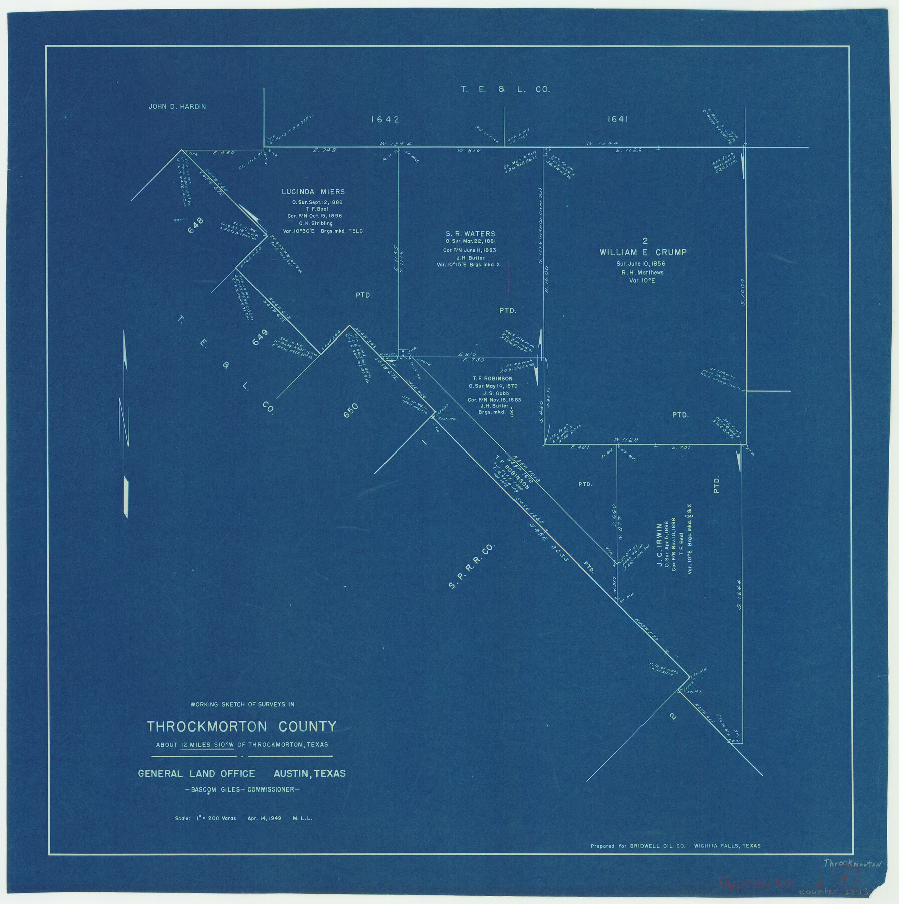
Throckmorton County Working Sketch 4
-
Map/Doc
62113
-
Collection
General Map Collection
-
Object Dates
4/14/1949 (Creation Date)
-
People and Organizations
M. L. Liles (Draftsman)
-
Counties
Throckmorton
-
Subjects
Surveying Working Sketch
-
Height x Width
25.0 x 24.9 inches
63.5 x 63.3 cm
-
Scale
1" = 200 varas
Part of: General Map Collection
Copy of Surveyor's Field Book, Morris Browning - In Blocks 7, 5 & 4, I&GNRRCo., Hutchinson and Carson Counties, Texas

Print $2.00
- Digital $50.00
Copy of Surveyor's Field Book, Morris Browning - In Blocks 7, 5 & 4, I&GNRRCo., Hutchinson and Carson Counties, Texas
1888
Size 7.0 x 8.8 inches
Map/Doc 62278
Culberson County Working Sketch 73

Print $40.00
- Digital $50.00
Culberson County Working Sketch 73
1975
Size 48.7 x 33.4 inches
Map/Doc 68527
Webb County Sketch File 59

Print $8.00
- Digital $50.00
Webb County Sketch File 59
1943
Size 14.4 x 9.0 inches
Map/Doc 39851
Stephens County Working Sketch 3

Print $3.00
- Digital $50.00
Stephens County Working Sketch 3
1919
Size 11.3 x 9.9 inches
Map/Doc 63946
Lampasas County Sketch File 4

Print $4.00
- Digital $50.00
Lampasas County Sketch File 4
1861
Size 12.3 x 8.2 inches
Map/Doc 29394
West Part of Liberty Co.

Print $20.00
- Digital $50.00
West Part of Liberty Co.
1977
Size 43.5 x 32.9 inches
Map/Doc 77353
Trinity River, Sycamore Crossing Sheet/Denton Creek

Print $6.00
- Digital $50.00
Trinity River, Sycamore Crossing Sheet/Denton Creek
1928
Size 26.7 x 34.7 inches
Map/Doc 65224
Cameron County Sketch File 10

Print $8.00
- Digital $50.00
Cameron County Sketch File 10
1989
Size 11.1 x 8.6 inches
Map/Doc 17205
Chambers County Rolled Sketch 25

Print $20.00
- Digital $50.00
Chambers County Rolled Sketch 25
1944
Size 33.9 x 31.5 inches
Map/Doc 8618
[Beaumont, Sour Lake and Western Ry. Right of Way and Alignment - Frisco]
![64112, [Beaumont, Sour Lake and Western Ry. Right of Way and Alignment - Frisco], General Map Collection](https://historictexasmaps.com/wmedia_w700/maps/64112.tif.jpg)
Print $20.00
- Digital $50.00
[Beaumont, Sour Lake and Western Ry. Right of Way and Alignment - Frisco]
1910
Size 20.3 x 46.0 inches
Map/Doc 64112
Sabine County

Print $20.00
- Digital $50.00
Sabine County
1920
Size 44.6 x 35.1 inches
Map/Doc 16805
Hunt County Rolled Sketch 3

Print $20.00
- Digital $50.00
Hunt County Rolled Sketch 3
Size 19.1 x 36.0 inches
Map/Doc 6267
You may also like
Wood County Working Sketch 6

Print $20.00
- Digital $50.00
Wood County Working Sketch 6
1941
Size 29.9 x 17.5 inches
Map/Doc 62006
[H. & T. C. RR. Company, Block 47]
![91162, [H. & T. C. RR. Company, Block 47], Twichell Survey Records](https://historictexasmaps.com/wmedia_w700/maps/91162-1.tif.jpg)
Print $20.00
- Digital $50.00
[H. & T. C. RR. Company, Block 47]
1921
Size 13.1 x 20.6 inches
Map/Doc 91162
McLennan County

Print $20.00
- Digital $50.00
McLennan County
1946
Size 42.3 x 45.1 inches
Map/Doc 77362
Maverick County Sketch File 3a

Print $34.00
- Digital $50.00
Maverick County Sketch File 3a
Size 10.0 x 8.0 inches
Map/Doc 31035
Maverick County Sketch File 25

Print $20.00
- Digital $50.00
Maverick County Sketch File 25
1914
Size 18.4 x 25.6 inches
Map/Doc 12055
Flight Mission No. DIX-10P, Frame 148, Aransas County

Print $20.00
- Digital $50.00
Flight Mission No. DIX-10P, Frame 148, Aransas County
1956
Size 18.6 x 22.3 inches
Map/Doc 83950
Coryell County Rolled Sketch 1

Print $20.00
- Digital $50.00
Coryell County Rolled Sketch 1
1943
Size 22.7 x 21.4 inches
Map/Doc 5565
Loving County

Print $20.00
- Digital $50.00
Loving County
1932
Size 36.0 x 46.7 inches
Map/Doc 95575
Texas Coordinate File 7

Print $4.00
- Digital $50.00
Texas Coordinate File 7
Size 11.3 x 8.8 inches
Map/Doc 75316
![90609, [Block K11], Twichell Survey Records](https://historictexasmaps.com/wmedia_w700/maps/90609-1.tif.jpg)
Cochran County Sketch [showing lines run by C. A. Tubbs]
![90435, Cochran County Sketch [showing lines run by C. A. Tubbs], Twichell Survey Records](https://historictexasmaps.com/wmedia_w700/maps/90435-1.tif.jpg)
Print $20.00
- Digital $50.00
Cochran County Sketch [showing lines run by C. A. Tubbs]
Size 10.0 x 23.8 inches
Map/Doc 90435
Wood County Working Sketch 11

Print $20.00
- Digital $50.00
Wood County Working Sketch 11
1964
Size 31.4 x 37.4 inches
Map/Doc 62011