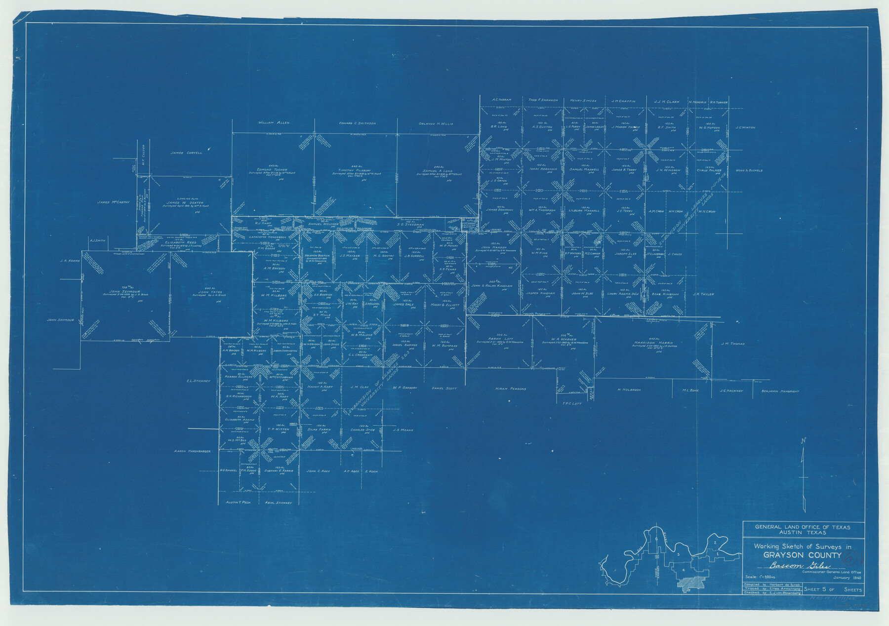
Grayson County Working Sketch 6
-
Map/Doc
63245
-
Collection
General Map Collection
-
Object Dates
1/1940 (Creation Date)
-
People and Organizations
Herbert de Synek (Compiler)
Eltea Armstrong (Tracer)
-
Counties
Grayson
-
Subjects
Surveying Working Sketch
-
Height x Width
28.6 x 40.5 inches
72.6 x 102.9 cm
-
Scale
1" = 500 varas
Part of: General Map Collection
Reagan County Rolled Sketch 15

Print $20.00
- Digital $50.00
Reagan County Rolled Sketch 15
Size 16.7 x 22.7 inches
Map/Doc 7443
Dickens County Sketch File F

Print $4.00
- Digital $50.00
Dickens County Sketch File F
1901
Size 6.9 x 10.7 inches
Map/Doc 20847
State of Texas, Plate 1: Surface-Water Development, Exisiting Reservoirs and Reservoir Sites

Print $20.00
- Digital $50.00
State of Texas, Plate 1: Surface-Water Development, Exisiting Reservoirs and Reservoir Sites
1984
Size 17.8 x 18.1 inches
Map/Doc 3128
Calhoun County NRC Article 33.136 Sketch 12

Print $24.00
Calhoun County NRC Article 33.136 Sketch 12
2023
Map/Doc 97271
Flight Mission No. DQO-11K, Frame 24, Galveston County

Print $20.00
- Digital $50.00
Flight Mission No. DQO-11K, Frame 24, Galveston County
1952
Size 18.6 x 22.4 inches
Map/Doc 85221
Flight Mission No. DQO-7K, Frame 80, Galveston County

Print $20.00
- Digital $50.00
Flight Mission No. DQO-7K, Frame 80, Galveston County
1952
Size 18.8 x 22.4 inches
Map/Doc 85107
Jasper County Rolled Sketch 8

Print $20.00
- Digital $50.00
Jasper County Rolled Sketch 8
Size 17.7 x 12.0 inches
Map/Doc 6356
Lampasas County Sketch File 22

Print $2.00
- Digital $50.00
Lampasas County Sketch File 22
2007
Size 14.0 x 8.5 inches
Map/Doc 93653
Coryell County Sketch File 16

Print $4.00
- Digital $50.00
Coryell County Sketch File 16
Size 6.5 x 5.4 inches
Map/Doc 19373
Childress County Rolled Sketch 4

Print $20.00
- Digital $50.00
Childress County Rolled Sketch 4
1891
Size 18.8 x 42.2 inches
Map/Doc 5438
Map of Rains County

Print $20.00
- Digital $50.00
Map of Rains County
1873
Size 12.5 x 11.6 inches
Map/Doc 4618
Starr County Sketch File 33

Print $8.00
- Digital $50.00
Starr County Sketch File 33
1938
Size 14.3 x 8.8 inches
Map/Doc 36971
You may also like
Williamson County Sketch File 5a

Print $4.00
- Digital $50.00
Williamson County Sketch File 5a
1849
Size 12.8 x 8.1 inches
Map/Doc 40312
Kerr County Rolled Sketch 27

Print $20.00
- Digital $50.00
Kerr County Rolled Sketch 27
1983
Size 33.1 x 33.5 inches
Map/Doc 6506
Map of Germany, Switzerland and Northern Italy engraved to illustrate Mitchell's school and family geography

Print $20.00
- Digital $50.00
Map of Germany, Switzerland and Northern Italy engraved to illustrate Mitchell's school and family geography
1840
Size 11.8 x 9.5 inches
Map/Doc 93504
[Surveys in Austin's Colony along the Navidad River; John P. Borden for Thos. H. Borden]
![77, [Surveys in Austin's Colony along the Navidad River; John P. Borden for Thos. H. Borden], General Map Collection](https://historictexasmaps.com/wmedia_w700/maps/77.tif.jpg)
Print $20.00
- Digital $50.00
[Surveys in Austin's Colony along the Navidad River; John P. Borden for Thos. H. Borden]
1831
Size 20.6 x 9.3 inches
Map/Doc 77
Portion of Block Y, W. D. and F. W. Johnson Subdivision Number 2

Print $20.00
- Digital $50.00
Portion of Block Y, W. D. and F. W. Johnson Subdivision Number 2
Size 23.9 x 15.3 inches
Map/Doc 92500
Kent County Sketch File 9

Print $8.00
- Digital $50.00
Kent County Sketch File 9
Size 10.3 x 8.1 inches
Map/Doc 28832
A New & Correct Map of the Trading Part of the West Indies, including the Seat of War between Gr. Britain and France Likewise the British Empire in America, with the French and Spanish Settlements adjacent thereto

Print $20.00
- Digital $50.00
A New & Correct Map of the Trading Part of the West Indies, including the Seat of War between Gr. Britain and France Likewise the British Empire in America, with the French and Spanish Settlements adjacent thereto
1759
Size 27.4 x 41.4 inches
Map/Doc 93826
Angelina County Working Sketch 47

Print $20.00
- Digital $50.00
Angelina County Working Sketch 47
1976
Size 36.9 x 41.9 inches
Map/Doc 67130
Calcasieu Pass to Sabine Pass

Print $20.00
- Digital $50.00
Calcasieu Pass to Sabine Pass
1961
Size 44.6 x 35.7 inches
Map/Doc 69809
Map showing survey for proposed ship channel from Brownsville to Brazos Santiago Pass

Print $20.00
- Digital $50.00
Map showing survey for proposed ship channel from Brownsville to Brazos Santiago Pass
1912
Size 18.1 x 28.7 inches
Map/Doc 72902
Dawson County Sketch File 30

Print $40.00
- Digital $50.00
Dawson County Sketch File 30
1913
Size 13.6 x 9.1 inches
Map/Doc 20594
[Leagues 152 and 153]
![90287, [Leagues 152 and 153], Twichell Survey Records](https://historictexasmaps.com/wmedia_w700/maps/90287-1.tif.jpg)
Print $20.00
- Digital $50.00
[Leagues 152 and 153]
Size 16.4 x 22.4 inches
Map/Doc 90287