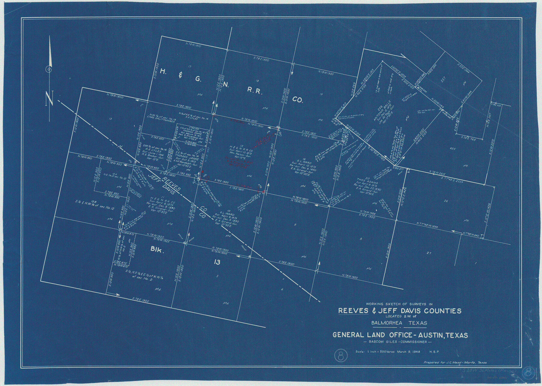
Reeves County Working Sketch 8
-
Map/Doc
63451
-
Collection
General Map Collection
-
Object Dates
3/9/1948 (Creation Date)
-
Counties
Reeves Jeff Davis
-
Subjects
Surveying Working Sketch
-
Height x Width
22.1 x 31.0 inches
56.1 x 78.7 cm
-
Scale
1" = 500 varas
Part of: General Map Collection
Histoire de la Louisiane et de la Cession de Cette Colonie par la France aux États-Unis de l'Amérique Septentrionale

Histoire de la Louisiane et de la Cession de Cette Colonie par la France aux États-Unis de l'Amérique Septentrionale
1829
Map/Doc 97259
Township 9 North Range 14 West, North Western District, Louisiana

Print $20.00
- Digital $50.00
Township 9 North Range 14 West, North Western District, Louisiana
1854
Size 19.5 x 24.6 inches
Map/Doc 65873
Denton County Boundary File 2

Print $22.00
- Digital $50.00
Denton County Boundary File 2
Size 14.1 x 8.5 inches
Map/Doc 52413
Maps of Gulf Intracoastal Waterway, Texas - Sabine River to the Rio Grande and connecting waterways including ship channels

Print $20.00
- Digital $50.00
Maps of Gulf Intracoastal Waterway, Texas - Sabine River to the Rio Grande and connecting waterways including ship channels
1966
Size 14.6 x 22.3 inches
Map/Doc 61956
Val Verde County Rolled Sketch 60

Print $20.00
- Digital $50.00
Val Verde County Rolled Sketch 60
1951
Size 32.4 x 20.4 inches
Map/Doc 8127
Hemphill County

Print $20.00
- Digital $50.00
Hemphill County
1888
Size 23.9 x 18.3 inches
Map/Doc 3653
List of County School Lands

Print $20.00
- Digital $50.00
List of County School Lands
Size 17.7 x 23.2 inches
Map/Doc 65797
Dickens County Rolled Sketch 11

Print $21.00
- Digital $50.00
Dickens County Rolled Sketch 11
1918
Size 10.6 x 15.6 inches
Map/Doc 44285
Colorado County Sketch File 24

Print $20.00
- Digital $50.00
Colorado County Sketch File 24
Size 22.7 x 16.6 inches
Map/Doc 11137
Flight Mission No. DIX-6P, Frame 119, Aransas County

Print $20.00
- Digital $50.00
Flight Mission No. DIX-6P, Frame 119, Aransas County
1956
Size 19.1 x 22.7 inches
Map/Doc 83825
Newton County Rolled Sketch 12

Print $40.00
- Digital $50.00
Newton County Rolled Sketch 12
1952
Size 38.4 x 56.1 inches
Map/Doc 9577
San Jacinto County Sketch File 3

Print $4.00
San Jacinto County Sketch File 3
1857
Size 10.3 x 8.1 inches
Map/Doc 35698
You may also like
Bosque County, Texas

Print $20.00
- Digital $50.00
Bosque County, Texas
1879
Size 25.1 x 29.9 inches
Map/Doc 420
[Sketch of Randall County]
![91756, [Sketch of Randall County], Twichell Survey Records](https://historictexasmaps.com/wmedia_w700/maps/91756-1.tif.jpg)
Print $20.00
- Digital $50.00
[Sketch of Randall County]
Size 21.3 x 18.2 inches
Map/Doc 91756
Real County Sketch File 1

Print $6.00
- Digital $50.00
Real County Sketch File 1
1857
Size 8.2 x 9.6 inches
Map/Doc 35035
Dallas County Working Sketch 16

Print $20.00
- Digital $50.00
Dallas County Working Sketch 16
1981
Size 15.7 x 12.0 inches
Map/Doc 68582
Reeves County Rolled Sketch 23

Print $20.00
- Digital $50.00
Reeves County Rolled Sketch 23
1982
Size 19.6 x 25.5 inches
Map/Doc 7491
San Patricio County Working Sketch 14

Print $20.00
- Digital $50.00
San Patricio County Working Sketch 14
1949
Size 34.9 x 28.2 inches
Map/Doc 63776
Edwards County Working Sketch 7

Print $20.00
- Digital $50.00
Edwards County Working Sketch 7
1918
Size 34.6 x 29.7 inches
Map/Doc 68883
Jefferson County Aerial Photograph Index Sheet 5

Print $20.00
- Digital $50.00
Jefferson County Aerial Photograph Index Sheet 5
1953
Size 23.3 x 16.9 inches
Map/Doc 83709
Chart of the Harbour of San [Luis]
![72762, Chart of the Harbour of San [Luis], General Map Collection](https://historictexasmaps.com/wmedia_w700/maps/72762.tif.jpg)
Print $20.00
- Digital $50.00
Chart of the Harbour of San [Luis]
1846
Size 27.2 x 18.2 inches
Map/Doc 72762

Approaches to Galveston Bay

Print $40.00
- Digital $50.00
Approaches to Galveston Bay
1972
Size 50.2 x 36.0 inches
Map/Doc 69881
[Surveys in the Bexar District along the Guadalupe River]
![124, [Surveys in the Bexar District along the Guadalupe River], General Map Collection](https://historictexasmaps.com/wmedia_w700/maps/124.tif.jpg)
Print $3.00
- Digital $50.00
[Surveys in the Bexar District along the Guadalupe River]
1841
Size 17.2 x 10.8 inches
Map/Doc 124