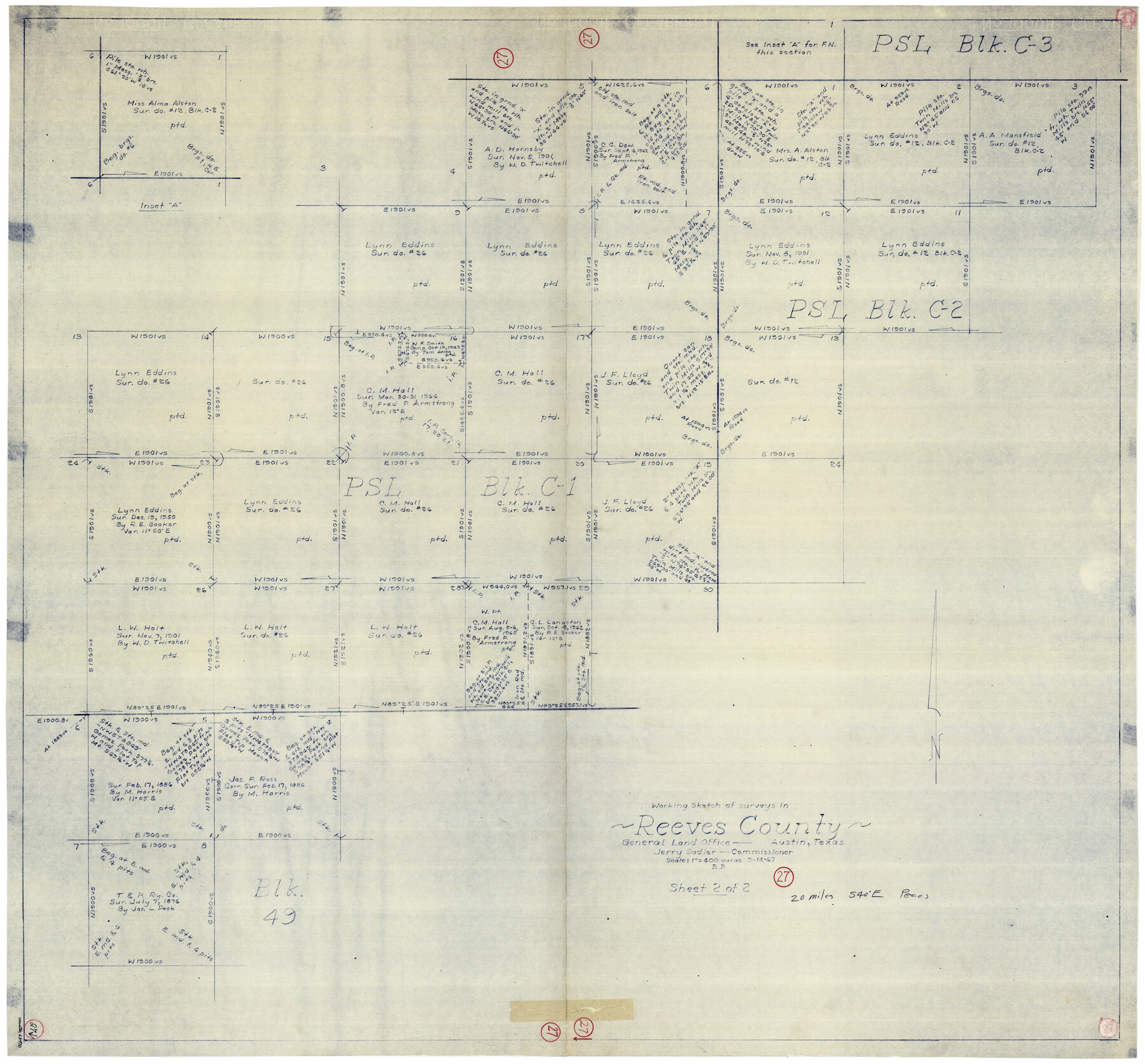
Reeves County Working Sketch 27
-
Map/Doc
63470
-
Collection
General Map Collection
-
Object Dates
7/14/1967 (Creation Date)
-
People and Organizations
Roy Buckholts (Draftsman)
-
Counties
Reeves
-
Subjects
Surveying Working Sketch
-
Height x Width
40.2 x 43.0 inches
102.1 x 109.2 cm
-
Scale
1" = 400 varas
Part of: General Map Collection

Sketch G Showing the Progress of the Survey in Section VII From 1849 to 1852

Print $20.00
- Digital $50.00
Sketch G Showing the Progress of the Survey in Section VII From 1849 to 1852
1852
Size 13.6 x 25.8 inches
Map/Doc 97219
Stonewall County Sketch File 19

Print $20.00
- Digital $50.00
Stonewall County Sketch File 19
Size 33.2 x 33.6 inches
Map/Doc 10392
Morris County Rolled Sketch 2A

Print $20.00
- Digital $50.00
Morris County Rolled Sketch 2A
Size 24.0 x 18.6 inches
Map/Doc 10235
Hutchinson County Rolled Sketch 43

Print $40.00
- Digital $50.00
Hutchinson County Rolled Sketch 43
1992
Size 40.6 x 49.9 inches
Map/Doc 6315
San Patricio County Rolled Sketch 7A

Print $20.00
- Digital $50.00
San Patricio County Rolled Sketch 7A
1870
Size 46.8 x 27.3 inches
Map/Doc 9884
Orange County Sketch File 11a

Print $4.00
- Digital $50.00
Orange County Sketch File 11a
1884
Size 6.1 x 6.1 inches
Map/Doc 33322
Andrews County Sketch File 20

Print $6.00
- Digital $50.00
Andrews County Sketch File 20
Size 11.2 x 8.7 inches
Map/Doc 12916
Red River County Working Sketch 63

Print $20.00
- Digital $50.00
Red River County Working Sketch 63
1973
Size 43.6 x 37.0 inches
Map/Doc 72046
Aransas County Sketch File 5

Print $4.00
- Digital $50.00
Aransas County Sketch File 5
1850
Size 12.1 x 7.9 inches
Map/Doc 13108
Jackson County Sketch File 6

Print $4.00
- Digital $50.00
Jackson County Sketch File 6
1897
Size 13.1 x 8.9 inches
Map/Doc 27632
Dimmit County Rolled Sketch 10

Print $20.00
- Digital $50.00
Dimmit County Rolled Sketch 10
1941
Size 29.2 x 32.1 inches
Map/Doc 5719
You may also like
Bandera County Rolled Sketch 8

Print $20.00
- Digital $50.00
Bandera County Rolled Sketch 8
Size 27.9 x 26.4 inches
Map/Doc 5119
Marion County Sketch File 11

Print $4.00
- Digital $50.00
Marion County Sketch File 11
1902
Size 11.2 x 8.6 inches
Map/Doc 30581
Cochran County Boundary File 7

Print $6.00
- Digital $50.00
Cochran County Boundary File 7
Size 14.0 x 9.1 inches
Map/Doc 51567

General Highway Map, Brazos County, Texas

Print $20.00
General Highway Map, Brazos County, Texas
1961
Size 24.9 x 18.3 inches
Map/Doc 79384
Carson County Sketch File 7

Print $20.00
- Digital $50.00
Carson County Sketch File 7
Size 26.7 x 15.0 inches
Map/Doc 11056
Childress County Rolled Sketch 8C

Print $20.00
- Digital $50.00
Childress County Rolled Sketch 8C
Size 23.5 x 21.0 inches
Map/Doc 5445
[Location Survey of the Southern Kansas Railway, Kiowa Extension from a point in Drake's Location, in Indian Territory 100 miles from south line of Kansas, continuing up Wolf Creek and South Canadian River to Cottonwood Creek in Hutchinson County]
![88845, [Location Survey of the Southern Kansas Railway, Kiowa Extension from a point in Drake's Location, in Indian Territory 100 miles from south line of Kansas, continuing up Wolf Creek and South Canadian River to Cottonwood Creek in Hutchinson County], General Map Collection](https://historictexasmaps.com/wmedia_w700/maps/88845.tif.jpg)
Print $20.00
- Digital $50.00
[Location Survey of the Southern Kansas Railway, Kiowa Extension from a point in Drake's Location, in Indian Territory 100 miles from south line of Kansas, continuing up Wolf Creek and South Canadian River to Cottonwood Creek in Hutchinson County]
1886
Size 37.5 x 36.0 inches
Map/Doc 88845
Map Showing Section Lines and Corporation Lines of the City of Lubbock

Print $20.00
- Digital $50.00
Map Showing Section Lines and Corporation Lines of the City of Lubbock
1921
Size 27.5 x 25.2 inches
Map/Doc 92749
Map No. 3 by W. D. Twichell

Print $20.00
- Digital $50.00
Map No. 3 by W. D. Twichell
Size 42.5 x 32.9 inches
Map/Doc 89710
The Republic County of Milam. Spring 1842

Print $20.00
The Republic County of Milam. Spring 1842
2020
Size 17.4 x 21.6 inches
Map/Doc 96232
Fannin County

Print $20.00
- Digital $50.00
Fannin County
1946
Size 44.0 x 38.6 inches
Map/Doc 95495