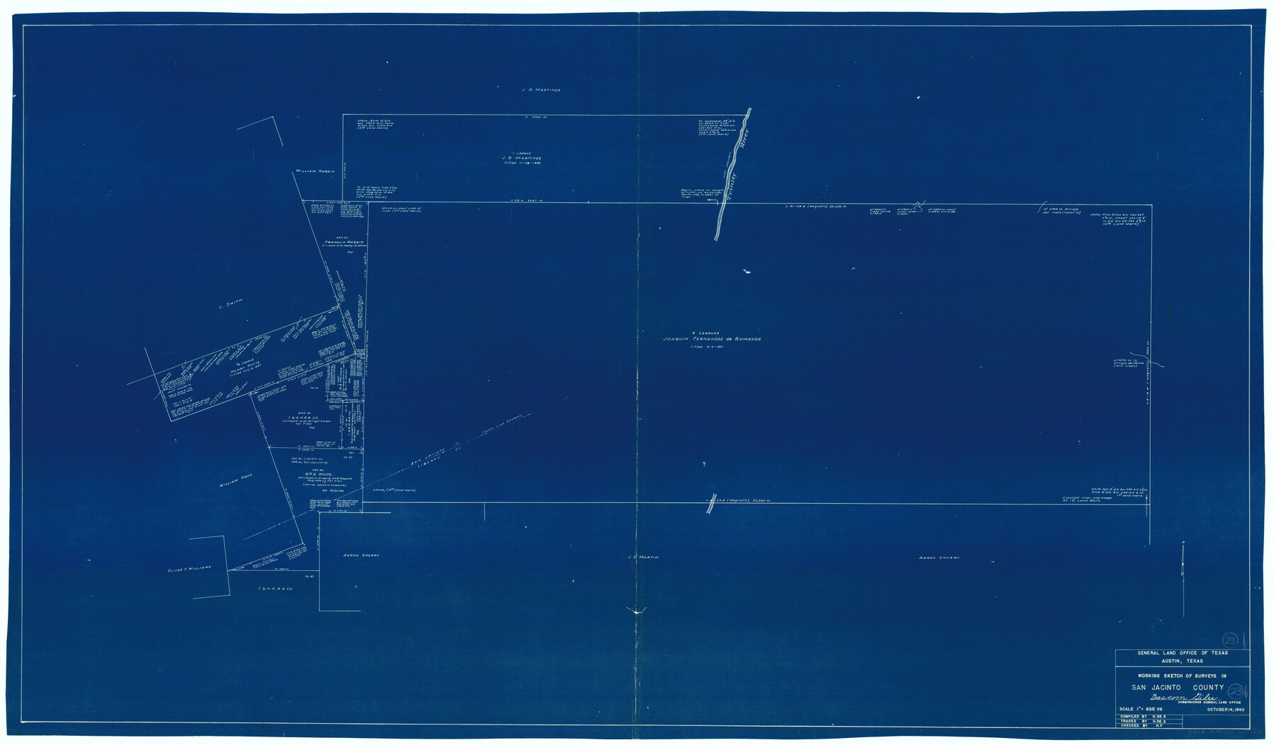
San Jacinto County Working Sketch 23
-
Map/Doc
63736
-
Collection
General Map Collection
-
Object Dates
10/14/1940 (Creation Date)
-
People and Organizations
Herbert de Synek (Draftsman)
-
Counties
San Jacinto
-
Subjects
Surveying Working Sketch
-
Height x Width
31.5 x 53.8 inches
80.0 x 136.7 cm
-
Scale
1" = 600 varas
Part of: General Map Collection

Orange County Rolled Sketch 22

Print $40.00
- Digital $50.00
Orange County Rolled Sketch 22
1950
Size 31.2 x 58.0 inches
Map/Doc 9647
Map of Darrington State Farm, Brazoria County, Texas

Print $20.00
- Digital $50.00
Map of Darrington State Farm, Brazoria County, Texas
Size 18.5 x 37.9 inches
Map/Doc 62985
Uvalde County Working Sketch 6

Print $20.00
- Digital $50.00
Uvalde County Working Sketch 6
1940
Size 37.8 x 38.9 inches
Map/Doc 72076
Maps of Gulf Intracoastal Waterway, Texas - Sabine River to the Rio Grande and connecting waterways including ship channels

Print $20.00
- Digital $50.00
Maps of Gulf Intracoastal Waterway, Texas - Sabine River to the Rio Grande and connecting waterways including ship channels
1966
Size 14.5 x 22.3 inches
Map/Doc 61936
Lipscomb County Boundary File 13

Print $4.00
- Digital $50.00
Lipscomb County Boundary File 13
Size 10.6 x 8.1 inches
Map/Doc 56353
Clay County Boundary File 5

Print $6.00
- Digital $50.00
Clay County Boundary File 5
Size 11.1 x 8.5 inches
Map/Doc 51373
Nueces County Rolled Sketch 68A

Print $165.00
- Digital $50.00
Nueces County Rolled Sketch 68A
1980
Size 9.8 x 15.0 inches
Map/Doc 47898
Stephens County Sketch File 16

Print $40.00
- Digital $50.00
Stephens County Sketch File 16
Size 38.2 x 72.1 inches
Map/Doc 10608
Freestone County Working Sketch 8

Print $40.00
- Digital $50.00
Freestone County Working Sketch 8
1960
Size 60.6 x 36.6 inches
Map/Doc 69250
McMullen County Working Sketch 31

Print $20.00
- Digital $50.00
McMullen County Working Sketch 31
1957
Size 39.9 x 25.9 inches
Map/Doc 70732
Winkler County Sketch File 3

Print $20.00
- Digital $50.00
Winkler County Sketch File 3
Size 38.6 x 33.8 inches
Map/Doc 10436
You may also like
Harris County Rolled Sketch 66

Print $40.00
- Digital $50.00
Harris County Rolled Sketch 66
1940
Size 36.7 x 51.4 inches
Map/Doc 9129
Real County Rolled Sketch 5

Print $20.00
- Digital $50.00
Real County Rolled Sketch 5
Size 26.2 x 23.7 inches
Map/Doc 7455
Crane County Working Sketch 25

Print $20.00
- Digital $50.00
Crane County Working Sketch 25
1969
Size 33.0 x 26.3 inches
Map/Doc 68302
Lamar County Working Sketch 5

Print $20.00
- Digital $50.00
Lamar County Working Sketch 5
1962
Size 21.5 x 23.6 inches
Map/Doc 70266
Flight Mission No. DQN-5K, Frame 38, Calhoun County

Print $20.00
- Digital $50.00
Flight Mission No. DQN-5K, Frame 38, Calhoun County
1953
Size 19.1 x 22.7 inches
Map/Doc 84386
Rusk County Sketch File 32

Print $20.00
Rusk County Sketch File 32
1949
Size 33.5 x 28.4 inches
Map/Doc 10596
Flight Mission No. DIX-6P, Frame 202, Aransas County

Print $20.00
- Digital $50.00
Flight Mission No. DIX-6P, Frame 202, Aransas County
1956
Size 19.2 x 22.7 inches
Map/Doc 83864
[Map of Val Verde County]
![4110, [Map of Val Verde County], General Map Collection](https://historictexasmaps.com/wmedia_w700/maps/4110-1.tif.jpg)
Print $20.00
- Digital $50.00
[Map of Val Verde County]
1931
Size 36.4 x 24.1 inches
Map/Doc 4110
Austin County Sketch File 4

Print $8.00
- Digital $50.00
Austin County Sketch File 4
1881
Size 12.9 x 8.3 inches
Map/Doc 13857
Galveston Bay and Approaches

Print $20.00
- Digital $50.00
Galveston Bay and Approaches
1938
Size 45.4 x 34.6 inches
Map/Doc 69875
Jasper County Working Sketch 25

Print $20.00
- Digital $50.00
Jasper County Working Sketch 25
1951
Size 21.6 x 32.3 inches
Map/Doc 66487
Gaines County Working Sketch 30

Print $20.00
- Digital $50.00
Gaines County Working Sketch 30
1990
Size 18.3 x 26.4 inches
Map/Doc 69330