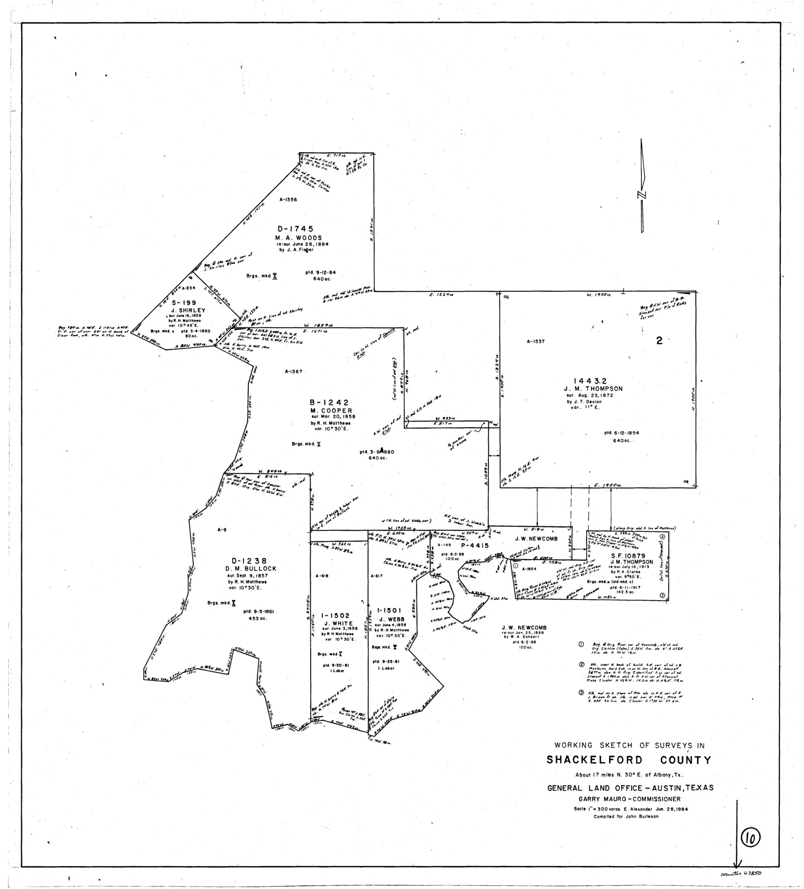
Shackelford County Working Sketch 10
-
Map/Doc
63850
-
Collection
General Map Collection
-
Object Dates
6/28/1984 (Creation Date)
-
People and Organizations
Earl Alexander (Draftsman)
-
Counties
Shackelford
-
Subjects
Surveying Working Sketch
-
Height x Width
28.8 x 26.1 inches
73.2 x 66.3 cm
-
Scale
1" = 300 varas
Part of: General Map Collection
Crockett County Working Sketch 58

Print $40.00
- Digital $50.00
Crockett County Working Sketch 58
1954
Size 24.3 x 54.4 inches
Map/Doc 68391
Cass County Working Sketch 15

Print $20.00
- Digital $50.00
Cass County Working Sketch 15
1957
Size 29.7 x 19.0 inches
Map/Doc 67918
America Settentrionale colle nuove scoperte fin all’anno 1688

Print $20.00
- Digital $50.00
America Settentrionale colle nuove scoperte fin all’anno 1688
1688
Size 29.7 x 37.5 inches
Map/Doc 93709
Young County Sketch File 9a

Print $4.00
- Digital $50.00
Young County Sketch File 9a
1875
Size 12.9 x 8.3 inches
Map/Doc 40866
Coast Chart No. 210 Aransas Pass and Corpus Christi Bay with the coast to latitude 27° 12' Texas

Print $20.00
- Digital $50.00
Coast Chart No. 210 Aransas Pass and Corpus Christi Bay with the coast to latitude 27° 12' Texas
1887
Size 27.3 x 18.2 inches
Map/Doc 72792
City of Austin, Texas - Use District Map

Print $20.00
- Digital $50.00
City of Austin, Texas - Use District Map
1943
Size 38.9 x 25.7 inches
Map/Doc 95705
Foard County Working Sketch 10

Print $20.00
- Digital $50.00
Foard County Working Sketch 10
1977
Size 32.0 x 43.7 inches
Map/Doc 69201
Presidio County Sketch File 5a

Print $4.00
- Digital $50.00
Presidio County Sketch File 5a
1872
Size 12.9 x 8.3 inches
Map/Doc 34435
Lubbock County Sketch File 11

Print $22.00
- Digital $50.00
Lubbock County Sketch File 11
1914
Size 11.2 x 8.8 inches
Map/Doc 30434
Brazos Santiago, Texas

Print $20.00
- Digital $50.00
Brazos Santiago, Texas
1867
Size 25.1 x 18.3 inches
Map/Doc 72988
Brazos Santiago, Texas

Print $20.00
- Digital $50.00
Brazos Santiago, Texas
1882
Size 18.3 x 26.0 inches
Map/Doc 72986
Val Verde County Working Sketch 70

Print $20.00
- Digital $50.00
Val Verde County Working Sketch 70
1966
Size 21.2 x 28.0 inches
Map/Doc 72205
You may also like
Flight Mission No. BRA-16M, Frame 147, Jefferson County

Print $20.00
- Digital $50.00
Flight Mission No. BRA-16M, Frame 147, Jefferson County
1953
Size 18.6 x 22.3 inches
Map/Doc 85753
Nueces County Sketch File 16

Print $6.00
- Digital $50.00
Nueces County Sketch File 16
1875
Size 15.5 x 10.7 inches
Map/Doc 32547
Taylor County Sketch File 16

Print $20.00
- Digital $50.00
Taylor County Sketch File 16
1883
Size 34.3 x 9.0 inches
Map/Doc 12409
Zapata County Sketch File 2

Print $20.00
- Digital $50.00
Zapata County Sketch File 2
1875
Size 24.3 x 32.8 inches
Map/Doc 12718
Lampasas County Working Sketch 7

Print $20.00
- Digital $50.00
Lampasas County Working Sketch 7
1951
Size 30.7 x 36.3 inches
Map/Doc 70284
English Field Notes of the Spanish Archives - Book 3

English Field Notes of the Spanish Archives - Book 3
1835
Map/Doc 96529
Flight Mission No. CGN-3P, Frame 142, San Patricio County

Print $20.00
- Digital $50.00
Flight Mission No. CGN-3P, Frame 142, San Patricio County
1956
Size 18.5 x 22.1 inches
Map/Doc 86986
The Republic County of Shelby. January 28, 1839

Print $20.00
The Republic County of Shelby. January 28, 1839
2020
Size 21.1 x 21.7 inches
Map/Doc 96281
Mitchell County Boundary File 1c

Print $12.00
- Digital $50.00
Mitchell County Boundary File 1c
Size 8.7 x 12.3 inches
Map/Doc 57361
Carson County Boundary File 5 and 5a

Print $50.00
- Digital $50.00
Carson County Boundary File 5 and 5a
Size 8.8 x 4.4 inches
Map/Doc 51134
The Republic County of Washington. Spring 1842

Print $20.00
The Republic County of Washington. Spring 1842
2020
Size 11.8 x 21.7 inches
Map/Doc 96308
Webb County Sketch File B2

Print $4.00
- Digital $50.00
Webb County Sketch File B2
1909
Size 13.9 x 8.1 inches
Map/Doc 39656