[Kansas City, Mexico & Orient] Located Line of the Panhandle and Gulf RY. Through Stand Lands, Public School and University, In Presidio County Texas, Right of Way 200 feet Wide
Z-2-67
-
Map/Doc
64269
-
Collection
General Map Collection
-
Object Dates
4/28/1904 (Creation Date)
7/7/1904 (File Date)
-
Counties
Presidio Brewster
-
Subjects
Railroads
-
Height x Width
15.6 x 70.3 inches
39.6 x 178.6 cm
-
Medium
blueprint/diazo
-
Scale
1"=2000'
-
Comments
See counter nos. 64268 and 64270 for other sheets of the map. See 64263 (PDF) for the documents/letter that accompanied the map.
-
Features
KCM&O
GH&SA
Part of: General Map Collection
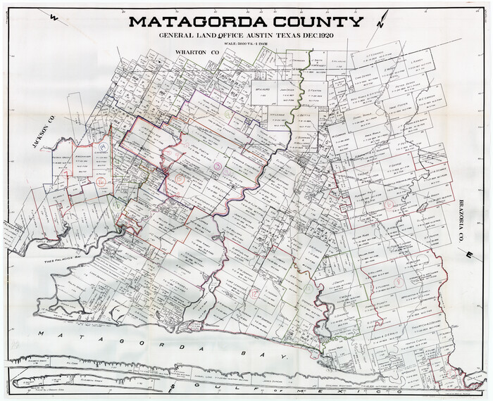
Matagorda County Working Sketch Graphic Index, Sheet 1 (Sketches 1 to 16)

Print $40.00
- Digital $50.00
Matagorda County Working Sketch Graphic Index, Sheet 1 (Sketches 1 to 16)
1920
Size 40.0 x 48.8 inches
Map/Doc 76633
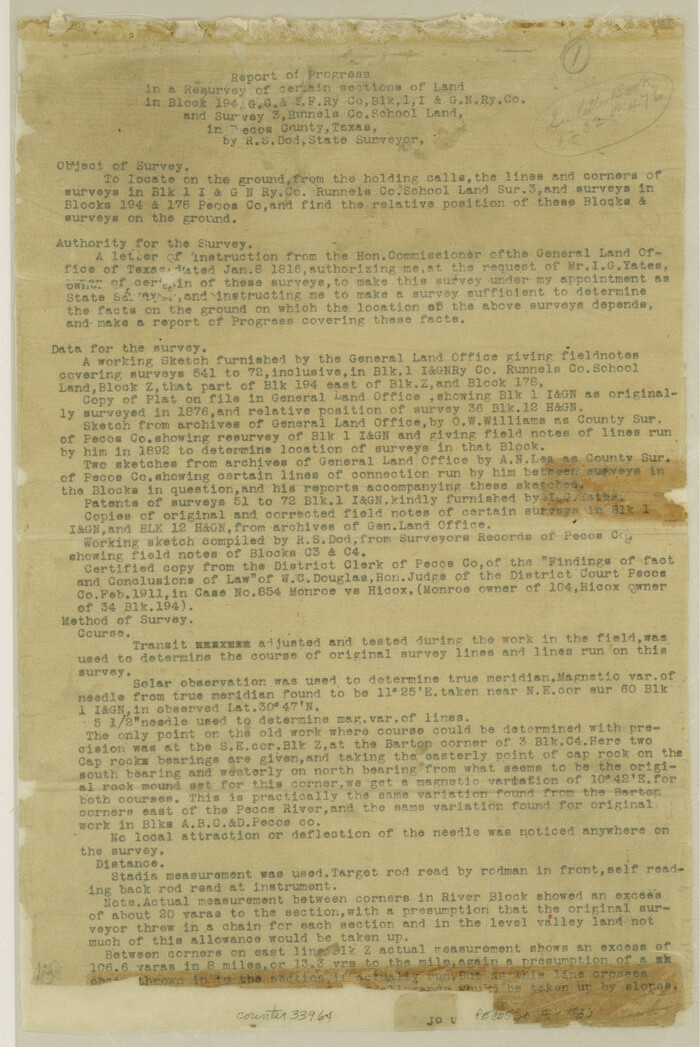
Pecos County Sketch File 86

Print $22.00
- Digital $50.00
Pecos County Sketch File 86
1917
Size 13.4 x 9.0 inches
Map/Doc 33964
Kinney County Working Sketch 10

Print $20.00
- Digital $50.00
Kinney County Working Sketch 10
1933
Size 23.1 x 18.4 inches
Map/Doc 70192
Ward County Rolled Sketch 9

Print $40.00
- Digital $50.00
Ward County Rolled Sketch 9
1936
Size 51.5 x 41.9 inches
Map/Doc 10105
Somervell County Working Sketch 4

Print $20.00
- Digital $50.00
Somervell County Working Sketch 4
1975
Size 38.3 x 29.7 inches
Map/Doc 63908
Zapata County Rolled Sketch 10

Print $20.00
- Digital $50.00
Zapata County Rolled Sketch 10
1912
Size 25.4 x 26.6 inches
Map/Doc 8311
[Sketch for Mineral Application 26501 - Sabine River, T. A. Oldhausen]
![2832, [Sketch for Mineral Application 26501 - Sabine River, T. A. Oldhausen], General Map Collection](https://historictexasmaps.com/wmedia_w700/maps/2832.tif.jpg)
![2832, [Sketch for Mineral Application 26501 - Sabine River, T. A. Oldhausen], General Map Collection](https://historictexasmaps.com/wmedia_w700/maps/2832.tif.jpg)
Print $20.00
- Digital $50.00
[Sketch for Mineral Application 26501 - Sabine River, T. A. Oldhausen]
1931
Size 24.0 x 36.0 inches
Map/Doc 2832
Presidio County Rolled Sketch 93

Print $20.00
- Digital $50.00
Presidio County Rolled Sketch 93
Size 35.5 x 31.1 inches
Map/Doc 7378
Hardeman County Sketch File A2


Print $20.00
- Digital $50.00
Hardeman County Sketch File A2
Size 28.5 x 17.3 inches
Map/Doc 11631
Jefferson County Sketch File 51

Print $10.00
- Digital $50.00
Jefferson County Sketch File 51
Size 10.0 x 6.7 inches
Map/Doc 28249
Galveston County Sketch File 52


Print $27.00
- Digital $50.00
Galveston County Sketch File 52
1915
Size 10.1 x 12.3 inches
Map/Doc 23516
You may also like
Travis County Boundary File 29


Print $4.00
- Digital $50.00
Travis County Boundary File 29
Size 13.2 x 8.4 inches
Map/Doc 59467
Presidio County Working Sketch 29

Print $20.00
- Digital $50.00
Presidio County Working Sketch 29
1946
Size 40.0 x 36.6 inches
Map/Doc 71705
San Augustine County Sketch File 7


Print $4.00
San Augustine County Sketch File 7
1858
Size 7.0 x 8.2 inches
Map/Doc 35646
Kaufman County Working Sketch 5

Print $20.00
- Digital $50.00
Kaufman County Working Sketch 5
1922
Size 31.8 x 46.0 inches
Map/Doc 66668
General Highway Map, Sabine County, Texas


Print $20.00
General Highway Map, Sabine County, Texas
1940
Size 24.9 x 18.4 inches
Map/Doc 79234
Flight Mission No. DQO-3K, Frame 82, Galveston County


Print $20.00
- Digital $50.00
Flight Mission No. DQO-3K, Frame 82, Galveston County
1952
Size 18.7 x 22.5 inches
Map/Doc 85087
Dimmit County Sketch File 43

Print $20.00
- Digital $50.00
Dimmit County Sketch File 43
1905
Size 22.1 x 19.2 inches
Map/Doc 11353
General Highway Map, Lampasas County, Texas


Print $20.00
General Highway Map, Lampasas County, Texas
1961
Size 18.2 x 24.7 inches
Map/Doc 79563
Culberson County Sketch File 44


Print $57.00
- Digital $50.00
Culberson County Sketch File 44
1968
Size 11.4 x 8.9 inches
Map/Doc 20331
English Field Notes of the Spanish Archives - Book 2


English Field Notes of the Spanish Archives - Book 2
1835
Map/Doc 96528
Working Sketch in Cottle, Foard & Hardeman Counties


Print $20.00
- Digital $50.00
Working Sketch in Cottle, Foard & Hardeman Counties
1917
Size 26.9 x 28.0 inches
Map/Doc 4485
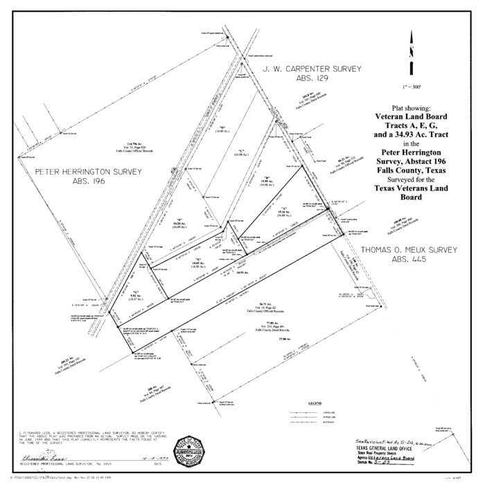
Falls County State Real Property Sketch 1

Print $40.00
- Digital $50.00
Falls County State Real Property Sketch 1
1999
Size 23.6 x 23.5 inches
Map/Doc 61669
![64269, [Kansas City, Mexico & Orient] Located Line of the Panhandle and Gulf RY. Through Stand Lands, Public School and University, In Presidio County Texas, Right of Way 200 feet Wide, General Map Collection](https://historictexasmaps.com/wmedia_w1800h1800/maps/64269-1.tif.jpg)
