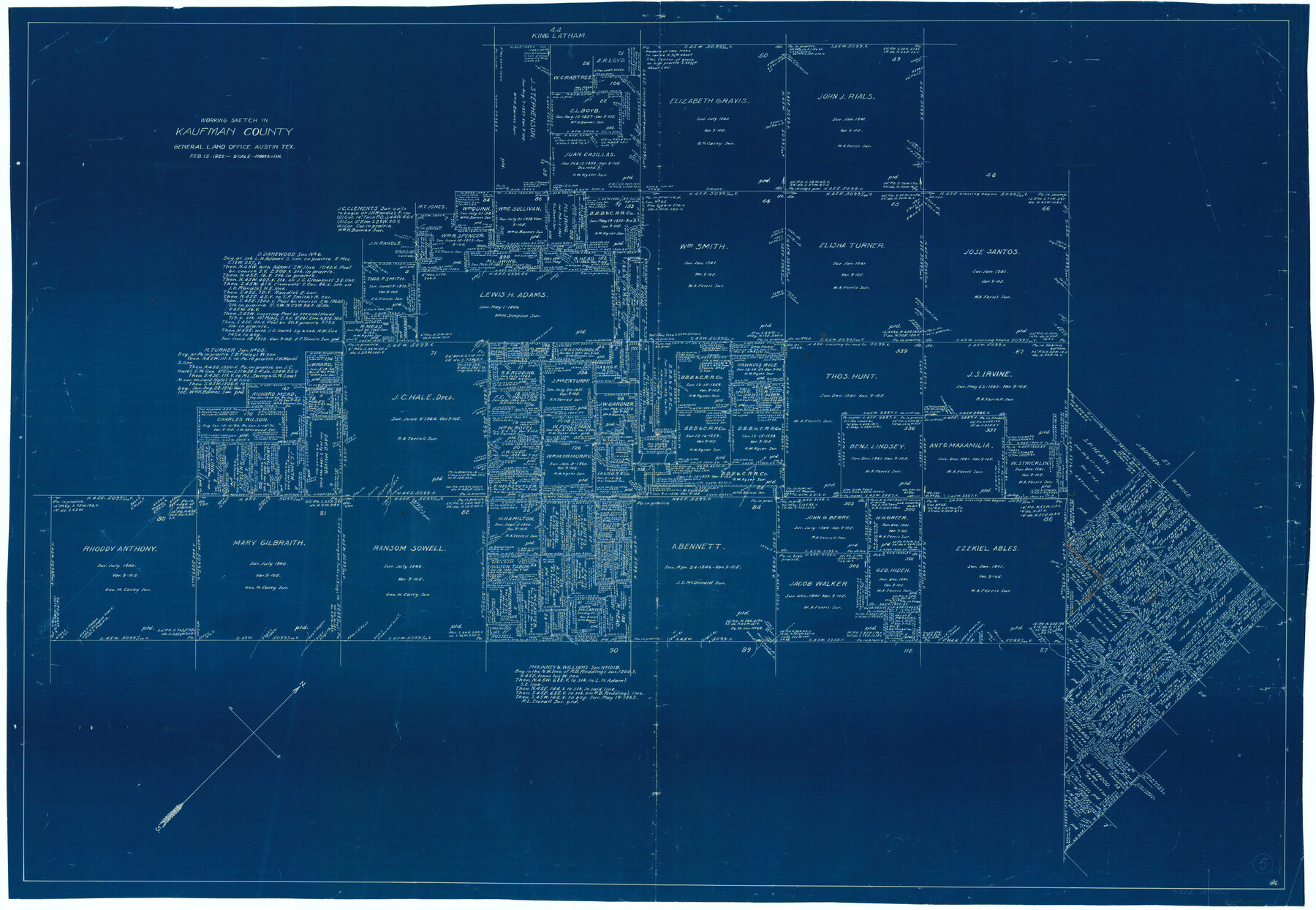
Kaufman County Working Sketch 5
-
Map/Doc
66668
-
Collection
General Map Collection
-
Object Dates
2/15/1922 (Creation Date)
-
Counties
Kaufman
-
Subjects
Surveying Working Sketch
-
Height x Width
31.8 x 46.0 inches
80.8 x 116.8 cm
-
Scale
1" = 1000 varas
Part of: General Map Collection
Map of Jack County

Print $20.00
- Digital $50.00
Map of Jack County
1874
Size 20.7 x 17.6 inches
Map/Doc 3704
Crockett County Working Sketch 66

Print $40.00
- Digital $50.00
Crockett County Working Sketch 66
1959
Size 62.7 x 44.0 inches
Map/Doc 68399
Reagan County Rolled Sketch 8

Print $20.00
- Digital $50.00
Reagan County Rolled Sketch 8
Size 30.2 x 26.7 inches
Map/Doc 7436
Loving County

Print $20.00
- Digital $50.00
Loving County
1932
Size 35.0 x 45.6 inches
Map/Doc 73225
Crockett County Rolled Sketch P1

Print $82.00
- Digital $50.00
Crockett County Rolled Sketch P1
1927
Size 10.3 x 15.9 inches
Map/Doc 44220
Donley County Sketch File 28

Print $40.00
- Digital $50.00
Donley County Sketch File 28
Size 25.7 x 9.1 inches
Map/Doc 21266
Blanco County Working Sketch 16

Print $20.00
- Digital $50.00
Blanco County Working Sketch 16
1951
Size 22.2 x 19.5 inches
Map/Doc 67376
Menard County Sketch File 30

Print $4.00
- Digital $50.00
Menard County Sketch File 30
1977
Size 14.3 x 8.6 inches
Map/Doc 31571
Fisher County Working Sketch 12

Print $20.00
- Digital $50.00
Fisher County Working Sketch 12
1956
Size 25.2 x 23.2 inches
Map/Doc 69146
Reconnaissance for Triangulation along the Rio Grande from El Paso to the Gulf of Mexico

Print $20.00
- Digital $50.00
Reconnaissance for Triangulation along the Rio Grande from El Paso to the Gulf of Mexico
Size 16.9 x 22.6 inches
Map/Doc 96558
Potter County Boundary File 3d

Print $12.00
- Digital $50.00
Potter County Boundary File 3d
Size 7.9 x 5.8 inches
Map/Doc 57987
San Jacinto County Sketch File 3

Print $4.00
San Jacinto County Sketch File 3
1857
Size 10.3 x 8.1 inches
Map/Doc 35698
You may also like
Sutton County Working Sketch 16

Print $40.00
- Digital $50.00
Sutton County Working Sketch 16
1972
Size 30.9 x 67.6 inches
Map/Doc 62359
Pecos County Sketch File 111

Print $18.00
- Digital $50.00
Pecos County Sketch File 111
Size 13.3 x 8.8 inches
Map/Doc 34052
Travis County Sketch File 17

Print $6.00
- Digital $50.00
Travis County Sketch File 17
Size 8.4 x 7.8 inches
Map/Doc 38314
Motley County Working Sketch 10

Print $20.00
- Digital $50.00
Motley County Working Sketch 10
1984
Size 33.1 x 29.0 inches
Map/Doc 71215
Mosaic composed of aerial photographs - Galveston, Tex.

Print $20.00
- Digital $50.00
Mosaic composed of aerial photographs - Galveston, Tex.
1923
Size 15.3 x 33.3 inches
Map/Doc 97160
Crockett County Sketch File 88

Print $3.00
- Digital $50.00
Crockett County Sketch File 88
1958
Size 19.3 x 15.8 inches
Map/Doc 11237
Lamb County Rolled Sketch 9

Print $20.00
- Digital $50.00
Lamb County Rolled Sketch 9
Size 44.7 x 27.9 inches
Map/Doc 9417
No. 2 Chart of Corpus Christi Pass, Texas

Print $20.00
- Digital $50.00
No. 2 Chart of Corpus Christi Pass, Texas
1878
Size 18.3 x 27.4 inches
Map/Doc 73020
Floyd County Sketch File 23

Print $8.00
- Digital $50.00
Floyd County Sketch File 23
1914
Size 11.6 x 9.0 inches
Map/Doc 22776
Hudspeth County Working Sketch 62

Print $20.00
- Digital $50.00
Hudspeth County Working Sketch 62
1993
Size 23.9 x 32.4 inches
Map/Doc 66347
Index for Texas Railroad ROW & track maps available on microfilm at THD & Archives and Records

Print $2.00
- Digital $50.00
Index for Texas Railroad ROW & track maps available on microfilm at THD & Archives and Records
1977
Size 11.1 x 8.9 inches
Map/Doc 60755
Brewster County Rolled Sketch 60

Print $40.00
- Digital $50.00
Brewster County Rolled Sketch 60
Size 36.7 x 50.8 inches
Map/Doc 9200