[St. Louis & Southwestern]
Z-2-70
-
Map/Doc
64280
-
Collection
General Map Collection
-
Counties
Franklin
-
Subjects
Railroads
-
Height x Width
20.3 x 27.9 inches
51.6 x 70.9 cm
-
Medium
blueprint/diazo
-
Comments
See counter nos. 64276 through 64281 for other sheets of the map.
-
Features
SLS
Part of: General Map Collection
Wilbarger County Sketch File 9
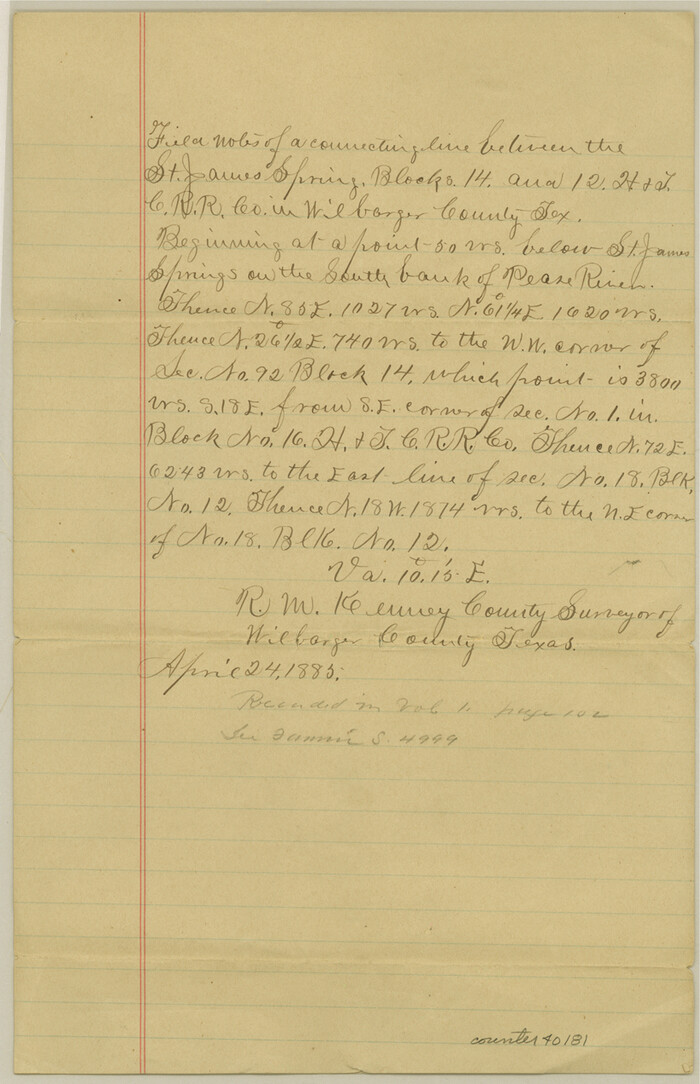

Print $4.00
- Digital $50.00
Wilbarger County Sketch File 9
1885
Size 12.7 x 8.2 inches
Map/Doc 40181
Kendall County Working Sketch 27


Print $20.00
- Digital $50.00
Kendall County Working Sketch 27
1994
Size 30.8 x 42.6 inches
Map/Doc 66699
Flight Mission No. CRC-1R, Frame 37, Chambers County
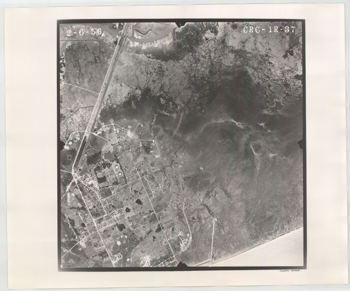

Print $20.00
- Digital $50.00
Flight Mission No. CRC-1R, Frame 37, Chambers County
1956
Size 18.7 x 22.5 inches
Map/Doc 84705
Roberts County


Print $20.00
- Digital $50.00
Roberts County
1884
Size 20.3 x 18.2 inches
Map/Doc 3992
Concho County Rolled Sketch 18


Print $20.00
- Digital $50.00
Concho County Rolled Sketch 18
1955
Size 11.4 x 18.3 inches
Map/Doc 5553
Presidio County Working Sketch 32
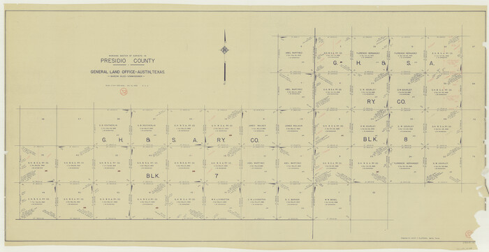

Print $40.00
- Digital $50.00
Presidio County Working Sketch 32
1946
Size 26.1 x 50.6 inches
Map/Doc 71709
Travis County Appraisal District Plat Map 2_0502
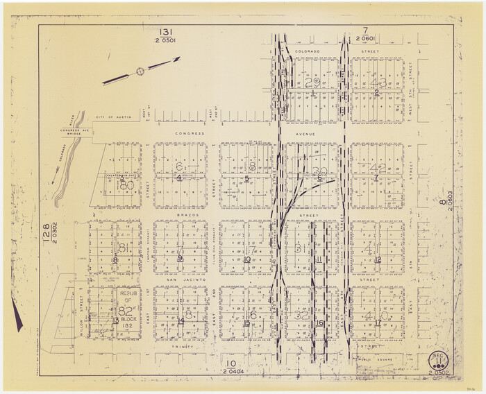

Print $20.00
- Digital $50.00
Travis County Appraisal District Plat Map 2_0502
Size 21.4 x 26.4 inches
Map/Doc 94236
Stephens County Working Sketch 11


Print $20.00
- Digital $50.00
Stephens County Working Sketch 11
1921
Size 21.0 x 16.5 inches
Map/Doc 63954
Austin County Sketch File 4a


Print $8.00
- Digital $50.00
Austin County Sketch File 4a
1881
Size 6.5 x 4.9 inches
Map/Doc 13861
Duval County Sketch File 9


Print $4.00
- Digital $50.00
Duval County Sketch File 9
1875
Size 10.9 x 8.7 inches
Map/Doc 21304
Flight Mission No. CRE-2R, Frame 159, Jackson County
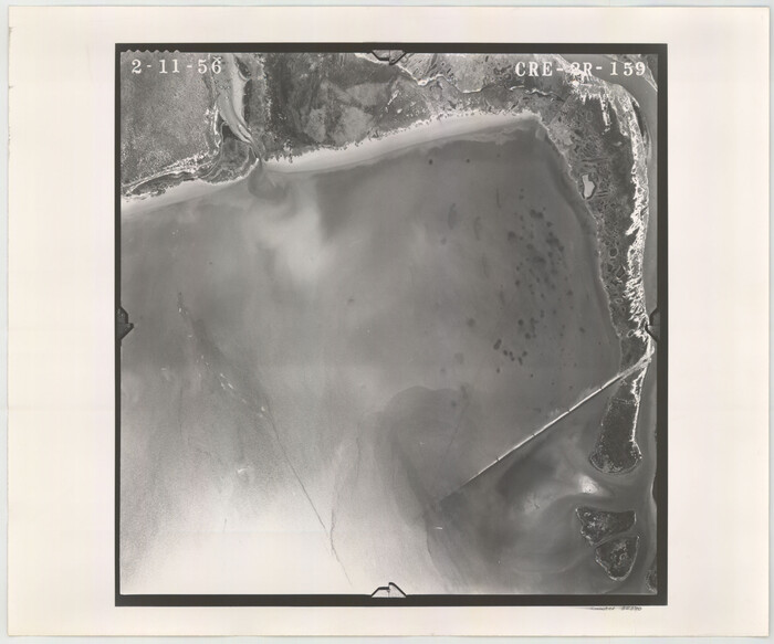

Print $20.00
- Digital $50.00
Flight Mission No. CRE-2R, Frame 159, Jackson County
1956
Size 18.5 x 22.2 inches
Map/Doc 85370
You may also like
La Salle County Working Sketch 33
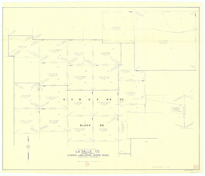

Print $20.00
- Digital $50.00
La Salle County Working Sketch 33
1956
Size 33.0 x 38.3 inches
Map/Doc 70334
Sabine River, West Extension Toll Bridge Sheet
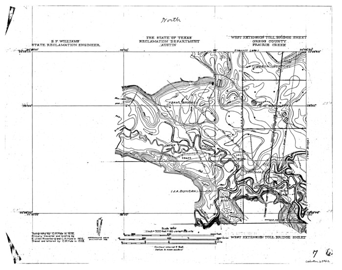

Print $4.00
- Digital $50.00
Sabine River, West Extension Toll Bridge Sheet
1933
Size 15.2 x 19.3 inches
Map/Doc 65142
Hemphill County Working Sketch 6
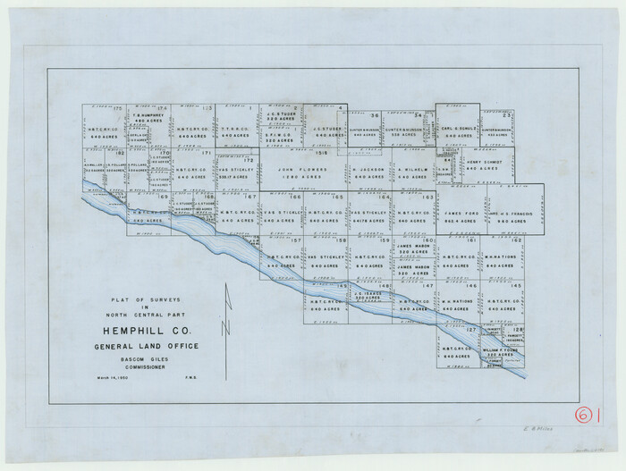

Print $20.00
- Digital $50.00
Hemphill County Working Sketch 6
1950
Size 20.3 x 27.0 inches
Map/Doc 66101
Robertson Co.
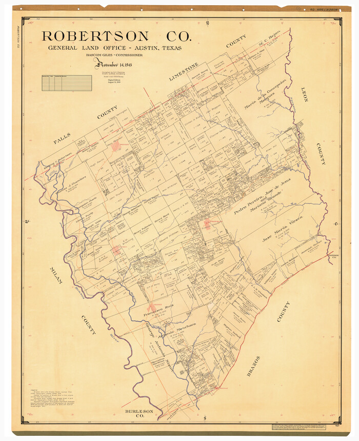

Print $40.00
- Digital $50.00
Robertson Co.
1945
Size 49.5 x 40.3 inches
Map/Doc 95627
McMullen County Working Sketch 9
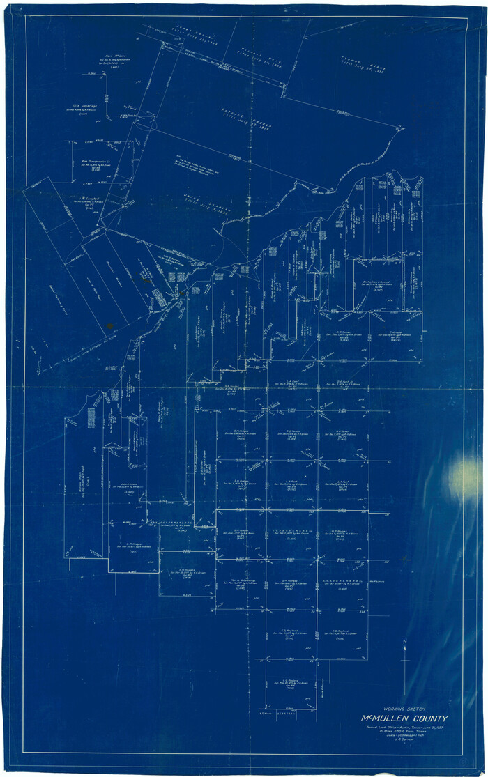

Print $40.00
- Digital $50.00
McMullen County Working Sketch 9
1937
Size 58.8 x 36.9 inches
Map/Doc 70710
Harris County Rolled Sketch 88
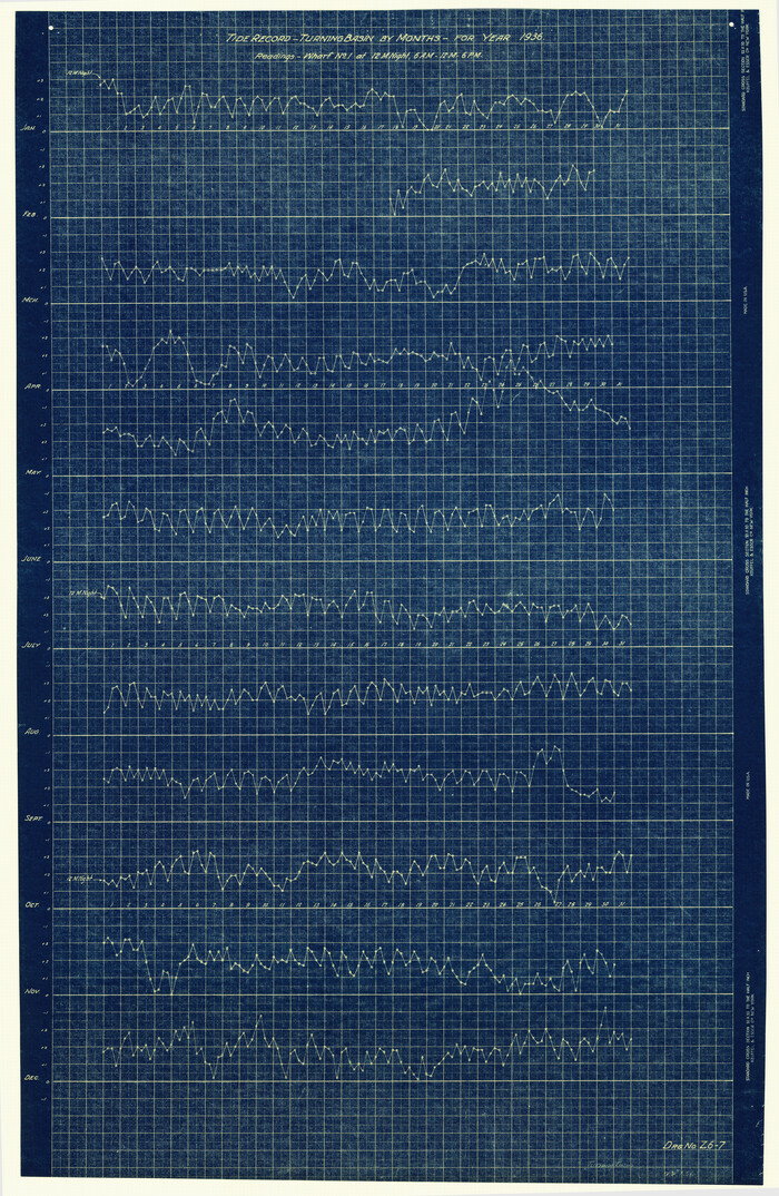

Print $20.00
- Digital $50.00
Harris County Rolled Sketch 88
1936
Size 35.0 x 22.8 inches
Map/Doc 6125
Dawson County Working Sketch 5
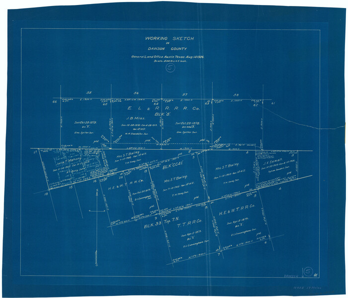

Print $20.00
- Digital $50.00
Dawson County Working Sketch 5
1926
Size 22.3 x 26.1 inches
Map/Doc 68548
Port Facilities at Galveston, Tex.


Print $20.00
- Digital $50.00
Port Facilities at Galveston, Tex.
1924
Size 14.1 x 37.5 inches
Map/Doc 97173
Gulf of Mexico
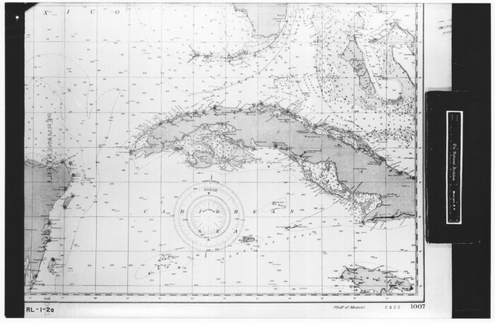

Print $20.00
- Digital $50.00
Gulf of Mexico
1900
Size 18.4 x 28.1 inches
Map/Doc 72649
Map Showing Corrections of Capitol Leagues in Conflict in Oldham Co.


Print $40.00
- Digital $50.00
Map Showing Corrections of Capitol Leagues in Conflict in Oldham Co.
1886
Size 52.5 x 31.3 inches
Map/Doc 89800
Kent County Sketch File 15
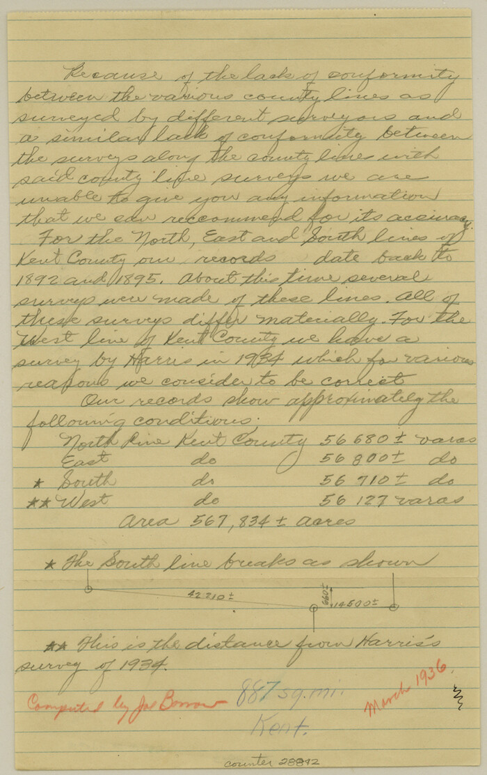

Print $8.00
- Digital $50.00
Kent County Sketch File 15
1936
Size 11.4 x 7.2 inches
Map/Doc 28842
Throckmorton County Working Sketch 4
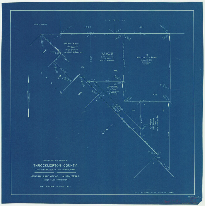

Print $20.00
- Digital $50.00
Throckmorton County Working Sketch 4
1949
Size 25.0 x 24.9 inches
Map/Doc 62113
![64280, [St. Louis & Southwestern], General Map Collection](https://historictexasmaps.com/wmedia_w1800h1800/maps/64280.tif.jpg)
