[Galveston, Harrisburg & San Antonio Railway]
Between "High Bridge" and Langtry
Z-2-102
-
Map/Doc
64403
-
Collection
General Map Collection
-
Object Dates
1892 (Creation Date)
-
Counties
Val Verde
-
Subjects
Railroads
-
Height x Width
13.7 x 33.7 inches
34.8 x 85.6 cm
-
Medium
blueprint/diazo
-
Comments
Between "High Bridge" and Langtry. See counter nos. 64402 through 64403 and 64405 through 64408 for other sheets of map.
-
Features
GH&SA
Shumla
Part of: General Map Collection
Real County Sketch File 17
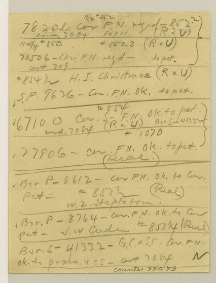

Print $6.00
- Digital $50.00
Real County Sketch File 17
1942
Size 5.6 x 4.3 inches
Map/Doc 35073
Current Miscellaneous File 4


Print $8.00
- Digital $50.00
Current Miscellaneous File 4
1947
Size 11.5 x 9.1 inches
Map/Doc 73723
Galveston County Rolled Sketch 45A


Print $20.00
- Digital $50.00
Galveston County Rolled Sketch 45A
1995
Size 19.6 x 29.9 inches
Map/Doc 5979
Right of Way and Track Map, Galveston, Harrisburg & San Antonio Ry. operated by the T. & N. O. R.R. Co., Victoria Division, Rosenberg to Beeville


Print $40.00
- Digital $50.00
Right of Way and Track Map, Galveston, Harrisburg & San Antonio Ry. operated by the T. & N. O. R.R. Co., Victoria Division, Rosenberg to Beeville
1918
Size 24.8 x 57.1 inches
Map/Doc 76159
Flight Mission No. CUG-3P, Frame 30, Kleberg County
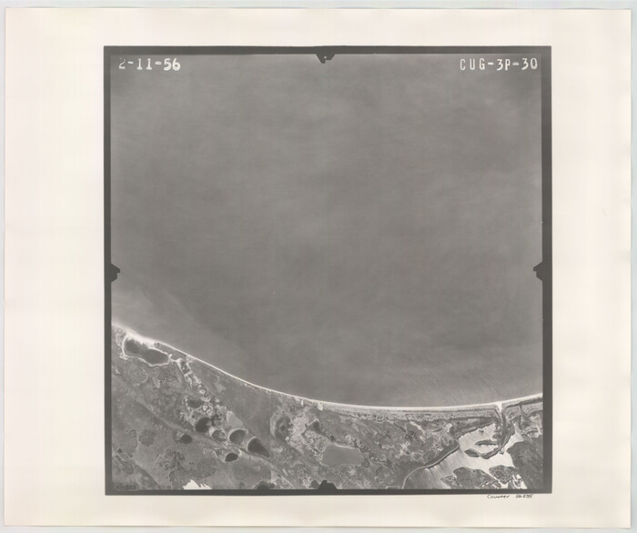

Print $20.00
- Digital $50.00
Flight Mission No. CUG-3P, Frame 30, Kleberg County
1956
Size 18.5 x 22.2 inches
Map/Doc 86235
Tarrant County Boundary File 2a
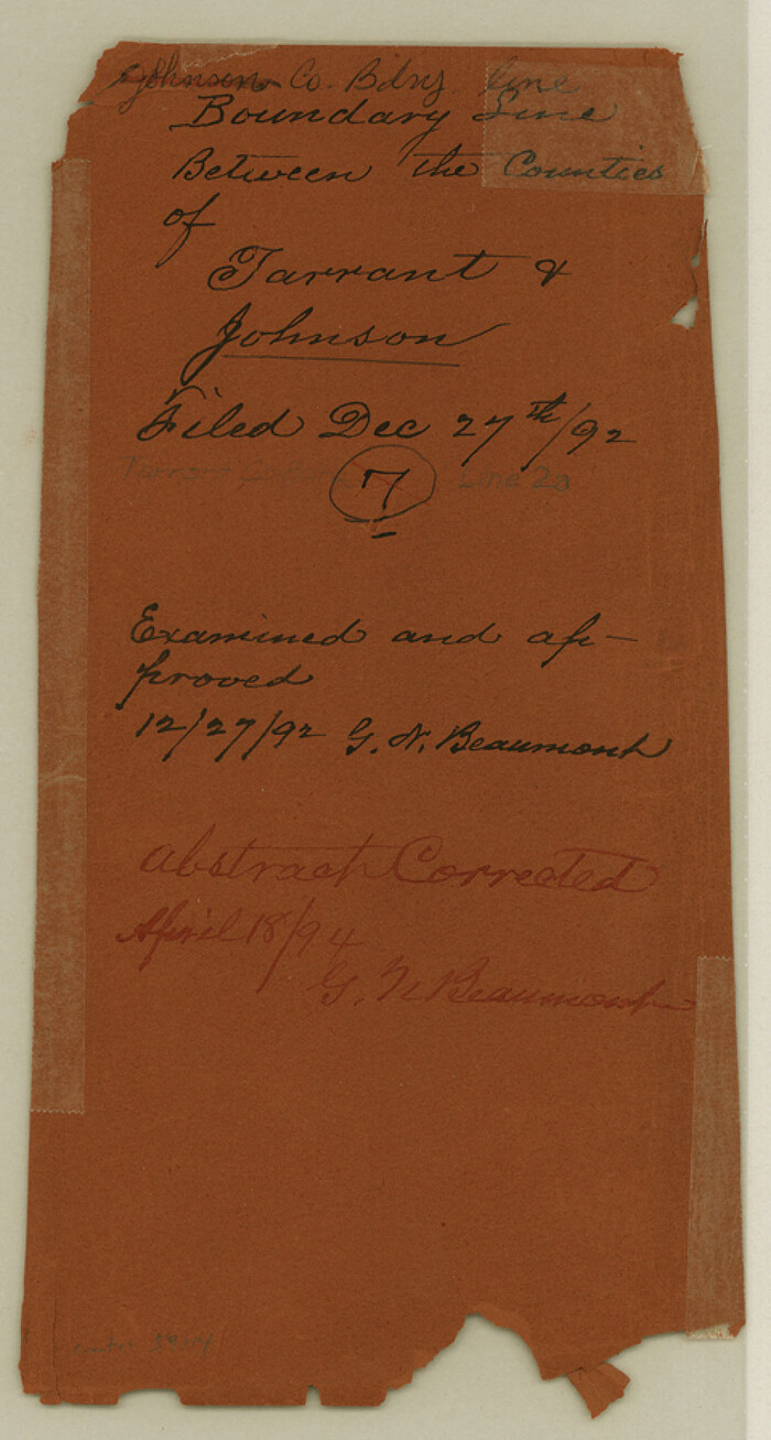

Print $62.00
- Digital $50.00
Tarrant County Boundary File 2a
Size 9.0 x 4.8 inches
Map/Doc 59114
Flight Mission No. DQN-2K, Frame 49, Calhoun County


Print $20.00
- Digital $50.00
Flight Mission No. DQN-2K, Frame 49, Calhoun County
1953
Size 17.3 x 18.8 inches
Map/Doc 84254
Lynn County Rolled Sketch WR


Print $20.00
- Digital $50.00
Lynn County Rolled Sketch WR
Size 14.7 x 23.8 inches
Map/Doc 6656
Val Verde County Working Sketch 119
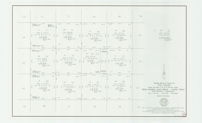

Print $40.00
- Digital $50.00
Val Verde County Working Sketch 119
2005
Size 30.5 x 50.0 inches
Map/Doc 83588
Lindner Subdivision out of the Baker Subdivision of the Cucharia Tract being Lots 11 and 14, San Salvador del Tule Grant Hidalgo Co. Texas and also showing the Ehlert-Krausse Sub. and the Townsite of Alsonia
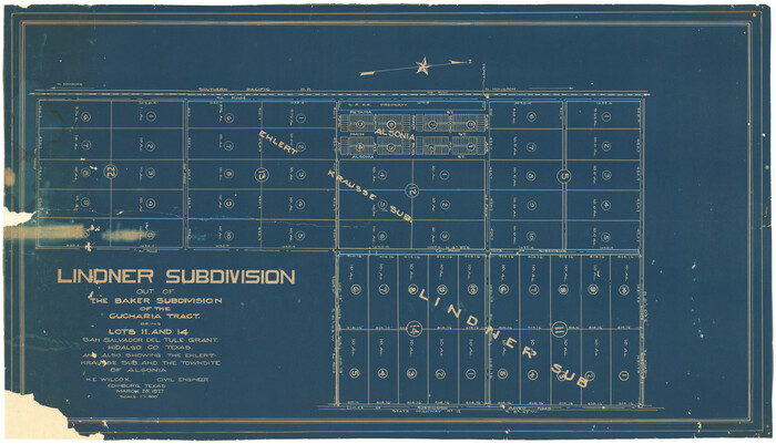

Print $20.00
- Digital $50.00
Lindner Subdivision out of the Baker Subdivision of the Cucharia Tract being Lots 11 and 14, San Salvador del Tule Grant Hidalgo Co. Texas and also showing the Ehlert-Krausse Sub. and the Townsite of Alsonia
1927
Size 22.3 x 35.3 inches
Map/Doc 77093
Denton County Sketch File 13
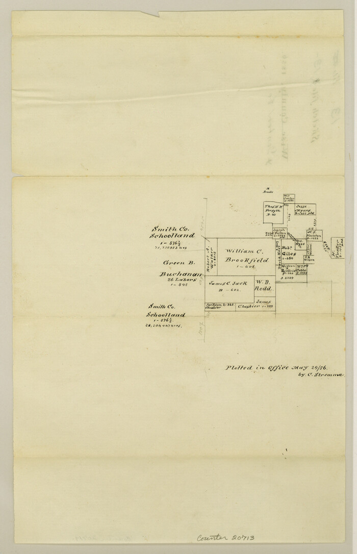

Print $12.00
- Digital $50.00
Denton County Sketch File 13
1856
Size 12.3 x 7.9 inches
Map/Doc 20713
You may also like
Flight Mission No. DQO-7K, Frame 98, Galveston County


Print $20.00
- Digital $50.00
Flight Mission No. DQO-7K, Frame 98, Galveston County
1952
Size 18.8 x 22.4 inches
Map/Doc 85113
Rains County Working Sketch 10
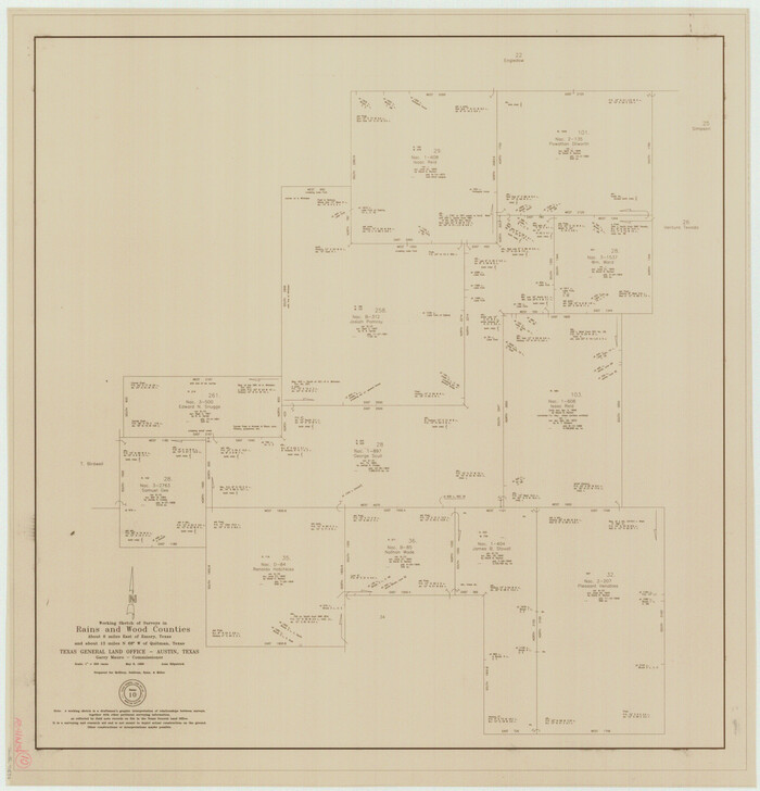

Print $20.00
- Digital $50.00
Rains County Working Sketch 10
1998
Size 36.1 x 34.7 inches
Map/Doc 71836
Clay County Boundary File 15
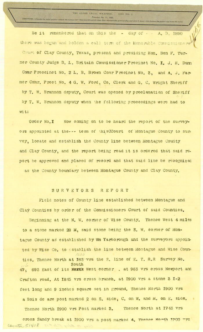

Print $8.00
- Digital $50.00
Clay County Boundary File 15
Size 13.3 x 8.2 inches
Map/Doc 51418
Trinity River, Talty Sheet/Big Brushy Creek
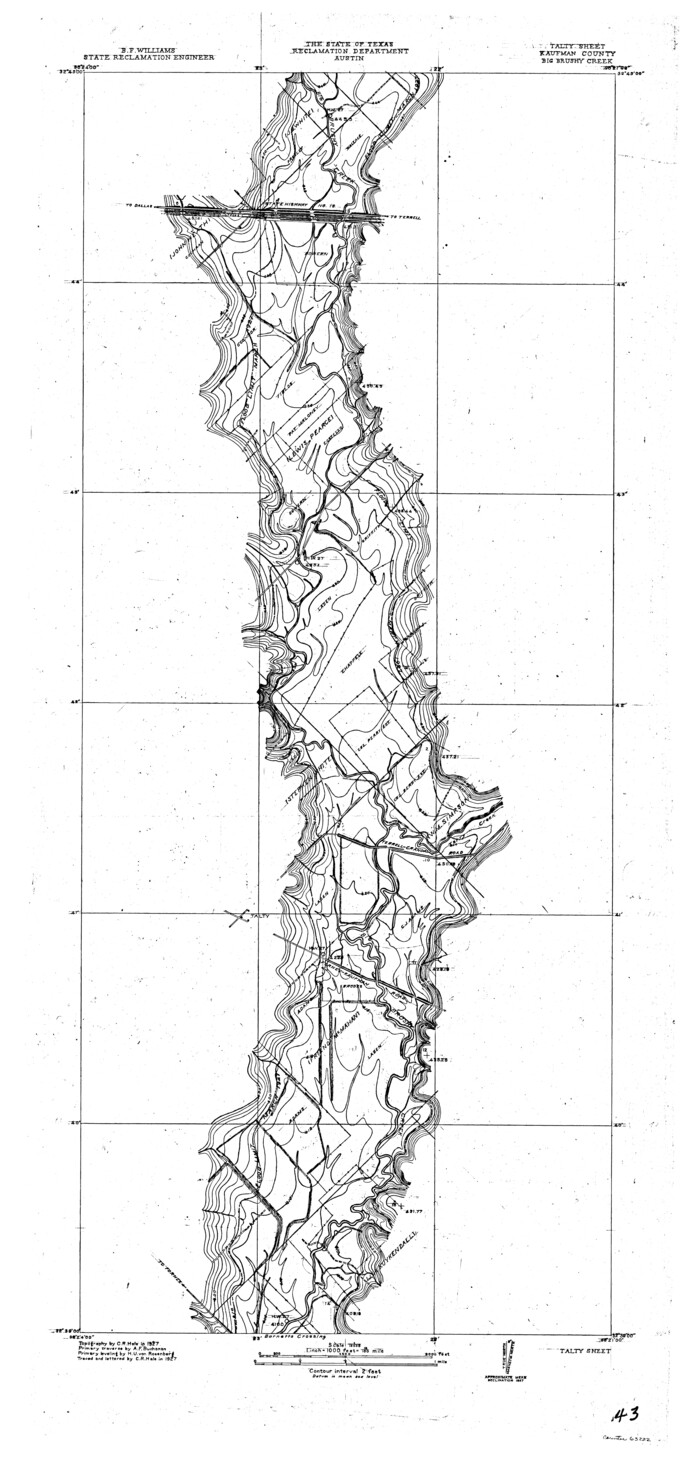

Print $20.00
- Digital $50.00
Trinity River, Talty Sheet/Big Brushy Creek
1927
Size 42.2 x 20.3 inches
Map/Doc 65222
Clay County Boundary File 16


Print $56.00
- Digital $50.00
Clay County Boundary File 16
Size 9.1 x 3.7 inches
Map/Doc 51422
Flight Mission No. CRK-3P, Frame 68, Refugio County


Print $20.00
- Digital $50.00
Flight Mission No. CRK-3P, Frame 68, Refugio County
1956
Size 18.7 x 22.5 inches
Map/Doc 86910
Flight Mission No. BRE-2P, Frame 133, Nueces County
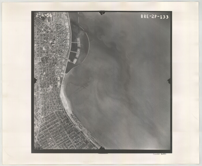

Print $20.00
- Digital $50.00
Flight Mission No. BRE-2P, Frame 133, Nueces County
1956
Size 18.5 x 22.5 inches
Map/Doc 86806
Martin County Working Sketch 12
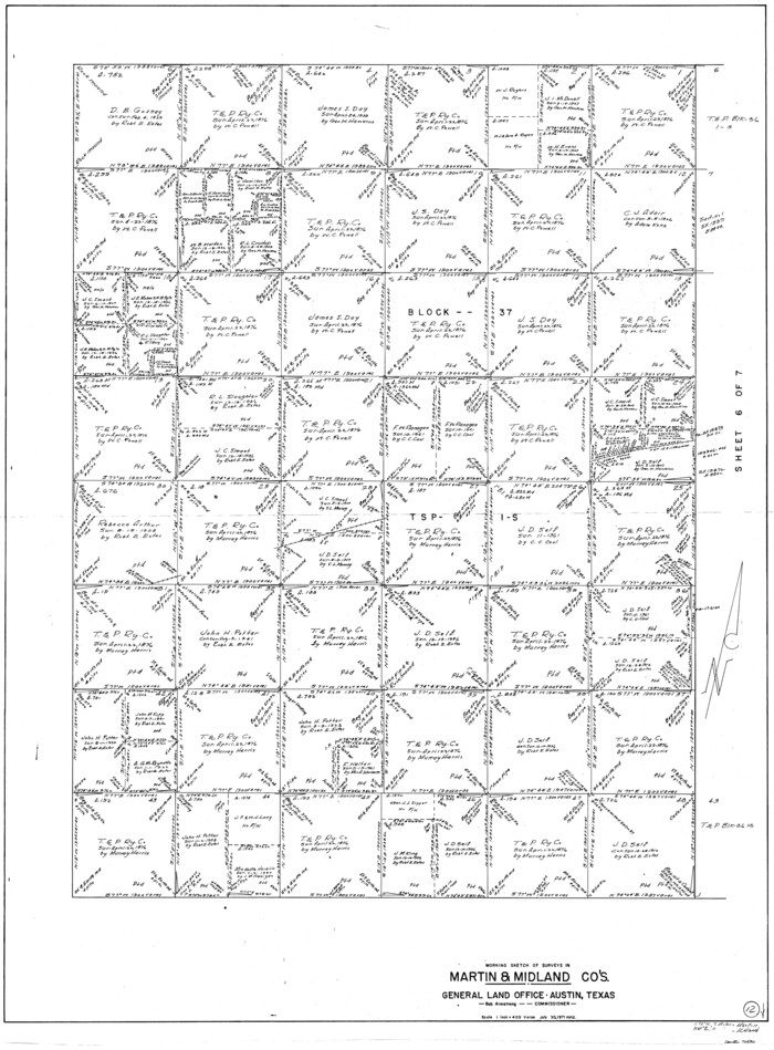

Print $40.00
- Digital $50.00
Martin County Working Sketch 12
1971
Size 48.2 x 35.6 inches
Map/Doc 70830
El Paso County Rolled Sketch 52


Print $20.00
- Digital $50.00
El Paso County Rolled Sketch 52
1929
Size 19.1 x 24.3 inches
Map/Doc 5850
Flight Mission No. DCL-5C, Frame 25, Kenedy County
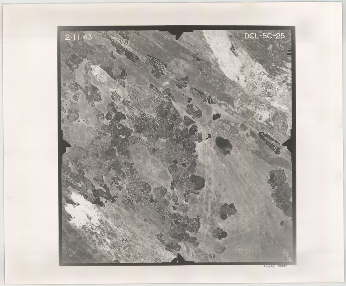

Print $20.00
- Digital $50.00
Flight Mission No. DCL-5C, Frame 25, Kenedy County
1943
Size 18.4 x 22.3 inches
Map/Doc 85837
Callahan County Working Sketch 8

Print $20.00
- Digital $50.00
Callahan County Working Sketch 8
Size 30.5 x 23.7 inches
Map/Doc 67890
Calhoun County Working Sketch 7

Print $20.00
- Digital $50.00
Calhoun County Working Sketch 7
1943
Size 20.1 x 22.0 inches
Map/Doc 67823
![64403, [Galveston, Harrisburg & San Antonio Railway], General Map Collection](https://historictexasmaps.com/wmedia_w1800h1800/maps/64403.tif.jpg)
