[Gulf, Colorado & Santa Fe]
Z-2-182
-
Map/Doc
64591
-
Collection
General Map Collection
-
Object Dates
1918 (Creation Date)
1947/10/29 (File Date)
-
Counties
Brazoria Harris
-
Subjects
Railroads
-
Height x Width
63.1 x 31.2 inches
160.3 x 79.2 cm
-
Medium
blueprint/diazo
-
Comments
Segment 2; see counter no. 64590 for segment 1 and counter no. 64592 for sheet 2.
-
Features
GC&SF
Mary's Creek
Pearland
Part of: General Map Collection
Nacogdoches County Sketch File 1

Print $4.00
- Digital $50.00
Nacogdoches County Sketch File 1
Size 10.2 x 7.8 inches
Map/Doc 32233
Erath County Rolled Sketch 4

Print $20.00
- Digital $50.00
Erath County Rolled Sketch 4
Size 29.1 x 40.9 inches
Map/Doc 5866
Donley County Sketch File 11

Print $8.00
- Digital $50.00
Donley County Sketch File 11
1892
Size 14.6 x 8.3 inches
Map/Doc 21244
Hamilton County Rolled Sketch 3

Print $20.00
- Digital $50.00
Hamilton County Rolled Sketch 3
1919
Size 20.6 x 26.2 inches
Map/Doc 6070
Flight Mission No. CUG-1P, Frame 109, Kleberg County
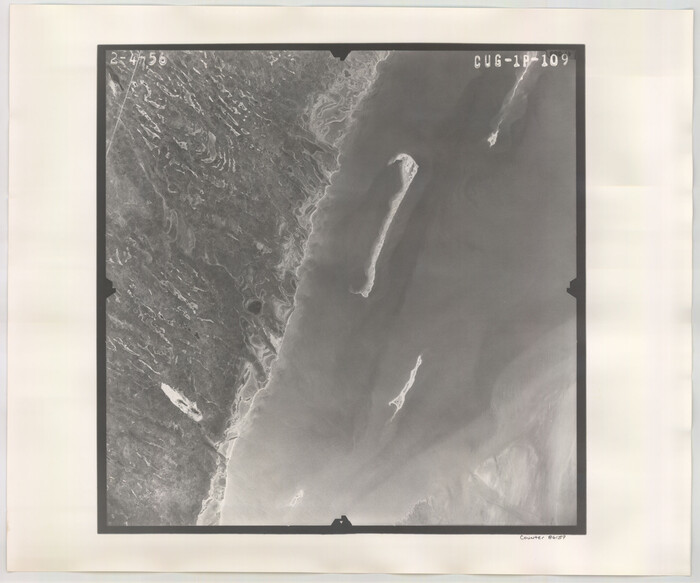

Print $20.00
- Digital $50.00
Flight Mission No. CUG-1P, Frame 109, Kleberg County
1956
Size 18.6 x 22.3 inches
Map/Doc 86159
Jeff Davis County Rolled Sketch 29
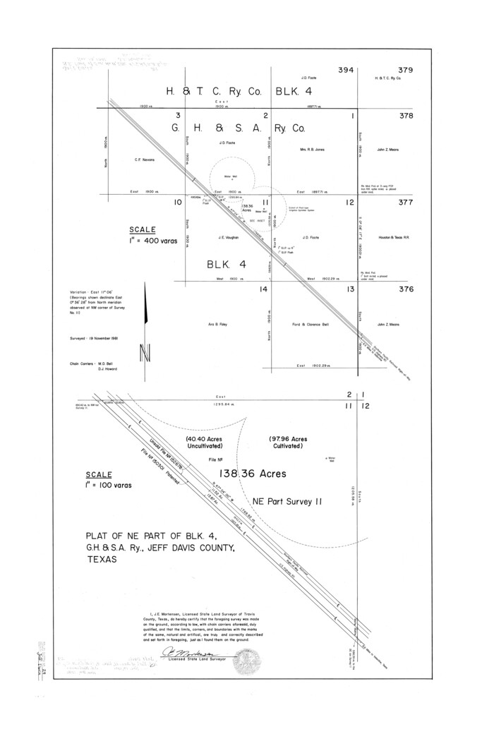

Print $20.00
- Digital $50.00
Jeff Davis County Rolled Sketch 29
Size 40.4 x 27.2 inches
Map/Doc 6377
Flight Mission No. CGI-4N, Frame 146, Cameron County


Print $20.00
- Digital $50.00
Flight Mission No. CGI-4N, Frame 146, Cameron County
1955
Size 18.7 x 22.3 inches
Map/Doc 84665
Leon County Texas


Print $20.00
- Digital $50.00
Leon County Texas
1896
Size 25.4 x 22.1 inches
Map/Doc 3806
San Jacinto County Working Sketch 13


Print $20.00
- Digital $50.00
San Jacinto County Working Sketch 13
1935
Size 25.0 x 18.8 inches
Map/Doc 63726
Flight Mission No. CUG-1P, Frame 77, Kleberg County
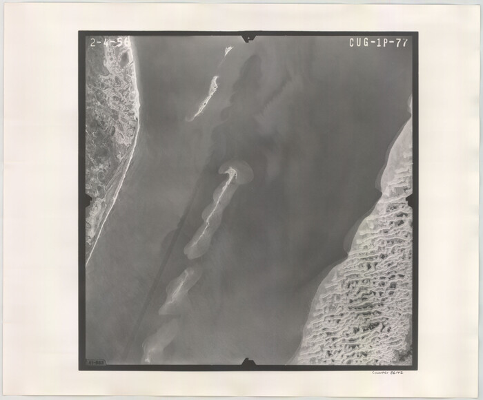

Print $20.00
- Digital $50.00
Flight Mission No. CUG-1P, Frame 77, Kleberg County
1956
Size 18.4 x 22.1 inches
Map/Doc 86142
Greater Fort Worth City
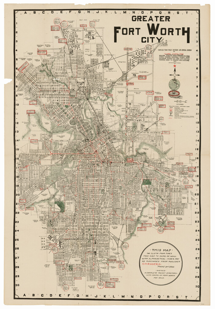

Print $20.00
- Digital $50.00
Greater Fort Worth City
1919
Size 31.2 x 21.5 inches
Map/Doc 93423
Collin County Boundary File 18b
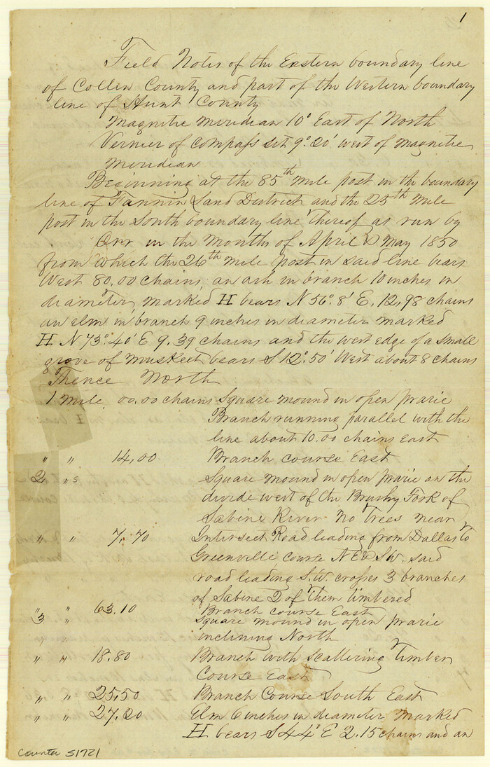

Print $24.00
- Digital $50.00
Collin County Boundary File 18b
Size 12.7 x 8.1 inches
Map/Doc 51721
You may also like
Flight Mission No. BQR-13K, Frame 117, Brazoria County
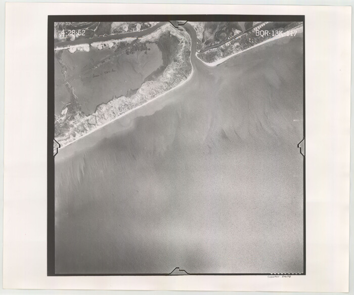

Print $20.00
- Digital $50.00
Flight Mission No. BQR-13K, Frame 117, Brazoria County
1952
Size 18.6 x 22.4 inches
Map/Doc 84078
Tom Green County Sketch File 14


Print $20.00
- Digital $50.00
Tom Green County Sketch File 14
Size 34.8 x 45.7 inches
Map/Doc 10401
Childress County Sketch File 16b
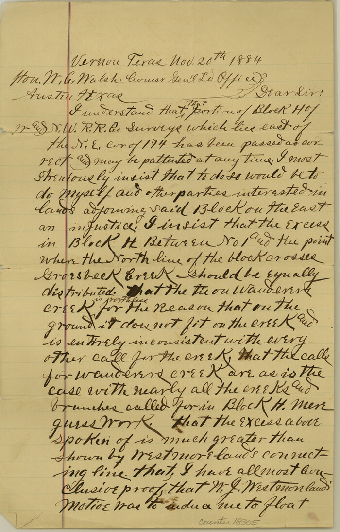

Print $6.00
- Digital $50.00
Childress County Sketch File 16b
1884
Size 12.6 x 8.1 inches
Map/Doc 18305
[Brooks & Burleson Block 4, Hartley County]
![5037, [Brooks & Burleson Block 4, Hartley County], Maddox Collection](https://historictexasmaps.com/wmedia_w700/maps/5037.tif.jpg)
![5037, [Brooks & Burleson Block 4, Hartley County], Maddox Collection](https://historictexasmaps.com/wmedia_w700/maps/5037.tif.jpg)
Print $3.00
- Digital $50.00
[Brooks & Burleson Block 4, Hartley County]
Size 10.3 x 9.5 inches
Map/Doc 5037
Baylor County Boundary File 5


Print $56.00
- Digital $50.00
Baylor County Boundary File 5
Size 8.1 x 62.3 inches
Map/Doc 50392
Map of Refugio County
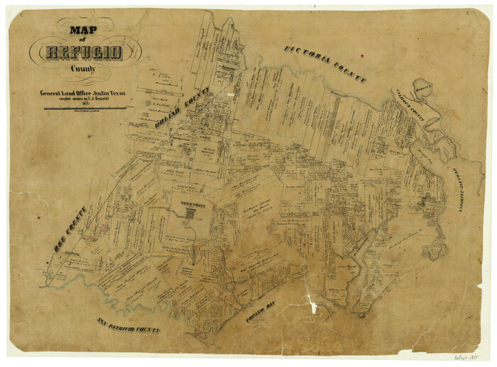

Print $20.00
- Digital $50.00
Map of Refugio County
1875
Size 20.9 x 28.2 inches
Map/Doc 3988
Montgomery County Working Sketch 61
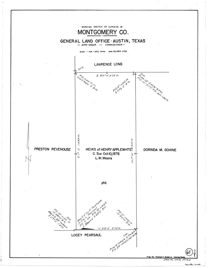

Print $20.00
- Digital $50.00
Montgomery County Working Sketch 61
1963
Size 25.6 x 19.9 inches
Map/Doc 71168
[Surveys in Austin's Colony along the Navasota River and Ten Mile Creek]
![80, [Surveys in Austin's Colony along the Navasota River and Ten Mile Creek], General Map Collection](https://historictexasmaps.com/wmedia_w700/maps/80.tif.jpg)
![80, [Surveys in Austin's Colony along the Navasota River and Ten Mile Creek], General Map Collection](https://historictexasmaps.com/wmedia_w700/maps/80.tif.jpg)
Print $20.00
- Digital $50.00
[Surveys in Austin's Colony along the Navasota River and Ten Mile Creek]
1821
Size 29.2 x 18.0 inches
Map/Doc 80
El Paso County Rolled Sketch 46A
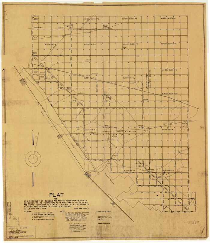

Print $20.00
- Digital $50.00
El Paso County Rolled Sketch 46A
1937
Size 35.1 x 30.2 inches
Map/Doc 5833
Edwards County Sketch File 1
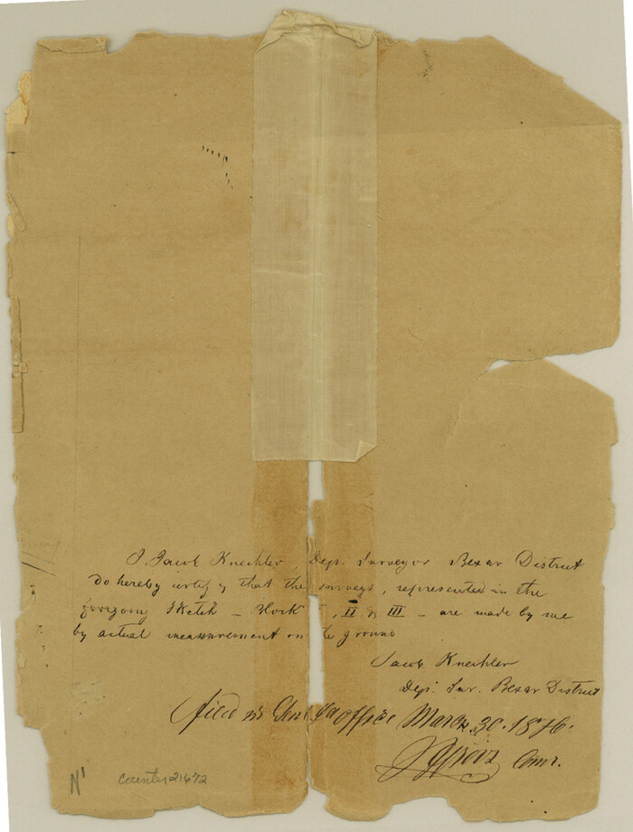

Print $10.00
- Digital $50.00
Edwards County Sketch File 1
Size 9.2 x 7.0 inches
Map/Doc 21672
Runnels County Rolled Sketch 28


Print $20.00
- Digital $50.00
Runnels County Rolled Sketch 28
1928
Size 19.8 x 39.4 inches
Map/Doc 7516
Limestone County


Print $40.00
- Digital $50.00
Limestone County
1922
Size 50.6 x 36.2 inches
Map/Doc 73342
![64591, [Gulf, Colorado & Santa Fe], General Map Collection](https://historictexasmaps.com/wmedia_w1800h1800/maps/64591.tif.jpg)