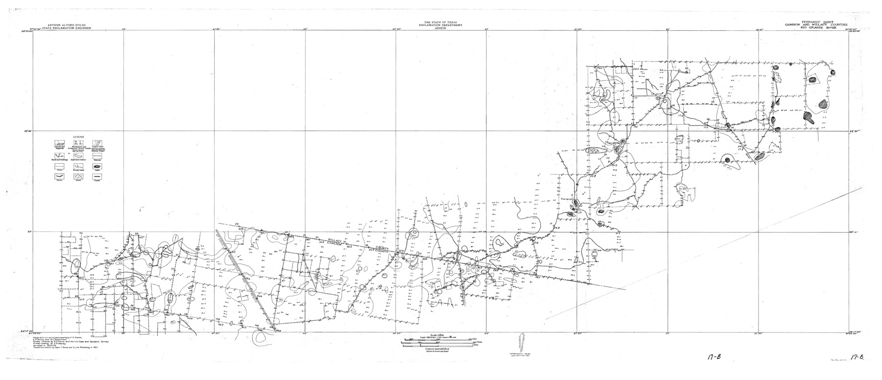
Rio Grande - Fernando Sheet
-
Map/Doc
65115
-
Collection
General Map Collection
-
Object Dates
1925 (Creation Date)
-
People and Organizations
Texas State Reclamation Department (Publisher)
Stuart T. Penick (Draftsman)
Stuart T. Penick (Compiler)
E.J. von Rosenberg (Compiler)
E.J. von Rosenberg (Draftsman)
E.R. Manley (Surveyor/Engineer)
W.L. Stephenson (Surveyor/Engineer)
F.R. Poston (Surveyor/Engineer)
-
Counties
Cameron Willacy
-
Subjects
River Surveys Topographic
-
Height x Width
28.8 x 66.7 inches
73.2 x 169.4 cm
Part of: General Map Collection
Crane County Working Sketch 18

Print $20.00
- Digital $50.00
Crane County Working Sketch 18
1959
Size 37.9 x 18.8 inches
Map/Doc 68295
Fort Bend County State Real Property Sketch 18

Print $40.00
- Digital $50.00
Fort Bend County State Real Property Sketch 18
2006
Size 17.7 x 24.0 inches
Map/Doc 88615
Donley County Rolled Sketch 3

Print $20.00
- Digital $50.00
Donley County Rolled Sketch 3
1946
Size 15.1 x 21.9 inches
Map/Doc 5729
Flight Mission No. BRA-6M, Frame 73, Jefferson County

Print $20.00
- Digital $50.00
Flight Mission No. BRA-6M, Frame 73, Jefferson County
1953
Size 18.6 x 22.3 inches
Map/Doc 85417
[Galveston, Harrisburg & San Antonio through El Paso County]
![64002, [Galveston, Harrisburg & San Antonio through El Paso County], General Map Collection](https://historictexasmaps.com/wmedia_w700/maps/64002.tif.jpg)
Print $20.00
- Digital $50.00
[Galveston, Harrisburg & San Antonio through El Paso County]
1907
Size 13.6 x 33.9 inches
Map/Doc 64002
Val Verde County Sketch File Z23

Print $6.00
- Digital $50.00
Val Verde County Sketch File Z23
1919
Size 7.3 x 8.8 inches
Map/Doc 39166
Zapata County Rolled Sketch 20

Print $40.00
- Digital $50.00
Zapata County Rolled Sketch 20
1956
Size 21.2 x 49.1 inches
Map/Doc 10171
Newton County Working Sketch 37

Print $20.00
- Digital $50.00
Newton County Working Sketch 37
1960
Size 31.7 x 22.7 inches
Map/Doc 71283
Scurry County Working Sketch 10

Print $20.00
- Digital $50.00
Scurry County Working Sketch 10
1990
Size 25.7 x 28.7 inches
Map/Doc 63839
Real County Working Sketch 83

Print $20.00
- Digital $50.00
Real County Working Sketch 83
1986
Size 25.7 x 43.0 inches
Map/Doc 71975
Armstrong County Sketch File 7

Print $6.00
- Digital $50.00
Armstrong County Sketch File 7
1902
Size 11.1 x 8.6 inches
Map/Doc 13702
Duval County Sketch File 33

Print $55.00
- Digital $50.00
Duval County Sketch File 33
1932
Size 14.4 x 8.8 inches
Map/Doc 21342
You may also like
Lynn County Sketch File A1

Print $12.00
- Digital $50.00
Lynn County Sketch File A1
1903
Size 12.7 x 8.2 inches
Map/Doc 30464
Lamb County Sketch File 17

Print $20.00
- Digital $50.00
Lamb County Sketch File 17
1940
Size 25.4 x 12.3 inches
Map/Doc 11973
Map of Permanent Lakes & Marshes in Calhoun, Victoria & Jackson Counties for Mineral Development

Print $20.00
- Digital $50.00
Map of Permanent Lakes & Marshes in Calhoun, Victoria & Jackson Counties for Mineral Development
1937
Size 31.3 x 37.2 inches
Map/Doc 3021
Reagan County Sketch File 26

Print $20.00
- Digital $50.00
Reagan County Sketch File 26
1948
Size 16.9 x 28.7 inches
Map/Doc 12223
Hardeman County Aerial Photograph Index Sheet 5

Print $20.00
- Digital $50.00
Hardeman County Aerial Photograph Index Sheet 5
1950
Size 19.0 x 16.9 inches
Map/Doc 83701
Limestone County Sketch File 7

Print $4.00
- Digital $50.00
Limestone County Sketch File 7
1862
Size 13.3 x 7.9 inches
Map/Doc 30169
Current Miscellaneous File 84

Print $10.00
- Digital $50.00
Current Miscellaneous File 84
1954
Size 11.2 x 8.8 inches
Map/Doc 74231
Flight Mission No. DIX-7P, Frame 89, Aransas County

Print $20.00
- Digital $50.00
Flight Mission No. DIX-7P, Frame 89, Aransas County
1956
Size 18.7 x 22.4 inches
Map/Doc 83883
[Sections 58-70, I. & G. N. Block 1, Runnels County School Land and part of Block 194]
![91632, [Sections 58-70, I. & G. N. Block 1, Runnels County School Land and part of Block 194], Twichell Survey Records](https://historictexasmaps.com/wmedia_w700/maps/91632-1.tif.jpg)
Print $20.00
- Digital $50.00
[Sections 58-70, I. & G. N. Block 1, Runnels County School Land and part of Block 194]
Size 23.9 x 20.9 inches
Map/Doc 91632
Aransas County Sketch File 20

Print $4.00
- Digital $50.00
Aransas County Sketch File 20
1896
Size 8.2 x 10.2 inches
Map/Doc 13155
Map of Matagorda County

Print $20.00
- Digital $50.00
Map of Matagorda County
1883
Size 29.4 x 26.6 inches
Map/Doc 3840
Sabine County Sketch File 2

Print $4.00
Sabine County Sketch File 2
Size 10.0 x 7.9 inches
Map/Doc 35602