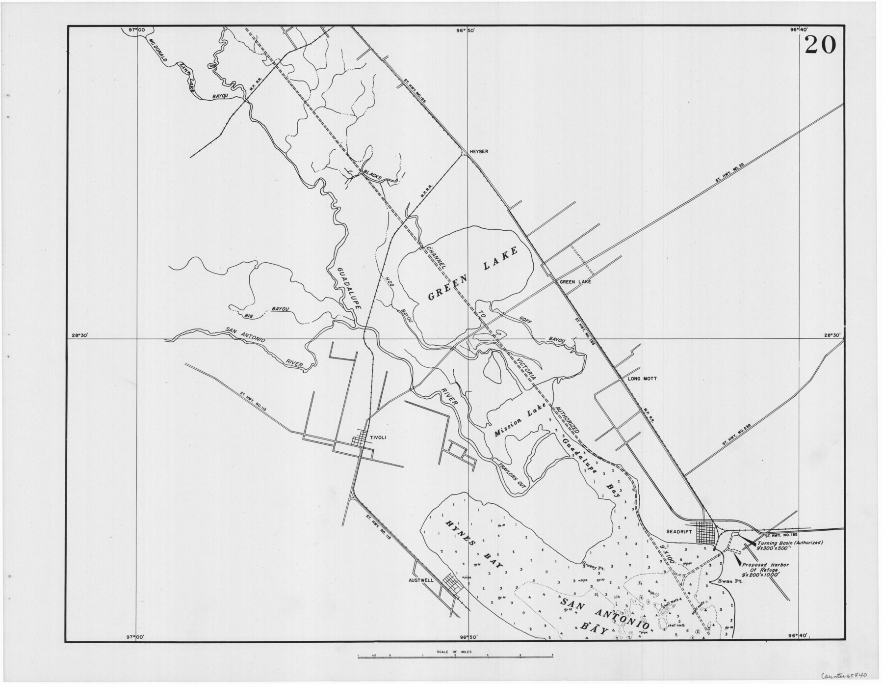
Navigation Maps of Gulf Intracoastal Waterway, Port Arthur to Brownsville, Texas
K-7-68
-
Map/Doc
65440
-
Collection
General Map Collection
-
Object Dates
1951 (Creation Date)
-
People and Organizations
Corps of Engineers (Publisher)
-
Counties
Calhoun Refugio
-
Subjects
Intracoastal Waterways
-
Height x Width
16.6 x 21.5 inches
42.2 x 54.6 cm
Part of: General Map Collection
Kenedy County Aerial Photograph Index Sheet 5

Print $20.00
- Digital $50.00
Kenedy County Aerial Photograph Index Sheet 5
1943
Size 23.5 x 19.6 inches
Map/Doc 89046
Armstrong County Rolled Sketch OS

Print $20.00
- Digital $50.00
Armstrong County Rolled Sketch OS
1902
Size 17.5 x 32.4 inches
Map/Doc 5086
Terrell County Working Sketch 8b

Print $20.00
- Digital $50.00
Terrell County Working Sketch 8b
1916
Size 15.1 x 18.6 inches
Map/Doc 69695

Caney Cr. of East San Jacinto

Print $2.00
- Digital $50.00
Caney Cr. of East San Jacinto
Size 5.3 x 6.7 inches
Map/Doc 69745
Wise County Rolled Sketch 7

Print $20.00
- Digital $50.00
Wise County Rolled Sketch 7
Size 23.9 x 18.4 inches
Map/Doc 8281
Coleman County Sketch File 32

Print $4.00
- Digital $50.00
Coleman County Sketch File 32
Size 12.8 x 8.4 inches
Map/Doc 18723
Flight Mission No. DIX-5P, Frame 108, Aransas County

Print $20.00
- Digital $50.00
Flight Mission No. DIX-5P, Frame 108, Aransas County
1956
Size 17.2 x 18.1 inches
Map/Doc 83787
Travis County Boundary File 27

Print $2.00
- Digital $50.00
Travis County Boundary File 27
Size 8.4 x 12.9 inches
Map/Doc 59463
Runnels County Working Sketch 9

Print $40.00
- Digital $50.00
Runnels County Working Sketch 9
1948
Size 48.8 x 30.1 inches
Map/Doc 69712
PSL Field Notes for Block C24 in Loving and Winkler Counties, and Blocks C22 and C23 in Winkler County

PSL Field Notes for Block C24 in Loving and Winkler Counties, and Blocks C22 and C23 in Winkler County
Map/Doc 81677
Chambers County Sketch File 18b

Print $15.00
- Digital $50.00
Chambers County Sketch File 18b
1901
Size 9.2 x 8.1 inches
Map/Doc 17571
You may also like
Webb County Sketch File 46

Print $20.00
- Digital $50.00
Webb County Sketch File 46
1879
Size 19.6 x 14.9 inches
Map/Doc 12644
Flight Mission No. BRA-17M, Frame 11, Jefferson County

Print $20.00
- Digital $50.00
Flight Mission No. BRA-17M, Frame 11, Jefferson County
1953
Size 18.4 x 22.2 inches
Map/Doc 85792
Upton County Rolled Sketch 18

Print $40.00
- Digital $50.00
Upton County Rolled Sketch 18
1933
Size 38.3 x 55.5 inches
Map/Doc 10039
The Republic County of Houston. Spring 1842

Print $20.00
The Republic County of Houston. Spring 1842
2020
Size 19.7 x 21.8 inches
Map/Doc 96182
Morris County Rolled Sketch 2A

Print $20.00
- Digital $50.00
Morris County Rolled Sketch 2A
Size 36.5 x 20.0 inches
Map/Doc 10283
Amistad International Reservoir on Rio Grande 92

Print $20.00
- Digital $50.00
Amistad International Reservoir on Rio Grande 92
1950
Size 28.5 x 40.6 inches
Map/Doc 75522
Goliad County Sketch File 31

Print $6.00
- Digital $50.00
Goliad County Sketch File 31
1897
Size 10.7 x 8.2 inches
Map/Doc 24329
Dimmit County Sketch File 47

Print $24.00
- Digital $50.00
Dimmit County Sketch File 47
1908
Size 11.2 x 9.0 inches
Map/Doc 21178
K&E Paragon N4238 Compensating Polar Planimeter

K&E Paragon N4238 Compensating Polar Planimeter
1930
Size 1.5 x 9.3 inches
Map/Doc 97308
Potter County Rolled Sketch 6

Print $20.00
- Digital $50.00
Potter County Rolled Sketch 6
Size 26.3 x 35.0 inches
Map/Doc 7320
Calhoun County Rolled Sketch 33

Print $73.00
- Digital $50.00
Calhoun County Rolled Sketch 33
1979
Size 10.0 x 15.2 inches
Map/Doc 43687
Coast Chart No. 212 - From Latitude 26° 33' to the Rio Grande, Texas

Print $20.00
- Digital $50.00
Coast Chart No. 212 - From Latitude 26° 33' to the Rio Grande, Texas
1886
Size 21.9 x 17.5 inches
Map/Doc 73505