[Sketch for Mineral Application 16787 - Pecos River Bed, A. T. Freet]
K-1-27 (a-d)
-
Map/Doc
65632
-
Collection
General Map Collection
-
Height x Width
70.8 x 18.9 inches
179.8 x 48.0 cm
Part of: General Map Collection
Brewster County Boundary File 2

Print $40.00
- Digital $50.00
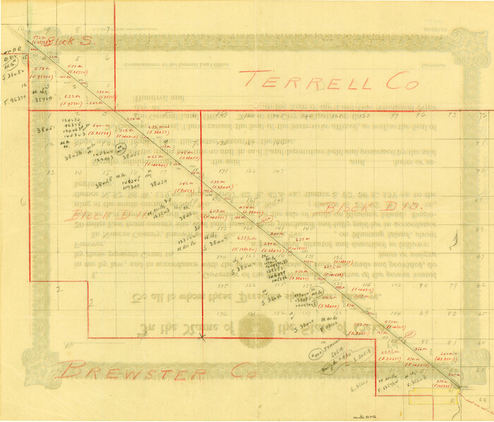
Brewster County Boundary File 2
Size 14.0 x 16.3 inches
Map/Doc 50756
Gillespie County

Print $20.00
- Digital $50.00
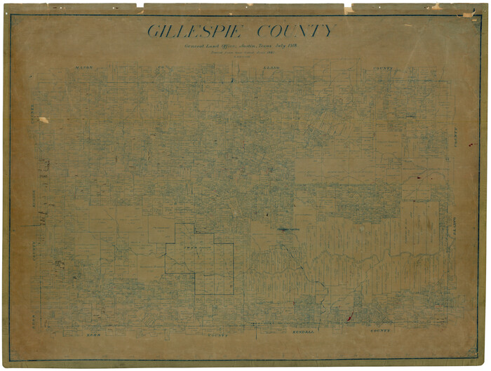
Gillespie County
1918
Size 35.8 x 47.4 inches
Map/Doc 81950
Baylor County Sketch File 15

Print $6.00
- Digital $50.00
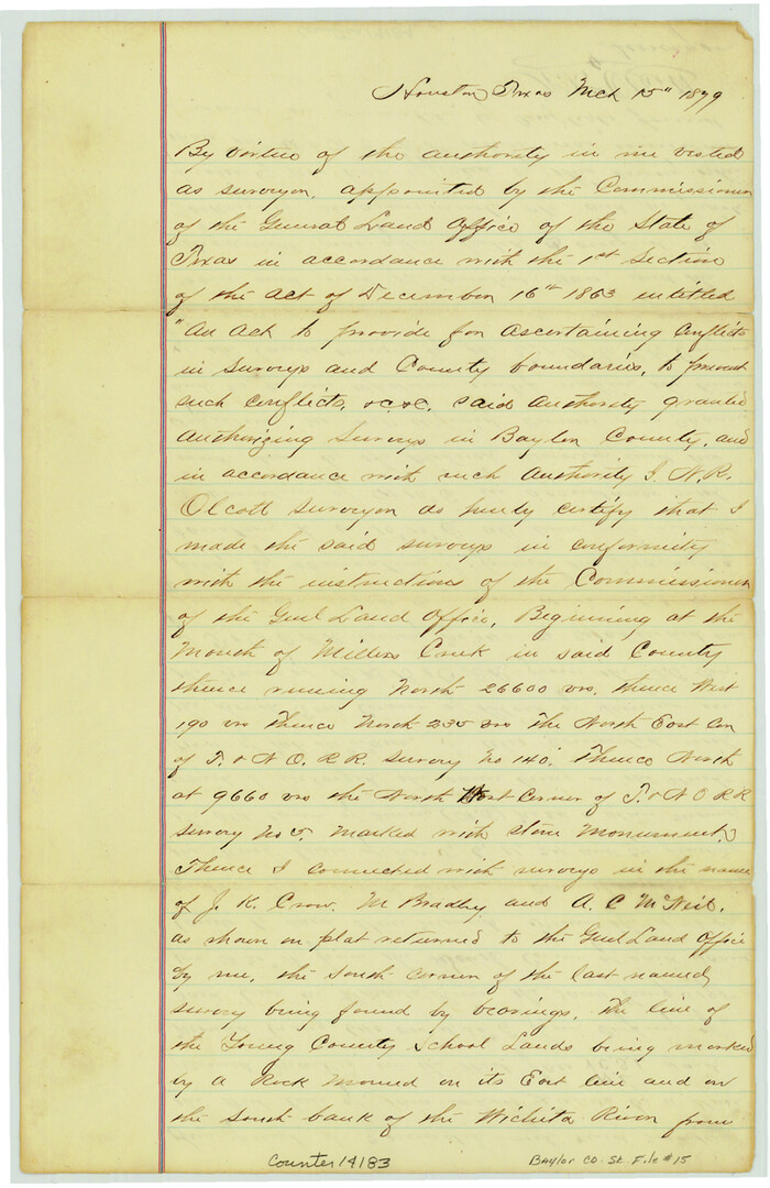
Baylor County Sketch File 15
1879
Size 13.0 x 8.4 inches
Map/Doc 14183
Strip Map of Texas-Oklahoma Boundary from Denison East to the Oklahoma-Arkansas State Line

Print $20.00
- Digital $50.00
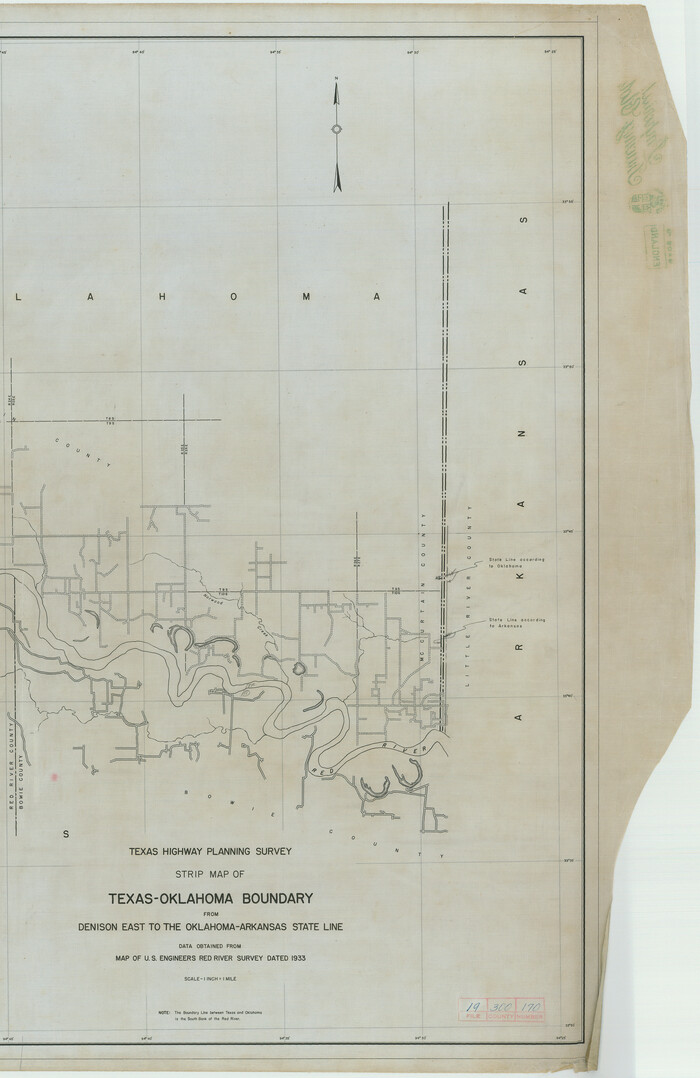
Strip Map of Texas-Oklahoma Boundary from Denison East to the Oklahoma-Arkansas State Line
1933
Size 37.7 x 24.5 inches
Map/Doc 75927
McLennan County Sketch File 10
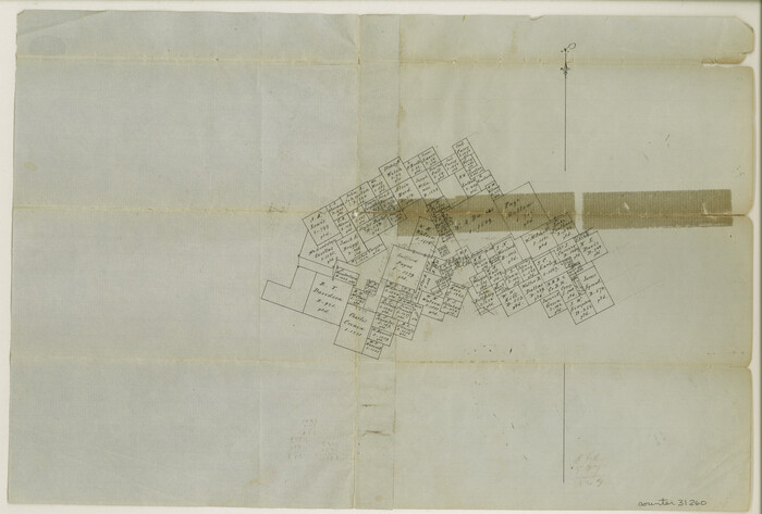

Print $6.00
- Digital $50.00
McLennan County Sketch File 10
1861
Size 10.3 x 15.2 inches
Map/Doc 31260
Flight Mission No. DIX-8P, Frame 65, Aransas County
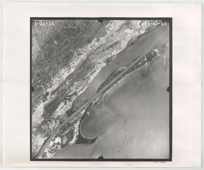

Print $20.00
- Digital $50.00
Flight Mission No. DIX-8P, Frame 65, Aransas County
1956
Size 18.7 x 22.4 inches
Map/Doc 83896
Reeves County Working Sketch 36
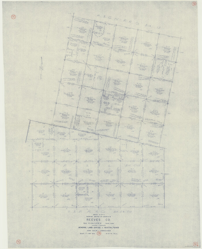

Print $20.00
- Digital $50.00
Reeves County Working Sketch 36
1970
Size 43.1 x 35.0 inches
Map/Doc 63479
Comanche County Sketch File 5
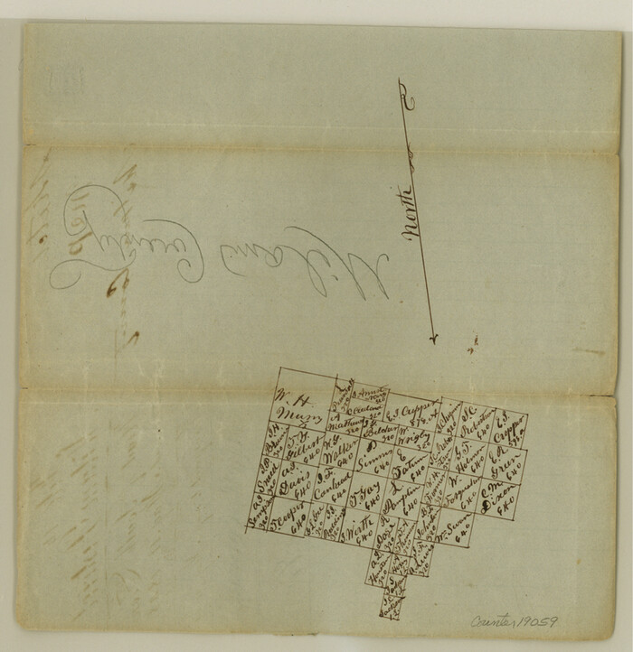

Print $4.00
- Digital $50.00
Comanche County Sketch File 5
1848
Size 8.6 x 8.3 inches
Map/Doc 19059
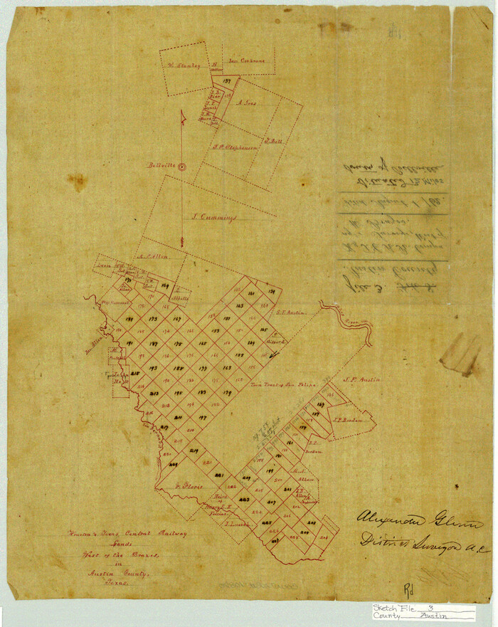
Austin County Sketch File 3

Print $40.00
- Digital $50.00
Austin County Sketch File 3
Size 17.1 x 13.6 inches
Map/Doc 10870
North end of Brazos Island


Print $20.00
- Digital $50.00
North end of Brazos Island
Size 25.9 x 18.2 inches
Map/Doc 72917
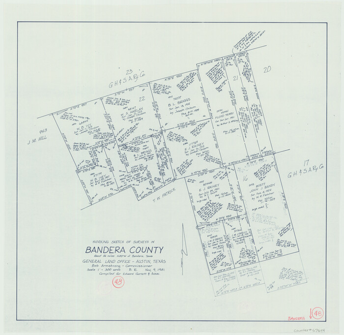
Bandera County Working Sketch 48

Print $20.00
- Digital $50.00
Bandera County Working Sketch 48
1981
Size 21.0 x 21.6 inches
Map/Doc 67644
You may also like
The University of Texas at Austin


The University of Texas at Austin
Size 16.0 x 17.1 inches
Map/Doc 94388
Flight Mission No. DAG-23K, Frame 18, Matagorda County


Print $20.00
- Digital $50.00
Flight Mission No. DAG-23K, Frame 18, Matagorda County
1953
Size 18.5 x 22.2 inches
Map/Doc 86480
International Railroad Map & Profile of the Second Fifty Miles East of Brazos River


Print $40.00
- Digital $50.00
International Railroad Map & Profile of the Second Fifty Miles East of Brazos River
1877
Size 19.8 x 76.6 inches
Map/Doc 64465
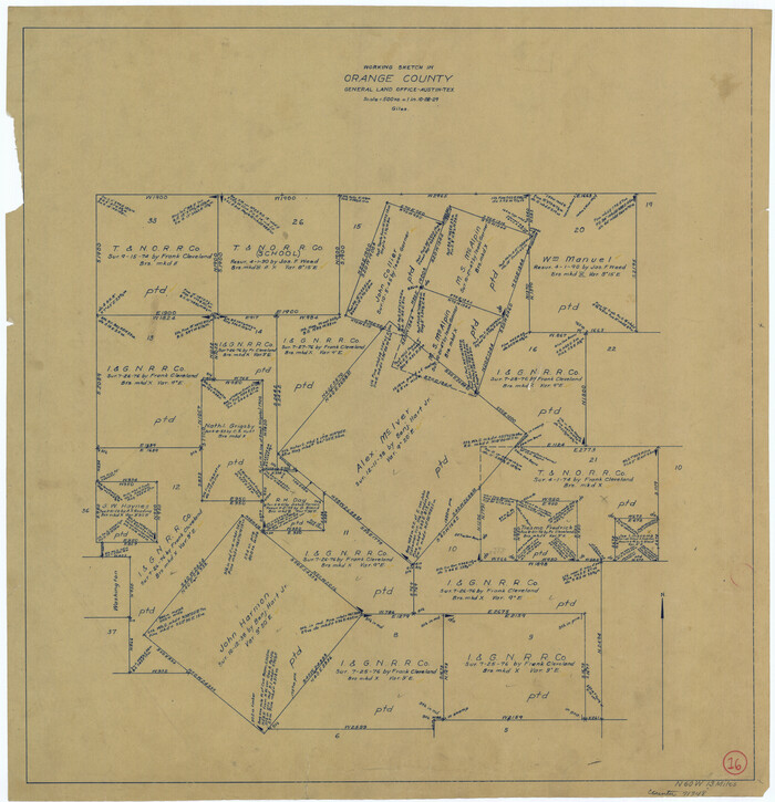
Orange County Working Sketch 16

Print $20.00
- Digital $50.00
Orange County Working Sketch 16
1929
Size 25.0 x 24.2 inches
Map/Doc 71348
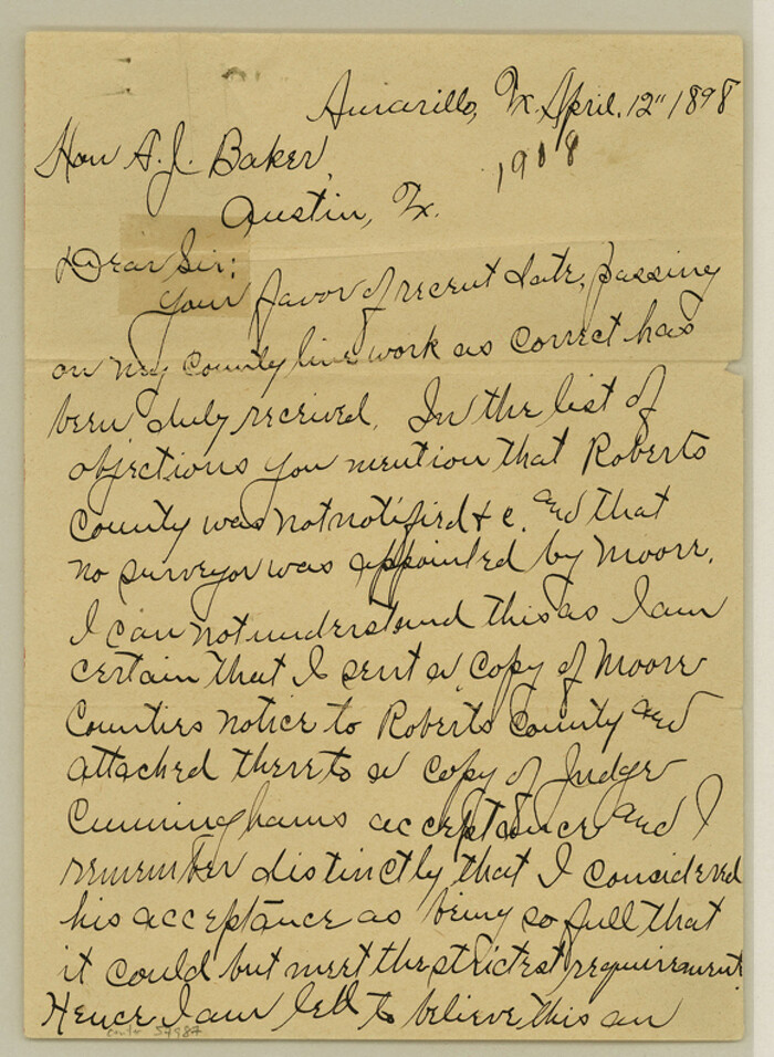
Potter County Boundary File 3d

Print $12.00
- Digital $50.00
Potter County Boundary File 3d
Size 7.9 x 5.8 inches
Map/Doc 57987
Lynn County Rolled Sketch 11


Print $20.00
- Digital $50.00
Lynn County Rolled Sketch 11
1940
Size 14.2 x 16.4 inches
Map/Doc 6647
Sutton County Sketch File 59


Print $20.00
- Digital $50.00
Sutton County Sketch File 59
Size 24.6 x 16.5 inches
Map/Doc 12394
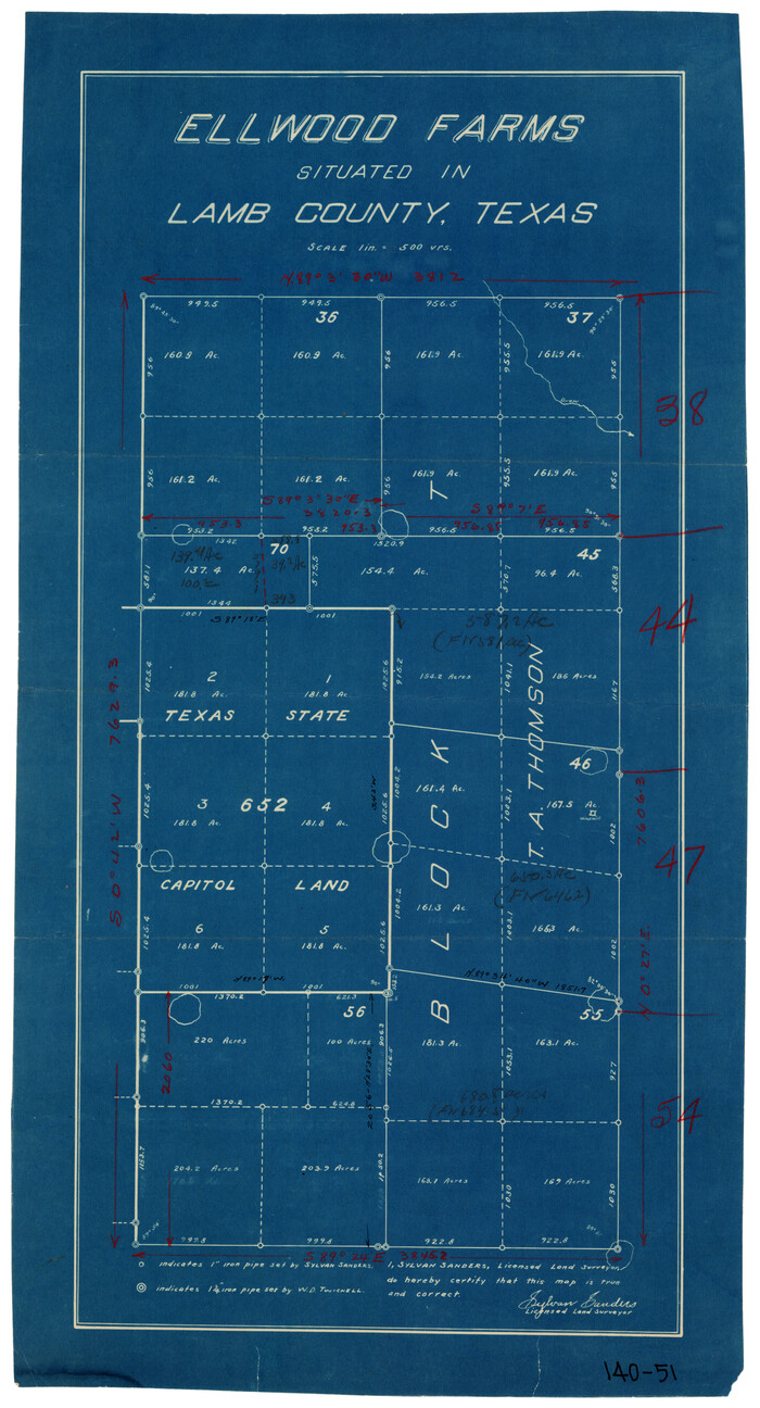
Ellwood Farms, Situated in Lamb County, Texas

Print $20.00
- Digital $50.00
Ellwood Farms, Situated in Lamb County, Texas
Size 12.5 x 22.8 inches
Map/Doc 90993
[Red River & Southwestern Ry. Co. from Henrietta to Archer City]
![64147, [Red River & Southwestern Ry. Co. from Henrietta to Archer City], General Map Collection](https://historictexasmaps.com/wmedia_w700/maps/64147.tif.jpg)
![64147, [Red River & Southwestern Ry. Co. from Henrietta to Archer City], General Map Collection](https://historictexasmaps.com/wmedia_w700/maps/64147.tif.jpg)
Print $20.00
- Digital $50.00
[Red River & Southwestern Ry. Co. from Henrietta to Archer City]
Size 14.3 x 21.1 inches
Map/Doc 64147
Right of Way and Track Map, The Missouri, Kansas and Texas Ry. of Texas operated by the Missouri, Kansas and Texas Ry. of Texas, Henrietta Division


Print $40.00
- Digital $50.00
Right of Way and Track Map, The Missouri, Kansas and Texas Ry. of Texas operated by the Missouri, Kansas and Texas Ry. of Texas, Henrietta Division
1918
Size 25.2 x 56.6 inches
Map/Doc 64067
The Buffalo Bayou, Brazos and Colorado Railroad (BBB&C)


The Buffalo Bayou, Brazos and Colorado Railroad (BBB&C)
2022
Size 8.5 x 11.0 inches
Map/Doc 97088
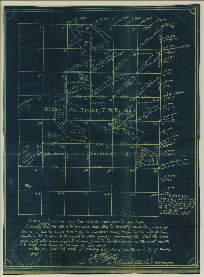
Glasscock County Sketch File 6

Print $6.00
- Digital $50.00
Glasscock County Sketch File 6
1929
Size 14.8 x 10.9 inches
Map/Doc 24164
![65632, [Sketch for Mineral Application 16787 - Pecos River Bed, A. T. Freet], General Map Collection](https://historictexasmaps.com/wmedia_w1800h1800/maps/65632-1.tif.jpg)
