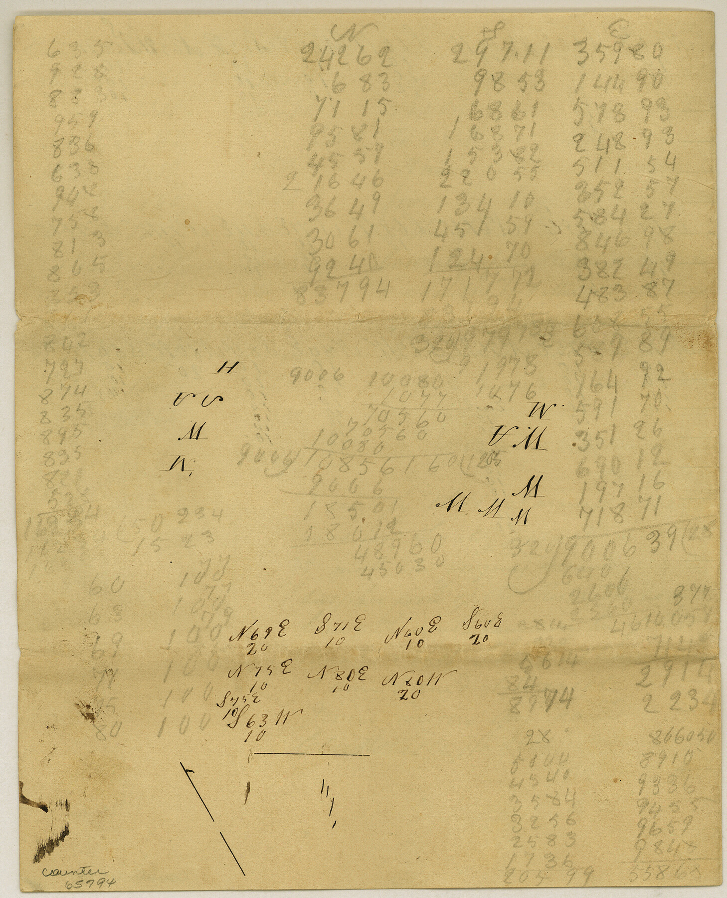
Meanders of Sulphur Fork of Red River, Red River County, Texas
K-3-7
-
Map/Doc
65794
-
Collection
General Map Collection
-
Object Dates
1841 (Creation Date)
-
Counties
Red River
-
Subjects
River Surveys
-
Height x Width
10.0 x 8.1 inches
25.4 x 20.6 cm
Part of: General Map Collection

Live Oak County Rolled Sketch 6

Print $20.00
- Digital $50.00
Live Oak County Rolled Sketch 6
1947
Size 43.6 x 25.9 inches
Map/Doc 6634
Cherokee County Sketch File 23

Print $20.00
- Digital $50.00
Cherokee County Sketch File 23
1922
Size 12.8 x 18.5 inches
Map/Doc 11073
Mason County Sketch File 17

Print $4.00
- Digital $50.00
Mason County Sketch File 17
Size 8.4 x 12.4 inches
Map/Doc 30705
Webb County Sketch File Z

Print $20.00
- Digital $50.00
Webb County Sketch File Z
1901
Size 16.8 x 22.2 inches
Map/Doc 12610
Photostat of section of hydrographic surveys H-5399, H-4822, H-470

Print $2.00
- Digital $50.00
Photostat of section of hydrographic surveys H-5399, H-4822, H-470
1933
Size 10.8 x 8.1 inches
Map/Doc 61157
San Patricio County Working Sketch 16

Print $20.00
- Digital $50.00
San Patricio County Working Sketch 16
1952
Size 41.6 x 32.1 inches
Map/Doc 63778
Archer County Boundary File 7

Print $10.00
- Digital $50.00
Archer County Boundary File 7
Size 8.2 x 5.2 inches
Map/Doc 50116
Falls County Sketch File 6

Print $4.00
- Digital $50.00
Falls County Sketch File 6
1848
Size 12.8 x 8.3 inches
Map/Doc 22341
Map of Ramsey State Farm, Brazoria County, Texas

Print $20.00
- Digital $50.00
Map of Ramsey State Farm, Brazoria County, Texas
Size 29.0 x 37.1 inches
Map/Doc 62997
Kimble County Working Sketch 71

Print $20.00
- Digital $50.00
Kimble County Working Sketch 71
1965
Size 47.1 x 22.0 inches
Map/Doc 70139
Schleicher County Sketch File 36

Print $20.00
- Digital $50.00
Schleicher County Sketch File 36
1951
Size 15.2 x 21.7 inches
Map/Doc 12309
You may also like
Hardin County Rolled Sketch TMH

Print $46.00
- Digital $50.00
Hardin County Rolled Sketch TMH
1936
Size 25.7 x 23.9 inches
Map/Doc 6093
Index sheet to accompany map of survey for connecting the inland waters along margin of the Gulf of Mexico from Donaldsonville in Louisiana to the Rio Grande River in Texas

Print $20.00
- Digital $50.00
Index sheet to accompany map of survey for connecting the inland waters along margin of the Gulf of Mexico from Donaldsonville in Louisiana to the Rio Grande River in Texas
Size 18.2 x 27.4 inches
Map/Doc 72690
Texas Gulf Coast, from the Sabine River to the Rio Grande as Subdivided for Mineral Development; Matagorda, Calhoun and Aransas Counties

Print $40.00
- Digital $50.00
Texas Gulf Coast, from the Sabine River to the Rio Grande as Subdivided for Mineral Development; Matagorda, Calhoun and Aransas Counties
1976
Size 43.0 x 90.9 inches
Map/Doc 1939
Galveston County NRC Article 33.136 Sketch 2

Print $46.00
- Digital $50.00
Galveston County NRC Article 33.136 Sketch 2
2000
Size 23.1 x 34.4 inches
Map/Doc 61565
[H. & G. N. Block 28]
![90344, [H. & G. N. Block 28], Twichell Survey Records](https://historictexasmaps.com/wmedia_w700/maps/90344-1.tif.jpg)
Print $20.00
- Digital $50.00
[H. & G. N. Block 28]
Size 25.1 x 31.2 inches
Map/Doc 90344
Gregg County Working Sketch 23

Print $20.00
- Digital $50.00
Gregg County Working Sketch 23
1982
Size 20.2 x 42.2 inches
Map/Doc 63290
Mapa de toda la Frontera de los dominios del Rey en la America septentrional

Print $40.00
Mapa de toda la Frontera de los dominios del Rey en la America septentrional
1771
Size 26.4 x 50.0 inches
Map/Doc 95311
[North part of G. C. & S. F. Block OP, Runnels County School Land and Blks. AB, CD and GH]
![90310, [North part of G. C. & S. F. Block OP, Runnels County School Land and Blks. AB, CD and GH], Twichell Survey Records](https://historictexasmaps.com/wmedia_w700/maps/90310-1.tif.jpg)
Print $20.00
- Digital $50.00
[North part of G. C. & S. F. Block OP, Runnels County School Land and Blks. AB, CD and GH]
Size 17.5 x 22.4 inches
Map/Doc 90310
Hudspeth County Working Sketch 23

Print $40.00
- Digital $50.00
Hudspeth County Working Sketch 23
1967
Size 52.7 x 34.3 inches
Map/Doc 69650
Cameron County Rolled Sketch 25

Print $20.00
- Digital $50.00
Cameron County Rolled Sketch 25
1977
Size 24.8 x 36.5 inches
Map/Doc 5797
Crockett County Rolled Sketch 72

Print $20.00
- Digital $50.00
Crockett County Rolled Sketch 72
1949
Size 26.9 x 22.0 inches
Map/Doc 5613
Gulf Intracoastal Waterway - Aransas Bay to Corpus Christi Bay - Modified Route Main Channel

Print $20.00
- Digital $50.00
Gulf Intracoastal Waterway - Aransas Bay to Corpus Christi Bay - Modified Route Main Channel
1960
Size 31.0 x 42.7 inches
Map/Doc 61901