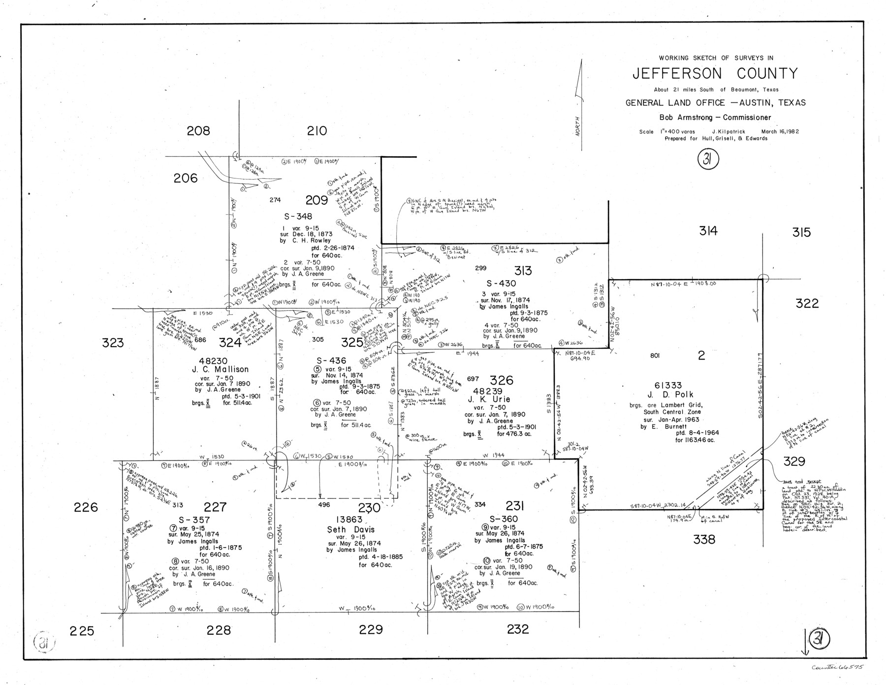
Jefferson County Working Sketch 31
-
Map/Doc
66575
-
Collection
General Map Collection
-
Object Dates
3/16/1982 (Creation Date)
-
People and Organizations
Joan Kilpatrick (Draftsman)
-
Counties
Jefferson
-
Subjects
Surveying Working Sketch
-
Height x Width
21.3 x 27.6 inches
54.1 x 70.1 cm
-
Scale
1" = 400 varas
Part of: General Map Collection
Anderson County

Print $40.00
- Digital $50.00
Anderson County
1942
Size 54.2 x 47.3 inches
Map/Doc 66701
Wilbarger County Sketch File 17

Print $4.00
- Digital $50.00
Wilbarger County Sketch File 17
1886
Size 14.2 x 8.7 inches
Map/Doc 40207
Roberts County Boundary File 2

Print $12.00
- Digital $50.00
Roberts County Boundary File 2
Size 9.9 x 6.4 inches
Map/Doc 58333
Bandera County Sketch File 22

Print $4.00
- Digital $50.00
Bandera County Sketch File 22
Size 12.6 x 7.9 inches
Map/Doc 14012
King County Sketch File 8

Print $46.00
- Digital $50.00
King County Sketch File 8
Size 8.8 x 8.9 inches
Map/Doc 29060
Kenedy County Rolled Sketch 9

Print $20.00
- Digital $50.00
Kenedy County Rolled Sketch 9
Size 27.1 x 41.7 inches
Map/Doc 6469
Atascosa County Working Sketch 10

Print $20.00
- Digital $50.00
Atascosa County Working Sketch 10
1919
Size 26.2 x 22.3 inches
Map/Doc 67206
Real County Working Sketch 34

Print $20.00
- Digital $50.00
Real County Working Sketch 34
1948
Size 25.6 x 29.0 inches
Map/Doc 71926
Red River County Working Sketch 44

Print $20.00
- Digital $50.00
Red River County Working Sketch 44
1968
Size 28.1 x 28.3 inches
Map/Doc 72027
Bosque County Working Sketch 25

Print $20.00
- Digital $50.00
Bosque County Working Sketch 25
1994
Size 36.6 x 47.9 inches
Map/Doc 67459
Kerr County Working Sketch 9

Print $20.00
- Digital $50.00
Kerr County Working Sketch 9
1949
Size 31.6 x 33.0 inches
Map/Doc 70040
Pecos County Rolled Sketch 81

Print $20.00
- Digital $50.00
Pecos County Rolled Sketch 81
1930
Size 35.9 x 25.4 inches
Map/Doc 7240
You may also like
PSL Field Notes for Blocks 15 through 29 in Hudspeth County

PSL Field Notes for Blocks 15 through 29 in Hudspeth County
Map/Doc 81659
Kimble County Sketch File 16

Print $30.00
- Digital $50.00
Kimble County Sketch File 16
1886
Size 8.5 x 7.9 inches
Map/Doc 28942
Archer County Working Sketch 10b

Print $20.00
- Digital $50.00
Archer County Working Sketch 10b
1924
Size 25.5 x 40.2 inches
Map/Doc 67151
Menard County Rolled Sketch 12

Print $20.00
- Digital $50.00
Menard County Rolled Sketch 12
Size 14.4 x 21.7 inches
Map/Doc 6758
Freestone County Working Sketch 27

Print $20.00
- Digital $50.00
Freestone County Working Sketch 27
1986
Size 28.0 x 30.9 inches
Map/Doc 69269
Ward County Rolled Sketch 22

Print $40.00
- Digital $50.00
Ward County Rolled Sketch 22
1873
Size 69.2 x 18.0 inches
Map/Doc 10110
Sutton County Rolled Sketch 43

Print $20.00
- Digital $50.00
Sutton County Rolled Sketch 43
1939
Size 18.7 x 26.8 inches
Map/Doc 7885
Map of Bastrop County

Print $20.00
- Digital $50.00
Map of Bastrop County
1861
Size 26.3 x 29.0 inches
Map/Doc 3280
Flight Mission No. CGI-4N, Frame 183, Cameron County

Print $20.00
- Digital $50.00
Flight Mission No. CGI-4N, Frame 183, Cameron County
1955
Size 18.6 x 22.3 inches
Map/Doc 84686
Polk County Sketch File 39

Print $24.00
- Digital $50.00
Polk County Sketch File 39
Size 8.3 x 13.3 inches
Map/Doc 34278
Roberts County Rolled Sketch 3

Print $40.00
- Digital $50.00
Roberts County Rolled Sketch 3
Size 37.7 x 48.9 inches
Map/Doc 8359
Williamson County Sketch File 30

Print $20.00
- Digital $50.00
Williamson County Sketch File 30
Size 24.6 x 18.7 inches
Map/Doc 12696