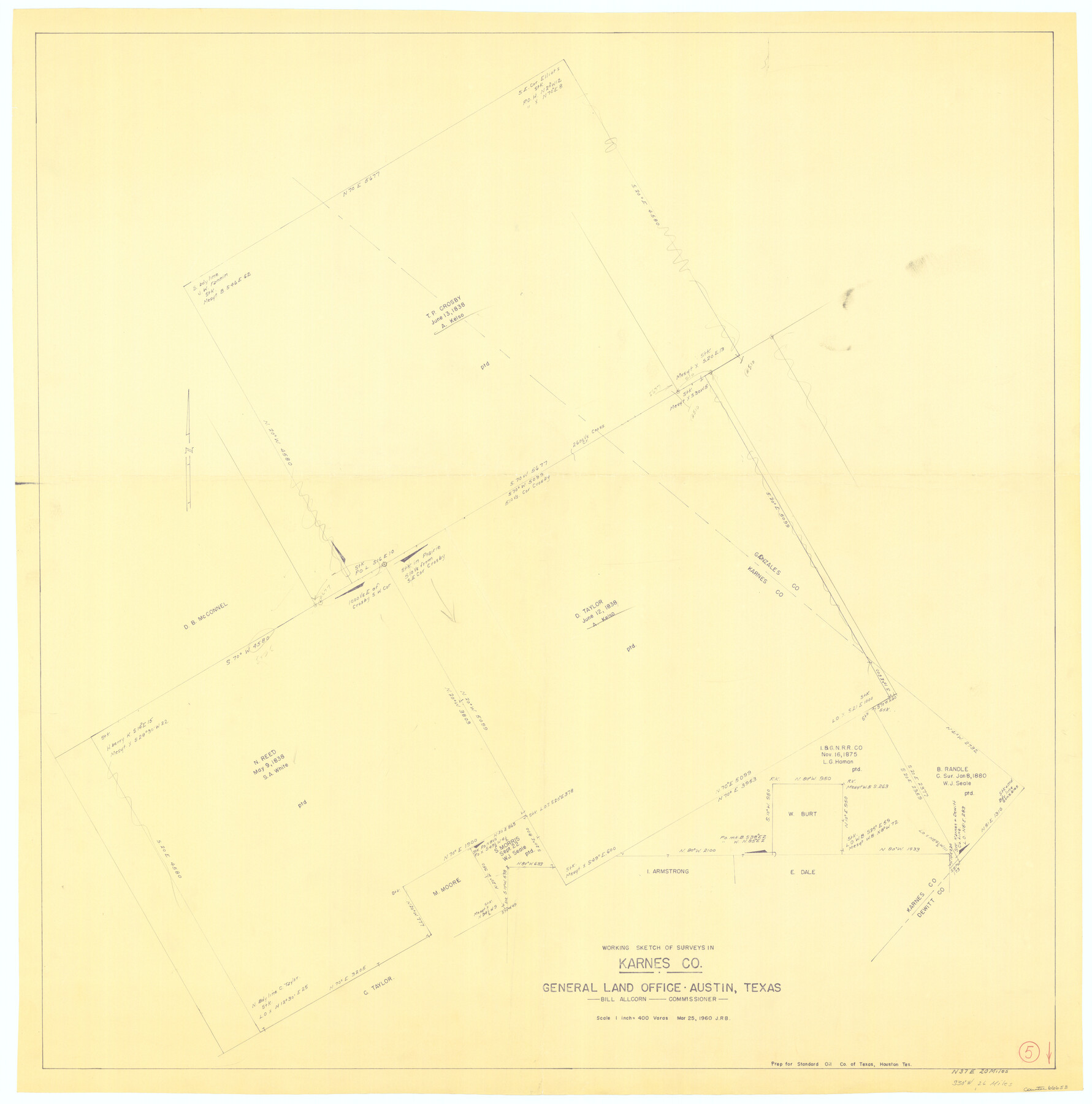
Karnes County Working Sketch 5
-
Map/Doc
66653
-
Collection
General Map Collection
-
Object Dates
3/25/1960 (Creation Date)
-
Counties
Karnes
-
Subjects
Surveying Working Sketch
-
Height x Width
37.2 x 36.8 inches
94.5 x 93.5 cm
-
Scale
1" = 400 varas
Part of: General Map Collection
Runnels County Sketch File 13

Print $2.00
Runnels County Sketch File 13
Size 8.0 x 6.2 inches
Map/Doc 35456
Bandera County Working Sketch 41

Print $20.00
- Digital $50.00
Bandera County Working Sketch 41
1977
Size 31.3 x 37.7 inches
Map/Doc 67637
San Patricio County Sketch File 52

Print $14.00
- Digital $50.00
San Patricio County Sketch File 52
1917
Size 11.3 x 8.7 inches
Map/Doc 36381

Flight Mission No. DCL-3C, Frame 156, Kenedy County

Print $20.00
- Digital $50.00
Flight Mission No. DCL-3C, Frame 156, Kenedy County
1943
Size 18.5 x 22.3 inches
Map/Doc 85804
Tom Green County Sketch File 75

Print $20.00
- Digital $50.00
Tom Green County Sketch File 75
1950
Size 18.1 x 22.5 inches
Map/Doc 12449
Hall County Sketch File 25

Print $40.00
- Digital $50.00
Hall County Sketch File 25
1912
Size 14.5 x 13.6 inches
Map/Doc 24822
Trinity River, Eagle Ford Sheet/Trinity and Elm Fork of Trinity River

Print $20.00
- Digital $50.00
Trinity River, Eagle Ford Sheet/Trinity and Elm Fork of Trinity River
1917
Size 29.5 x 23.2 inches
Map/Doc 69685
Brazos River, East Waco Sheet

Print $6.00
- Digital $50.00
Brazos River, East Waco Sheet
1928
Size 31.6 x 25.9 inches
Map/Doc 65283
Jasper County

Print $20.00
- Digital $50.00
Jasper County
1946
Size 46.8 x 41.0 inches
Map/Doc 77325
Map of the United States and Mexico showing the Trans-Union and Tehuantepec route between Europe and Asia

Print $20.00
- Digital $50.00
Map of the United States and Mexico showing the Trans-Union and Tehuantepec route between Europe and Asia
1851
Size 20.3 x 23.7 inches
Map/Doc 94851
Atascosa County Rolled Sketch 24

Print $20.00
- Digital $50.00
Atascosa County Rolled Sketch 24
Size 38.3 x 45.2 inches
Map/Doc 5101
You may also like
Denton County Working Sketch 21

Print $20.00
- Digital $50.00
Denton County Working Sketch 21
1983
Size 37.3 x 35.8 inches
Map/Doc 68626
Culberson County Sketch File 2a

Print $20.00
- Digital $50.00
Culberson County Sketch File 2a
1849
Size 20.0 x 14.7 inches
Map/Doc 4852
Sterling County Rolled Sketch 32

Print $20.00
- Digital $50.00
Sterling County Rolled Sketch 32
Size 17.9 x 29.4 inches
Map/Doc 7856
Archer County Boundary File 3

Print $54.00
- Digital $50.00
Archer County Boundary File 3
Size 9.3 x 7.3 inches
Map/Doc 50094
Carte de la Louisiane et Pays Voisins Pour servir a l'Histoire Generale des Voyages

Print $20.00
Carte de la Louisiane et Pays Voisins Pour servir a l'Histoire Generale des Voyages
1757
Size 9.6 x 14.9 inches
Map/Doc 94572
Flight Mission No. DIX-10P, Frame 70, Aransas County

Print $20.00
- Digital $50.00
Flight Mission No. DIX-10P, Frame 70, Aransas County
1956
Size 18.7 x 22.4 inches
Map/Doc 83931
Wilbarger County Rolled Sketch 10

Print $20.00
- Digital $50.00
Wilbarger County Rolled Sketch 10
1983
Size 37.6 x 23.8 inches
Map/Doc 8259
Map of Bowie County

Print $20.00
- Digital $50.00
Map of Bowie County
1884
Size 19.4 x 23.7 inches
Map/Doc 3319
A Map of Louisiana and Mexico

Print $20.00
- Digital $50.00
A Map of Louisiana and Mexico
1820
Size 43.8 x 32.9 inches
Map/Doc 94945
Duval County Rolled Sketch 45

Print $20.00
- Digital $50.00
Duval County Rolled Sketch 45
1982
Size 36.3 x 24.5 inches
Map/Doc 5760
Flight Mission No. DQO-2K, Frame 149, Galveston County

Print $20.00
- Digital $50.00
Flight Mission No. DQO-2K, Frame 149, Galveston County
1952
Size 18.8 x 22.4 inches
Map/Doc 85046
Scurry County North Snyder Area

Print $20.00
- Digital $50.00
Scurry County North Snyder Area
1949
Size 32.7 x 23.6 inches
Map/Doc 92920