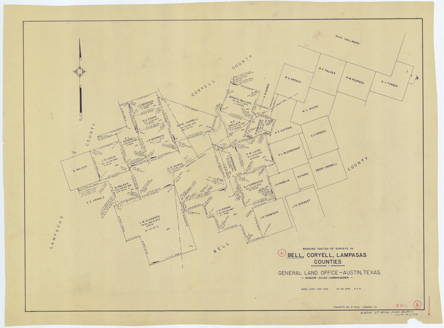
Bell County Working Sketch 6
- 
                          Map/Doc67346
- 
                            CollectionGeneral Map Collection
- 
                            Object Dates10/25/1946 (Creation Date)
- 
                            People and OrganizationsBascom Giles (GLO Commissioner)Otto G. Kurio (Draftsman)
- 
                            CountiesBell Coryell Lampasas
- 
                            SubjectsSurveying Working Sketch
- 
                            Height x Width24.9 x 33.6 inches63.3 x 85.3 cm
- 
                            Scale1" = 400 varas
- 
                            CommentsSurveys located about 27 miles North 87 degrees West of Belton, Texas.
Part of: General Map Collection
            A New Map of the Whole Continent of America. Divided into North and South and West Indies, wherein are exactly decribed the United States of North America as well as the Several European Possessions according to the Preliminaries of Peace…


                                            Print $40.00                    
                                             -                         Digital $50.00                                    
                A New Map of the Whole Continent of America. Divided into North and South and West Indies, wherein are exactly decribed the United States of North America as well as the Several European Possessions according to the Preliminaries of Peace…
Size 22.0 x 48.3 inches
                                Map/Doc 95135
            
            Hansford County Sketch File 11


                                            Print $6.00                    
                                             -                         Digital $50.00                                    
                Hansford County Sketch File 11
Size 11.2 x 8.7 inches
                                Map/Doc 24972
            
            Zavala County Sketch File 11a


                                            Print $10.00                    
                                             -                         Digital $50.00                                    
                Zavala County Sketch File 11a
1885
Size 11.2 x 8.6 inches
                                Map/Doc 41272
            
            J. De Cordova's Map of the State of Texas Compiled from the records of the General Land Office of the State


                                            Print $20.00                    
                                             -                         Digital $50.00                                    
                J. De Cordova's Map of the State of Texas Compiled from the records of the General Land Office of the State
1858
Size 31.6 x 29.6 inches
                                Map/Doc 2127
            
            McMullen County Working Sketch 20


                                            Print $20.00                    
                                             -                         Digital $50.00                                    
                McMullen County Working Sketch 20
1945
Size 34.1 x 29.6 inches
                                Map/Doc 70721
            
            Uvalde County


                                            Print $20.00                    
                                             -                         Digital $50.00                                    
                Uvalde County
1915
Size 42.9 x 46.2 inches
                                Map/Doc 63091
            
            Right of Way Map, Belton Branch of the M.K.&T. RR.


                                            Print $20.00                    
                                             -                         Digital $50.00                                    
                Right of Way Map, Belton Branch of the M.K.&T. RR.
1896
Size 14.5 x 42.1 inches
                                Map/Doc 64219
            
            Liberty County Sketch File 53


                                            Print $42.00                    
                                             -                         Digital $50.00                                    
                Liberty County Sketch File 53
1900
Size 7.5 x 8.5 inches
                                Map/Doc 30019
            
            Trinity River, Wildcat Ferry Sheet


                                            Print $20.00                    
                                             -                         Digital $50.00                                    
                Trinity River, Wildcat Ferry Sheet
1928
Size 41.5 x 40.9 inches
                                Map/Doc 65182
            
            Madison County Working Sketch 5


                                            Print $4.00                    
                                             -                         Digital $50.00                                    
                Madison County Working Sketch 5
1981
Size 24.0 x 24.1 inches
                                Map/Doc 70767
            
            Somervell County Sketch File 4


                                            Print $4.00                    
                                             -                         Digital $50.00                                    
                Somervell County Sketch File 4
Size 6.4 x 8.8 inches
                                Map/Doc 36800
            
            Leon County Rolled Sketch 36


                                            Print $20.00                    
                                             -                         Digital $50.00                                    
                Leon County Rolled Sketch 36
Size 18.1 x 24.0 inches
                                Map/Doc 95352
            You may also like
            General Highway Map.  Detail of Cities and Towns in Bexar County, Texas.  City Map of San Antonio, Alamo Heights, Olmos Park, Terrell Hills, Castle Hills, Balcones Heights, and vicinity, Bexar County, Texas


                                            Print $20.00                    
                                    
                General Highway Map. Detail of Cities and Towns in Bexar County, Texas. City Map of San Antonio, Alamo Heights, Olmos Park, Terrell Hills, Castle Hills, Balcones Heights, and vicinity, Bexar County, Texas
1961
Size 18.1 x 25.1 inches
                                Map/Doc 79373
            
            [Blocks 47, Z, XO2, M18, M23, M25, and H]
            
                                    ![91236, [Blocks 47, Z, XO2, M18, M23, M25, and H], Twichell Survey Records](https://historictexasmaps.com/wmedia_w700/maps/91236-1.tif.jpg) 


    ![91236, [Blocks 47, Z, XO2, M18, M23, M25, and H], Twichell Survey Records](https://historictexasmaps.com/wmedia_w700/maps/91236-1.tif.jpg) 
                                
            
                                            Print $20.00                    
                                             -                         Digital $50.00                                    
                [Blocks 47, Z, XO2, M18, M23, M25, and H]
Size 29.6 x 23.6 inches
                                Map/Doc 91236
            
            Controlled Mosaic by Jack Amman Photogrammetric Engineers, Inc - Sheet 41


                                            Print $20.00                    
                                             -                         Digital $50.00                                    
                Controlled Mosaic by Jack Amman Photogrammetric Engineers, Inc - Sheet 41
1954
Size 20.0 x 24.0 inches
                                Map/Doc 83498
            
            General Highway Map, Live Oak County, Texas


                                            Print $20.00                    
                                    
                General Highway Map, Live Oak County, Texas
1940
Size 18.4 x 24.8 inches
                                Map/Doc 79177
            
            Presidio County Rolled Sketch 130


                                            Print $40.00                    
                                             -                         Digital $50.00                                    
                Presidio County Rolled Sketch 130
1993
Size 33.6 x 49.1 inches
                                Map/Doc 9800
            
            Cooke County Working Sketch 6


                                            Print $20.00                    
                                             -                         Digital $50.00                                    
                Cooke County Working Sketch 6
1935
Size 21.4 x 22.1 inches
                                Map/Doc 68243
            
            Guadalupe County Working Sketch 12


                                            Print $20.00                    
                                             -                         Digital $50.00                                    
                Guadalupe County Working Sketch 12
2005
Size 29.1 x 23.5 inches
                                Map/Doc 83571
            
            Richard's Addition to Adrian, Situated in Oldham County, Texas


                                            Print $20.00                    
                                             -                         Digital $50.00                                    
                Richard's Addition to Adrian, Situated in Oldham County, Texas
Size 21.4 x 24.3 inches
                                Map/Doc 91428
            
            Denton County Sketch File C


                                            Print $10.00                    
                                             -                         Digital $50.00                                    
                Denton County Sketch File C
1882
Size 10.9 x 8.3 inches
                                Map/Doc 20682
            
            Bray Subdivision and McElroy Subdivision


                                            Print $20.00                    
                                             -                         Digital $50.00                                    
                Bray Subdivision and McElroy Subdivision
Size 19.3 x 25.2 inches
                                Map/Doc 92746
            
            DeWitt County Sketch File 13


                                            Print $8.00                    
                                             -                         Digital $50.00                                    
                DeWitt County Sketch File 13
1845
Size 12.8 x 8.2 inches
                                Map/Doc 20824
             
                        