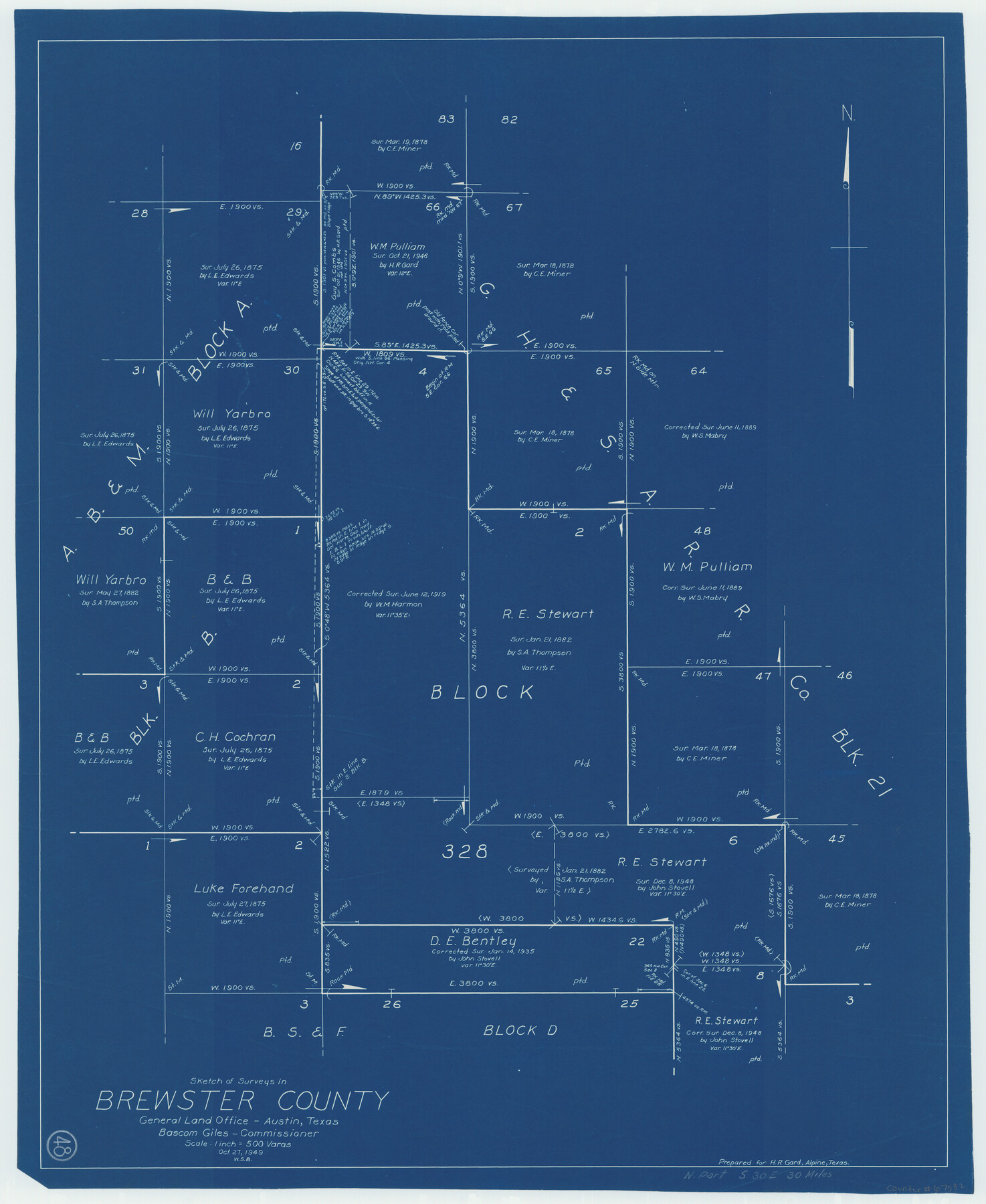
Brewster County Working Sketch 48
-
Map/Doc
67582
-
Collection
General Map Collection
-
Object Dates
10/27/1949 (Creation Date)
-
People and Organizations
W. S. Brewington (Draftsman)
-
Counties
Brewster
-
Subjects
Surveying Working Sketch
-
Height x Width
28.9 x 23.7 inches
73.4 x 60.2 cm
-
Scale
1" = 500 varas
Part of: General Map Collection
Willacy County Rolled Sketch 1

Print $121.00
- Digital $50.00
Willacy County Rolled Sketch 1
1956
Size 10.4 x 15.3 inches
Map/Doc 49566
Leon County Sketch File 38

Print $10.00
- Digital $50.00
Leon County Sketch File 38
1999
Size 11.0 x 8.5 inches
Map/Doc 29878
Bell County Rolled Sketch 2

Print $20.00
- Digital $50.00
Bell County Rolled Sketch 2
1954
Size 27.0 x 28.0 inches
Map/Doc 5133
Flight Mission No. DIX-6P, Frame 133, Aransas County

Print $20.00
- Digital $50.00
Flight Mission No. DIX-6P, Frame 133, Aransas County
1956
Size 19.6 x 23.3 inches
Map/Doc 83839
Hudspeth County Rolled Sketch 43

Print $40.00
- Digital $50.00
Hudspeth County Rolled Sketch 43
1932
Size 155.2 x 14.6 inches
Map/Doc 9216
Coast Chart No. 212 - From Latitude 26° 33' to the Rio Grande Texas

Print $20.00
- Digital $50.00
Coast Chart No. 212 - From Latitude 26° 33' to the Rio Grande Texas
1886
Size 18.3 x 24.1 inches
Map/Doc 72835
Flight Mission No. DQO-2K, Frame 95, Galveston County

Print $20.00
- Digital $50.00
Flight Mission No. DQO-2K, Frame 95, Galveston County
1952
Size 18.8 x 22.5 inches
Map/Doc 85022
Webb County Sketch File 52

Print $40.00
- Digital $50.00
Webb County Sketch File 52
1939
Size 14.2 x 16.7 inches
Map/Doc 39839
Aransas County Working Sketch 3

Print $20.00
- Digital $50.00
Aransas County Working Sketch 3
1928
Size 20.6 x 32.9 inches
Map/Doc 67170
McCulloch County Working Sketch 5

Print $20.00
- Digital $50.00
McCulloch County Working Sketch 5
1961
Size 21.3 x 19.2 inches
Map/Doc 70680
Smith County Sketch File 3

Print $4.00
- Digital $50.00
Smith County Sketch File 3
1853
Size 10.5 x 8.6 inches
Map/Doc 36750
Pecos County Sketch File 87

Print $18.00
- Digital $50.00
Pecos County Sketch File 87
1916
Size 13.3 x 8.9 inches
Map/Doc 33975
You may also like
Calhoun County Rolled Sketch 30

Print $20.00
- Digital $50.00
Calhoun County Rolled Sketch 30
1974
Size 18.5 x 27.5 inches
Map/Doc 5496
Map of Martinsburg Property, Gillespie Co., Tex.

Print $20.00
- Digital $50.00
Map of Martinsburg Property, Gillespie Co., Tex.
Size 15.7 x 13.6 inches
Map/Doc 446
Webb County Working Sketch 57

Print $20.00
- Digital $50.00
Webb County Working Sketch 57
1958
Size 24.9 x 38.0 inches
Map/Doc 72423
Outer Continental Shelf Leasing Maps (Louisiana Offshore Operations)

Print $20.00
- Digital $50.00
Outer Continental Shelf Leasing Maps (Louisiana Offshore Operations)
1954
Size 14.2 x 16.4 inches
Map/Doc 76115
PSL Field Notes for Blocks 58, 59, 60 1/2, 61 1/2, 62 1/2, 63 1/2, 64 1/2, 65 1/2, 66 1/2, 67 1/2, 68 1/2, 69 1/2, 70, 71, and 72 in Hudspeth County

PSL Field Notes for Blocks 58, 59, 60 1/2, 61 1/2, 62 1/2, 63 1/2, 64 1/2, 65 1/2, 66 1/2, 67 1/2, 68 1/2, 69 1/2, 70, 71, and 72 in Hudspeth County
Map/Doc 81662

Menard County Working Sketch 1

Print $20.00
- Digital $50.00
Menard County Working Sketch 1
1905
Size 23.3 x 18.9 inches
Map/Doc 70948
Palo Pinto County Working Sketch 14

Print $20.00
- Digital $50.00
Palo Pinto County Working Sketch 14
1960
Size 27.2 x 27.4 inches
Map/Doc 71397
[Sketch showing PSL Block AX and C. C. S. D. & R. G. N. G. RR. Co. Block G]
![90838, [Sketch showing PSL Block AX and C. C. S. D. & R. G. N. G. RR. Co. Block G], Twichell Survey Records](https://historictexasmaps.com/wmedia_w700/maps/90838-2.tif.jpg)
Print $20.00
- Digital $50.00
[Sketch showing PSL Block AX and C. C. S. D. & R. G. N. G. RR. Co. Block G]
Size 25.8 x 16.6 inches
Map/Doc 90838
Pecos County Sketch File 82

Print $46.00
- Digital $50.00
Pecos County Sketch File 82
1944
Size 14.2 x 8.8 inches
Map/Doc 33927
Flight Mission No. DQO-7K, Frame 109, Galveston County

Print $20.00
- Digital $50.00
Flight Mission No. DQO-7K, Frame 109, Galveston County
1952
Size 18.7 x 22.4 inches
Map/Doc 85124
Erath County Working Sketch 27

Print $20.00
- Digital $50.00
Erath County Working Sketch 27
1970
Size 26.6 x 24.0 inches
Map/Doc 69108