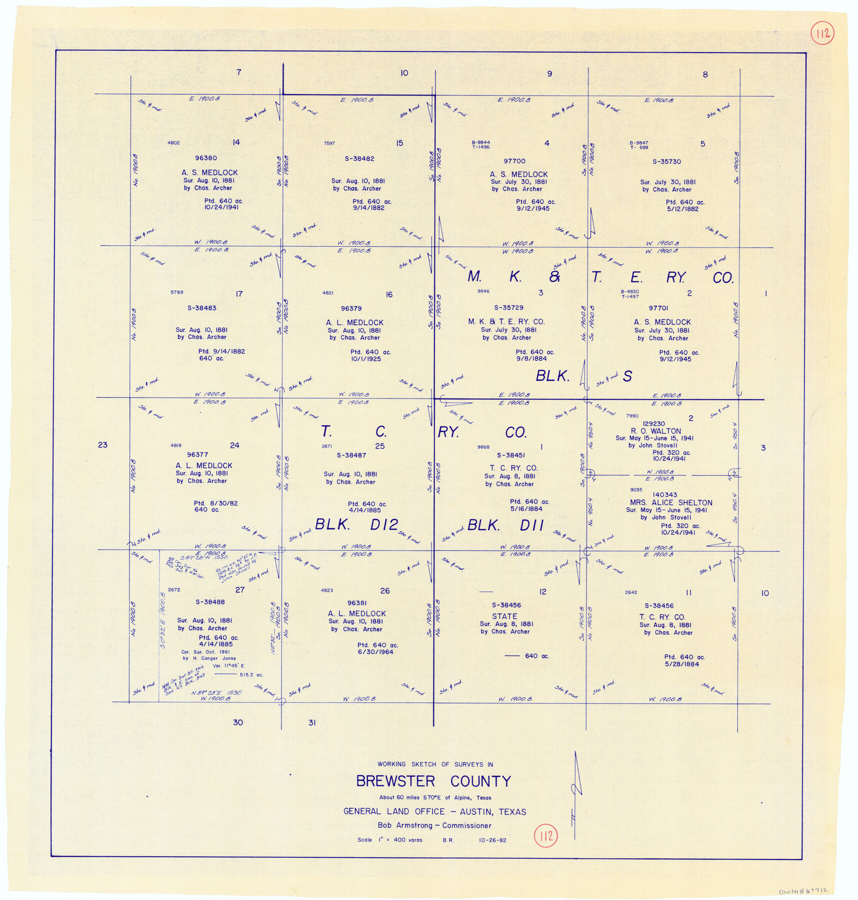
Brewster County Working Sketch 112
-
Map/Doc
67712
-
Collection
General Map Collection
-
Object Dates
10/26/1982 (Creation Date)
-
People and Organizations
Beverly Robison (Draftsman)
-
Counties
Brewster
-
Subjects
Surveying Working Sketch
-
Height x Width
28.1 x 26.8 inches
71.4 x 68.1 cm
-
Scale
1" = 400 varas
Part of: General Map Collection
Falls County Sketch File 28

Print $2.00
- Digital $50.00
Falls County Sketch File 28
Size 7.7 x 10.3 inches
Map/Doc 22438
Oldham County Rolled Sketch 11

Print $40.00
- Digital $50.00
Oldham County Rolled Sketch 11
Size 48.6 x 39.9 inches
Map/Doc 10641
Harris County Working Sketch 91

Print $20.00
- Digital $50.00
Harris County Working Sketch 91
1973
Size 44.6 x 36.9 inches
Map/Doc 65983
Panola County

Print $20.00
- Digital $50.00
Panola County
1947
Size 38.6 x 38.2 inches
Map/Doc 77390
Sutton County Sketch File 10

Print $8.00
- Digital $50.00
Sutton County Sketch File 10
1897
Size 14.1 x 8.7 inches
Map/Doc 37370
Photo Index of Texas Coast - Sheet 2 of 6

Print $20.00
- Digital $50.00
Photo Index of Texas Coast - Sheet 2 of 6
1954
Size 20.0 x 24.0 inches
Map/Doc 83440
Comanche County Working Sketch 26

Print $20.00
- Digital $50.00
Comanche County Working Sketch 26
1981
Size 26.0 x 32.4 inches
Map/Doc 68160
Real County Sketch File 12

Print $20.00
- Digital $50.00
Real County Sketch File 12
1932
Size 13.9 x 19.2 inches
Map/Doc 12231
Reeves County Working Sketch 63

Print $20.00
- Digital $50.00
Reeves County Working Sketch 63
1984
Size 35.7 x 33.4 inches
Map/Doc 63506
Flight Mission No. DAG-22K, Frame 74, Matagorda County

Print $20.00
- Digital $50.00
Flight Mission No. DAG-22K, Frame 74, Matagorda County
1953
Size 18.8 x 22.5 inches
Map/Doc 86461
Atascosa County Working Sketch 10

Print $20.00
- Digital $50.00
Atascosa County Working Sketch 10
1919
Size 26.2 x 22.3 inches
Map/Doc 67206
Goliad County Sketch File 5

Print $6.00
- Digital $50.00
Goliad County Sketch File 5
Size 15.9 x 10.2 inches
Map/Doc 24218
You may also like
Corpus Christi Pass, Texas

Print $20.00
- Digital $50.00
Corpus Christi Pass, Texas
1871
Size 26.1 x 18.2 inches
Map/Doc 72980
Gray County Sketch File B2

Print $20.00
- Digital $50.00
Gray County Sketch File B2
Size 22.8 x 17.3 inches
Map/Doc 11579
[Map of Texas and Pacific Blocks from Brazos River westward through Palo Pinto, Stephens, Shackelford, Jones, Callahan, Taylor, Fisher, Nolan and Mitchell Counties]
![64510, [Map of Texas and Pacific Blocks from Brazos River westward through Palo Pinto, Stephens, Shackelford, Jones, Callahan, Taylor, Fisher, Nolan and Mitchell Counties], General Map Collection](https://historictexasmaps.com/wmedia_w700/maps/64510-1.tif.jpg)
Print $20.00
- Digital $50.00
[Map of Texas and Pacific Blocks from Brazos River westward through Palo Pinto, Stephens, Shackelford, Jones, Callahan, Taylor, Fisher, Nolan and Mitchell Counties]
Size 35.5 x 19.0 inches
Map/Doc 64510


Hudspeth County Sketch File 24

Print $20.00
- Digital $50.00
Hudspeth County Sketch File 24
1936
Size 17.8 x 16.7 inches
Map/Doc 11802
Cooke County Sketch File 12

Print $4.00
- Digital $50.00
Cooke County Sketch File 12
Size 10.1 x 8.3 inches
Map/Doc 19246
Lubbock County Hale County

Print $20.00
- Digital $50.00
Lubbock County Hale County
Size 18.0 x 22.4 inches
Map/Doc 92833
Trinity River, Balltown Sheet/Pilot Grove Creek

Print $20.00
- Digital $50.00
Trinity River, Balltown Sheet/Pilot Grove Creek
1938
Size 40.1 x 33.7 inches
Map/Doc 65196
Dawson County Working Sketch 2

Print $20.00
- Digital $50.00
Dawson County Working Sketch 2
1937
Size 8.8 x 20.3 inches
Map/Doc 68546
San Saba County Boundary File 77a

Print $51.00
- Digital $50.00
San Saba County Boundary File 77a
Size 17.3 x 10.8 inches
Map/Doc 58591
[Gulf Coast of Texas]
![72705, [Gulf Coast of Texas], General Map Collection](https://historictexasmaps.com/wmedia_w700/maps/72705.tif.jpg)
Print $20.00
- Digital $50.00
[Gulf Coast of Texas]
1881
Size 28.7 x 18.2 inches
Map/Doc 72705