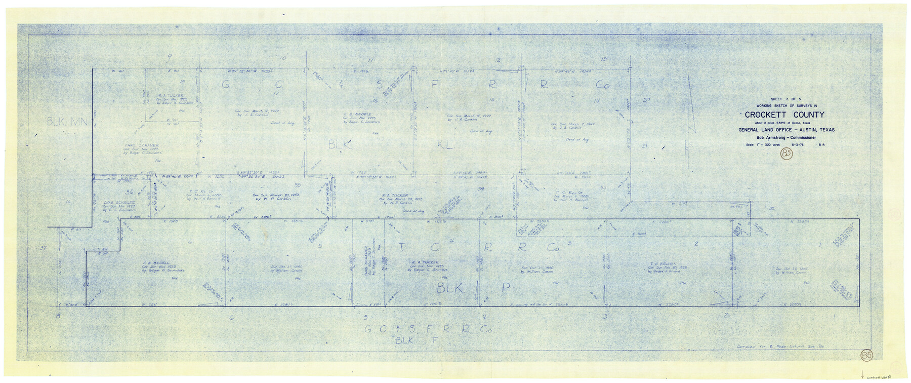
Crockett County Working Sketch 85
-
Map/Doc
68418
-
Collection
General Map Collection
-
Object Dates
5/3/1976 (Creation Date)
-
People and Organizations
Beverly Robison (Draftsman)
-
Counties
Crockett
-
Subjects
Surveying Working Sketch
-
Height x Width
23.4 x 54.8 inches
59.4 x 139.2 cm
-
Scale
1" = 300 varas
Part of: General Map Collection
Pecos County Working Sketch 88

Print $20.00
- Digital $50.00
Pecos County Working Sketch 88
1963
Size 34.5 x 27.5 inches
Map/Doc 71560

Wheeler County Boundary File 93

Print $64.00
- Digital $50.00
Wheeler County Boundary File 93
Size 9.4 x 5.1 inches
Map/Doc 59872
Upton County Rolled Sketch 16

Print $20.00
- Digital $50.00
Upton County Rolled Sketch 16
1927
Size 18.9 x 37.7 inches
Map/Doc 8071
Bandera County Rolled Sketch 6

Print $40.00
- Digital $50.00
Bandera County Rolled Sketch 6
Size 55.8 x 41.1 inches
Map/Doc 8439
Water-Shed of the Pease River Drainage Area

Print $6.00
- Digital $50.00
Water-Shed of the Pease River Drainage Area
Size 14.9 x 31.0 inches
Map/Doc 65102
Flight Mission No. CUG-3P, Frame 45, Kleberg County

Print $20.00
- Digital $50.00
Flight Mission No. CUG-3P, Frame 45, Kleberg County
1956
Size 18.4 x 22.1 inches
Map/Doc 86250
Stephens County Sketch File 15

Print $4.00
- Digital $50.00
Stephens County Sketch File 15
1890
Size 9.1 x 6.7 inches
Map/Doc 37068
Culberson County Working Sketch 60

Print $40.00
- Digital $50.00
Culberson County Working Sketch 60
1974
Size 74.7 x 32.7 inches
Map/Doc 68514
La table des isles neufues, lesquelles on appelle isles d'occident & d'Indie pour divers regardz

Print $20.00
- Digital $50.00
La table des isles neufues, lesquelles on appelle isles d'occident & d'Indie pour divers regardz
1552
Size 12.3 x 15.7 inches
Map/Doc 95836
Navarro County Working Sketch 1b

Print $20.00
- Digital $50.00
Navarro County Working Sketch 1b
Size 32.5 x 44.6 inches
Map/Doc 71230
Crockett County Rolled Sketch 46B

Print $20.00
- Digital $50.00
Crockett County Rolled Sketch 46B
1954
Size 24.7 x 13.9 inches
Map/Doc 5594
You may also like
Nolan County Rolled Sketch 3

Print $20.00
- Digital $50.00
Nolan County Rolled Sketch 3
Size 27.9 x 26.2 inches
Map/Doc 6864
Parker County Sketch File 30

Print $4.00
- Digital $50.00
Parker County Sketch File 30
Size 6.4 x 7.0 inches
Map/Doc 33570
![91458, [Capitol Land], Twichell Survey Records](https://historictexasmaps.com/wmedia_w700/maps/91458-1.tif.jpg)
Flight Mission No. DCL-6C, Frame 115, Kenedy County

Print $20.00
- Digital $50.00
Flight Mission No. DCL-6C, Frame 115, Kenedy County
1943
Size 18.5 x 22.4 inches
Map/Doc 85945
Gaines County Rolled Sketch 23

Print $20.00
- Digital $50.00
Gaines County Rolled Sketch 23
1963
Size 24.6 x 37.1 inches
Map/Doc 5938
Flight Mission No. BRE-3P, Frame 35, Nueces County

Print $20.00
- Digital $50.00
Flight Mission No. BRE-3P, Frame 35, Nueces County
1956
Size 18.5 x 21.1 inches
Map/Doc 86813
Wichita County

Print $20.00
- Digital $50.00
Wichita County
1889
Size 26.8 x 37.4 inches
Map/Doc 4144
R. S. Coon's Blue Creek Ranch, Moore County, Texas

Print $20.00
- Digital $50.00
R. S. Coon's Blue Creek Ranch, Moore County, Texas
Size 15.8 x 15.7 inches
Map/Doc 91487
League 206 Ochiltree County School Land

Print $20.00
- Digital $50.00
League 206 Ochiltree County School Land
Size 19.6 x 23.9 inches
Map/Doc 92479
Outer Continental Shelf Leasing Maps (Texas Offshore Operations)

Print $20.00
- Digital $50.00
Outer Continental Shelf Leasing Maps (Texas Offshore Operations)
Size 17.6 x 13.8 inches
Map/Doc 75844
Mason County Sketch File 2

Print $22.00
- Digital $50.00
Mason County Sketch File 2
1847
Size 8.0 x 14.2 inches
Map/Doc 30680
Map of Bowie County

Print $20.00
- Digital $50.00
Map of Bowie County
1862
Size 20.0 x 23.5 inches
Map/Doc 3317