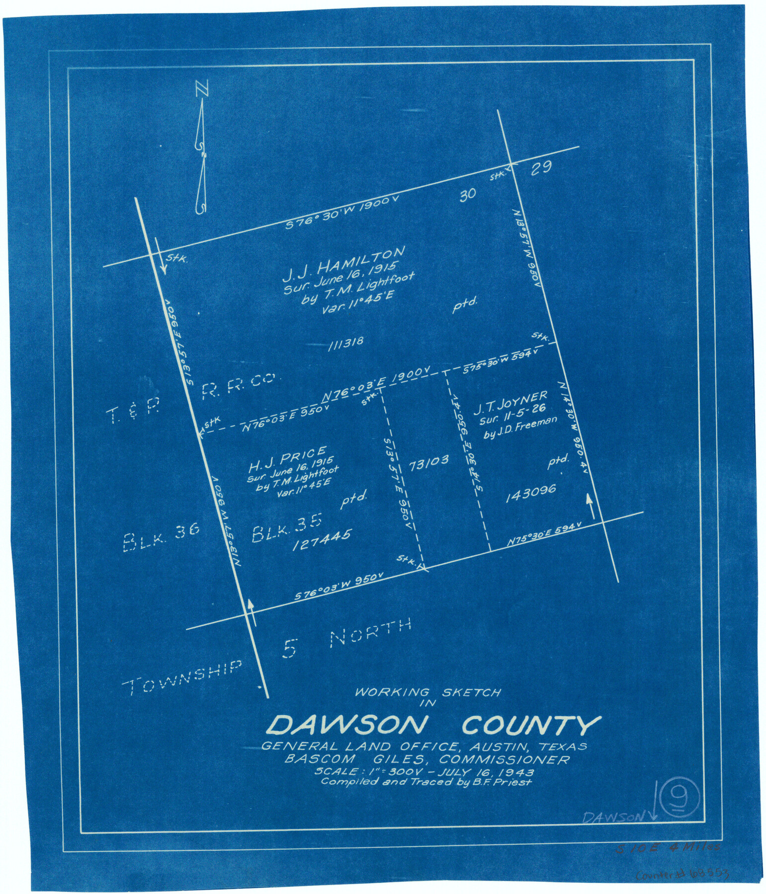
Dawson County Working Sketch 9
-
Map/Doc
68553
-
Collection
General Map Collection
-
Object Dates
7/16/1943 (Creation Date)
-
People and Organizations
B.F. Priest (Draftsman)
-
Counties
Dawson
-
Subjects
Surveying Working Sketch
-
Height x Width
15.2 x 13.0 inches
38.6 x 33.0 cm
-
Scale
1" = 300 varas
Part of: General Map Collection
Harris County Sketch File 20

Print $6.00
- Digital $50.00
Harris County Sketch File 20
1862
Size 8.6 x 7.9 inches
Map/Doc 25368
Flight Mission No. DCL-7C, Frame 20, Kenedy County

Print $20.00
- Digital $50.00
Flight Mission No. DCL-7C, Frame 20, Kenedy County
1943
Size 15.5 x 15.1 inches
Map/Doc 86012
Titus County Sketch File 4

Print $4.00
- Digital $50.00
Titus County Sketch File 4
Size 8.2 x 10.2 inches
Map/Doc 38136
Bastrop County Boundary File 1

Print $4.00
- Digital $50.00
Bastrop County Boundary File 1
Size 12.6 x 8.3 inches
Map/Doc 50313
Reagan County Working Sketch 44

Print $20.00
- Digital $50.00
Reagan County Working Sketch 44
1987
Size 25.2 x 37.1 inches
Map/Doc 71886
Fort Bend County Sketch File 35

Print $4.00
- Digital $50.00
Fort Bend County Sketch File 35
Size 11.5 x 7.3 inches
Map/Doc 23005
Flight Mission No. CRC-6R, Frame 13, Chambers County

Print $20.00
- Digital $50.00
Flight Mission No. CRC-6R, Frame 13, Chambers County
1956
Size 18.6 x 22.3 inches
Map/Doc 84967
Briscoe County

Print $20.00
- Digital $50.00
Briscoe County
1930
Size 42.3 x 35.8 inches
Map/Doc 95439
Chambers County Aerial Photograph Index Sheet 5

Print $20.00
- Digital $50.00
Chambers County Aerial Photograph Index Sheet 5
1956
Size 18.2 x 15.8 inches
Map/Doc 83686
Shelby County Working Sketch 20

Print $20.00
- Digital $50.00
Shelby County Working Sketch 20
1970
Size 28.0 x 22.8 inches
Map/Doc 63873
Roberts County Working Sketch 14

Print $20.00
- Digital $50.00
Roberts County Working Sketch 14
1975
Size 23.1 x 24.6 inches
Map/Doc 63540
Orange County Working Sketch 10

Print $20.00
- Digital $50.00
Orange County Working Sketch 10
1922
Size 24.2 x 38.6 inches
Map/Doc 71342
You may also like
Goliad County Sketch File 12

Print $18.00
- Digital $50.00
Goliad County Sketch File 12
1857
Size 12.9 x 7.9 inches
Map/Doc 24230
Childress County Sketch File 17

Print $8.00
- Digital $50.00
Childress County Sketch File 17
Size 13.0 x 8.2 inches
Map/Doc 18286
Bell County Working Sketch 16

Print $20.00
- Digital $50.00
Bell County Working Sketch 16
1983
Size 46.5 x 35.4 inches
Map/Doc 67356
South Part Pecos County

Print $20.00
- Digital $50.00
South Part Pecos County
1976
Size 36.8 x 44.2 inches
Map/Doc 73262
[Subdivision of Nueces Bay and list of Court Decrees]
![2086, [Subdivision of Nueces Bay and list of Court Decrees], General Map Collection](https://historictexasmaps.com/wmedia_w700/maps/2086-1.tif.jpg)
Print $40.00
- Digital $50.00
[Subdivision of Nueces Bay and list of Court Decrees]
1940
Size 34.2 x 48.8 inches
Map/Doc 2086
[Surveys in Austin's Colony along Buffalo Bayou and the San Jacinto River]
![207, [Surveys in Austin's Colony along Buffalo Bayou and the San Jacinto River], General Map Collection](https://historictexasmaps.com/wmedia_w700/maps/207.tif.jpg)
Print $20.00
- Digital $50.00
[Surveys in Austin's Colony along Buffalo Bayou and the San Jacinto River]
1824
Size 22.3 x 14.3 inches
Map/Doc 207
Caddo Lake Subdivision, Copied from Sketch in MF 000964

Print $20.00
- Digital $50.00
Caddo Lake Subdivision, Copied from Sketch in MF 000964
1918
Size 32.5 x 28.0 inches
Map/Doc 1929
[Pecos and Northern Texas Ry., Bailey Co., from Parmer Co. line through Lariat and Muleshoe to Lamb Co. line]
![64636, [Pecos and Northern Texas Ry., Bailey Co., from Parmer Co. line through Lariat and Muleshoe to Lamb Co. line], General Map Collection](https://historictexasmaps.com/wmedia_w700/maps/64636.tif.jpg)
Print $40.00
- Digital $50.00
[Pecos and Northern Texas Ry., Bailey Co., from Parmer Co. line through Lariat and Muleshoe to Lamb Co. line]
1912
Size 20.3 x 121.9 inches
Map/Doc 64636
Map of the Northwest Portion of Hutchinson County Showing the Proposed Resurvey of Block M24

Print $20.00
- Digital $50.00
Map of the Northwest Portion of Hutchinson County Showing the Proposed Resurvey of Block M24
Size 32.4 x 30.1 inches
Map/Doc 91237
Concho County Rolled Sketch 51

Print $20.00
- Digital $50.00
Concho County Rolled Sketch 51
1967
Size 31.0 x 25.5 inches
Map/Doc 5559
Floyd County Working Sketch 7

Print $20.00
- Digital $50.00
Floyd County Working Sketch 7
1922
Size 14.4 x 17.9 inches
Map/Doc 69186
Lampasas County Working Sketch 7

Print $20.00
- Digital $50.00
Lampasas County Working Sketch 7
1951
Size 30.7 x 36.3 inches
Map/Doc 70284