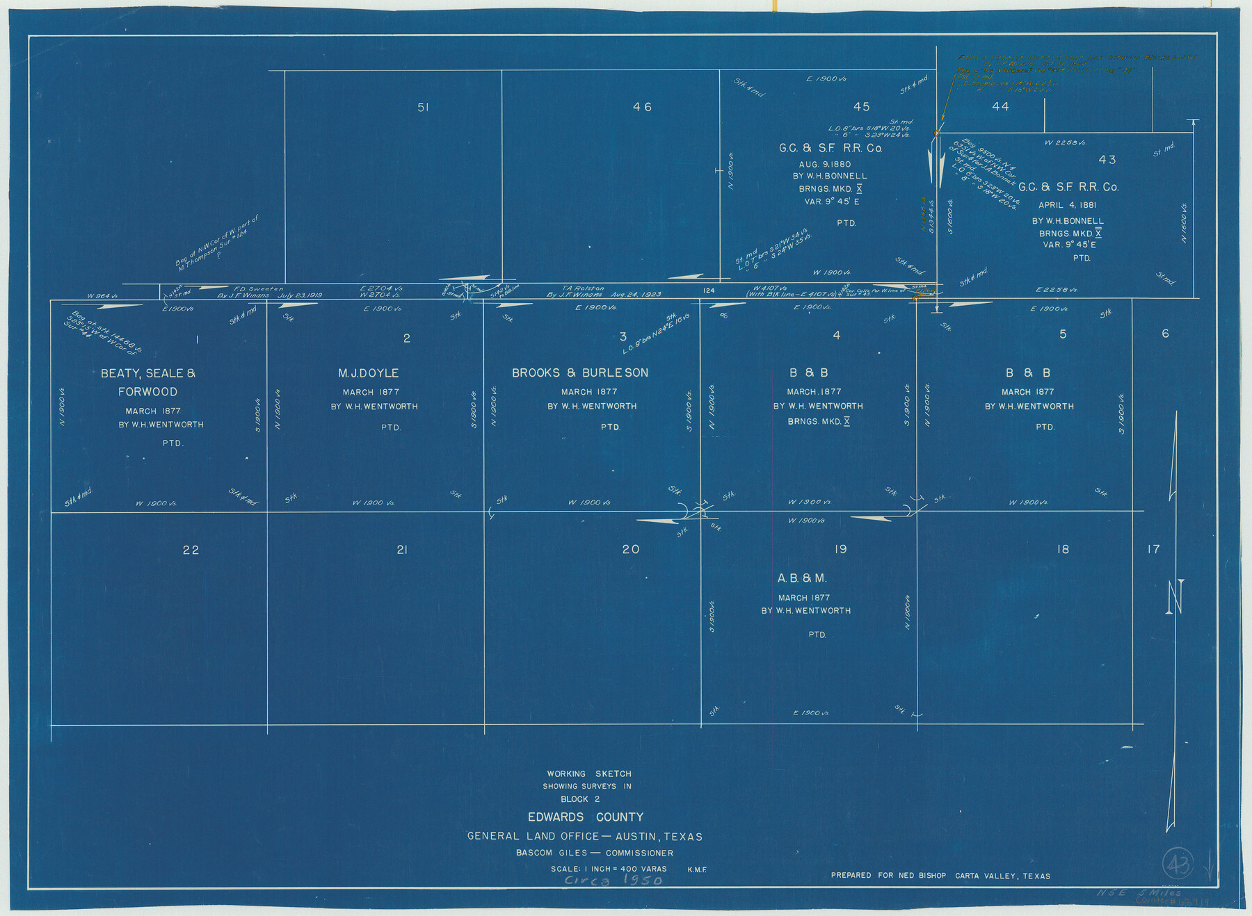
Edwards County Working Sketch 43
-
Map/Doc
68919
-
Collection
General Map Collection
-
Object Dates
[1950 ca.] (Creation Date)
-
Counties
Edwards
-
Subjects
Surveying Working Sketch
-
Height x Width
20.3 x 27.7 inches
51.6 x 70.4 cm
-
Scale
1" = 400 varas
Part of: General Map Collection
McMullen County Working Sketch 42

Print $20.00
- Digital $50.00
McMullen County Working Sketch 42
1980
Size 35.6 x 32.6 inches
Map/Doc 70743
Flight Mission No. CUG-1P, Frame 108, Kleberg County

Print $20.00
- Digital $50.00
Flight Mission No. CUG-1P, Frame 108, Kleberg County
1956
Size 18.6 x 22.2 inches
Map/Doc 86158
Jasper County Working Sketch 27

Print $20.00
- Digital $50.00
Jasper County Working Sketch 27
1954
Size 38.3 x 19.4 inches
Map/Doc 66489
Grayson County Sketch File 1

Print $2.00
- Digital $50.00
Grayson County Sketch File 1
1854
Size 8.4 x 3.3 inches
Map/Doc 24459
La Salle County Rolled Sketch 10

Print $40.00
- Digital $50.00
La Salle County Rolled Sketch 10
1945
Size 48.1 x 33.5 inches
Map/Doc 6573
Hidalgo County Sketch File 10

Print $20.00
- Digital $50.00
Hidalgo County Sketch File 10
1911
Size 16.3 x 34.8 inches
Map/Doc 11762
T. & N. O. R.R. Jefferson Co. North

Print $20.00
- Digital $50.00
T. & N. O. R.R. Jefferson Co. North
1917
Size 13.4 x 33.5 inches
Map/Doc 64058
Flight Mission No. CRE-3R, Frame 39, Jackson County

Print $20.00
- Digital $50.00
Flight Mission No. CRE-3R, Frame 39, Jackson County
1956
Size 18.6 x 22.2 inches
Map/Doc 85386
Flight Mission No. DAG-17K, Frame 124, Matagorda County

Print $20.00
- Digital $50.00
Flight Mission No. DAG-17K, Frame 124, Matagorda County
1952
Size 18.6 x 22.3 inches
Map/Doc 86344
Val Verde County Working Sketch 72

Print $20.00
- Digital $50.00
Val Verde County Working Sketch 72
1967
Size 19.6 x 23.0 inches
Map/Doc 72207
Jim Wells Co.

Print $20.00
- Digital $50.00
Jim Wells Co.
1966
Size 42.7 x 31.0 inches
Map/Doc 73198
Travis County Sketch File 69A

Print $20.00
- Digital $50.00
Travis County Sketch File 69A
Size 18.0 x 20.9 inches
Map/Doc 12476
You may also like
Real County Working Sketch 68

Print $20.00
- Digital $50.00
Real County Working Sketch 68
1973
Size 21.9 x 24.4 inches
Map/Doc 71960
Angelina County Working Sketch 32b

Print $20.00
- Digital $50.00
Angelina County Working Sketch 32b
1955
Size 23.0 x 28.6 inches
Map/Doc 67115


Orange County Working Sketch 47

Print $20.00
- Digital $50.00
Orange County Working Sketch 47
1987
Size 27.5 x 26.5 inches
Map/Doc 71379
Kinney County Working Sketch 21

Print $20.00
- Digital $50.00
Kinney County Working Sketch 21
1950
Size 23.7 x 18.5 inches
Map/Doc 70203
Flight Mission No. CRK-7P, Frame 78, Refugio County

Print $20.00
- Digital $50.00
Flight Mission No. CRK-7P, Frame 78, Refugio County
1956
Size 18.2 x 22.0 inches
Map/Doc 86949
Kent County Sketch File 4

Print $20.00
- Digital $50.00
Kent County Sketch File 4
Size 27.5 x 28.3 inches
Map/Doc 11912
Matagorda County NRC Article 33.136 Sketch 4

Print $28.00
- Digital $50.00
Matagorda County NRC Article 33.136 Sketch 4
2008
Size 31.0 x 36.5 inches
Map/Doc 89036
Houston County Rolled Sketch 4

Print $40.00
- Digital $50.00
Houston County Rolled Sketch 4
Size 42.2 x 52.1 inches
Map/Doc 9181
Section 160, Block G, Gaines County, Texas

Print $20.00
- Digital $50.00
Section 160, Block G, Gaines County, Texas
1958
Size 17.1 x 19.3 inches
Map/Doc 92679
Brewster County Sketch File 53

Print $94.00
- Digital $50.00
Brewster County Sketch File 53
1910
Size 13.3 x 8.9 inches
Map/Doc 16361