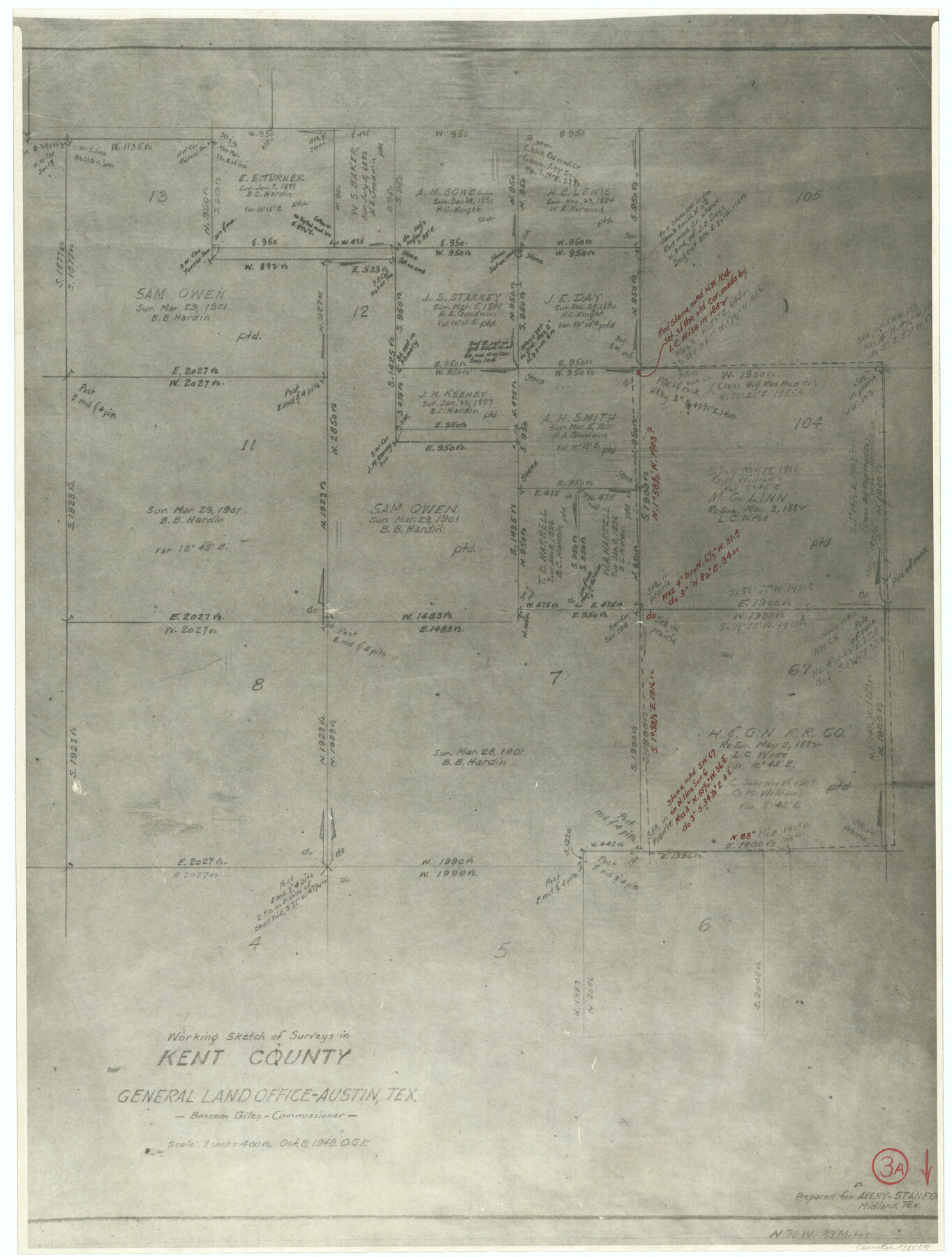
Kent County Working Sketch 3a
-
Map/Doc
70009
-
Collection
General Map Collection
-
Object Dates
10/8/1948 (Creation Date)
-
People and Organizations
Otto G. Kurio (Draftsman)
-
Counties
Kent
-
Subjects
Surveying Working Sketch
-
Height x Width
24.5 x 18.6 inches
62.2 x 47.2 cm
-
Scale
1" = 400 varas
Part of: General Map Collection
Reagan County Working Sketch 41

Print $20.00
- Digital $50.00
Reagan County Working Sketch 41
1973
Size 28.6 x 38.9 inches
Map/Doc 71883
Millennium in Maps - Exploration

Millennium in Maps - Exploration
Size 20.6 x 31.5 inches
Map/Doc 95931
Henderson County Rolled Sketch 12

Print $20.00
- Digital $50.00
Henderson County Rolled Sketch 12
1980
Size 22.8 x 19.1 inches
Map/Doc 6204

Harris County Rolled Sketch 83

Print $20.00
- Digital $50.00
Harris County Rolled Sketch 83
1958
Size 28.2 x 45.6 inches
Map/Doc 9139
Map of Brazoria

Print $20.00
- Digital $50.00
Map of Brazoria
1863
Size 27.4 x 27.3 inches
Map/Doc 1013
Lee County Rolled Sketch 2

Print $20.00
- Digital $50.00
Lee County Rolled Sketch 2
1976
Size 25.9 x 34.4 inches
Map/Doc 6593
Presidio County Rolled Sketch 101

Print $20.00
- Digital $50.00
Presidio County Rolled Sketch 101
1954
Size 25.3 x 33.4 inches
Map/Doc 7383
Sterling County Rolled Sketch 32

Print $20.00
- Digital $50.00
Sterling County Rolled Sketch 32
Size 17.9 x 29.4 inches
Map/Doc 7856
Amistad International Reservoir on Rio Grande 108

Print $20.00
- Digital $50.00
Amistad International Reservoir on Rio Grande 108
1950
Size 28.5 x 40.9 inches
Map/Doc 75539
Sutton County Working Sketch 50

Print $20.00
- Digital $50.00
Sutton County Working Sketch 50
1955
Size 27.4 x 22.2 inches
Map/Doc 62393
Edwards County Rolled Sketch 23

Print $20.00
- Digital $50.00
Edwards County Rolled Sketch 23
1952
Size 26.3 x 34.7 inches
Map/Doc 8846
You may also like
Clay County Sketch File 36

Print $3.00
- Digital $50.00
Clay County Sketch File 36
Size 17.0 x 11.0 inches
Map/Doc 18464
Fractional Township No. 8 South Range No. 11 East of the Indian Meridian, Indian Territory

Print $20.00
- Digital $50.00
Fractional Township No. 8 South Range No. 11 East of the Indian Meridian, Indian Territory
1898
Size 19.2 x 24.3 inches
Map/Doc 75221
Duval County Working Sketch 15

Print $20.00
- Digital $50.00
Duval County Working Sketch 15
1938
Size 23.3 x 22.7 inches
Map/Doc 68728
Gillespie County

Print $20.00
- Digital $50.00
Gillespie County
1945
Size 36.7 x 45.6 inches
Map/Doc 77289
Harris County Rolled Sketch 65

Print $40.00
- Digital $50.00
Harris County Rolled Sketch 65
1922
Size 41.6 x 68.5 inches
Map/Doc 9128
Hamilton County Rolled Sketch 13

Print $20.00
- Digital $50.00
Hamilton County Rolled Sketch 13
1982
Size 34.0 x 28.0 inches
Map/Doc 6062
Live Oak County Sketch File 28

Print $10.00
- Digital $50.00
Live Oak County Sketch File 28
1922
Size 14.3 x 8.5 inches
Map/Doc 30314
[Worksheets related to the Wilson Strickland survey and vicinity]
![91268, [Vicinity and related to the Wilson Strickland Survey], Twichell Survey Records](https://historictexasmaps.com/wmedia_w700/maps/91268-1.tif.jpg)
Print $20.00
- Digital $50.00
[Worksheets related to the Wilson Strickland survey and vicinity]
Size 21.1 x 18.9 inches
Map/Doc 91268
Leon County Working Sketch 14

Print $40.00
- Digital $50.00
Leon County Working Sketch 14
1956
Size 48.8 x 34.5 inches
Map/Doc 70413
Glasscock County Working Sketch 1

Print $20.00
- Digital $50.00
Glasscock County Working Sketch 1
Size 26.6 x 43.0 inches
Map/Doc 63174

Rains County Sketch File 4

Print $4.00
- Digital $50.00
Rains County Sketch File 4
1853
Size 11.2 x 8.7 inches
Map/Doc 34951