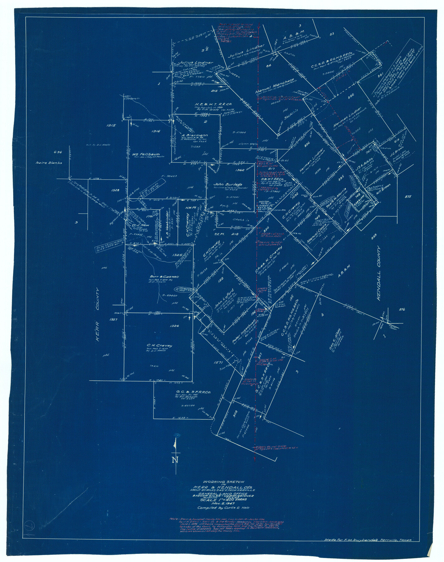
Kerr County Working Sketch 7
-
Map/Doc
70038
-
Collection
General Map Collection
-
Object Dates
11/5/1947 (Creation Date)
-
People and Organizations
Curtis R. Hale (Compiler)
-
Counties
Kerr Kendall
-
Subjects
Surveying Working Sketch
-
Height x Width
38.9 x 30.8 inches
98.8 x 78.2 cm
-
Scale
1" = 400 varas
Part of: General Map Collection
Orange County Rolled Sketch 13

Print $20.00
- Digital $50.00
Orange County Rolled Sketch 13
Size 19.0 x 24.2 inches
Map/Doc 7180
Red River County Working Sketch 16

Print $20.00
- Digital $50.00
Red River County Working Sketch 16
1953
Size 21.8 x 23.4 inches
Map/Doc 71999
Brazoria County Sketch File 6a

Print $40.00
- Digital $50.00
Brazoria County Sketch File 6a
1862
Size 17.6 x 12.6 inches
Map/Doc 10949
Rusk County Sketch File 29

Print $8.00
Rusk County Sketch File 29
1949
Size 11.3 x 8.7 inches
Map/Doc 35554
Harris County Sketch File 31a

Print $20.00
- Digital $50.00
Harris County Sketch File 31a
1895
Size 12.8 x 21.9 inches
Map/Doc 11650
Williamson County Sketch File 15

Print $4.00
- Digital $50.00
Williamson County Sketch File 15
Size 10.0 x 8.0 inches
Map/Doc 40334
Fayette County Working Sketch 2

Print $20.00
- Digital $50.00
Fayette County Working Sketch 2
1979
Size 40.6 x 37.8 inches
Map/Doc 69166
Flight Mission No. CGI-1N, Frame 167, Cameron County

Print $20.00
- Digital $50.00
Flight Mission No. CGI-1N, Frame 167, Cameron County
1955
Size 18.6 x 22.3 inches
Map/Doc 84502
Montague County

Print $20.00
- Digital $50.00
Montague County
1924
Size 46.4 x 33.7 inches
Map/Doc 77376
[San Antonio & Aransas Pass Ry. from Lockhart to Caldwell-Gonzales County line]
![64259, [San Antonio & Aransas Pass Ry. from Lockhart to Caldwell-Gonzales County line], General Map Collection](https://historictexasmaps.com/wmedia_w700/maps/64259.tif.jpg)
Print $40.00
- Digital $50.00
[San Antonio & Aransas Pass Ry. from Lockhart to Caldwell-Gonzales County line]
1895
Size 53.6 x 15.1 inches
Map/Doc 64259
Calhoun County NRC Article 33.136 Sketch 11

Digital $50.00
Calhoun County NRC Article 33.136 Sketch 11
2023
Map/Doc 97255
Dickens County Sketch File 22

Print $8.00
- Digital $50.00
Dickens County Sketch File 22
1913
Size 11.2 x 9.1 inches
Map/Doc 20985
You may also like
Brazoria County Working Sketch 14

Print $20.00
- Digital $50.00
Brazoria County Working Sketch 14
1940
Size 33.6 x 43.9 inches
Map/Doc 67499
Presidio County Sketch File 35B

Print $20.00
- Digital $50.00
Presidio County Sketch File 35B
1906
Size 11.8 x 20.7 inches
Map/Doc 11714
Chambers County Aerial Photograph Index Sheet 6

Print $20.00
- Digital $50.00
Chambers County Aerial Photograph Index Sheet 6
1956
Size 19.4 x 15.2 inches
Map/Doc 83687
Pecos County Sketch File 51

Print $16.00
- Digital $50.00
Pecos County Sketch File 51
1881
Size 12.8 x 8.4 inches
Map/Doc 33773
[Sections 58-63, I. & G. N. Block 1 and adjacent area]
![91614, [Sections 58-63, I. & G. N. Block 1 and adjacent area], Twichell Survey Records](https://historictexasmaps.com/wmedia_w700/maps/91614-1.tif.jpg)
Print $20.00
- Digital $50.00
[Sections 58-63, I. & G. N. Block 1 and adjacent area]
Size 21.3 x 14.4 inches
Map/Doc 91614
Edwards County Working Sketch 21

Print $20.00
- Digital $50.00
Edwards County Working Sketch 21
1935
Size 26.7 x 32.0 inches
Map/Doc 68897
Udell -V- Hughes Sketch

Print $20.00
- Digital $50.00
Udell -V- Hughes Sketch
Size 28.8 x 19.4 inches
Map/Doc 90481
Flight Mission No. DCL-7C, Frame 74, Kenedy County

Print $20.00
- Digital $50.00
Flight Mission No. DCL-7C, Frame 74, Kenedy County
1943
Size 15.4 x 15.1 inches
Map/Doc 86060
Working Sketch Crosby, Garza, Lynn, and Lubbock Counties

Print $20.00
- Digital $50.00
Working Sketch Crosby, Garza, Lynn, and Lubbock Counties
1904
Size 34.3 x 36.4 inches
Map/Doc 92695
Flight Mission No. DQN-2K, Frame 40, Calhoun County

Print $20.00
- Digital $50.00
Flight Mission No. DQN-2K, Frame 40, Calhoun County
1953
Size 18.6 x 22.2 inches
Map/Doc 84245
Colonial Texas. 1822 to 1834.

Print $20.00
- Digital $50.00
Colonial Texas. 1822 to 1834.
1897
Size 12.8 x 16.3 inches
Map/Doc 93410
United States - Gulf Coast - From Latitude 26° 33' to the Rio Grande Texas

Print $20.00
- Digital $50.00
United States - Gulf Coast - From Latitude 26° 33' to the Rio Grande Texas
1916
Size 27.8 x 18.3 inches
Map/Doc 72837