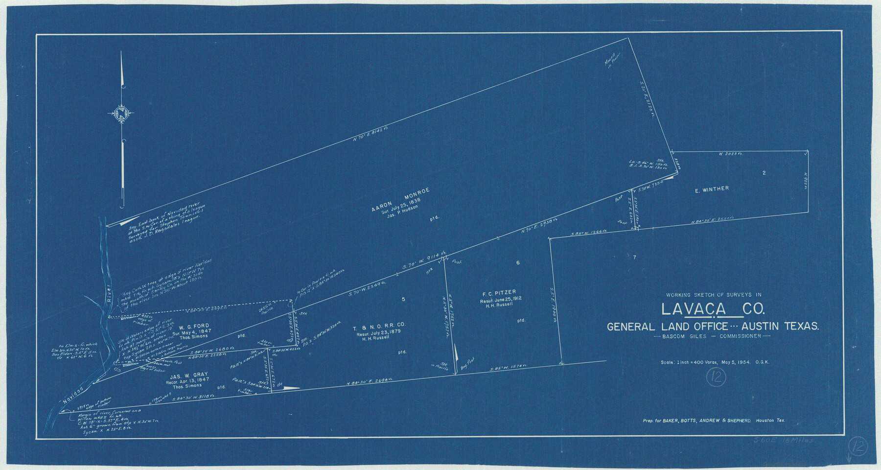
Lavaca County Working Sketch 12
-
Map/Doc
70365
-
Collection
General Map Collection
-
Object Dates
5/5/1954 (Creation Date)
-
People and Organizations
Otto G. Kurio (Draftsman)
-
Counties
Lavaca
-
Subjects
Surveying Working Sketch
-
Height x Width
17.3 x 32.4 inches
43.9 x 82.3 cm
-
Scale
1" = 400 varas
Part of: General Map Collection
Moore County Rolled Sketch 11

Print $20.00
- Digital $50.00
Moore County Rolled Sketch 11
Size 34.1 x 43.0 inches
Map/Doc 9549
Houston Ship Channel, Alexander Island to Carpenter Bayou

Print $40.00
- Digital $50.00
Houston Ship Channel, Alexander Island to Carpenter Bayou
1982
Size 35.7 x 49.4 inches
Map/Doc 69914
Scurry County Rolled Sketch 14

Print $20.00
- Digital $50.00
Scurry County Rolled Sketch 14
2016
Size 23.4 x 41.4 inches
Map/Doc 95404
Freestone County Rolled Sketch 11

Print $20.00
- Digital $50.00
Freestone County Rolled Sketch 11
Size 23.3 x 33.9 inches
Map/Doc 5912
Flight Mission No. DQO-8K, Frame 133, Galveston County

Print $20.00
- Digital $50.00
Flight Mission No. DQO-8K, Frame 133, Galveston County
1952
Size 18.8 x 22.5 inches
Map/Doc 85198
Flight Mission No. DAG-21K, Frame 90, Matagorda County

Print $20.00
- Digital $50.00
Flight Mission No. DAG-21K, Frame 90, Matagorda County
1952
Size 18.5 x 22.2 inches
Map/Doc 86419

Map of the County of Nueces

Print $20.00
- Digital $50.00
Map of the County of Nueces
1859
Size 39.3 x 39.6 inches
Map/Doc 78391
Brooks County Rolled Sketch 11A

Print $20.00
- Digital $50.00
Brooks County Rolled Sketch 11A
1906
Size 18.1 x 24.6 inches
Map/Doc 76060
Middle Sulphur and South Sulphur Rivers, Horton Sheet

Print $20.00
- Digital $50.00
Middle Sulphur and South Sulphur Rivers, Horton Sheet
1925
Size 42.2 x 40.3 inches
Map/Doc 65171
St. Louis, Brownsville & Mexico Railway Location Map from Mile 20 to Mile 40

Print $40.00
- Digital $50.00
St. Louis, Brownsville & Mexico Railway Location Map from Mile 20 to Mile 40
1906
Size 19.3 x 67.5 inches
Map/Doc 64077
Flight Mission No. DCL-7C, Frame 6, Kenedy County

Print $20.00
- Digital $50.00
Flight Mission No. DCL-7C, Frame 6, Kenedy County
1943
Size 15.5 x 15.4 inches
Map/Doc 85998
You may also like
Sketch of Roll Number for Copy of Original Field Notes Texas & Pacific Railway Reservation

Print $3.00
- Digital $50.00
Sketch of Roll Number for Copy of Original Field Notes Texas & Pacific Railway Reservation
Size 17.4 x 10.0 inches
Map/Doc 92026
Flight Mission No. CGI-2N, Frame 155, Cameron County

Print $20.00
- Digital $50.00
Flight Mission No. CGI-2N, Frame 155, Cameron County
1954
Size 18.5 x 22.1 inches
Map/Doc 84537

Mills County Sketch File 18

Print $4.00
- Digital $50.00
Mills County Sketch File 18
1872
Size 12.1 x 8.1 inches
Map/Doc 31668
Ward County Rolled Sketch 24B

Print $40.00
- Digital $50.00
Ward County Rolled Sketch 24B
1967
Size 24.7 x 56.4 inches
Map/Doc 10115
Parker County Working Sketch 15

Print $20.00
- Digital $50.00
Parker County Working Sketch 15
1982
Map/Doc 71465
Liberty County Working Sketch 85

Print $20.00
- Digital $50.00
Liberty County Working Sketch 85
1987
Size 27.2 x 28.3 inches
Map/Doc 70545
Cherokee County Sketch File 23

Print $20.00
- Digital $50.00
Cherokee County Sketch File 23
1922
Size 12.8 x 18.5 inches
Map/Doc 11073
Jefferson County Rolled Sketch 39

Print $20.00
- Digital $50.00
Jefferson County Rolled Sketch 39
1885
Size 31.2 x 33.9 inches
Map/Doc 9299
Duval County Sketch File 6c

Print $5.00
- Digital $50.00
Duval County Sketch File 6c
1875
Size 8.2 x 11.0 inches
Map/Doc 21292
[Aransas Bay]
![72970, [Aransas Bay], General Map Collection](https://historictexasmaps.com/wmedia_w700/maps/72970.tif.jpg)
Print $20.00
- Digital $50.00
[Aransas Bay]
1846
Size 24.3 x 18.3 inches
Map/Doc 72970
Flight Mission No. BQY-4M, Frame 124, Harris County

Print $20.00
- Digital $50.00
Flight Mission No. BQY-4M, Frame 124, Harris County
1953
Size 18.7 x 22.4 inches
Map/Doc 85292