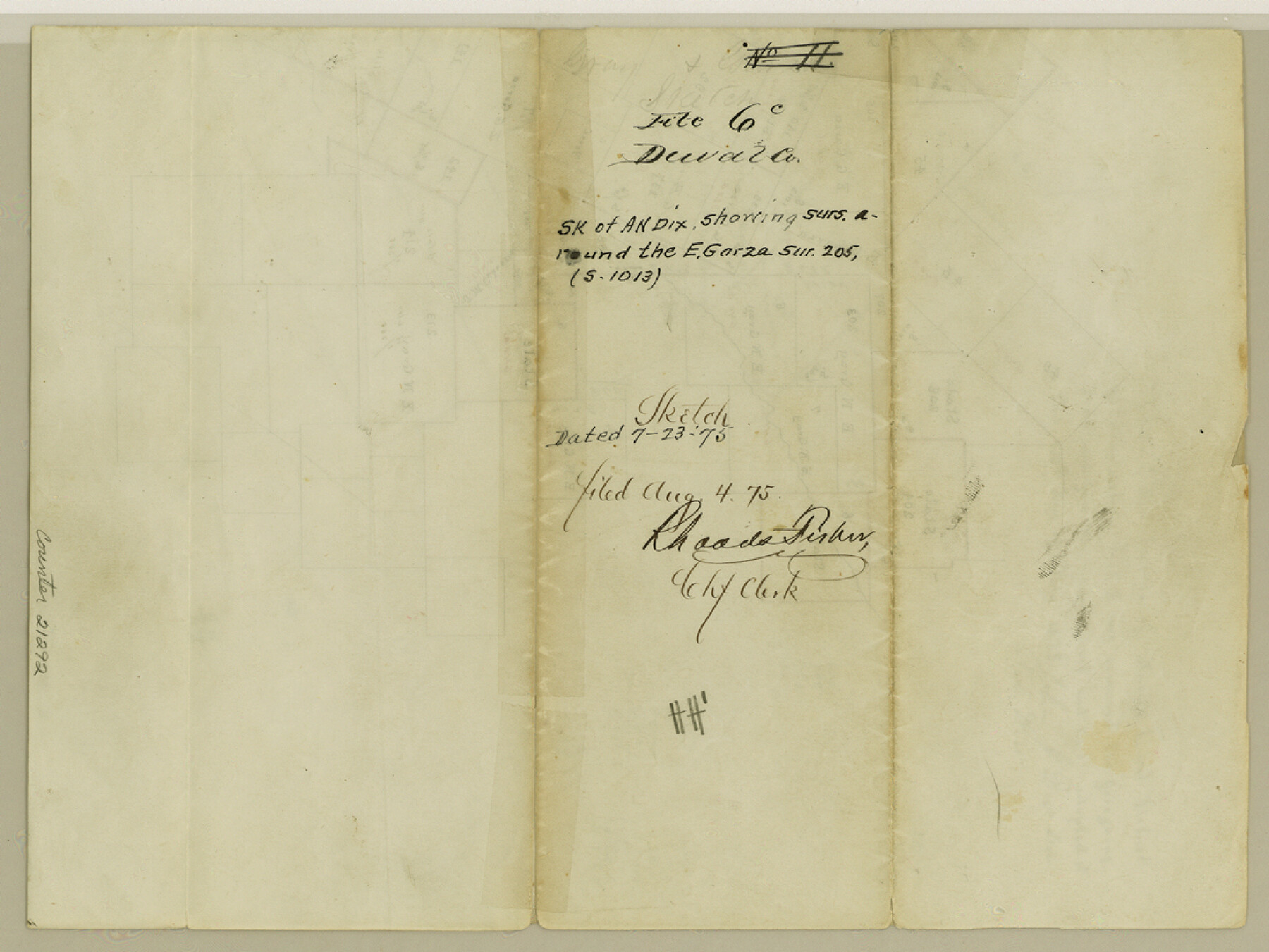
Duval County Sketch File 6c
[Sketch showing surveys around the E. Garza survey 205]
-
Map/Doc
21292
-
Collection
General Map Collection
-
Object Dates
1875/7/23 (Creation Date)
1875/8/4 (File Date)
-
People and Organizations
John J. Dix (Surveyor/Engineer)
-
Counties
Duval
-
Subjects
Surveying Sketch File
-
Height x Width
8.2 x 11.0 inches
20.8 x 27.9 cm
-
Medium
paper, manuscript
-
Scale
1" = 2000 varas
Part of: General Map Collection
Trinity County Rolled Sketch 8

Print $20.00
- Digital $50.00
Trinity County Rolled Sketch 8
Size 44.2 x 35.4 inches
Map/Doc 83177
Lavaca County Working Sketch 18

Print $20.00
- Digital $50.00
Lavaca County Working Sketch 18
1979
Size 37.0 x 20.3 inches
Map/Doc 70371
Mitchell County

Print $20.00
- Digital $50.00
Mitchell County
1971
Size 42.6 x 36.0 inches
Map/Doc 73242
Kendall County Working Sketch 16

Print $20.00
- Digital $50.00
Kendall County Working Sketch 16
1967
Size 28.0 x 29.1 inches
Map/Doc 66688
Terrell County Sketch File 4

Print $12.00
- Digital $50.00
Terrell County Sketch File 4
1881
Map/Doc 12417
Borden County Working Sketch 13

Print $20.00
- Digital $50.00
Borden County Working Sketch 13
1958
Size 24.1 x 35.6 inches
Map/Doc 67473
Leon County Sketch File 8

Print $4.00
- Digital $50.00
Leon County Sketch File 8
1862
Size 12.8 x 8.3 inches
Map/Doc 29724
Reagan County Working Sketch 1

Print $20.00
- Digital $50.00
Reagan County Working Sketch 1
1886
Size 25.0 x 27.3 inches
Map/Doc 71841
Gray County Boundary File 4

Print $34.00
- Digital $50.00
Gray County Boundary File 4
Size 11.4 x 8.9 inches
Map/Doc 53876
Comanche County Sketch File 21

Print $20.00
- Digital $50.00
Comanche County Sketch File 21
Size 18.3 x 20.2 inches
Map/Doc 11143
Crockett County Working Sketch 6

Print $20.00
- Digital $50.00
Crockett County Working Sketch 6
Size 20.7 x 21.7 inches
Map/Doc 68339
Flight Mission No. DQN-6K, Frame 10, Calhoun County

Print $20.00
- Digital $50.00
Flight Mission No. DQN-6K, Frame 10, Calhoun County
1953
Size 18.5 x 22.3 inches
Map/Doc 84432
You may also like
The Republic County of Bastrop. December 29, 1845

Print $20.00
The Republic County of Bastrop. December 29, 1845
2020
Size 14.8 x 21.7 inches
Map/Doc 96092
Refugio County NRC Article 33.136 Sketch 3

Print $3.00
- Digital $50.00
Refugio County NRC Article 33.136 Sketch 3
2005
Size 11.2 x 17.3 inches
Map/Doc 83013
Flight Mission No. DAG-21K, Frame 33, Matagorda County

Print $20.00
- Digital $50.00
Flight Mission No. DAG-21K, Frame 33, Matagorda County
1952
Size 18.5 x 22.3 inches
Map/Doc 86400
Lipscomb County Working Sketch 4

Print $40.00
- Digital $50.00
Lipscomb County Working Sketch 4
1974
Size 51.7 x 43.8 inches
Map/Doc 70580
Ellis County, Texas

Print $20.00
- Digital $50.00
Ellis County, Texas
1879
Size 21.2 x 29.6 inches
Map/Doc 714
Map of Houston, Harris County, Texas

Print $20.00
- Digital $50.00
Map of Houston, Harris County, Texas
1900
Size 38.5 x 32.0 inches
Map/Doc 93390

Dallas County Sketch File 6

Print $20.00
- Digital $50.00
Dallas County Sketch File 6
1850
Size 19.9 x 25.1 inches
Map/Doc 11283
Floyd County Sketch File 30

Print $20.00
- Digital $50.00
Floyd County Sketch File 30
Size 12.6 x 33.9 inches
Map/Doc 11489
Hardeman County Aerial Photograph Index Sheet 4

Print $20.00
- Digital $50.00
Hardeman County Aerial Photograph Index Sheet 4
1950
Size 20.3 x 17.0 inches
Map/Doc 83700
Revised map of the State of Texas

Print $20.00
- Digital $50.00
Revised map of the State of Texas
1876
Size 19.6 x 19.7 inches
Map/Doc 95755
Webb County Rolled Sketch 73

Print $20.00
- Digital $50.00
Webb County Rolled Sketch 73
1982
Size 33.2 x 17.2 inches
Map/Doc 8221