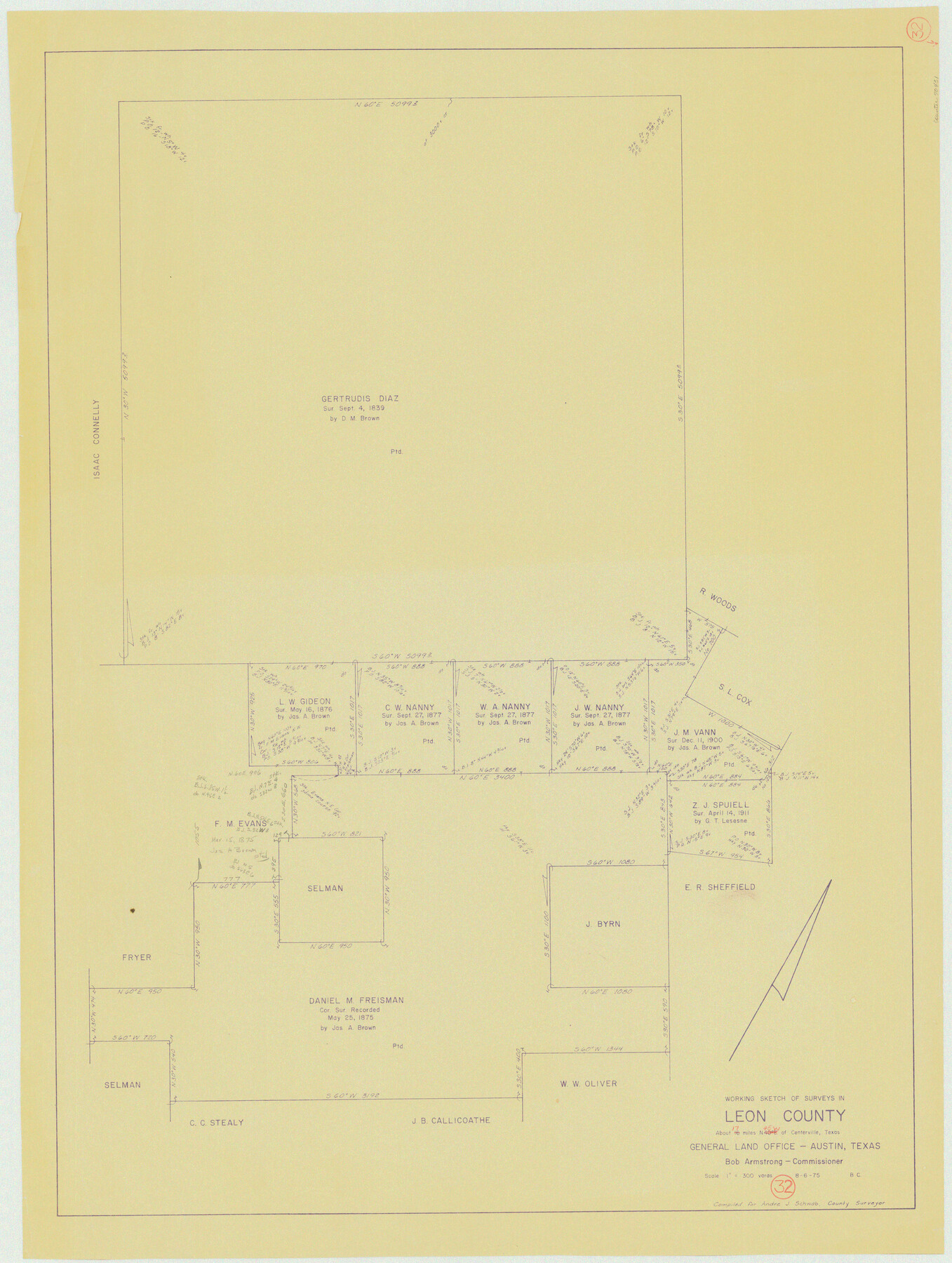
Leon County Working Sketch 32
-
Map/Doc
70431
-
Collection
General Map Collection
-
Object Dates
8/6/1975 (Creation Date)
-
People and Organizations
Beverly Christian (Draftsman)
-
Counties
Leon
-
Subjects
Surveying Working Sketch
-
Height x Width
38.2 x 28.8 inches
97.0 x 73.2 cm
-
Scale
1" = 300 varas
Part of: General Map Collection
Stephens County Working Sketch 26

Print $20.00
- Digital $50.00
Stephens County Working Sketch 26
1976
Size 36.9 x 32.2 inches
Map/Doc 63969
Tarrant County Boundary File 4 and 4a

Print $14.00
- Digital $50.00
Tarrant County Boundary File 4 and 4a
Size 11.5 x 8.9 inches
Map/Doc 59154
San Saba County Sketch File 16

Print $20.00
- Digital $50.00
San Saba County Sketch File 16
1902
Size 16.9 x 18.8 inches
Map/Doc 12294
Brewster County Working Sketch 92

Print $40.00
- Digital $50.00
Brewster County Working Sketch 92
1975
Size 61.9 x 39.4 inches
Map/Doc 67692
Fifteenth Census 1930 Population - Texas

Print $20.00
- Digital $50.00
Fifteenth Census 1930 Population - Texas
1930
Size 19.5 x 22.6 inches
Map/Doc 2146
Flight Mission No. DAH-17M, Frame 24, Orange County

Print $20.00
- Digital $50.00
Flight Mission No. DAH-17M, Frame 24, Orange County
1953
Size 18.5 x 22.4 inches
Map/Doc 86887
Reagan County Working Sketch 36

Print $20.00
- Digital $50.00
Reagan County Working Sketch 36
1966
Size 29.6 x 20.6 inches
Map/Doc 71878
Montague County Sketch File 23

Print $6.00
- Digital $50.00
Montague County Sketch File 23
1941
Size 13.9 x 8.4 inches
Map/Doc 31753
Current Miscellaneous File 59

Print $16.00
- Digital $50.00
Current Miscellaneous File 59
1836
Size 11.4 x 8.9 inches
Map/Doc 74056
Wise County Sketch File 54

Print $22.00
- Digital $50.00
Wise County Sketch File 54
2012
Size 11.0 x 8.5 inches
Map/Doc 93553
A New Map of Texas, Oregon, and California with the regions adjoining compiled from the most recent authorities

Print $20.00
- Digital $50.00
A New Map of Texas, Oregon, and California with the regions adjoining compiled from the most recent authorities
1846
Size 23.0 x 21.2 inches
Map/Doc 95748
Harbor Pass and Bar at Brazos Santiago, Texas

Print $20.00
- Digital $50.00
Harbor Pass and Bar at Brazos Santiago, Texas
1871
Size 18.3 x 26.8 inches
Map/Doc 72982
You may also like
Childress Co.

Print $20.00
- Digital $50.00
Childress Co.
1892
Size 40.3 x 33.7 inches
Map/Doc 66752
Austin County

Print $20.00
- Digital $50.00
Austin County
1943
Size 40.2 x 43.0 inches
Map/Doc 95422
Andrews County

Print $40.00
- Digital $50.00
Andrews County
1951
Size 43.0 x 54.4 inches
Map/Doc 77199
Montague County Sketch File 23
Print $6.00
- Digital $50.00
Montague County Sketch File 23
1941
Size 13.9 x 8.4 inches
Map/Doc 31753
Presidio County Rolled Sketch 121

Print $40.00
- Digital $50.00
Presidio County Rolled Sketch 121
1939
Size 50.4 x 43.1 inches
Map/Doc 9797
Flight Mission No. CRK-8P, Frame 106, Refugio County

Print $20.00
- Digital $50.00
Flight Mission No. CRK-8P, Frame 106, Refugio County
1956
Size 18.3 x 22.1 inches
Map/Doc 86967
Hall County Sketch File 18

Print $20.00
- Digital $50.00
Hall County Sketch File 18
Size 16.8 x 35.1 inches
Map/Doc 11609
Harris County Working Sketch 94

Print $20.00
- Digital $50.00
Harris County Working Sketch 94
1978
Size 20.9 x 40.2 inches
Map/Doc 65986
Burnet County Sketch File 10

Print $4.00
- Digital $50.00
Burnet County Sketch File 10
1848
Size 12.8 x 8.4 inches
Map/Doc 16690
[Capitol Leagues 225-238]
![90677, [Capitol Leagues 225-238], Twichell Survey Records](https://historictexasmaps.com/wmedia_w700/maps/90677-1.tif.jpg)
Print $20.00
- Digital $50.00
[Capitol Leagues 225-238]
Size 23.2 x 13.0 inches
Map/Doc 90677
General Highway Map, Grimes County, Texas

Print $20.00
General Highway Map, Grimes County, Texas
1961
Size 24.8 x 18.1 inches
Map/Doc 79490
[Sketch for Mineral Application 27670 - Strip between Simon Sanchez leagues and Trinity River]
![2862, [Sketch for Mineral Application 27670 - Strip between Simon Sanchez leagues and Trinity River], General Map Collection](https://historictexasmaps.com/wmedia_w700/maps/2862-1.tif.jpg)
Print $20.00
- Digital $50.00
[Sketch for Mineral Application 27670 - Strip between Simon Sanchez leagues and Trinity River]
1934
Size 25.7 x 39.9 inches
Map/Doc 2862