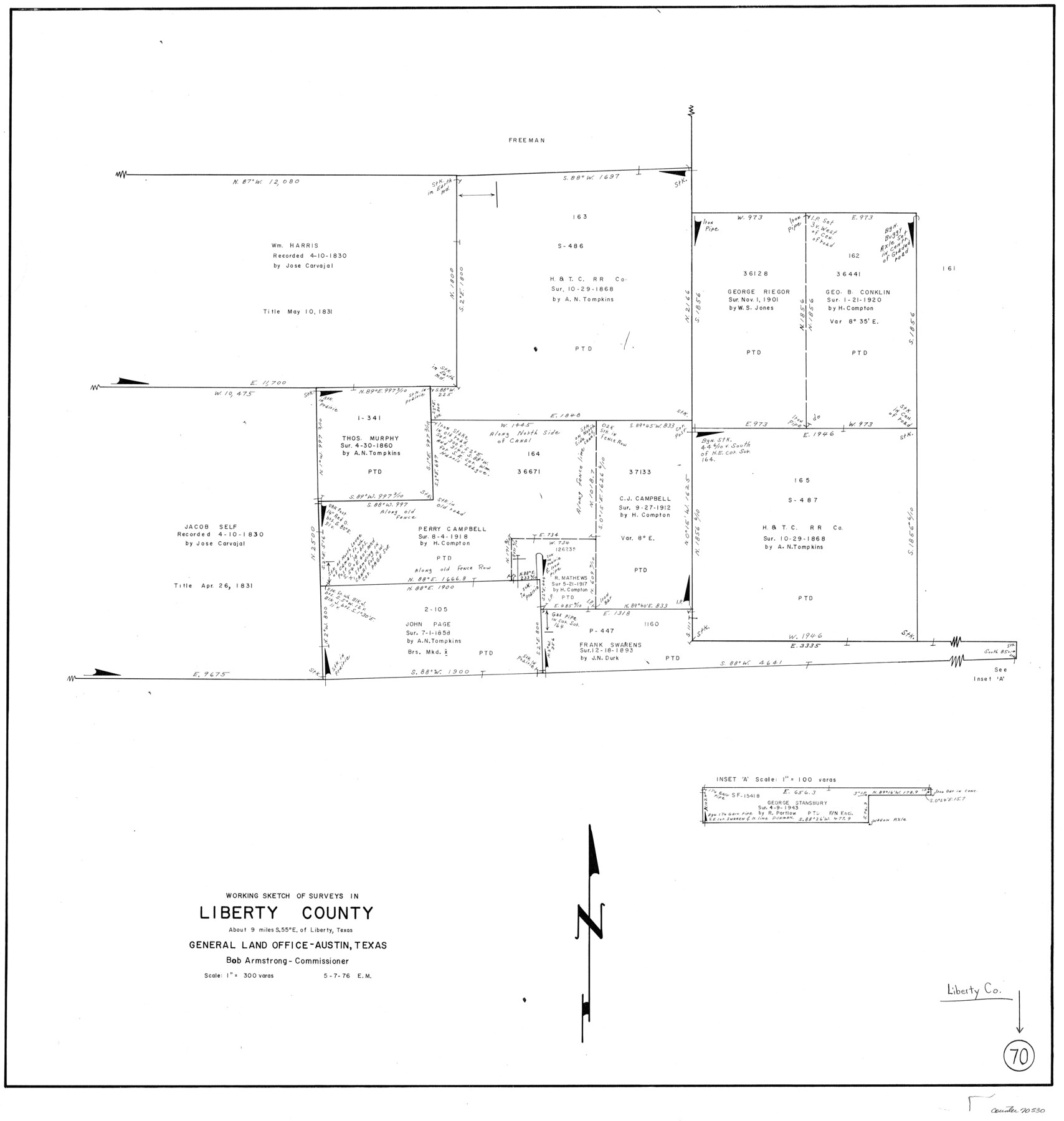
Liberty County Working Sketch 70
-
Map/Doc
70530
-
Collection
General Map Collection
-
Object Dates
5/7/1976 (Creation Date)
-
People and Organizations
Elbert Menzel (Draftsman)
-
Counties
Liberty
-
Subjects
Surveying Working Sketch
-
Height x Width
32.4 x 30.8 inches
82.3 x 78.2 cm
-
Scale
1" = 300 varas
Part of: General Map Collection
Hansford County Working Sketch 2

Print $40.00
- Digital $50.00
Hansford County Working Sketch 2
1934
Size 42.7 x 54.4 inches
Map/Doc 63374
Andrews County Rolled Sketch 13

Print $20.00
- Digital $50.00
Andrews County Rolled Sketch 13
1934
Size 38.3 x 26.2 inches
Map/Doc 77163
Flight Mission No. CUG-2P, Frame 10, Kleberg County

Print $20.00
- Digital $50.00
Flight Mission No. CUG-2P, Frame 10, Kleberg County
1956
Size 18.7 x 22.3 inches
Map/Doc 86182
Gillespie County Working Sketch 4

Print $20.00
- Digital $50.00
Gillespie County Working Sketch 4
1969
Size 32.5 x 35.3 inches
Map/Doc 63167
Sabine County Sketch File 7a

Print $4.00
Sabine County Sketch File 7a
1882
Size 14.2 x 8.7 inches
Map/Doc 35620
Uvalde County Sketch File 29

Print $8.00
- Digital $50.00
Uvalde County Sketch File 29
1873
Size 13.0 x 8.3 inches
Map/Doc 39028
Dimmit County Rolled Sketch 12

Print $20.00
- Digital $50.00
Dimmit County Rolled Sketch 12
1942
Size 19.8 x 21.5 inches
Map/Doc 5721
Map of Surveys Made for the T&PRR in Martin & Tom Green Counties, Blocks 34-39, Reserve West of the Colorado River

Print $20.00
- Digital $50.00
Map of Surveys Made for the T&PRR in Martin & Tom Green Counties, Blocks 34-39, Reserve West of the Colorado River
1876
Size 41.9 x 43.7 inches
Map/Doc 2226
Orange County Working Sketch 38

Print $20.00
- Digital $50.00
Orange County Working Sketch 38
1964
Size 25.4 x 27.7 inches
Map/Doc 71370
Houston County Sketch File 12

Print $4.00
- Digital $50.00
Houston County Sketch File 12
1849
Size 8.2 x 14.7 inches
Map/Doc 26773
Bee County Working Sketch 3

Print $20.00
- Digital $50.00
Bee County Working Sketch 3
1915
Size 22.8 x 20.3 inches
Map/Doc 67253
Falls County Sketch File 18a

Print $8.00
- Digital $50.00
Falls County Sketch File 18a
Size 13.3 x 9.0 inches
Map/Doc 22382
You may also like
Map of Shelby County

Print $20.00
- Digital $50.00
Map of Shelby County
1863
Size 18.6 x 22.3 inches
Map/Doc 4031
Nueces County Rolled Sketch 79A

Print $20.00
- Digital $50.00
Nueces County Rolled Sketch 79A
1966
Size 17.7 x 25.7 inches
Map/Doc 9628
Part of the boundary between the Republic of Texas and the United States, North of Sabine River, from the 72nd Mile Mound to Red River (Sheet No. 3)

Print $20.00
- Digital $50.00
Part of the boundary between the Republic of Texas and the United States, North of Sabine River, from the 72nd Mile Mound to Red River (Sheet No. 3)
1842
Size 33.8 x 26.2 inches
Map/Doc 4670
Hall County Sketch File C

Print $20.00
- Digital $50.00
Hall County Sketch File C
1905
Size 13.7 x 32.8 inches
Map/Doc 11614
United States - Gulf Coast Texas - Southern part of Laguna Madre

Print $20.00
- Digital $50.00
United States - Gulf Coast Texas - Southern part of Laguna Madre
1941
Size 26.6 x 18.2 inches
Map/Doc 72941
Flight Mission No. DAH-17M, Frame 23, Orange County

Print $20.00
- Digital $50.00
Flight Mission No. DAH-17M, Frame 23, Orange County
1953
Size 18.7 x 22.5 inches
Map/Doc 86886
Flight Mission No. BRE-2P, Frame 99, Nueces County

Print $20.00
- Digital $50.00
Flight Mission No. BRE-2P, Frame 99, Nueces County
1956
Size 18.5 x 22.3 inches
Map/Doc 86784
Brazoria County Rolled Sketch 34

Print $20.00
- Digital $50.00
Brazoria County Rolled Sketch 34
1944
Size 29.8 x 18.3 inches
Map/Doc 5171
Flight Mission No. DAG-14K, Frame 41, Matagorda County

Print $20.00
- Digital $50.00
Flight Mission No. DAG-14K, Frame 41, Matagorda County
1952
Size 18.6 x 22.4 inches
Map/Doc 86299
Sketch X, Hardin County

Print $20.00
- Digital $50.00
Sketch X, Hardin County
1904
Size 26.3 x 38.1 inches
Map/Doc 75823
Ward County Rolled Sketch 12

Print $20.00
- Digital $50.00
Ward County Rolled Sketch 12
Size 38.2 x 47.8 inches
Map/Doc 10107
El Paso County Boundary File 17

Print $8.00
- Digital $50.00
El Paso County Boundary File 17
Size 13.4 x 8.4 inches
Map/Doc 53192