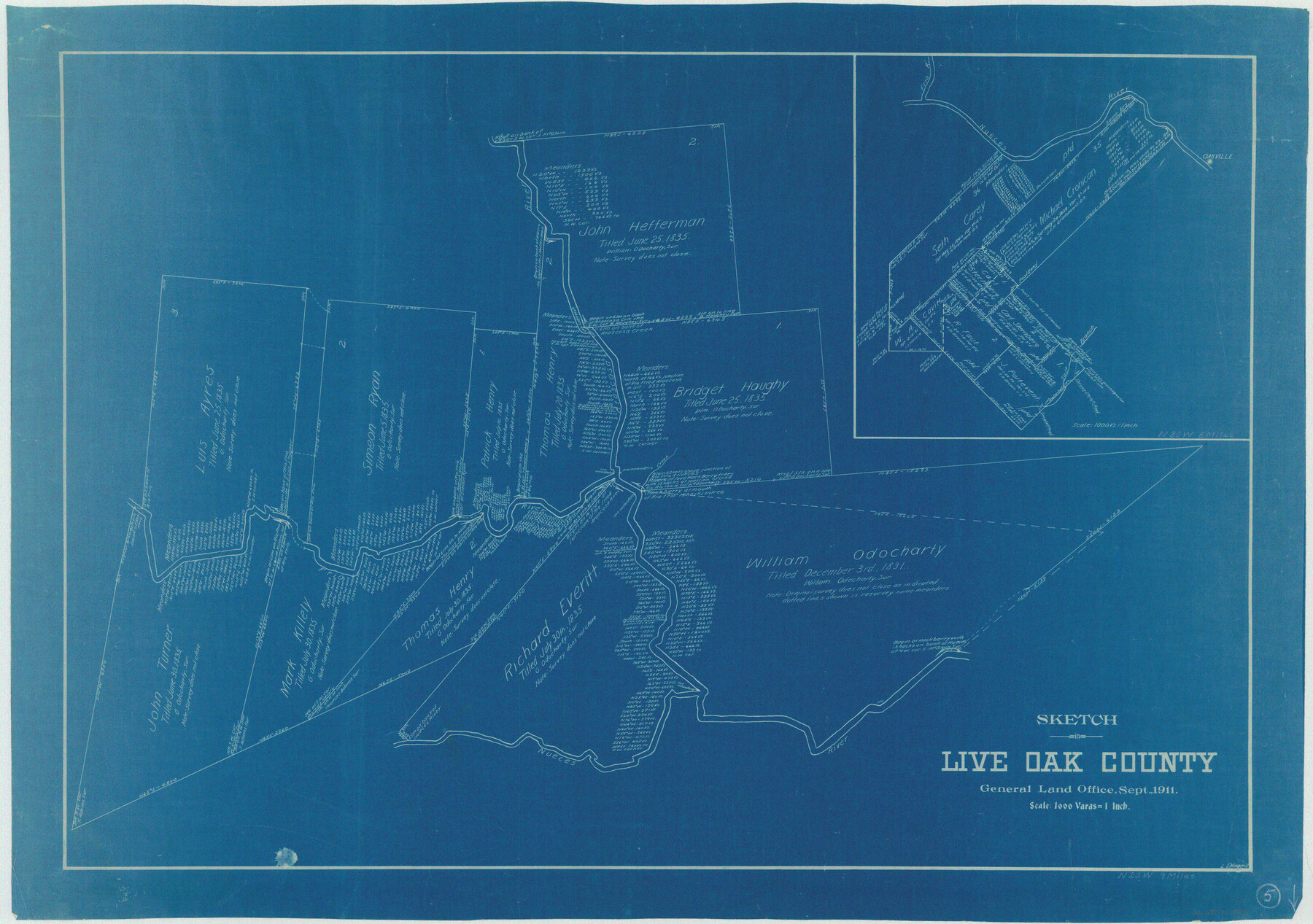
Live Oak County Working Sketch 5
-
Map/Doc
70590
-
Collection
General Map Collection
-
Object Dates
9/1911 (Creation Date)
-
People and Organizations
L. Ehlinger (Draftsman)
-
Counties
Live Oak
-
Subjects
Surveying Working Sketch
-
Height x Width
25.1 x 35.6 inches
63.8 x 90.4 cm
-
Scale
1" = 1000 varas
Part of: General Map Collection
Mills County Boundary File 10

Print $46.00
- Digital $50.00
Mills County Boundary File 10
Size 17.0 x 11.6 inches
Map/Doc 57329
Pecos County Working Sketch 45

Print $20.00
- Digital $50.00
Pecos County Working Sketch 45
1946
Size 20.8 x 26.7 inches
Map/Doc 71517
Starr County Sketch File 20

Print $12.00
- Digital $50.00
Starr County Sketch File 20
1915
Size 11.2 x 8.6 inches
Map/Doc 36877
Schleicher County

Print $40.00
- Digital $50.00
Schleicher County
1898
Size 33.7 x 53.5 inches
Map/Doc 16811
Maverick County Sketch File 16a

Print $9.00
- Digital $50.00
Maverick County Sketch File 16a
1886
Size 9.5 x 13.7 inches
Map/Doc 31117
Carte d'une partie de L'Amérique Séptentrionale, qui contient partie de la Nle. Espagne, et de la Louisiane

Print $20.00
- Digital $50.00
Carte d'une partie de L'Amérique Séptentrionale, qui contient partie de la Nle. Espagne, et de la Louisiane
1782
Size 14.1 x 18.1 inches
Map/Doc 97118
Brazoria County Sketch File 29

Print $8.00
- Digital $50.00
Brazoria County Sketch File 29
1889
Size 14.0 x 8.8 inches
Map/Doc 15033

Hemphill County Working Sketch 16

Print $20.00
- Digital $50.00
Hemphill County Working Sketch 16
1971
Size 27.0 x 40.0 inches
Map/Doc 66111
Wise County Working Sketch 30

Print $20.00
- Digital $50.00
Wise County Working Sketch 30
1999
Size 39.2 x 34.3 inches
Map/Doc 72644
Flight Mission No. BRA-7M, Frame 122, Jefferson County

Print $20.00
- Digital $50.00
Flight Mission No. BRA-7M, Frame 122, Jefferson County
1953
Size 18.7 x 22.3 inches
Map/Doc 85516
Brewster County Sketch File C-1

Print $14.00
- Digital $50.00
Brewster County Sketch File C-1
1911
Size 11.2 x 8.9 inches
Map/Doc 15719
You may also like
Flight Mission No. CGI-1N, Frame 176, Cameron County

Print $20.00
- Digital $50.00
Flight Mission No. CGI-1N, Frame 176, Cameron County
1955
Size 18.5 x 22.2 inches
Map/Doc 84511
Flight Mission No. DQN-1K, Frame 114, Calhoun County

Print $20.00
- Digital $50.00
Flight Mission No. DQN-1K, Frame 114, Calhoun County
1953
Size 18.5 x 22.3 inches
Map/Doc 84180
Webb County Sketch File 4a

Print $8.00
- Digital $50.00
Webb County Sketch File 4a
1877
Size 11.6 x 4.0 inches
Map/Doc 39718
Young County Sketch File 10c

Print $4.00
- Digital $50.00
Young County Sketch File 10c
1878
Size 8.2 x 15.4 inches
Map/Doc 40872
Green & Lumsden's Ranch

Print $20.00
- Digital $50.00
Green & Lumsden's Ranch
Size 28.4 x 24.7 inches
Map/Doc 92431
Oldham County

Print $40.00
- Digital $50.00
Oldham County
1925
Size 41.5 x 53.2 inches
Map/Doc 95604
Block I, Dickens County Compiled by W.D. Twichell as directed by Cowan & Burney Upon G.M. Williams' Measurements

Print $20.00
- Digital $50.00
Block I, Dickens County Compiled by W.D. Twichell as directed by Cowan & Burney Upon G.M. Williams' Measurements
1916
Size 41.5 x 41.7 inches
Map/Doc 89770
Atascosa County Working Sketch 35

Print $20.00
- Digital $50.00
Atascosa County Working Sketch 35
1992
Size 34.6 x 48.1 inches
Map/Doc 67231
Gaines County Rolled Sketch 25

Print $20.00
- Digital $50.00
Gaines County Rolled Sketch 25
1977
Size 23.6 x 19.4 inches
Map/Doc 5939
Index to Burnet's, [Vehlein's] & Zavala's Colonies
![94553, Index to Burnet's, [Vehlein's] & Zavala's Colonies, Historical Volumes](https://historictexasmaps.com/wmedia_w700/pdf_converted_jpg/qi_pdf_thumbnail_39142.jpg)
Index to Burnet's, [Vehlein's] & Zavala's Colonies
Map/Doc 94553
Briscoe County Sketch File 8

Print $6.00
- Digital $50.00
Briscoe County Sketch File 8
1896
Size 10.5 x 8.3 inches
Map/Doc 16417
Detail Sketch of A.B. Robertson's Ranch and J.W. James' Ranch situated in Garza and Crosby Counties, Texas

Print $40.00
- Digital $50.00
Detail Sketch of A.B. Robertson's Ranch and J.W. James' Ranch situated in Garza and Crosby Counties, Texas
Size 52.1 x 34.9 inches
Map/Doc 89761