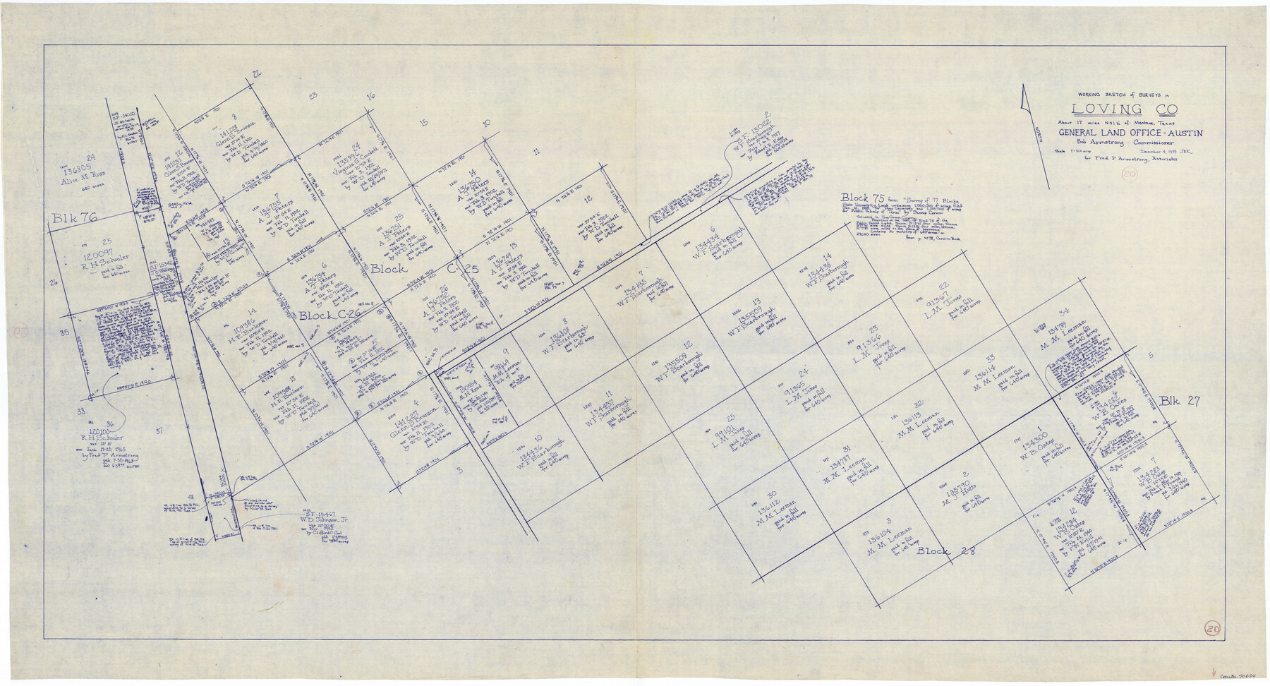
Loving County Working Sketch 20
-
Map/Doc
70654
-
Collection
General Map Collection
-
Object Dates
12/4/1979 (Creation Date)
-
People and Organizations
Joan Kilpatrick (Draftsman)
-
Counties
Loving
-
Subjects
Surveying Working Sketch
-
Height x Width
30.6 x 56.6 inches
77.7 x 143.8 cm
-
Scale
1" = 500 varas
Part of: General Map Collection
Map of scout of second column, Indian Territory Expedition, 1874

Print $4.00
- Digital $50.00
Map of scout of second column, Indian Territory Expedition, 1874
1874
Size 20.2 x 16.4 inches
Map/Doc 65401
Throckmorton County Rolled Sketch 6B

Print $20.00
- Digital $50.00
Throckmorton County Rolled Sketch 6B
2004
Size 20.3 x 24.2 inches
Map/Doc 82490
Flight Mission No. BRA-16M, Frame 91, Jefferson County

Print $20.00
- Digital $50.00
Flight Mission No. BRA-16M, Frame 91, Jefferson County
1953
Size 18.7 x 22.5 inches
Map/Doc 85703
Freestone County Sketch File 4

Print $6.00
- Digital $50.00
Freestone County Sketch File 4
1848
Size 10.8 x 8.2 inches
Map/Doc 23044
San Patricio County Sketch File 6

Print $4.00
- Digital $50.00
San Patricio County Sketch File 6
Size 8.7 x 5.5 inches
Map/Doc 36035
Coryell County Sketch File 13

Print $4.00
- Digital $50.00
Coryell County Sketch File 13
1872
Size 5.0 x 8.5 inches
Map/Doc 19366
[Unidentified Railroad through Denton and Dallas County]
![64774, [Unidentified Railroad through Denton and Dallas County], General Map Collection](https://historictexasmaps.com/wmedia_w700/maps/64774.tif.jpg)
Print $40.00
- Digital $50.00
[Unidentified Railroad through Denton and Dallas County]
Size 6.8 x 121.3 inches
Map/Doc 64774


Rosebud Station Map -Tracks and Structures - Lands, San Antonio and Aransas Pass Railway Co

Print $4.00
- Digital $50.00
Rosebud Station Map -Tracks and Structures - Lands, San Antonio and Aransas Pass Railway Co
1919
Size 11.7 x 18.6 inches
Map/Doc 62565
Galveston County Sketch File 55

Print $20.00
- Digital $50.00
Galveston County Sketch File 55
1839
Size 5.2 x 3.7 inches
Map/Doc 23591
Johnson County Working Sketch 31

Print $20.00
- Digital $50.00
Johnson County Working Sketch 31
2007
Size 21.2 x 22.0 inches
Map/Doc 87499
You may also like
Montague County Sketch File 26

Print $4.00
- Digital $50.00
Montague County Sketch File 26
1945
Size 11.3 x 8.7 inches
Map/Doc 31760
Flight Mission No. DAH-9M, Frame 163, Orange County

Print $20.00
- Digital $50.00
Flight Mission No. DAH-9M, Frame 163, Orange County
1953
Size 18.4 x 22.4 inches
Map/Doc 86862
[I. & G. N. Block 1]
![91592, [I. & G. N. Block 1], Twichell Survey Records](https://historictexasmaps.com/wmedia_w700/maps/91592-1.tif.jpg)
Print $20.00
- Digital $50.00
[I. & G. N. Block 1]
Size 17.2 x 18.1 inches
Map/Doc 91592
Medina County Sketch File 3

Print $4.00
- Digital $50.00
Medina County Sketch File 3
Size 8.1 x 7.3 inches
Map/Doc 31445
Webb County Sketch File 14a

Print $40.00
- Digital $50.00
Webb County Sketch File 14a
1893
Size 17.4 x 13.7 inches
Map/Doc 39810
Eastland County Working Sketch 57

Print $20.00
- Digital $50.00
Eastland County Working Sketch 57
1985
Size 21.7 x 21.8 inches
Map/Doc 68838
Vehlein and Company Empresario Colony. November 17, 1828

Print $20.00
Vehlein and Company Empresario Colony. November 17, 1828
2020
Size 20.8 x 21.7 inches
Map/Doc 96008
Reeves County Working Sketch 60

Print $20.00
- Digital $50.00
Reeves County Working Sketch 60
1981
Size 24.7 x 36.3 inches
Map/Doc 63503
Andrews County Sketch File 6

Print $9.00
- Digital $50.00
Andrews County Sketch File 6
1942
Size 9.6 x 10.6 inches
Map/Doc 12825
Nueces County Rolled Sketch 76

Print $20.00
- Digital $50.00
Nueces County Rolled Sketch 76
1981
Size 18.3 x 23.6 inches
Map/Doc 6937
Flight Mission No. BRA-7M, Frame117, Jefferson County

Print $20.00
- Digital $50.00
Flight Mission No. BRA-7M, Frame117, Jefferson County
1953
Size 18.7 x 22.4 inches
Map/Doc 85511
Hall County Sketch File 30

Print $6.00
- Digital $50.00
Hall County Sketch File 30
1942
Size 11.3 x 8.9 inches
Map/Doc 24832