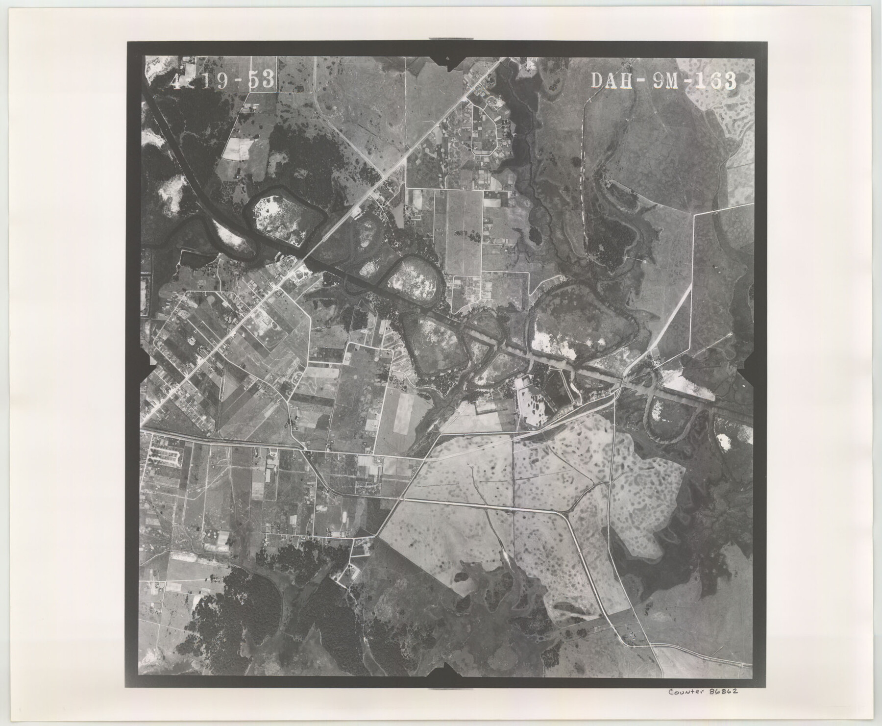
Flight Mission No. DAH-9M, Frame 163, Orange County
DAH-9M-163
-
Map/Doc
86862
-
Collection
General Map Collection
-
Object Dates
1953/4/19 (Creation Date)
-
People and Organizations
U. S. Department of Agriculture (Publisher)
-
Counties
Orange
-
Subjects
Aerial Photograph
-
Height x Width
18.4 x 22.4 inches
46.7 x 56.9 cm
-
Comments
Flown by Jack Ammann Photogrammetric Engineers of San Antonio, Texas.
Part of: General Map Collection

Harris County Rolled Sketch 80

Print $20.00
- Digital $50.00
Harris County Rolled Sketch 80
1958
Size 31.1 x 31.0 inches
Map/Doc 6116
Live Oak County Working Sketch 6

Print $20.00
- Digital $50.00
Live Oak County Working Sketch 6
1930
Size 17.6 x 21.6 inches
Map/Doc 70591
Erath County Working Sketch 24

Print $20.00
- Digital $50.00
Erath County Working Sketch 24
1967
Size 41.5 x 39.3 inches
Map/Doc 69105
Williamson County Sketch File 23

Print $4.00
- Digital $50.00
Williamson County Sketch File 23
1877
Size 12.8 x 8.1 inches
Map/Doc 40353

Clay County Boundary File 10

Print $6.00
- Digital $50.00
Clay County Boundary File 10
Size 14.2 x 8.8 inches
Map/Doc 51397
Irion County Working Sketch 14

Print $40.00
- Digital $50.00
Irion County Working Sketch 14
1973
Size 56.3 x 30.8 inches
Map/Doc 66423
Flight Mission No. BRA-7M, Frame 81, Jefferson County

Print $20.00
- Digital $50.00
Flight Mission No. BRA-7M, Frame 81, Jefferson County
1953
Size 16.0 x 15.8 inches
Map/Doc 85503
Red River County Working Sketch 81-3

Print $20.00
- Digital $50.00
Red River County Working Sketch 81-3
1987
Size 17.5 x 21.5 inches
Map/Doc 72066
Cottle County Rolled Sketch 14

Print $741.00
- Digital $50.00
Cottle County Rolled Sketch 14
1882
Size 10.8 x 16.0 inches
Map/Doc 42369
Rusk County Sketch File 16

Print $4.00
Rusk County Sketch File 16
1849
Size 13.0 x 8.4 inches
Map/Doc 35518
You may also like
Briscoe County Sketch File 12

Print $4.00
- Digital $50.00
Briscoe County Sketch File 12
1927
Size 11.2 x 8.8 inches
Map/Doc 16426
[McMullen and Live Oak County]
![10789, [McMullen and Live Oak County], General Map Collection](https://historictexasmaps.com/wmedia_w700/maps/10789.tif.jpg)
Print $20.00
- Digital $50.00
[McMullen and Live Oak County]
1870
Size 34.3 x 36.0 inches
Map/Doc 10789
Nueces County Rolled Sketch 10

Print $40.00
- Digital $50.00
Nueces County Rolled Sketch 10
Size 31.6 x 55.4 inches
Map/Doc 8350
St. Louis Southwestern Railway of Texas

Print $20.00
- Digital $50.00
St. Louis Southwestern Railway of Texas
1906
Size 21.7 x 30.0 inches
Map/Doc 64452
Wise County Working Sketch 7

Print $20.00
- Digital $50.00
Wise County Working Sketch 7
1950
Size 26.2 x 24.8 inches
Map/Doc 72621
Zavala County Sketch File 49

Print $10.00
- Digital $50.00
Zavala County Sketch File 49
1955
Size 14.5 x 9.1 inches
Map/Doc 41441
Hockley County Rolled Sketch 9

Print $20.00
- Digital $50.00
Hockley County Rolled Sketch 9
1947
Size 21.2 x 16.5 inches
Map/Doc 6218
Map of the Northeast Part of the Pitchfork Ranch

Print $20.00
- Digital $50.00
Map of the Northeast Part of the Pitchfork Ranch
1916
Size 23.4 x 23.4 inches
Map/Doc 90980
Andrews County Sketch File 2

Print $40.00
- Digital $50.00
Andrews County Sketch File 2
1902
Size 20.7 x 29.5 inches
Map/Doc 10807
[Lee County School Land and vicinity]
![90886, [Lee County School Land and vicinity], Twichell Survey Records](https://historictexasmaps.com/wmedia_w700/maps/90886-1.tif.jpg)
Print $2.00
- Digital $50.00
[Lee County School Land and vicinity]
Size 9.0 x 14.8 inches
Map/Doc 90886
The Republic County of Brazos. Created, January 30, 1841

Print $20.00
The Republic County of Brazos. Created, January 30, 1841
2020
Size 20.6 x 21.7 inches
Map/Doc 96116
Aransas County Rolled Sketch 29

Print $20.00
- Digital $50.00
Aransas County Rolled Sketch 29
1961
Size 35.8 x 31.1 inches
Map/Doc 77497