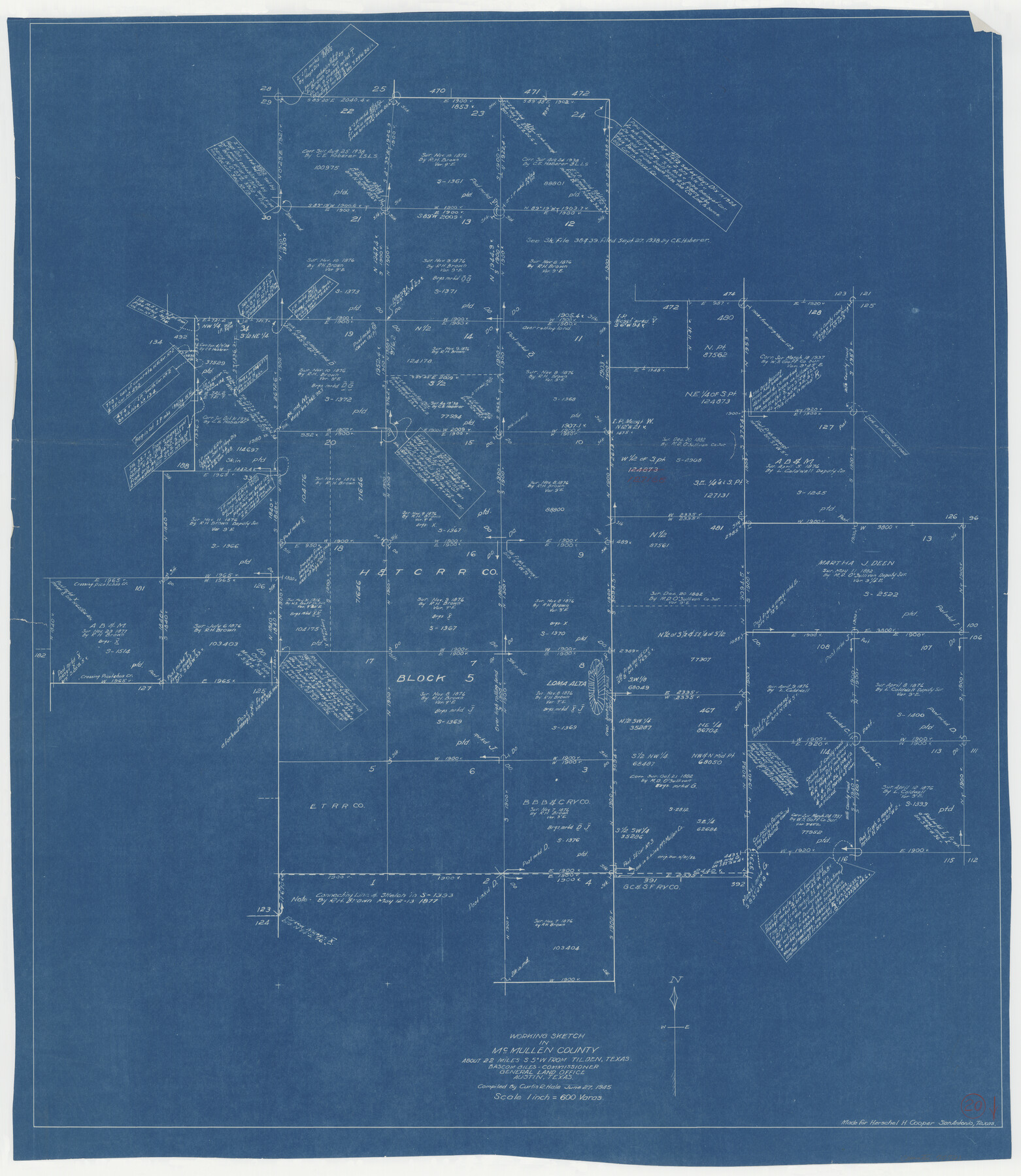
McMullen County Working Sketch 20
-
Map/Doc
70721
-
Collection
General Map Collection
-
Object Dates
6/27/1945 (Creation Date)
-
People and Organizations
Curtis R. Hale (Draftsman)
-
Counties
McMullen
-
Subjects
Surveying Working Sketch
-
Height x Width
34.1 x 29.6 inches
86.6 x 75.2 cm
-
Scale
1" = 600 varas
Part of: General Map Collection
Hardeman County Sketch File 12

Print $4.00
- Digital $50.00
Hardeman County Sketch File 12
Size 12.8 x 8.3 inches
Map/Doc 25020
The North Part of America Conteyning Newfoundland, New England, Virginia, Florida, New Spaine, and Nova Francia

Print $20.00
- Digital $50.00
The North Part of America Conteyning Newfoundland, New England, Virginia, Florida, New Spaine, and Nova Francia
1625
Size 12.6 x 16.2 inches
Map/Doc 97028
Coke County Working Sketch 28

Print $20.00
- Digital $50.00
Coke County Working Sketch 28
1965
Size 32.7 x 42.2 inches
Map/Doc 68065
Hutchinson County Sketch File 50

Print $12.00
- Digital $50.00
Hutchinson County Sketch File 50
1992
Size 14.2 x 8.8 inches
Map/Doc 27434
Lynn County Boundary File 8

Print $4.00
- Digital $50.00
Lynn County Boundary File 8
Size 10.4 x 8.6 inches
Map/Doc 56655
Kimble County Working Sketch 77

Print $20.00
- Digital $50.00
Kimble County Working Sketch 77
1970
Size 25.0 x 36.2 inches
Map/Doc 70145
Gillespie County Rolled Sketch 9

Print $20.00
- Digital $50.00
Gillespie County Rolled Sketch 9
2014
Size 23.6 x 36.2 inches
Map/Doc 93713
Harris County Working Sketch 35

Print $20.00
- Digital $50.00
Harris County Working Sketch 35
1938
Size 28.8 x 25.2 inches
Map/Doc 65927
Rusk County Working Sketch 12

Print $20.00
- Digital $50.00
Rusk County Working Sketch 12
1979
Size 17.0 x 15.8 inches
Map/Doc 63647
Newton County Aerial Photograph Index Sheet 5

Print $20.00
- Digital $50.00
Newton County Aerial Photograph Index Sheet 5
1953
Size 24.1 x 17.7 inches
Map/Doc 83734
Red River, Levee Improvement Districts Widths of Floodways - Bois D'Arc Creek

Print $20.00
- Digital $50.00
Red River, Levee Improvement Districts Widths of Floodways - Bois D'Arc Creek
1921
Size 29.5 x 26.0 inches
Map/Doc 65271
Guadalupe County Sketch File 16

Print $22.00
- Digital $50.00
Guadalupe County Sketch File 16
Size 15.7 x 12.4 inches
Map/Doc 24694
You may also like

Galveston Harbor and Channel, Texas - Rehabilitation of Galveston Groins - Location Plan of Rehabilitation

Print $4.00
- Digital $50.00
Galveston Harbor and Channel, Texas - Rehabilitation of Galveston Groins - Location Plan of Rehabilitation
1968
Size 19.7 x 21.5 inches
Map/Doc 73627
Lamar County Rolled Sketch 1

Print $40.00
- Digital $50.00
Lamar County Rolled Sketch 1
1989
Size 50.3 x 39.1 inches
Map/Doc 9553
Burnet County Working Sketch 4

Print $20.00
- Digital $50.00
Burnet County Working Sketch 4
1956
Size 18.3 x 33.1 inches
Map/Doc 67847
Cooke County Sketch File 42

Print $8.00
- Digital $50.00
Cooke County Sketch File 42
1940
Size 14.3 x 8.8 inches
Map/Doc 19316
Map of Eastland County, the portion on the waters of Colorado River Travis the balance- Milam- Land District

Print $20.00
- Digital $50.00
Map of Eastland County, the portion on the waters of Colorado River Travis the balance- Milam- Land District
1875
Size 24.6 x 22.2 inches
Map/Doc 3500
Ward County Rolled Sketch 27

Print $20.00
- Digital $50.00
Ward County Rolled Sketch 27
1982
Size 22.7 x 16.5 inches
Map/Doc 8166

[Beaumont, Sour Lake and Western Ry. Right of Way and Alignment - Frisco]
![64108, [Beaumont, Sour Lake and Western Ry. Right of Way and Alignment - Frisco], General Map Collection](https://historictexasmaps.com/wmedia_w700/maps/64108.tif.jpg)
Print $20.00
- Digital $50.00
[Beaumont, Sour Lake and Western Ry. Right of Way and Alignment - Frisco]
1910
Size 19.9 x 45.9 inches
Map/Doc 64108
[Ferguson State Farm]
![62991, [Ferguson State Farm], General Map Collection](https://historictexasmaps.com/wmedia_w700/maps/62991.tif.jpg)
Print $20.00
- Digital $50.00
[Ferguson State Farm]
Size 17.2 x 16.1 inches
Map/Doc 62991
Anderson County

Print $40.00
- Digital $50.00
Anderson County
1942
Size 52.9 x 47.9 inches
Map/Doc 66702
Trinity County Working Sketch 22

Print $40.00
- Digital $50.00
Trinity County Working Sketch 22
2009
Size 32.0 x 52.1 inches
Map/Doc 89068