[Beaumont, Sour Lake and Western Ry. Right of Way and Alignment - Frisco]
Right of Way and Alignment Thro' C. Williams and A. Savery Leagues
Z-2-33
-
Map/Doc
64108
-
Collection
General Map Collection
-
Object Dates
1910 (Creation Date)
-
Counties
Jefferson
-
Subjects
Railroads
-
Height x Width
19.9 x 45.9 inches
50.5 x 116.6 cm
-
Medium
blueprint/diazo
-
Comments
See counter nos. 64105 through 64133 for all sheets.
-
Features
BSL&W
Elizabeth
Ziegler
Colliers
Part of: General Map Collection
Flight Mission No. DAG-24K, Frame 128, Matagorda County


Print $20.00
- Digital $50.00
Flight Mission No. DAG-24K, Frame 128, Matagorda County
1953
Size 17.2 x 22.5 inches
Map/Doc 86546
Wilbarger County Working Sketch 3


Print $20.00
- Digital $50.00
Wilbarger County Working Sketch 3
1923
Size 22.0 x 23.9 inches
Map/Doc 72541
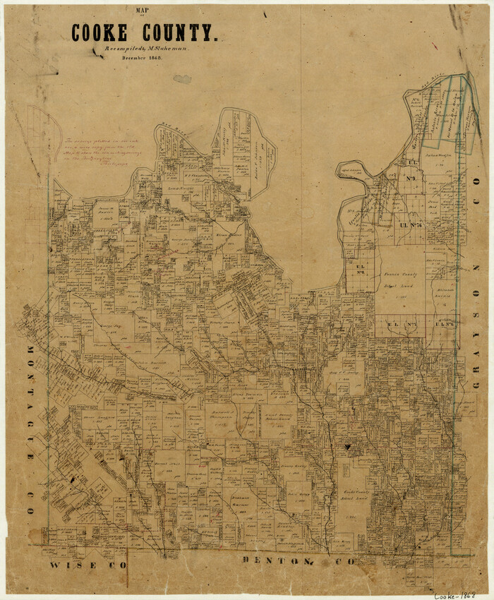
Map of Cooke County

Print $20.00
- Digital $50.00
Map of Cooke County
1868
Size 21.7 x 17.9 inches
Map/Doc 3439
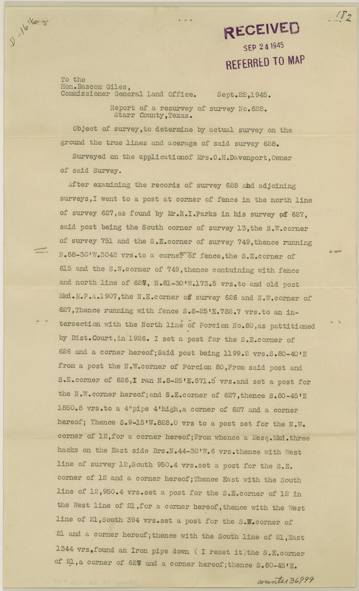
Starr County Sketch File 45

Print $6.00
- Digital $50.00
Starr County Sketch File 45
1945
Size 14.3 x 8.7 inches
Map/Doc 36999
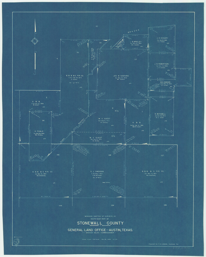
Stonewall County Working Sketch 7

Print $20.00
- Digital $50.00
Stonewall County Working Sketch 7
1949
Size 30.7 x 24.5 inches
Map/Doc 62314
Travis County Rolled Sketch 11


Print $20.00
- Digital $50.00
Travis County Rolled Sketch 11
Size 23.3 x 37.9 inches
Map/Doc 8014
Current Miscellaneous File 11


Print $50.00
- Digital $50.00
Current Miscellaneous File 11
1930
Size 11.2 x 8.7 inches
Map/Doc 73778
Duval County Rolled Sketch 36
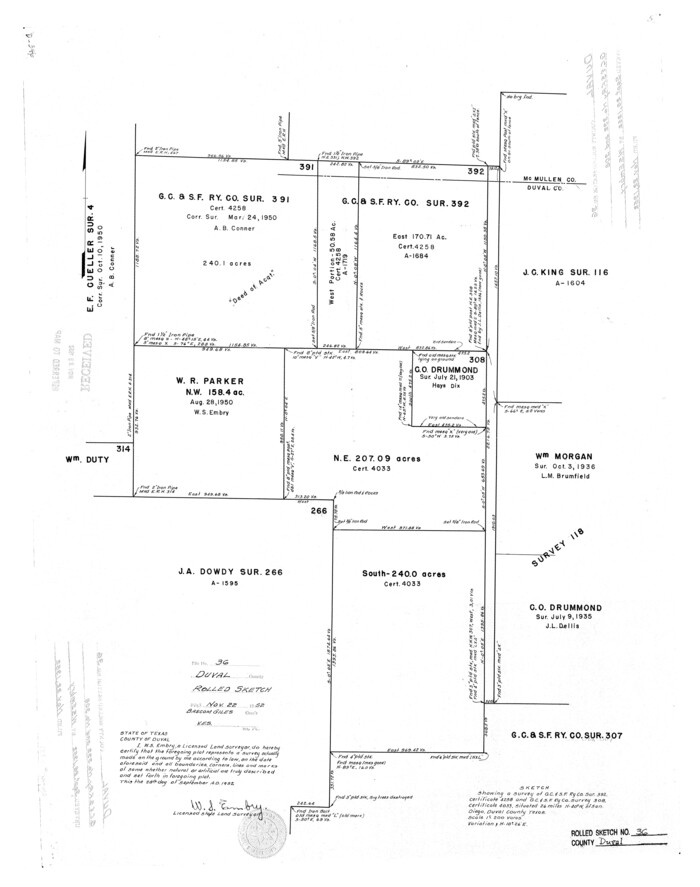

Print $20.00
- Digital $50.00
Duval County Rolled Sketch 36
1952
Size 27.7 x 21.9 inches
Map/Doc 5751
Runnels County Working Sketch 27
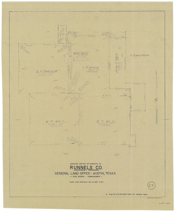

Print $20.00
- Digital $50.00
Runnels County Working Sketch 27
1957
Size 27.1 x 22.1 inches
Map/Doc 63623
Fort Bend County Working Sketch 3


Print $20.00
- Digital $50.00
Fort Bend County Working Sketch 3
1897
Size 26.8 x 24.6 inches
Map/Doc 69209
Travis County State Real Property Sketch 12
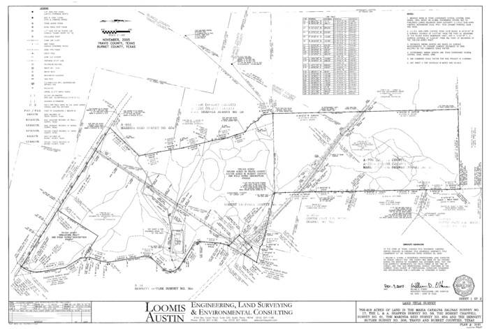

Print $40.00
- Digital $50.00
Travis County State Real Property Sketch 12
2005
Size 24.0 x 35.6 inches
Map/Doc 88617
You may also like
Wichita County Working Sketch 9


Print $20.00
- Digital $50.00
Wichita County Working Sketch 9
1920
Size 23.7 x 17.6 inches
Map/Doc 72518
Culberson County Working Sketch 85
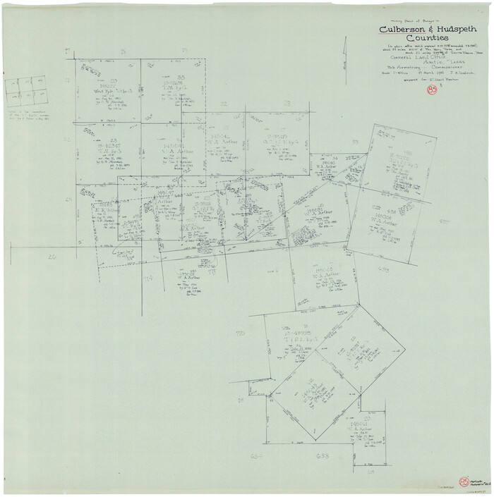

Print $20.00
- Digital $50.00
Culberson County Working Sketch 85
1981
Size 37.0 x 36.9 inches
Map/Doc 68539
Wilson County Boundary File 3
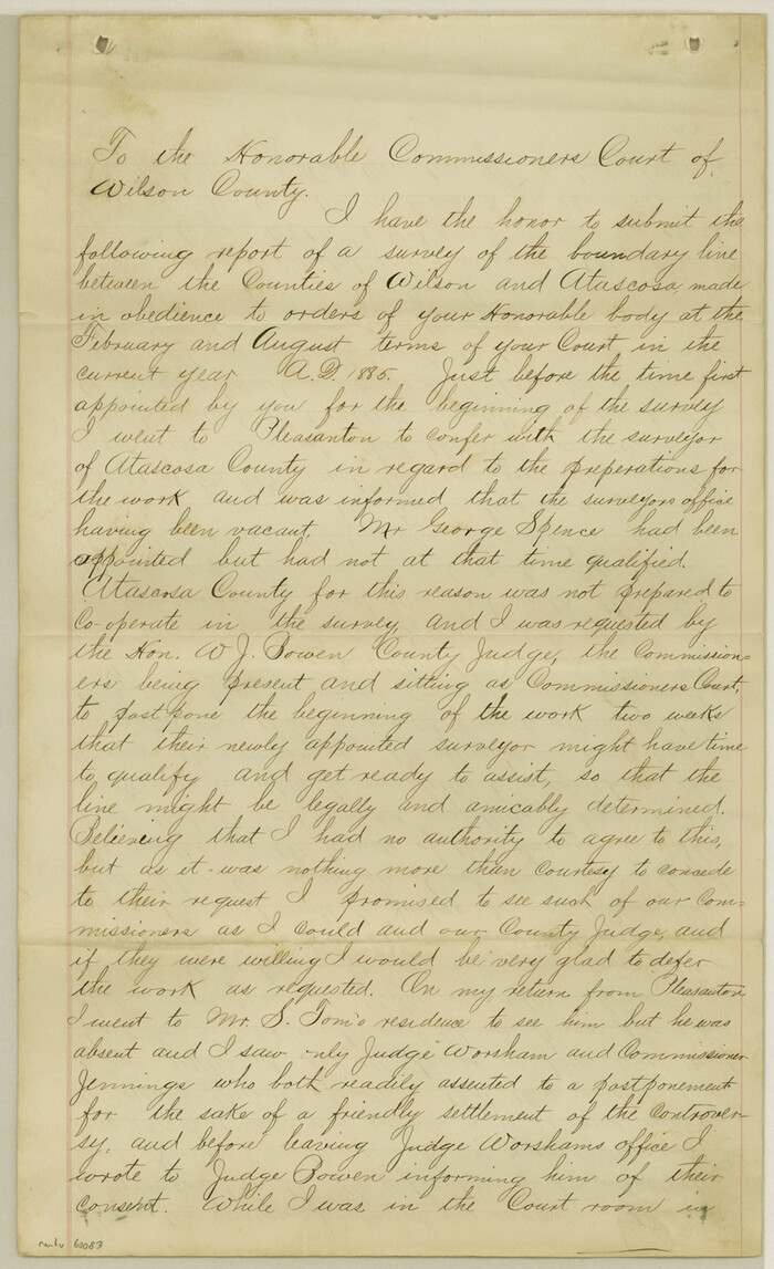

Print $26.00
- Digital $50.00
Wilson County Boundary File 3
Size 14.3 x 8.7 inches
Map/Doc 60083
[Right of Way & Track Map, The Texas & Pacific Ry. Co. Main Line]
![64659, [Right of Way & Track Map, The Texas & Pacific Ry. Co. Main Line], General Map Collection](https://historictexasmaps.com/wmedia_w700/maps/64659.tif.jpg)
![64659, [Right of Way & Track Map, The Texas & Pacific Ry. Co. Main Line], General Map Collection](https://historictexasmaps.com/wmedia_w700/maps/64659.tif.jpg)
Print $20.00
- Digital $50.00
[Right of Way & Track Map, The Texas & Pacific Ry. Co. Main Line]
Size 11.0 x 18.4 inches
Map/Doc 64659
Sutton County Sketch File F


Print $18.00
- Digital $50.00
Sutton County Sketch File F
1906
Size 14.1 x 8.7 inches
Map/Doc 37391
Jefferson County Rolled Sketch 48
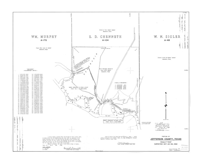

Print $20.00
- Digital $50.00
Jefferson County Rolled Sketch 48
1963
Size 28.3 x 34.8 inches
Map/Doc 6403
Brewster County Rolled Sketch 107
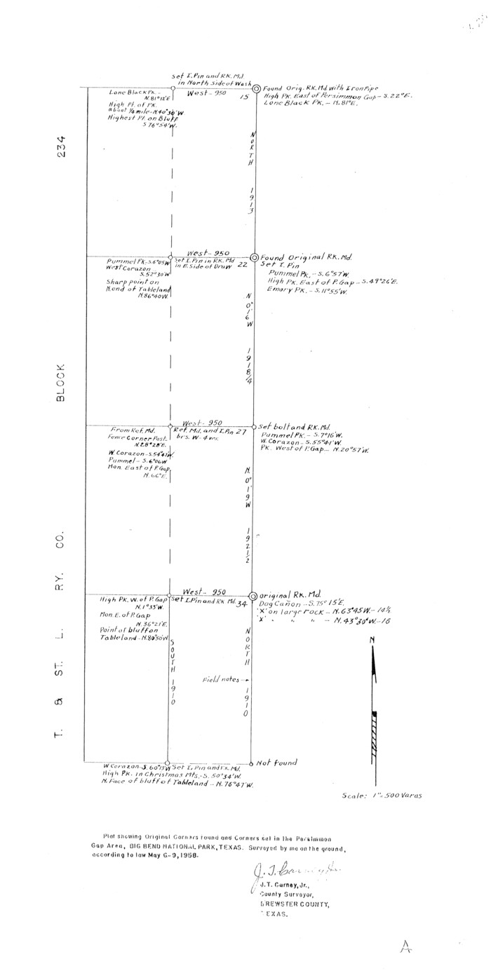

Print $20.00
- Digital $50.00
Brewster County Rolled Sketch 107
Size 22.2 x 11.2 inches
Map/Doc 5259
Map of the City of Galveston Situated on the East end of Galveston Island
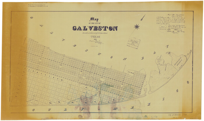

Print $20.00
- Digital $50.00
Map of the City of Galveston Situated on the East end of Galveston Island
1838
Size 25.8 x 43.0 inches
Map/Doc 73628
Working Sketch Compiled From Original Field Notes Showing Surveys in Reagan and Irion Counties


Print $20.00
- Digital $50.00
Working Sketch Compiled From Original Field Notes Showing Surveys in Reagan and Irion Counties
Size 36.2 x 20.2 inches
Map/Doc 92331
Childress County Rolled Sketch 19


Print $20.00
- Digital $50.00
Childress County Rolled Sketch 19
2004
Size 24.6 x 18.6 inches
Map/Doc 81937
Victoria County Rolled Sketch 8


Print $20.00
- Digital $50.00
Victoria County Rolled Sketch 8
Size 34.2 x 27.5 inches
Map/Doc 8153
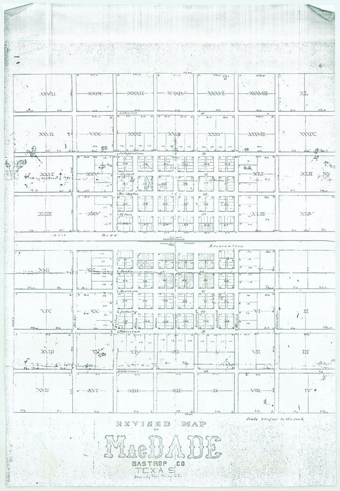
Revised Map of MacDade, Bastrop County, Texas

Print $20.00
- Digital $50.00
Revised Map of MacDade, Bastrop County, Texas
Size 26.6 x 18.4 inches
Map/Doc 78478
![64108, [Beaumont, Sour Lake and Western Ry. Right of Way and Alignment - Frisco], General Map Collection](https://historictexasmaps.com/wmedia_w1800h1800/maps/64108.tif.jpg)
