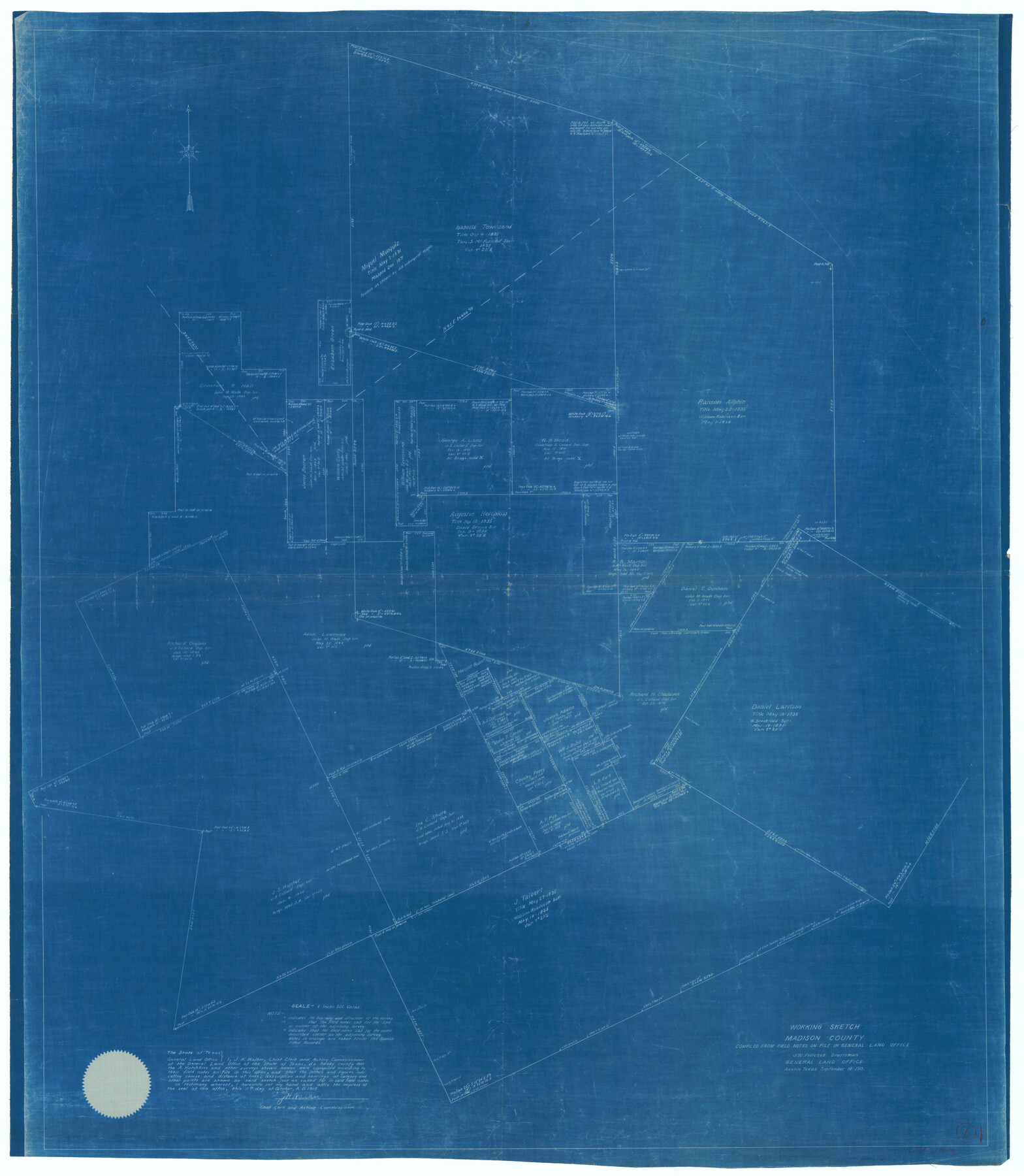
Madison County Working Sketch 1
-
Map/Doc
70763
-
Collection
General Map Collection
-
Object Dates
9/18/1913 (Creation Date)
-
People and Organizations
J.W. Pritchett (Draftsman)
-
Counties
Madison
-
Subjects
Surveying Working Sketch
-
Height x Width
42.4 x 36.9 inches
107.7 x 93.7 cm
-
Scale
1" = 500 varas
Part of: General Map Collection
Flight Mission No. DQN-1K, Frame 145, Calhoun County

Print $20.00
- Digital $50.00
Flight Mission No. DQN-1K, Frame 145, Calhoun County
1953
Size 18.6 x 22.3 inches
Map/Doc 84208
Flight Mission No. BQR-5K, Frame 71, Brazoria County

Print $20.00
- Digital $50.00
Flight Mission No. BQR-5K, Frame 71, Brazoria County
1952
Size 18.8 x 22.4 inches
Map/Doc 84016

Wichita County Rolled Sketch 14

Print $20.00
- Digital $50.00
Wichita County Rolled Sketch 14
1927
Size 36.7 x 30.5 inches
Map/Doc 8251
Roberts County Working Sketch 43

Print $20.00
- Digital $50.00
Roberts County Working Sketch 43
1990
Size 19.3 x 37.6 inches
Map/Doc 63569
Bexar County State Real Property Sketch 5

Print $40.00
- Digital $50.00
Bexar County State Real Property Sketch 5
2019
Size 48.0 x 35.8 inches
Map/Doc 95710
Ochiltree County Boundary File 1c

Print $2.00
- Digital $50.00
Ochiltree County Boundary File 1c
Size 10.6 x 8.1 inches
Map/Doc 57674
Hutchinson County Sketch File 26

Print $20.00
- Digital $50.00
Hutchinson County Sketch File 26
1920
Size 18.6 x 17.4 inches
Map/Doc 11816
Culberson County Rolled Sketch 27

Print $20.00
- Digital $50.00
Culberson County Rolled Sketch 27
1922
Size 26.8 x 34.9 inches
Map/Doc 5656
Atascosa County Rolled Sketch 22

Print $40.00
- Digital $50.00
Atascosa County Rolled Sketch 22
1917
Size 26.1 x 57.2 inches
Map/Doc 8918
Flight Mission No. CRC-4R, Frame 67, Chambers County

Print $20.00
- Digital $50.00
Flight Mission No. CRC-4R, Frame 67, Chambers County
1956
Size 18.8 x 22.5 inches
Map/Doc 84871
Matagorda Light to Aransas Pass

Print $20.00
- Digital $50.00
Matagorda Light to Aransas Pass
1966
Size 36.0 x 45.0 inches
Map/Doc 73399
You may also like
Webb County Sketch File 15

Print $4.00
- Digital $50.00
Webb County Sketch File 15
1878
Size 5.0 x 8.9 inches
Map/Doc 39820
Hudspeth County Rolled Sketch 41

Print $40.00
- Digital $50.00
Hudspeth County Rolled Sketch 41
1947
Size 11.3 x 96.3 inches
Map/Doc 9214
St. Louis, Arkansas & Texas R'y, Lufkin Branch, Formerly the Kansas & Gulf Short Line

Print $20.00
- Digital $50.00
St. Louis, Arkansas & Texas R'y, Lufkin Branch, Formerly the Kansas & Gulf Short Line
1888
Size 10.5 x 42.8 inches
Map/Doc 64271
Outer Continental Shelf Leasing Maps (Louisiana Offshore Operations)

Print $20.00
- Digital $50.00
Outer Continental Shelf Leasing Maps (Louisiana Offshore Operations)
1959
Size 21.4 x 13.9 inches
Map/Doc 76099
Kimble County Working Sketch 20

Print $20.00
- Digital $50.00
Kimble County Working Sketch 20
1929
Size 36.2 x 27.8 inches
Map/Doc 70088
Jeff Davis County Sketch File 7

Print $30.00
- Digital $50.00
Jeff Davis County Sketch File 7
1879
Size 12.8 x 8.1 inches
Map/Doc 27905
Carte Générale des États-Unis pour servir a l'Histoire de la Louisiane

Print $20.00
- Digital $50.00
Carte Générale des États-Unis pour servir a l'Histoire de la Louisiane
1829
Size 12.0 x 15.9 inches
Map/Doc 97260
Jefferson County Rolled Sketch 61B

Print $20.00
- Digital $50.00
Jefferson County Rolled Sketch 61B
1928
Size 27.3 x 40.3 inches
Map/Doc 6411
Flight Mission No. DAG-24K, Frame 153, Matagorda County

Print $20.00
- Digital $50.00
Flight Mission No. DAG-24K, Frame 153, Matagorda County
1953
Size 17.3 x 18.8 inches
Map/Doc 86567
General Highway Map. Detail of Cities and Towns in Jefferson County, Texas [Beaumont-Port Arthur vicinity]
![79145, General Highway Map. Detail of Cities and Towns in Jefferson County, Texas [Beaumont-Port Arthur vicinity], Texas State Library and Archives](https://historictexasmaps.com/wmedia_w700/maps/79145.tif.jpg)
Print $20.00
General Highway Map. Detail of Cities and Towns in Jefferson County, Texas [Beaumont-Port Arthur vicinity]
1940
Size 24.8 x 18.3 inches
Map/Doc 79145
The Republic County of Harrison. January 30, 1841

Print $20.00
The Republic County of Harrison. January 30, 1841
2020
Size 18.8 x 21.7 inches
Map/Doc 96170
Mills County Boundary File 3a

Print $48.00
- Digital $50.00
Mills County Boundary File 3a
Size 14.2 x 8.8 inches
Map/Doc 57287