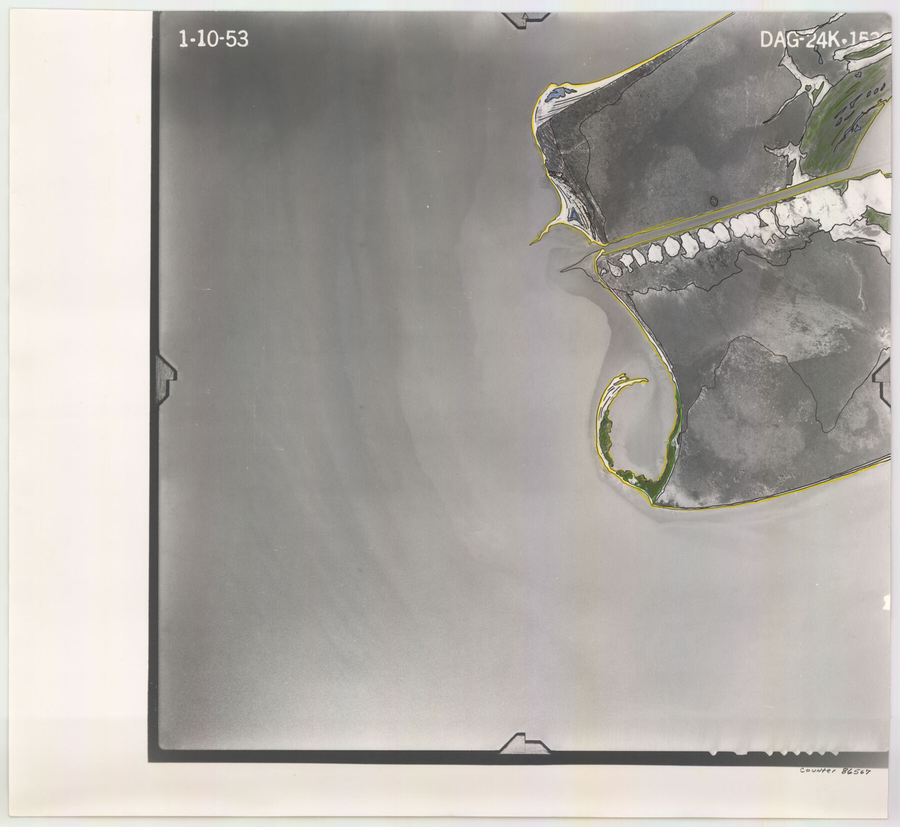
Flight Mission No. DAG-24K, Frame 153, Matagorda County
DAG-24K-153
-
Map/Doc
86567
-
Collection
General Map Collection
-
Object Dates
1953/1/10 (Creation Date)
-
People and Organizations
U. S. Department of Agriculture (Publisher)
-
Counties
Matagorda
-
Subjects
Aerial Photograph
-
Height x Width
17.3 x 18.8 inches
43.9 x 47.8 cm
-
Comments
Flown by Aero Exploration Company of Tulsa, Oklahoma.
Part of: General Map Collection
Terrell County Sketch File 38

Print $6.00
- Digital $50.00
Terrell County Sketch File 38
1987
Size 11.3 x 8.8 inches
Map/Doc 38001
Mills County Working Sketch 14

Print $20.00
- Digital $50.00
Mills County Working Sketch 14
1946
Size 27.5 x 28.1 inches
Map/Doc 71044
Flight Mission No. BRA-7M, Frame 25, Jefferson County

Print $20.00
- Digital $50.00
Flight Mission No. BRA-7M, Frame 25, Jefferson County
1953
Size 18.6 x 22.2 inches
Map/Doc 85476
Cameron County Aerial Photograph Index Sheet 5

Print $20.00
- Digital $50.00
Cameron County Aerial Photograph Index Sheet 5
1955
Size 18.8 x 17.8 inches
Map/Doc 83677
Presidio County Rolled Sketch 74

Print $20.00
- Digital $50.00
Presidio County Rolled Sketch 74
Size 20.5 x 14.0 inches
Map/Doc 7362
Wise County Sketch File 50

Print $20.00
- Digital $50.00
Wise County Sketch File 50
1895
Size 23.7 x 29.9 inches
Map/Doc 12703
Kendall County Rolled Sketch 5

Print $20.00
- Digital $50.00
Kendall County Rolled Sketch 5
Size 23.4 x 19.3 inches
Map/Doc 6458
Kendall County Working Sketch 22

Print $20.00
- Digital $50.00
Kendall County Working Sketch 22
1971
Size 41.6 x 34.7 inches
Map/Doc 66694
Borden County Sketch File 11

Print $4.00
- Digital $50.00
Borden County Sketch File 11
1892
Size 11.0 x 8.9 inches
Map/Doc 14730
Irion County Working Sketch 4

Print $20.00
- Digital $50.00
Irion County Working Sketch 4
1925
Size 19.4 x 28.1 inches
Map/Doc 66413
Dickens County Sketch File 2a

Print $4.00
- Digital $50.00
Dickens County Sketch File 2a
1884
Size 14.2 x 8.9 inches
Map/Doc 20950
Deaf Smith County Sketch File E

Print $20.00
- Digital $50.00
Deaf Smith County Sketch File E
Size 22.3 x 12.9 inches
Map/Doc 11308
You may also like
Flight Mission No. DCL-7C, Frame 44, Kenedy County

Print $20.00
- Digital $50.00
Flight Mission No. DCL-7C, Frame 44, Kenedy County
1943
Size 15.4 x 15.2 inches
Map/Doc 86032
Young County Working Sketch 9

Print $20.00
- Digital $50.00
Young County Working Sketch 9
1921
Size 25.9 x 36.6 inches
Map/Doc 62032
Oldham County Boundary File 1

Print $6.00
- Digital $50.00
Oldham County Boundary File 1
Size 8.8 x 7.2 inches
Map/Doc 57731
Bexar County Sketch File 40

Print $4.00
- Digital $50.00
Bexar County Sketch File 40
Size 8.4 x 7.0 inches
Map/Doc 14514
Flight Mission No. BRA-16M, Frame 139, Jefferson County

Print $20.00
- Digital $50.00
Flight Mission No. BRA-16M, Frame 139, Jefferson County
1953
Size 18.6 x 22.2 inches
Map/Doc 85745
Erath County Sketch File A2

Print $20.00
- Digital $50.00
Erath County Sketch File A2
Size 15.9 x 19.5 inches
Map/Doc 11464
Flight Mission No. DQN-3K, Frame 66, Calhoun County

Print $20.00
- Digital $50.00
Flight Mission No. DQN-3K, Frame 66, Calhoun County
1953
Size 18.7 x 22.5 inches
Map/Doc 84357
Right of Way and Track Map, Houston & Texas Central R.R. operated by the T. and N. O. R.R., Fort Worth Branch

Print $40.00
- Digital $50.00
Right of Way and Track Map, Houston & Texas Central R.R. operated by the T. and N. O. R.R., Fort Worth Branch
1918
Size 31.7 x 56.8 inches
Map/Doc 64784
Map Showing Part of the Blue Ridge Farm of the Texas Prison System, Fort Bend County, Texas

Print $20.00
- Digital $50.00
Map Showing Part of the Blue Ridge Farm of the Texas Prison System, Fort Bend County, Texas
Size 22.2 x 36.2 inches
Map/Doc 62979
Fort Bend County Rolled Sketch T

Print $20.00
- Digital $50.00
Fort Bend County Rolled Sketch T
1930
Size 28.7 x 25.8 inches
Map/Doc 5908
Stonewall County Rolled Sketch 24B

Print $40.00
- Digital $50.00
Stonewall County Rolled Sketch 24B
1954
Size 50.1 x 43.1 inches
Map/Doc 9964
Matagorda County NRC Article 33.136 Sketch 6

Print $42.00
- Digital $50.00
Matagorda County NRC Article 33.136 Sketch 6
2010
Size 22.0 x 34.0 inches
Map/Doc 94646