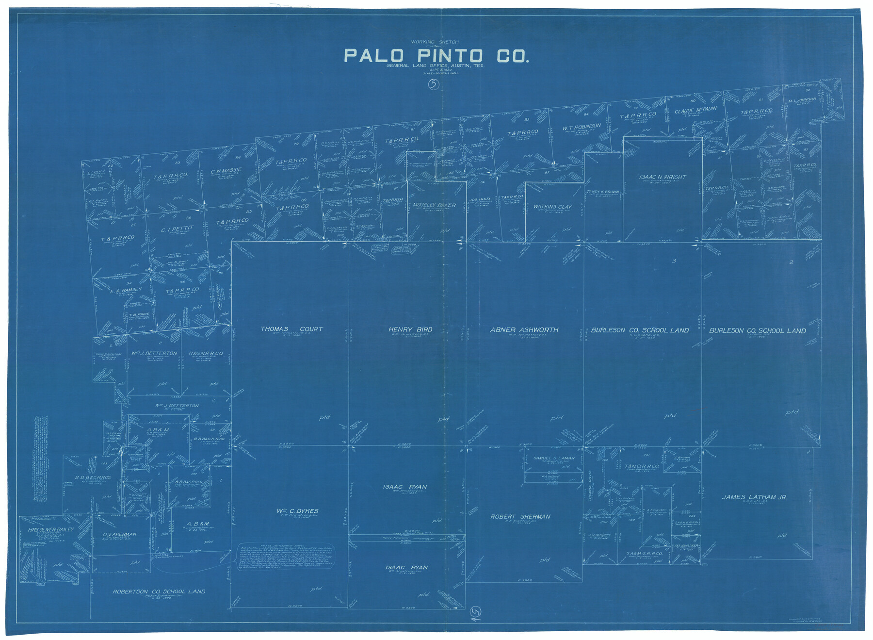
Palo Pinto County Working Sketch 5
-
Map/Doc
71388
-
Collection
General Map Collection
-
Object Dates
9/3/1920 (Creation Date)
-
People and Organizations
G.C. Morriss (Compiler)
Grady W. Davis (Tracer)
-
Counties
Palo Pinto
-
Subjects
Surveying Working Sketch
-
Scale
1" = 500 varas
Part of: General Map Collection
Brewster County Sketch File N-22

Print $40.00
- Digital $50.00
Brewster County Sketch File N-22
Size 12.4 x 21.4 inches
Map/Doc 10969
Hill County Rolled Sketch 1

Print $20.00
- Digital $50.00
Hill County Rolled Sketch 1
1950
Size 13.1 x 41.0 inches
Map/Doc 6214
Young County Rolled Sketch 16

Print $20.00
- Digital $50.00
Young County Rolled Sketch 16
1982
Size 19.1 x 31.3 inches
Map/Doc 8304
Presidio County Rolled Sketch 90

Print $20.00
- Digital $50.00
Presidio County Rolled Sketch 90
1947
Size 20.5 x 24.4 inches
Map/Doc 7375
Wheeler County Working Sketch 15

Print $20.00
- Digital $50.00
Wheeler County Working Sketch 15
1981
Size 27.9 x 29.3 inches
Map/Doc 72504
Webb County Sketch File 44a

Print $20.00
- Digital $50.00
Webb County Sketch File 44a
1936
Size 29.4 x 18.2 inches
Map/Doc 12640
Culberson County Rolled Sketch 43A

Print $20.00
- Digital $50.00
Culberson County Rolled Sketch 43A
1947
Size 21.7 x 37.2 inches
Map/Doc 5665
Harris County Working Sketch 45

Print $20.00
- Digital $50.00
Harris County Working Sketch 45
1942
Size 26.6 x 31.9 inches
Map/Doc 65937
Refugio County Aerial Photograph Index Sheet 5

Print $20.00
- Digital $50.00
Refugio County Aerial Photograph Index Sheet 5
1957
Size 23.2 x 18.9 inches
Map/Doc 83743
Lavaca County Working Sketch 22

Print $20.00
- Digital $50.00
Lavaca County Working Sketch 22
1983
Size 39.6 x 36.4 inches
Map/Doc 70375
Real County Working Sketch 21

Print $20.00
- Digital $50.00
Real County Working Sketch 21
1944
Size 24.8 x 35.7 inches
Map/Doc 71913
Map of Eastland Co.

Print $20.00
- Digital $50.00
Map of Eastland Co.
1896
Size 43.1 x 44.2 inches
Map/Doc 4937
You may also like
A Map of Harrison County

Print $20.00
- Digital $50.00
A Map of Harrison County
1846
Size 40.5 x 30.7 inches
Map/Doc 1460
Jack County Boundary File 2

Print $48.00
- Digital $50.00
Jack County Boundary File 2
Size 14.3 x 8.8 inches
Map/Doc 55384
Flight Mission No. CRC-3R, Frame 28, Chambers County

Print $20.00
- Digital $50.00
Flight Mission No. CRC-3R, Frame 28, Chambers County
1956
Size 18.8 x 22.4 inches
Map/Doc 84803
Reeves County Working Sketch 19

Print $20.00
- Digital $50.00
Reeves County Working Sketch 19
1962
Size 42.3 x 42.7 inches
Map/Doc 63462
Kaufman County Working Sketch Graphic Index

Print $20.00
- Digital $50.00
Kaufman County Working Sketch Graphic Index
1942
Size 46.1 x 38.3 inches
Map/Doc 76601
Erath County Working Sketch 20

Print $20.00
- Digital $50.00
Erath County Working Sketch 20
1964
Size 16.3 x 22.0 inches
Map/Doc 69101
Railroad Track Map, H&TCRRCo., Falls County, Texas

Print $4.00
- Digital $50.00
Railroad Track Map, H&TCRRCo., Falls County, Texas
1918
Size 11.5 x 18.4 inches
Map/Doc 62846
Travis County Sketch File XYZ

Print $4.00
- Digital $50.00
Travis County Sketch File XYZ
Size 10.1 x 8.3 inches
Map/Doc 38352
Menard County Rolled Sketch 11

Print $20.00
- Digital $50.00
Menard County Rolled Sketch 11
1962
Size 24.8 x 20.1 inches
Map/Doc 6757
Concho County Sketch File 50

Print $20.00
- Digital $50.00
Concho County Sketch File 50
1890
Size 15.9 x 13.6 inches
Map/Doc 19217
El Paso County Rolled Sketch 31

Print $20.00
- Digital $50.00
El Paso County Rolled Sketch 31
1908
Size 39.9 x 32.0 inches
Map/Doc 8858
Montgomery County Rolled Sketch 42

Print $20.00
- Digital $50.00
Montgomery County Rolled Sketch 42
1939
Size 14.1 x 20.3 inches
Map/Doc 6815