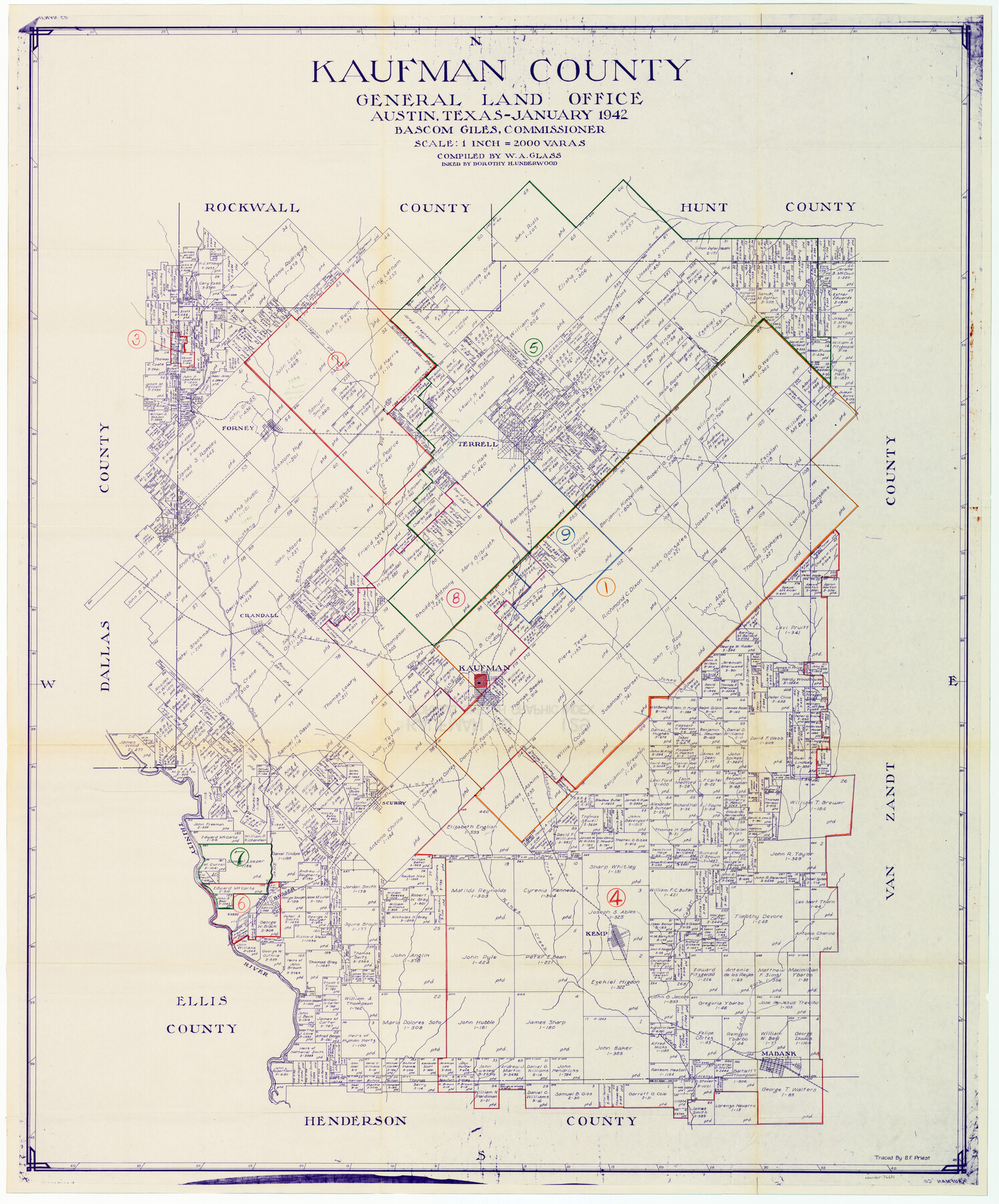
Kaufman County Working Sketch Graphic Index
-
Map/Doc
76601
-
Collection
General Map Collection
-
Object Dates
1/1942 (Creation Date)
-
People and Organizations
W.A. Glass (Compiler)
Dorothy H. Underwood (Inker)
B.F. Priest (Tracer)
-
Counties
Kaufman
-
Subjects
County Surveying Working Sketch
-
Height x Width
46.1 x 38.3 inches
117.1 x 97.3 cm
-
Scale
1" = 2000 varas
Part of: General Map Collection
Colorado County Sketch File 2

Print $4.00
- Digital $50.00
Colorado County Sketch File 2
Size 11.1 x 8.4 inches
Map/Doc 18911
Denison Dam Quadrangle

Print $20.00
- Digital $50.00
Denison Dam Quadrangle
1999
Size 35.4 x 23.4 inches
Map/Doc 97366
Hutchinson County Rolled Sketch 38

Print $40.00
- Digital $50.00
Hutchinson County Rolled Sketch 38
1953
Size 27.5 x 85.9 inches
Map/Doc 10679
Flight Mission No. CRC-2R, Frame 179, Chambers County

Print $20.00
- Digital $50.00
Flight Mission No. CRC-2R, Frame 179, Chambers County
1956
Size 18.6 x 22.3 inches
Map/Doc 84757
A General Map of North America drawn from the best surveys

Print $20.00
- Digital $50.00
A General Map of North America drawn from the best surveys
1795
Map/Doc 93944
Flight Mission No. DAG-18K, Frame 189, Matagorda County

Print $20.00
- Digital $50.00
Flight Mission No. DAG-18K, Frame 189, Matagorda County
1952
Size 18.5 x 22.3 inches
Map/Doc 86381
Dimmit County Sketch File 24

Print $4.00
- Digital $50.00
Dimmit County Sketch File 24
1885
Size 13.0 x 8.7 inches
Map/Doc 21140
Map from Corpus Christi to Matagorda Bays, Texas [Inset: Survey of the channel of Copono Bay]
![72976, Map from Corpus Christi to Matagorda Bays, Texas [Inset: Survey of the channel of Copono Bay], General Map Collection](https://historictexasmaps.com/wmedia_w700/maps/72976.tif.jpg)
Print $20.00
- Digital $50.00
Map from Corpus Christi to Matagorda Bays, Texas [Inset: Survey of the channel of Copono Bay]
1846
Size 18.1 x 27.5 inches
Map/Doc 72976
Cottle County Sketch File 18

Print $46.00
- Digital $50.00
Cottle County Sketch File 18
2004
Size 8.0 x 11.0 inches
Map/Doc 82433
Map of Eastland Co.

Print $20.00
- Digital $50.00
Map of Eastland Co.
1896
Size 40.8 x 43.8 inches
Map/Doc 66809
Collingsworth County Working Sketch Graphic Index

Print $20.00
- Digital $50.00
Collingsworth County Working Sketch Graphic Index
1971
Size 41.0 x 34.8 inches
Map/Doc 76499
Flight Mission No. BQR-5K, Frame 75, Brazoria County

Print $20.00
- Digital $50.00
Flight Mission No. BQR-5K, Frame 75, Brazoria County
1952
Size 18.8 x 22.4 inches
Map/Doc 84020
You may also like
Hemphill County Sketch File 8

Print $9.00
- Digital $50.00
Hemphill County Sketch File 8
Size 14.3 x 8.9 inches
Map/Doc 26308
[T. A. Thomson Block T, R. M. Thomson Block 1]
![90968, [T. A. Thomson Block T, R. M. Thomson Block 1], Twichell Survey Records](https://historictexasmaps.com/wmedia_w700/maps/90968-1.tif.jpg)
Print $20.00
- Digital $50.00
[T. A. Thomson Block T, R. M. Thomson Block 1]
Size 12.3 x 17.5 inches
Map/Doc 90968
Loving County Working Sketch 11

Print $40.00
- Digital $50.00
Loving County Working Sketch 11
1957
Size 21.6 x 50.9 inches
Map/Doc 70644
Map of the Cotton Belt Route, St. Louis Southwestern Railway Co., St. Louis Southwestern Railway Co. of Texas, Tyler Southeastern Railway Co. and connections

Print $20.00
- Digital $50.00
Map of the Cotton Belt Route, St. Louis Southwestern Railway Co., St. Louis Southwestern Railway Co. of Texas, Tyler Southeastern Railway Co. and connections
1898
Size 15.3 x 35.7 inches
Map/Doc 93954
Flight Mission No. CRC-2R, Frame 199, Chambers County

Print $20.00
- Digital $50.00
Flight Mission No. CRC-2R, Frame 199, Chambers County
1956
Size 18.6 x 22.4 inches
Map/Doc 84777
Sketch in Hockley County, Texas

Print $20.00
- Digital $50.00
Sketch in Hockley County, Texas
Size 10.7 x 31.4 inches
Map/Doc 91199
Val Verde County Sketch File 14

Print $20.00
- Digital $50.00
Val Verde County Sketch File 14
1879
Size 19.8 x 14.7 inches
Map/Doc 12565
Pecos County Working Sketch 18

Print $20.00
- Digital $50.00
Pecos County Working Sketch 18
1917
Size 18.4 x 20.9 inches
Map/Doc 71488
Deaf Smith County Working Sketch Graphic Index

Print $40.00
- Digital $50.00
Deaf Smith County Working Sketch Graphic Index
1926
Size 40.1 x 52.6 inches
Map/Doc 76519
Flight Mission No. DQO-3K, Frame 36, Galveston County

Print $20.00
- Digital $50.00
Flight Mission No. DQO-3K, Frame 36, Galveston County
1952
Size 18.7 x 22.4 inches
Map/Doc 85077
Hydrographic Survey H-6396 of Outer Coast of Padre Island; Gulf of Mexico

Print $40.00
- Digital $50.00
Hydrographic Survey H-6396 of Outer Coast of Padre Island; Gulf of Mexico
1938
Size 55.4 x 34.0 inches
Map/Doc 2698
Galveston County Aerial Photograph Index Sheet 1

Print $20.00
- Digital $50.00
Galveston County Aerial Photograph Index Sheet 1
1953
Size 23.4 x 19.2 inches
Map/Doc 83692