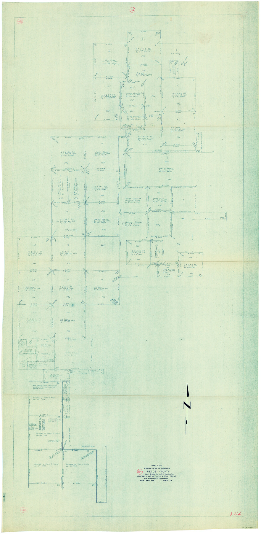
Pecos County Working Sketch 114
-
Map/Doc
71587
-
Collection
General Map Collection
-
Object Dates
9/26/1972 (Creation Date)
-
People and Organizations
Elbert Menzel (Draftsman)
-
Counties
Pecos
-
Subjects
Surveying Working Sketch
-
Height x Width
75.7 x 38.0 inches
192.3 x 96.5 cm
-
Scale
1" = 400 varas
Part of: General Map Collection
Map showing lines of march and border patrols, in my Mexican Border Service, 1916-1917

Print $20.00
- Digital $50.00
Map showing lines of march and border patrols, in my Mexican Border Service, 1916-1917
1916
Size 18.7 x 41.7 inches
Map/Doc 95822
Lipscomb County Rolled Sketch 7

Print $20.00
- Digital $50.00
Lipscomb County Rolled Sketch 7
1968
Size 23.6 x 23.4 inches
Map/Doc 6630
Flight Mission No. DAH-17M, Frame 26, Orange County

Print $20.00
- Digital $50.00
Flight Mission No. DAH-17M, Frame 26, Orange County
1953
Size 18.3 x 22.3 inches
Map/Doc 86889
Texas, Mexico and part of the United States compiled from the latest and best authorities

Print $20.00
- Digital $50.00
Texas, Mexico and part of the United States compiled from the latest and best authorities
1836
Size 9.1 x 11.0 inches
Map/Doc 95958
Starr County Rolled Sketch 29

Print $20.00
- Digital $50.00
Starr County Rolled Sketch 29
1857
Size 35.1 x 30.0 inches
Map/Doc 7812
Comal County Sketch File 13

Print $8.00
- Digital $50.00
Comal County Sketch File 13
1866
Size 9.5 x 14.9 inches
Map/Doc 19026
Nueces County Sketch File 22

Print $20.00
- Digital $50.00
Nueces County Sketch File 22
Size 19.0 x 31.0 inches
Map/Doc 42181
McMullen County Sketch File 46

Print $6.00
- Digital $50.00
McMullen County Sketch File 46
1943
Size 14.3 x 8.7 inches
Map/Doc 31434
Dallas County Working Sketch 16

Print $20.00
- Digital $50.00
Dallas County Working Sketch 16
1981
Size 15.7 x 12.0 inches
Map/Doc 68582
Roberts County Sketch File 8

Print $6.00
- Digital $50.00
Roberts County Sketch File 8
1992
Size 14.3 x 8.8 inches
Map/Doc 35324
[Fort Worth & Rio Grande Ry.]
![64354, [Fort Worth & Rio Grande Ry.], General Map Collection](https://historictexasmaps.com/wmedia_w700/maps/64354.tif.jpg)
Print $20.00
- Digital $50.00
[Fort Worth & Rio Grande Ry.]
Size 15.2 x 43.0 inches
Map/Doc 64354
Goliad County Sketch File 24

Print $16.00
- Digital $50.00
Goliad County Sketch File 24
1856
Size 12.9 x 8.2 inches
Map/Doc 24297
You may also like
Map of Blanco County

Print $20.00
- Digital $50.00
Map of Blanco County
1880
Size 23.9 x 18.2 inches
Map/Doc 3306
Flight Mission No. BRA-3M, Frame 123, Jefferson County

Print $20.00
- Digital $50.00
Flight Mission No. BRA-3M, Frame 123, Jefferson County
1953
Size 18.5 x 21.7 inches
Map/Doc 85397
Yellowhouse Addition to Littlefield, Texas Located on Labors 12 & 13 Capitol League 664

Print $20.00
- Digital $50.00
Yellowhouse Addition to Littlefield, Texas Located on Labors 12 & 13 Capitol League 664
1925
Size 26.9 x 26.7 inches
Map/Doc 92402
Navarro County Sketch File 6

Print $6.00
- Digital $50.00
Navarro County Sketch File 6
1849
Size 6.2 x 8.4 inches
Map/Doc 32310
Dickens County Sketch File 22

Print $8.00
- Digital $50.00
Dickens County Sketch File 22
1913
Size 11.2 x 9.1 inches
Map/Doc 20985
Wise County Working Sketch 8

Print $20.00
- Digital $50.00
Wise County Working Sketch 8
1953
Size 13.0 x 11.1 inches
Map/Doc 72622
Sherman County

Print $20.00
- Digital $50.00
Sherman County
1889
Size 22.3 x 19.0 inches
Map/Doc 4036
Terrell County Working Sketch 85

Print $20.00
- Digital $50.00
Terrell County Working Sketch 85
1994
Size 31.3 x 42.8 inches
Map/Doc 69609
McCulloch County Rolled Sketch 6

Print $20.00
- Digital $50.00
McCulloch County Rolled Sketch 6
1982
Size 27.9 x 33.9 inches
Map/Doc 6717
Angelina County Sketch File 28a

Print $14.00
- Digital $50.00
Angelina County Sketch File 28a
1910
Size 6.8 x 8.7 inches
Map/Doc 13080
San Augustine County Sketch File 7

Print $4.00
San Augustine County Sketch File 7
1858
Size 7.0 x 8.2 inches
Map/Doc 35646
Brazoria County Working Sketch 51

Print $20.00
- Digital $50.00
Brazoria County Working Sketch 51
2006
Size 34.0 x 38.0 inches
Map/Doc 83628