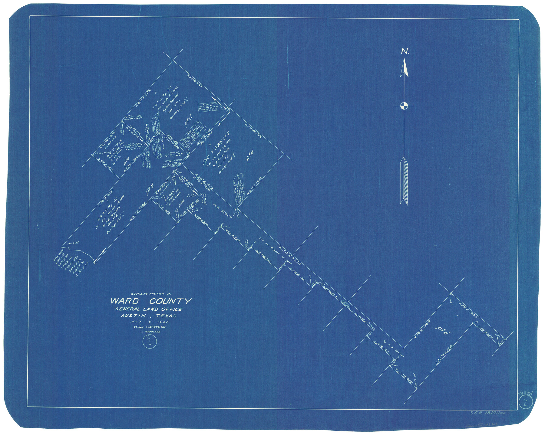
Ward County Working Sketch 2
-
Map/Doc
72308
-
Collection
General Map Collection
-
Object Dates
5/6/1937 (Creation Date)
-
People and Organizations
J.L. Woodland (Draftsman)
-
Counties
Ward
-
Subjects
Surveying Working Sketch
-
Height x Width
22.9 x 28.7 inches
58.2 x 72.9 cm
-
Scale
1" = 500 varas
Part of: General Map Collection
Mitchell County Rolled Sketch 4

Print $20.00
- Digital $50.00
Mitchell County Rolled Sketch 4
Size 32.6 x 41.4 inches
Map/Doc 6785
Starr County Working Sketch 8

Print $20.00
- Digital $50.00
Starr County Working Sketch 8
1939
Size 21.9 x 28.8 inches
Map/Doc 63924
Van Zandt County Working Sketch 12

Print $20.00
- Digital $50.00
Van Zandt County Working Sketch 12
1982
Size 21.5 x 20.7 inches
Map/Doc 72262
El Paso County Rolled Sketch W

Print $20.00
- Digital $50.00
El Paso County Rolled Sketch W
1916
Size 22.8 x 40.1 inches
Map/Doc 5859
Garza County Rolled Sketch 6B

Print $20.00
- Digital $50.00
Garza County Rolled Sketch 6B
Size 27.6 x 36.4 inches
Map/Doc 5996
Map of Polk Co.

Print $40.00
- Digital $50.00
Map of Polk Co.
1906
Size 49.0 x 40.8 inches
Map/Doc 66981
Potter County Sketch File 13

Print $20.00
- Digital $50.00
Potter County Sketch File 13
Size 21.6 x 16.6 inches
Map/Doc 12199
Dickens County Boundary File 3

Print $28.00
- Digital $50.00
Dickens County Boundary File 3
Size 14.1 x 8.8 inches
Map/Doc 52541
Blanco County Sketch File 37

Print $4.00
- Digital $50.00
Blanco County Sketch File 37
Size 8.7 x 14.1 inches
Map/Doc 14646
[Texas Gulf Coast from Rio Grande to Sabine Lake]
![72687, [Texas Gulf Coast from Rio Grande to Sabine Lake], General Map Collection](https://historictexasmaps.com/wmedia_w700/maps/72687.tif.jpg)
Print $20.00
- Digital $50.00
[Texas Gulf Coast from Rio Grande to Sabine Lake]
Size 28.1 x 18.3 inches
Map/Doc 72687
Calcasieu Pass to Sabine Pass

Print $20.00
- Digital $50.00
Calcasieu Pass to Sabine Pass
1982
Size 45.0 x 36.6 inches
Map/Doc 69814
Liberty County Working Sketch 27

Print $20.00
- Digital $50.00
Liberty County Working Sketch 27
1942
Size 22.1 x 25.2 inches
Map/Doc 70486
You may also like
Lubbock County

Print $20.00
- Digital $50.00
Lubbock County
1968
Size 43.5 x 35.4 inches
Map/Doc 77359
![90772, [Block XR], Twichell Survey Records](https://historictexasmaps.com/wmedia_w700/maps/90772-1.tif.jpg)
Henderson County Boundary File 2

Print $12.00
- Digital $50.00
Henderson County Boundary File 2
Size 10.6 x 8.2 inches
Map/Doc 54650
Foard County Sketch File 31

Print $6.00
- Digital $50.00
Foard County Sketch File 31
1945
Size 14.5 x 9.1 inches
Map/Doc 22861
DeWitt County Rolled Sketch 3

Print $20.00
- Digital $50.00
DeWitt County Rolled Sketch 3
1950
Size 19.9 x 37.8 inches
Map/Doc 5703
[Caddo Lake & Subdivisions]
![2896, [Caddo Lake & Subdivisions], General Map Collection](https://historictexasmaps.com/wmedia_w700/maps/2896-1.tif.jpg)
Print $20.00
- Digital $50.00
[Caddo Lake & Subdivisions]
1918
Size 31.3 x 28.6 inches
Map/Doc 2896
Hutchinson County Rolled Sketch 42

Print $40.00
- Digital $50.00
Hutchinson County Rolled Sketch 42
Size 38.0 x 49.5 inches
Map/Doc 6307
Kerr County Sketch File 11

Print $4.00
- Digital $50.00
Kerr County Sketch File 11
1889
Size 14.2 x 8.7 inches
Map/Doc 28879
[Index map of T. & P. Ry. Company’s 80-mile Trans-Pecos Reserve’s perpetuated corners - South Part]
![69766, [Index map of T. & P. Ry. Company’s 80-mile Trans-Pecos Reserve’s perpetuated corners - South Part], General Map Collection](https://historictexasmaps.com/wmedia_w700/maps/69766.tif.jpg)
Print $40.00
- Digital $50.00
[Index map of T. & P. Ry. Company’s 80-mile Trans-Pecos Reserve’s perpetuated corners - South Part]
Size 23.1 x 90.1 inches
Map/Doc 69766
Galveston Bay Entrance - Galveston and Texas City Harbors

Print $40.00
- Digital $50.00
Galveston Bay Entrance - Galveston and Texas City Harbors
1992
Size 37.1 x 55.6 inches
Map/Doc 69866
Brazoria County Sketch File 39

Print $8.00
- Digital $50.00
Brazoria County Sketch File 39
1933
Size 11.3 x 8.8 inches
Map/Doc 15045
Rockwall County Working Sketch Graphic Index

Print $20.00
- Digital $50.00
Rockwall County Working Sketch Graphic Index
1941
Size 30.0 x 23.5 inches
Map/Doc 76686