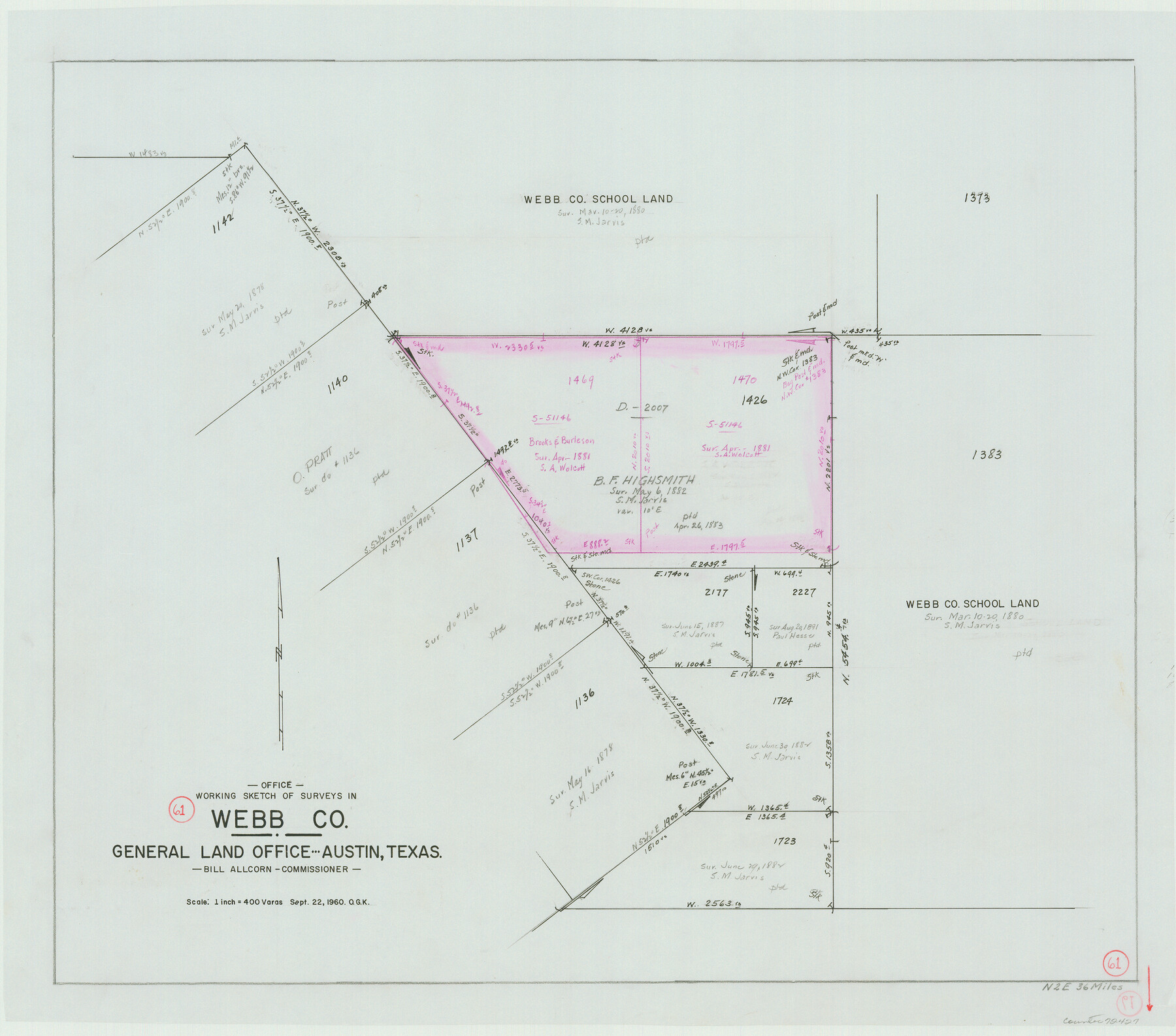
Webb County Working Sketch 61
-
Map/Doc
72427
-
Collection
General Map Collection
-
Object Dates
9/22/1960 (Creation Date)
-
People and Organizations
Otto G. Kurio (Draftsman)
-
Counties
Webb
-
Subjects
Surveying Working Sketch
-
Height x Width
24.7 x 28.0 inches
62.7 x 71.1 cm
-
Scale
1" = 400 varas
Part of: General Map Collection
Brewster County Rolled Sketch 114

Print $20.00
- Digital $50.00
Brewster County Rolled Sketch 114
1964
Size 12.0 x 18.4 inches
Map/Doc 5278
Map of Jack County

Print $20.00
- Digital $50.00
Map of Jack County
1896
Size 20.3 x 17.7 inches
Map/Doc 3699
Dickens County Sketch File 9

Print $4.00
- Digital $50.00
Dickens County Sketch File 9
Size 21.6 x 20.9 inches
Map/Doc 11319
Webb County Working Sketch 27

Print $20.00
- Digital $50.00
Webb County Working Sketch 27
1932
Size 24.0 x 19.5 inches
Map/Doc 72392
Montgomery County Rolled Sketch 40

Print $393.00
- Digital $50.00
Montgomery County Rolled Sketch 40
1970
Size 10.3 x 16.0 inches
Map/Doc 46793
Shaw Farm, State Prison Farm, Bowie County

Print $20.00
- Digital $50.00
Shaw Farm, State Prison Farm, Bowie County
Size 15.7 x 17.2 inches
Map/Doc 82854
Matagorda Light to Aransas Pass

Print $20.00
- Digital $50.00
Matagorda Light to Aransas Pass
1972
Size 35.9 x 44.8 inches
Map/Doc 73400
Presidio County Sketch File 68

Print $4.00
- Digital $50.00
Presidio County Sketch File 68
1941
Size 11.2 x 8.8 inches
Map/Doc 34662
Flight Mission No. BRA-16M, Frame 169, Jefferson County

Print $20.00
- Digital $50.00
Flight Mission No. BRA-16M, Frame 169, Jefferson County
1953
Size 18.7 x 22.6 inches
Map/Doc 85767
Flight Mission No. CRC-6R, Frame 11, Chambers County

Print $20.00
- Digital $50.00
Flight Mission No. CRC-6R, Frame 11, Chambers County
1956
Size 18.6 x 22.3 inches
Map/Doc 84965
Shelby County Sketch File 18

Print $4.00
- Digital $50.00
Shelby County Sketch File 18
1875
Size 7.2 x 6.1 inches
Map/Doc 36636
Henderson County Working Sketch 21

Print $20.00
- Digital $50.00
Henderson County Working Sketch 21
1948
Size 17.1 x 16.2 inches
Map/Doc 66154
You may also like
Bexar County Sketch File 41

Print $4.00
- Digital $50.00
Bexar County Sketch File 41
Size 8.3 x 5.3 inches
Map/Doc 14516
Gregg County Sketch File 11

Print $12.00
- Digital $50.00
Gregg County Sketch File 11
1933
Size 14.4 x 8.9 inches
Map/Doc 24591
Aransas County Sketch File 29

Print $24.00
- Digital $50.00
Aransas County Sketch File 29
Size 7.8 x 8.1 inches
Map/Doc 13234
Kimble County Rolled Sketch 20

Print $20.00
- Digital $50.00
Kimble County Rolled Sketch 20
Size 14.6 x 18.1 inches
Map/Doc 6511
McMullen County Sketch File 13

Print $4.00
- Digital $50.00
McMullen County Sketch File 13
1876
Size 10.0 x 8.0 inches
Map/Doc 31359
Brewster County Working Sketch Graphic Index, North Part, Sheet 1 (Sketches 1 to 86)

Print $20.00
- Digital $50.00
Brewster County Working Sketch Graphic Index, North Part, Sheet 1 (Sketches 1 to 86)
1956
Size 42.3 x 40.4 inches
Map/Doc 76473
[B. S. & F. Block 9]
![91812, [B. S. & F. Block 9], Twichell Survey Records](https://historictexasmaps.com/wmedia_w700/maps/91812-1.tif.jpg)
Print $20.00
- Digital $50.00
[B. S. & F. Block 9]
Size 38.0 x 18.6 inches
Map/Doc 91812
Colorado County Working Sketch 28

Print $20.00
- Digital $50.00
Colorado County Working Sketch 28
1979
Size 33.5 x 24.3 inches
Map/Doc 68128
Sectional Map of Texas traversed by the Southern Pacific Lines and connections

Print $20.00
- Digital $50.00
Sectional Map of Texas traversed by the Southern Pacific Lines and connections
1916
Size 20.6 x 22.3 inches
Map/Doc 95800
Aransas County NRC Article 33.136 Sketch 3

Print $20.00
- Digital $50.00
Aransas County NRC Article 33.136 Sketch 3
2003
Size 25.1 x 36.1 inches
Map/Doc 80138
From Citizens of Washington County to Establish a New Eastern Boundary, November 30, 1837

Print $20.00
From Citizens of Washington County to Establish a New Eastern Boundary, November 30, 1837
2020
Size 14.2 x 21.7 inches
Map/Doc 96375
Houston Ship Channel, Alexander Island to Carpenter Bayou

Print $20.00
- Digital $50.00
Houston Ship Channel, Alexander Island to Carpenter Bayou
1975
Size 35.1 x 46.6 inches
Map/Doc 69911