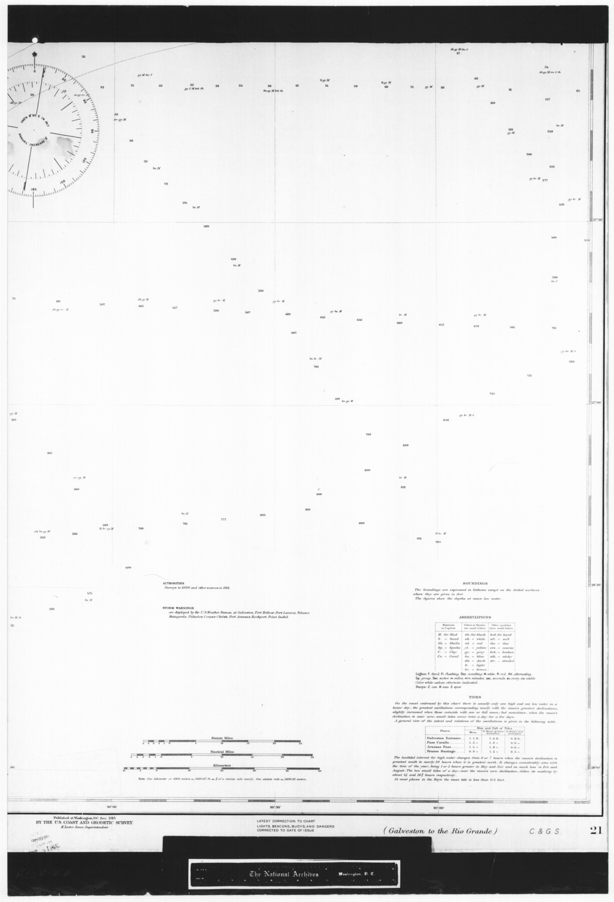
United States Gulf Coast - from Galveston to the Rio Grande
RL-2-2b
-
Map/Doc
72732
-
Collection
General Map Collection
-
Object Dates
1915 (Creation Date)
-
People and Organizations
U. S. Coast and Geodetic Survey (Publisher)
-
Subjects
Nautical Charts
-
Height x Width
26.9 x 18.3 inches
68.3 x 46.5 cm
-
Comments
B/W photostat copy from National Archives in multiple pieces.
Part of: General Map Collection
Reeves County Rolled Sketch 25

Print $20.00
- Digital $50.00
Reeves County Rolled Sketch 25
1982
Size 22.3 x 20.6 inches
Map/Doc 7494
Amistad International Reservoir on Rio Grande 78

Print $20.00
- Digital $50.00
Amistad International Reservoir on Rio Grande 78
1949
Size 28.5 x 40.2 inches
Map/Doc 75506
Flight Mission No. CRK-3P, Frame 175, Refugio County

Print $20.00
- Digital $50.00
Flight Mission No. CRK-3P, Frame 175, Refugio County
1956
Size 18.6 x 21.7 inches
Map/Doc 86922
San Patricio County Rolled Sketch 22

Print $20.00
- Digital $50.00
San Patricio County Rolled Sketch 22
1882
Size 19.3 x 23.9 inches
Map/Doc 7581
Bastrop County Boundary File 6

Print $20.00
- Digital $50.00
Bastrop County Boundary File 6
Size 8.8 x 7.9 inches
Map/Doc 50337
Ward County Working Sketch 1

Print $20.00
- Digital $50.00
Ward County Working Sketch 1
1937
Size 24.7 x 24.5 inches
Map/Doc 72307
L'Amerique Meridionale, et Septentrionale Dressee selon les derniers Relations et suivant les Nouvelles Decouvertes

Print $20.00
- Digital $50.00
L'Amerique Meridionale, et Septentrionale Dressee selon les derniers Relations et suivant les Nouvelles Decouvertes
1726
Size 18.9 x 24.1 inches
Map/Doc 95134
Erath County Working Sketch 50a

Print $20.00
- Digital $50.00
Erath County Working Sketch 50a
Size 43.2 x 37.0 inches
Map/Doc 69131

Flight Mission No. DQN-2K, Frame 165, Calhoun County

Print $20.00
- Digital $50.00
Flight Mission No. DQN-2K, Frame 165, Calhoun County
1953
Size 18.5 x 22.3 inches
Map/Doc 84327
Dallam County Sketch File 4

Print $20.00
- Digital $50.00
Dallam County Sketch File 4
Size 27.7 x 8.5 inches
Map/Doc 11279
Bandera County Working Sketch 16a

Print $20.00
- Digital $50.00
Bandera County Working Sketch 16a
1941
Size 12.8 x 22.1 inches
Map/Doc 67609
You may also like
Upshur County Sketch File 1

Print $9.00
- Digital $50.00
Upshur County Sketch File 1
1854
Size 5.5 x 4.5 inches
Map/Doc 38728
Refugio County, Texas

Print $20.00
- Digital $50.00
Refugio County, Texas
1879
Size 19.9 x 29.0 inches
Map/Doc 600
Jones County Sketch File 10a

Print $40.00
- Digital $50.00
Jones County Sketch File 10a
1875
Size 40.0 x 50.6 inches
Map/Doc 10509
Travis County Boundary File 27

Print $2.00
- Digital $50.00
Travis County Boundary File 27
Size 8.4 x 12.9 inches
Map/Doc 59463
Val Verde County Sketch File Z16

Print $20.00
- Digital $50.00
Val Verde County Sketch File Z16
1905
Size 21.4 x 20.9 inches
Map/Doc 12557
Index Map No. 1 - Rio Bravo del Norte section of boundary between the United States & Mexico; agreed upon by the Joint Commission under the Treaty of Guadalupe Hidalgo

Print $20.00
- Digital $50.00
Index Map No. 1 - Rio Bravo del Norte section of boundary between the United States & Mexico; agreed upon by the Joint Commission under the Treaty of Guadalupe Hidalgo
1852
Size 18.3 x 27.5 inches
Map/Doc 72862
Keuffel and Esser Co. odometer in leather case and wagon wheel

Keuffel and Esser Co. odometer in leather case and wagon wheel
Map/Doc 97376
Lubbock County Sketch File 13

Print $20.00
- Digital $50.00
Lubbock County Sketch File 13
1952
Size 20.4 x 14.5 inches
Map/Doc 12018
Van Zandt County Rolled Sketch 10

Print $20.00
- Digital $50.00
Van Zandt County Rolled Sketch 10
1989
Size 33.7 x 40.6 inches
Map/Doc 10092

Randall County Working Sketch Graphic Index

Print $20.00
- Digital $50.00
Randall County Working Sketch Graphic Index
1958
Size 41.2 x 33.2 inches
Map/Doc 76676
[Borden County Lines - Description of County Line Markers]
![90215, [Borden County Lines - Description of County Line Markers], Twichell Survey Records](https://historictexasmaps.com/wmedia_w700/maps/90215-1.tif.jpg)
Print $3.00
- Digital $50.00
[Borden County Lines - Description of County Line Markers]
Size 14.4 x 10.1 inches
Map/Doc 90215