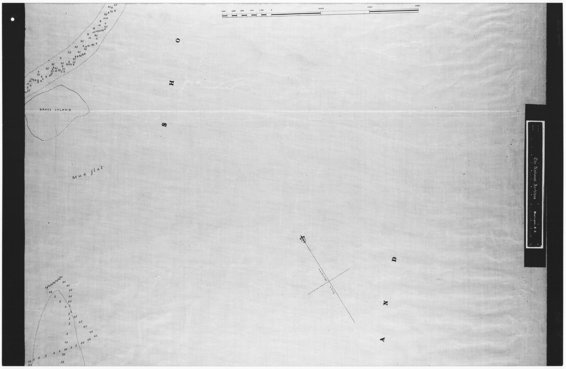
No. 3 Chart of Channel connecting Corpus Christi Bay with Aransas Bay, Texas
RL-2-8
-
Map/Doc
72774
-
Collection
General Map Collection
-
Object Dates
1878/9/17 (Creation Date)
-
People and Organizations
Corps of Engineers (Author)
H.S. Douglas (Surveyor/Engineer)
W.H. Hoffman (Surveyor/Engineer)
H.C. Collins (Surveyor/Engineer)
-
Counties
Nueces
-
Subjects
Nautical Charts
-
Height x Width
18.2 x 27.9 inches
46.2 x 70.9 cm
-
Comments
B/W photostat copy from National Archives in multiple pieces.
Part of: General Map Collection
Lampasas County Working Sketch 2

Print $20.00
- Digital $50.00
Lampasas County Working Sketch 2
1936
Size 14.4 x 18.0 inches
Map/Doc 70279
Tom Green County Working Sketch 11

Print $20.00
- Digital $50.00
Tom Green County Working Sketch 11
1968
Size 33.9 x 39.2 inches
Map/Doc 69380
Webb County Rolled Sketch 76

Print $20.00
- Digital $50.00
Webb County Rolled Sketch 76
1959
Size 32.8 x 44.0 inches
Map/Doc 10133
Schleicher County Working Sketch 23

Print $20.00
- Digital $50.00
Schleicher County Working Sketch 23
1953
Size 42.6 x 40.6 inches
Map/Doc 63825
Trinity County Rolled Sketch 2

Print $20.00
- Digital $50.00
Trinity County Rolled Sketch 2
1948
Size 34.5 x 34.9 inches
Map/Doc 10024
Motley County Sketch File 38 (N)

Print $106.00
- Digital $50.00
Motley County Sketch File 38 (N)
1910
Size 14.4 x 8.8 inches
Map/Doc 32086
[Sketch showing the Rio Grande with towns and features annotated]
![72895, [Sketch showing the Rio Grande with towns and features annotated], General Map Collection](https://historictexasmaps.com/wmedia_w700/maps/72895.tif.jpg)
Print $20.00
- Digital $50.00
[Sketch showing the Rio Grande with towns and features annotated]
1854
Size 24.4 x 18.3 inches
Map/Doc 72895
[Surveys between Upper Keechi Creek and the Trinity River]
![293, [Surveys between Upper Keechi Creek and the Trinity River], General Map Collection](https://historictexasmaps.com/wmedia_w700/maps/293.tif.jpg)
Print $2.00
- Digital $50.00
[Surveys between Upper Keechi Creek and the Trinity River]
Size 8.5 x 6.9 inches
Map/Doc 293
[Sketch for Mineral Application 20124, North Fork of Red River]
![2826, [Sketch for Mineral Application 20124, North Fork of Red River], General Map Collection](https://historictexasmaps.com/wmedia_w700/maps/2826.tif.jpg)
Print $20.00
- Digital $50.00
[Sketch for Mineral Application 20124, North Fork of Red River]
1943
Size 18.5 x 26.0 inches
Map/Doc 2826
East Part of Brewster Co.

Print $40.00
- Digital $50.00
East Part of Brewster Co.
1952
Size 48.7 x 29.6 inches
Map/Doc 66734
Travis County Rolled Sketch 16

Print $20.00
- Digital $50.00
Travis County Rolled Sketch 16
1940
Size 21.0 x 18.4 inches
Map/Doc 8018
Red River County Working Sketch 15

Print $20.00
- Digital $50.00
Red River County Working Sketch 15
1953
Size 25.8 x 23.4 inches
Map/Doc 71998
You may also like
Pecos County Sketch

Print $20.00
- Digital $50.00
Pecos County Sketch
1928
Size 38.6 x 21.6 inches
Map/Doc 91616
Map of the State of Texas

Print $20.00
- Digital $50.00
Map of the State of Texas
1881
Size 15.7 x 21.7 inches
Map/Doc 96614
Flight Mission No. DQO-1K, Frame 156, Galveston County

Print $20.00
- Digital $50.00
Flight Mission No. DQO-1K, Frame 156, Galveston County
1952
Size 18.8 x 22.4 inches
Map/Doc 85009
Gaines County Working Sketch 35

Print $20.00
- Digital $50.00
Gaines County Working Sketch 35
1991
Size 36.4 x 42.8 inches
Map/Doc 69335
Trinity County Sketch File 41

Print $4.00
- Digital $50.00
Trinity County Sketch File 41
1857
Size 10.0 x 8.0 inches
Map/Doc 38597
Trinity River, Cooks Ferry Sheet

Print $40.00
- Digital $50.00
Trinity River, Cooks Ferry Sheet
1926
Size 36.5 x 56.2 inches
Map/Doc 65215
[Pencil Sketch of a portion of Block D-8]
![91872, [Pencil Sketch of a portion of Block D-8], Twichell Survey Records](https://historictexasmaps.com/wmedia_w700/maps/91872-1.tif.jpg)
Print $2.00
- Digital $50.00
[Pencil Sketch of a portion of Block D-8]
1937
Size 14.5 x 9.1 inches
Map/Doc 91872
Hockley County Sketch File 18

Print $40.00
- Digital $50.00
Hockley County Sketch File 18
1930
Size 18.9 x 8.6 inches
Map/Doc 26553
Northwest Section of Ramsey State Farm

Print $20.00
- Digital $50.00
Northwest Section of Ramsey State Farm
Size 12.6 x 17.2 inches
Map/Doc 94281
Motley County Working Sketch 2

Print $20.00
- Digital $50.00
Motley County Working Sketch 2
1895
Size 17.3 x 21.3 inches
Map/Doc 71207
Subdivision of Kent County School Land, Dawson and Martin Counties, Texas

Print $20.00
- Digital $50.00
Subdivision of Kent County School Land, Dawson and Martin Counties, Texas
Size 24.5 x 27.3 inches
Map/Doc 92625
Panola County Rolled Sketch 8

Print $20.00
- Digital $50.00
Panola County Rolled Sketch 8
1986
Size 20.1 x 18.0 inches
Map/Doc 7201