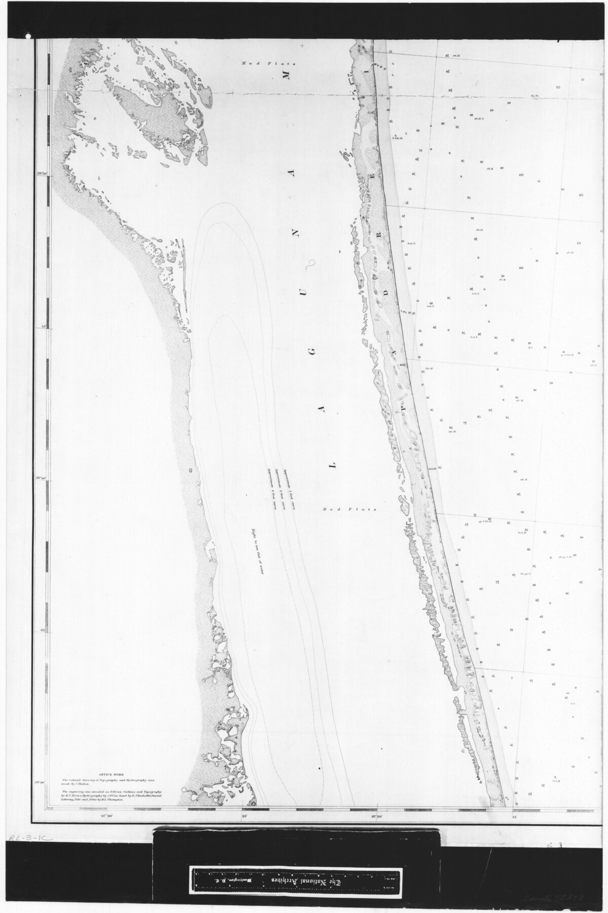
Coast Chart No. 211 - Padre I. and Laguna Madre Lat. 27° 12' to Lat. 26° 33' Texas
RL-3-1c
-
Map/Doc
72823
-
Collection
General Map Collection
-
Object Dates
1890 (Creation Date)
-
People and Organizations
U. S. Coastal and Geodetic Survey (Publisher)
C. Mahon (Draftsman)
-
Counties
Nueces
-
Subjects
Nautical Charts
-
Height x Width
27.5 x 18.3 inches
69.9 x 46.5 cm
-
Comments
B/W photostat copy from National Archives in multiple pieces.
Part of: General Map Collection
San Felipe Town Tract & Adjoining Survey for S. F. Austin and A. Lester

Print $2.00
- Digital $50.00
San Felipe Town Tract & Adjoining Survey for S. F. Austin and A. Lester
Size 9.9 x 8.1 inches
Map/Doc 78368
Leon County Working Sketch 7

Print $20.00
- Digital $50.00
Leon County Working Sketch 7
1913
Size 13.7 x 16.7 inches
Map/Doc 70406
Bexar County Sketch File 55

Print $20.00
- Digital $50.00
Bexar County Sketch File 55
1838
Size 13.3 x 8.3 inches
Map/Doc 14560
Webb County Working Sketch 45

Print $20.00
- Digital $50.00
Webb County Working Sketch 45
1944
Size 28.1 x 28.9 inches
Map/Doc 72410
Flight Mission No. BRA-7M, Frame 186, Jefferson County

Print $20.00
- Digital $50.00
Flight Mission No. BRA-7M, Frame 186, Jefferson County
1953
Size 18.4 x 22.2 inches
Map/Doc 85554
Aransas County NRC Article 33.136 Sketch 4

Print $28.00
- Digital $50.00
Aransas County NRC Article 33.136 Sketch 4
2005
Size 24.3 x 36.5 inches
Map/Doc 83353
Van Zandt County

Print $20.00
- Digital $50.00
Van Zandt County
1921
Size 45.5 x 41.0 inches
Map/Doc 16914
Montgomery County Working Sketch 15

Print $40.00
- Digital $50.00
Montgomery County Working Sketch 15
1934
Size 51.8 x 41.6 inches
Map/Doc 71122
Nueces County Sketch File 43

Print $24.00
- Digital $50.00
Nueces County Sketch File 43
1952
Size 14.2 x 8.6 inches
Map/Doc 32635
Randall County Sketch File 5

Print $20.00
- Digital $50.00
Randall County Sketch File 5
1931
Size 23.9 x 41.7 inches
Map/Doc 10583
Galveston County NRC Article 33.136 Sketch 40

Print $22.00
- Digital $50.00
Galveston County NRC Article 33.136 Sketch 40
2005
Size 23.9 x 36.5 inches
Map/Doc 83061
Leon County Working Sketch 40

Print $20.00
- Digital $50.00
Leon County Working Sketch 40
1980
Size 31.4 x 20.5 inches
Map/Doc 70439
You may also like
Tyler County Sketch File 14

Print $4.00
- Digital $50.00
Tyler County Sketch File 14
1857
Size 8.3 x 10.1 inches
Map/Doc 38656
Cameron County NRC Article 33.136 Sketch 3

Print $7.00
- Digital $50.00
Cameron County NRC Article 33.136 Sketch 3
2003
Size 11.2 x 17.3 inches
Map/Doc 78540
Jasper County Sketch File 17

Print $20.00
- Digital $50.00
Jasper County Sketch File 17
1886
Size 27.5 x 35.4 inches
Map/Doc 10505
Terrell County Rolled Sketch 54

Print $20.00
- Digital $50.00
Terrell County Rolled Sketch 54
Size 18.8 x 22.6 inches
Map/Doc 7973
Hamilton County Sketch File 10 1/2

Print $44.00
- Digital $50.00
Hamilton County Sketch File 10 1/2
1876
Size 9.2 x 8.3 inches
Map/Doc 24931
Tyler County Boundary File 1

Print $2.00
- Digital $50.00
Tyler County Boundary File 1
Size 14.2 x 8.8 inches
Map/Doc 59494
Presidio County Sketch File 19a

Print $4.00
- Digital $50.00
Presidio County Sketch File 19a
1886
Size 13.8 x 8.8 inches
Map/Doc 34452
Hamilton County Working Sketch 1

Print $20.00
- Digital $50.00
Hamilton County Working Sketch 1
1914
Size 17.7 x 17.8 inches
Map/Doc 63339
Houston County Sketch File 4a

Print $4.00
- Digital $50.00
Houston County Sketch File 4a
1858
Size 13.0 x 8.3 inches
Map/Doc 26754
Hudspeth County Sketch File 7

Print $6.00
- Digital $50.00
Hudspeth County Sketch File 7
1900
Size 14.2 x 8.7 inches
Map/Doc 26892
Amherst Independent School District Situated in Lamb County, Texas

Print $20.00
- Digital $50.00
Amherst Independent School District Situated in Lamb County, Texas
Size 25.0 x 18.9 inches
Map/Doc 92203
