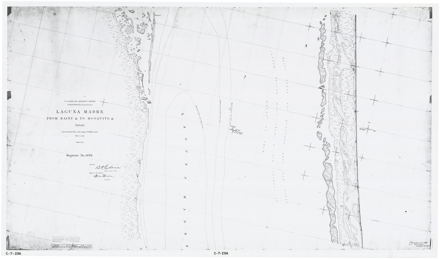
Laguna Madre from Rainy Triangulation Station to Mosquito Triangulation Station
C-7-29a
-
Map/Doc
73490
-
Collection
General Map Collection
-
Object Dates
1881 (Creation Date)
-
Counties
Kenedy
-
Subjects
Nautical Charts
-
Height x Width
31.4 x 53.7 inches
79.8 x 136.4 cm
-
Comments
Register No. 1676
Part of: General Map Collection

Presidio County Working Sketch 43

Print $40.00
- Digital $50.00
Presidio County Working Sketch 43
1949
Size 29.0 x 54.9 inches
Map/Doc 71720

Yoakum County Sketch File 12

Print $22.00
- Digital $50.00
Yoakum County Sketch File 12
1933
Size 13.8 x 17.8 inches
Map/Doc 40765
Rusk County Sketch File Y

Print $6.00
Rusk County Sketch File Y
1845
Size 16.7 x 11.0 inches
Map/Doc 35537
Morris County Rolled Sketch 2A

Print $3.00
- Digital $50.00
Morris County Rolled Sketch 2A
Size 12.1 x 10.5 inches
Map/Doc 10233
Roberts County Boundary File 2c

Print $28.00
- Digital $50.00
Roberts County Boundary File 2c
Size 9.5 x 28.3 inches
Map/Doc 58363
Briscoe County Sketch File 14

Print $20.00
- Digital $50.00
Briscoe County Sketch File 14
1910
Size 14.2 x 8.5 inches
Map/Doc 16509
Flight Mission No. BRA-6M, Frame 90, Jefferson County

Print $20.00
- Digital $50.00
Flight Mission No. BRA-6M, Frame 90, Jefferson County
1953
Size 18.5 x 22.2 inches
Map/Doc 85433
Rusk County Working Sketch 9

Print $20.00
- Digital $50.00
Rusk County Working Sketch 9
1981
Size 28.3 x 32.3 inches
Map/Doc 63644
Guadalupe County Sketch File 19

Print $4.00
- Digital $50.00
Guadalupe County Sketch File 19
Size 14.3 x 8.7 inches
Map/Doc 24697
Sulphur River, Turner Lake Sheet, Cuthand Creek

Print $20.00
- Digital $50.00
Sulphur River, Turner Lake Sheet, Cuthand Creek
1922
Size 17.5 x 18.3 inches
Map/Doc 78338
You may also like
Galveston to Rio Grande

Print $20.00
- Digital $50.00
Galveston to Rio Grande
1961
Size 44.4 x 37.2 inches
Map/Doc 69954
Map of Bandera County

Print $40.00
- Digital $50.00
Map of Bandera County
1885
Size 31.6 x 63.9 inches
Map/Doc 4772
Goliad County Sketch File 17

Print $12.00
- Digital $50.00
Goliad County Sketch File 17
1851
Size 12.4 x 8.2 inches
Map/Doc 24249

Tarrant's Key and Guide to Dallas

Print $3.00
- Digital $50.00
Tarrant's Key and Guide to Dallas
1922
Size 7.9 x 10.3 inches
Map/Doc 89275
Culberson County Rolled Sketch 58

Print $40.00
- Digital $50.00
Culberson County Rolled Sketch 58
1979
Size 37.8 x 52.6 inches
Map/Doc 8759
Dallas County Sketch File 20

Print $4.00
- Digital $50.00
Dallas County Sketch File 20
Size 12.2 x 7.8 inches
Map/Doc 20441
Atascosa County Sketch File 31

Print $4.00
- Digital $50.00
Atascosa County Sketch File 31
1910
Size 9.4 x 4.3 inches
Map/Doc 13825
Fort Bend County Working Sketch 8

Print $20.00
- Digital $50.00
Fort Bend County Working Sketch 8
1922
Size 24.9 x 17.6 inches
Map/Doc 69214
[Sketch showing H. T. & B. RR. Co. Sections 125 and 126, B. H. Epperson, Mary Fury, Henry Rogers and Wm. H. Sergeant]
![90882, [Sketch showing H. T. & B. RR. Co. Sections 125 and 126, B. H. Epperson, Mary Fury, Henry Rogers and Wm. H. Sergeant], Twichell Survey Records](https://historictexasmaps.com/wmedia_w700/maps/90882-1.tif.jpg)
Print $20.00
- Digital $50.00
[Sketch showing H. T. & B. RR. Co. Sections 125 and 126, B. H. Epperson, Mary Fury, Henry Rogers and Wm. H. Sergeant]
Size 14.5 x 19.4 inches
Map/Doc 90882
[Sections 77-114, Block 47 and part of G. & M. Blocks 2 and 3]
![91827, [Sections 77-114, Block 47 and part of G. & M. Blocks 2 and 3], Twichell Survey Records](https://historictexasmaps.com/wmedia_w700/maps/91827-1.tif.jpg)
Print $20.00
- Digital $50.00
[Sections 77-114, Block 47 and part of G. & M. Blocks 2 and 3]
Size 38.1 x 19.8 inches
Map/Doc 91827
Nacogdoches County Sketch File 16

Print $20.00
- Digital $50.00
Nacogdoches County Sketch File 16
1945
Size 24.6 x 18.5 inches
Map/Doc 42155