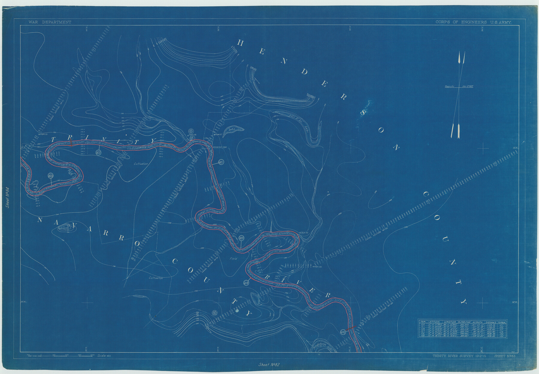
Henderson County Rolled Sketch 11
Trinity River Survey 1912-15, Sheet No. 83
N-1-45
-
Map/Doc
75950
-
Collection
General Map Collection
-
Object Dates
1915 (Creation Date)
1976/2/13 (File Date)
-
People and Organizations
War Department (Publisher)
-
Counties
Henderson
-
Subjects
River Surveys Surveying Rolled Sketch
-
Height x Width
29.4 x 42.4 inches
74.7 x 107.7 cm
-
Medium
blueprint/diazo
Part of: General Map Collection
Sterling County Rolled Sketch 26

Print $20.00
- Digital $50.00
Sterling County Rolled Sketch 26
1955
Size 23.8 x 21.4 inches
Map/Doc 7851
Baylor County Boundary File 8

Print $2.00
- Digital $50.00
Baylor County Boundary File 8
Size 11.2 x 8.6 inches
Map/Doc 50406
Harbor Pass and Bar at Brazos Santiago, Texas

Print $20.00
- Digital $50.00
Harbor Pass and Bar at Brazos Santiago, Texas
1871
Size 18.4 x 27.4 inches
Map/Doc 73039
Milam County Aerial Photograph Index Sheet 3

Print $20.00
- Digital $50.00
Milam County Aerial Photograph Index Sheet 3
1951
Size 24.3 x 20.4 inches
Map/Doc 86602
Runnels County Working Sketch 31

Print $20.00
- Digital $50.00
Runnels County Working Sketch 31
1959
Size 28.3 x 31.3 inches
Map/Doc 63629
Flight Mission No. DCL-5C, Frame 30, Kenedy County

Print $20.00
- Digital $50.00
Flight Mission No. DCL-5C, Frame 30, Kenedy County
1943
Size 18.6 x 22.3 inches
Map/Doc 85842
Hutchinson County Rolled Sketch 44-18

Print $20.00
- Digital $50.00
Hutchinson County Rolled Sketch 44-18
2002
Size 24.0 x 36.0 inches
Map/Doc 77554

Kinney County Working Sketch 34

Print $20.00
- Digital $50.00
Kinney County Working Sketch 34
1963
Size 23.0 x 26.9 inches
Map/Doc 70216
Dimmit County Rolled Sketch 8

Print $20.00
- Digital $50.00
Dimmit County Rolled Sketch 8
1941
Size 30.0 x 29.6 inches
Map/Doc 5718

Palo Pinto County Working Sketch 14

Print $20.00
- Digital $50.00
Palo Pinto County Working Sketch 14
1960
Size 27.2 x 27.4 inches
Map/Doc 71397
You may also like

DeWitt County Working Sketch 12

Print $20.00
- Digital $50.00
DeWitt County Working Sketch 12
1981
Size 17.0 x 12.5 inches
Map/Doc 68602
Jasper County Sketch File 32

Print $20.00
- Digital $50.00
Jasper County Sketch File 32
1906
Size 28.0 x 22.3 inches
Map/Doc 11853
Harris County Working Sketch 92

Print $40.00
- Digital $50.00
Harris County Working Sketch 92
1974
Size 33.8 x 55.5 inches
Map/Doc 69648
L Sketch from Ward and Crane Co's

Print $20.00
- Digital $50.00
L Sketch from Ward and Crane Co's
Size 39.6 x 23.2 inches
Map/Doc 90462
Wilbarger County Sketch File 14

Print $4.00
- Digital $50.00
Wilbarger County Sketch File 14
1885
Size 14.2 x 8.7 inches
Map/Doc 40203
Greater Texas and the Coast Country - The Winter Garden

Greater Texas and the Coast Country - The Winter Garden
1911
Size 9.4 x 4.5 inches
Map/Doc 97057
Gillespie County

Print $40.00
- Digital $50.00
Gillespie County
1887
Size 44.1 x 59.7 inches
Map/Doc 16835
Johnson County

Print $20.00
- Digital $50.00
Johnson County
1943
Size 42.0 x 38.8 inches
Map/Doc 73199
Bexar County Rolled Sketch 16
Print $20.00
- Digital $50.00
Bexar County Rolled Sketch 16
1847
Size 21.1 x 14.8 inches
Map/Doc 5141
La Salle County Sketch File 7

Print $22.00
- Digital $50.00
La Salle County Sketch File 7
Size 8.0 x 12.3 inches
Map/Doc 29456
Archer County Sketch File 3

Print $4.00
- Digital $50.00
Archer County Sketch File 3
Size 7.5 x 8.5 inches
Map/Doc 13628