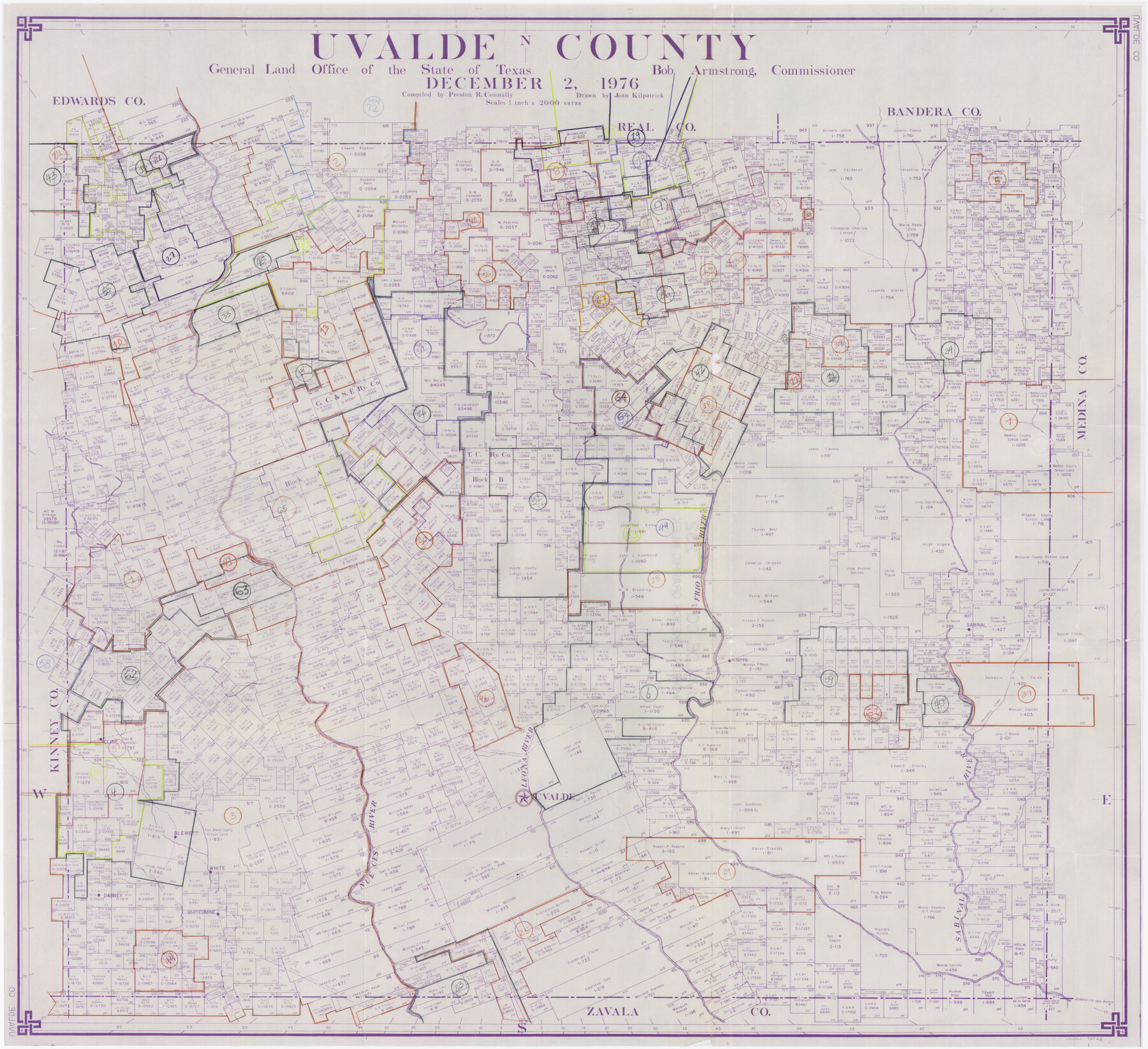
Uvalde County Working Sketch Graphic Index
-
Map/Doc
76723
-
Collection
General Map Collection
-
Object Dates
12/2/1976 (Creation Date)
-
People and Organizations
Preston R. Connally (Compiler)
Joan Kilpatrick (Draftsman)
-
Counties
Uvalde
-
Subjects
County Surveying Working Sketch
-
Height x Width
42.5 x 46.2 inches
108.0 x 117.4 cm
-
Scale
1" = 2000 varas
Part of: General Map Collection
Van Zandt County Sketch File 16a

Print $4.00
- Digital $50.00
Van Zandt County Sketch File 16a
1858
Size 8.5 x 8.0 inches
Map/Doc 39412
Hill County Working Sketch 2

Print $20.00
- Digital $50.00
Hill County Working Sketch 2
1947
Size 24.2 x 26.7 inches
Map/Doc 66188
Hays County Sketch File 10

Print $4.00
- Digital $50.00
Hays County Sketch File 10
1862
Size 8.2 x 10.7 inches
Map/Doc 26214
Roberts County Working Sketch 3

Print $20.00
- Digital $50.00
Roberts County Working Sketch 3
1949
Size 18.0 x 14.3 inches
Map/Doc 63529
Donley County Sketch File 6

Print $16.00
- Digital $50.00
Donley County Sketch File 6
1881
Size 12.9 x 8.5 inches
Map/Doc 21230
Gulf Oil Corp. Fishgide - Matagorda

Gulf Oil Corp. Fishgide - Matagorda
1960
Size 12.4 x 22.4 inches
Map/Doc 75976
Flight Mission No. CRC-1R, Frame 153, Chambers County

Print $20.00
- Digital $50.00
Flight Mission No. CRC-1R, Frame 153, Chambers County
1956
Size 18.8 x 22.5 inches
Map/Doc 84715
Cass County Sketch File 11

Print $6.00
- Digital $50.00
Cass County Sketch File 11
Size 10.4 x 14.4 inches
Map/Doc 17412
Burnet County Sketch File 21

Print $4.00
- Digital $50.00
Burnet County Sketch File 21
Size 8.4 x 6.6 inches
Map/Doc 16714
Brazoria County Working Sketch 50a

Print $20.00
- Digital $50.00
Brazoria County Working Sketch 50a
2003
Size 35.0 x 35.2 inches
Map/Doc 78344
Map of Texas and Pacific Ry. Company's Surveys in the 80 Mile Reserve

Print $20.00
- Digital $50.00
Map of Texas and Pacific Ry. Company's Surveys in the 80 Mile Reserve
1885
Size 44.0 x 46.6 inches
Map/Doc 83558
Connected Map of Austin's Colony (1892 tracing)

Print $40.00
- Digital $50.00
Connected Map of Austin's Colony (1892 tracing)
1837
Size 90.8 x 46.5 inches
Map/Doc 93359
You may also like
Harris County NRC Article 33.136 Sketch 11

Print $28.00
- Digital $50.00
Harris County NRC Article 33.136 Sketch 11
2007
Size 24.0 x 36.0 inches
Map/Doc 94658
Map of Aransas Co.

Print $20.00
- Digital $50.00
Map of Aransas Co.
1896
Size 35.1 x 32.0 inches
Map/Doc 4776
General Highway Map Moore County

Print $3.00
- Digital $50.00
General Highway Map Moore County
Size 14.4 x 10.3 inches
Map/Doc 92289
Stephens County Working Sketch 24

Print $20.00
- Digital $50.00
Stephens County Working Sketch 24
1976
Size 39.2 x 31.9 inches
Map/Doc 63967
[Sketch of Randall County]
![91756, [Sketch of Randall County], Twichell Survey Records](https://historictexasmaps.com/wmedia_w700/maps/91756-1.tif.jpg)
Print $20.00
- Digital $50.00
[Sketch of Randall County]
Size 21.3 x 18.2 inches
Map/Doc 91756
Uvalde County Working Sketch 35

Print $20.00
- Digital $50.00
Uvalde County Working Sketch 35
1964
Size 30.3 x 30.2 inches
Map/Doc 72105
Right of Way and Track Map, the Missouri, Kansas and Texas Ry. of Texas - Henrietta Division

Print $20.00
- Digital $50.00
Right of Way and Track Map, the Missouri, Kansas and Texas Ry. of Texas - Henrietta Division
1918
Size 11.7 x 26.8 inches
Map/Doc 64756
Flight Mission No. BRA-7M, Frame 80, Jefferson County

Print $20.00
- Digital $50.00
Flight Mission No. BRA-7M, Frame 80, Jefferson County
1953
Size 15.9 x 15.8 inches
Map/Doc 85502
[Area around Edwin Harry survey 475, Chas. H. Smith survey 105 and A. M Fuqua survey 463]
![90423, [Area around Edwin Harry survey 475, Chas. H. Smith survey 105 and A. M Fuqua survey 463], Twichell Survey Records](https://historictexasmaps.com/wmedia_w700/maps/90423-1.tif.jpg)
Print $20.00
- Digital $50.00
[Area around Edwin Harry survey 475, Chas. H. Smith survey 105 and A. M Fuqua survey 463]
Size 21.0 x 15.6 inches
Map/Doc 90423
Pecos County Rolled Sketch 22

Print $20.00
- Digital $50.00
Pecos County Rolled Sketch 22
1886
Size 24.3 x 37.0 inches
Map/Doc 93455
Map of Throckmorton County Young Land District

Print $20.00
- Digital $50.00
Map of Throckmorton County Young Land District
1859
Size 25.2 x 20.3 inches
Map/Doc 4078
